Hambleton is a town in Tucker County, West Virginia, United States. The population was 216 at the 2020 census. Hambleton was established in 1889, but not incorporated until 1905. It was named by then United States Senator Stephen B. Elkins in honor of a stockholder by this name in the West Virginia Central Railroad Company. The town was previously known as Hulings.
| Name: | Hambleton town |
|---|---|
| LSAD Code: | 43 |
| LSAD Description: | town (suffix) |
| State: | West Virginia |
| County: | Tucker County |
| Elevation: | 1,722 ft (525 m) |
| Total Area: | 0.16 sq mi (0.42 km²) |
| Land Area: | 0.14 sq mi (0.36 km²) |
| Water Area: | 0.02 sq mi (0.06 km²) |
| Total Population: | 216 |
| Population Density: | 1,550.72/sq mi (600.28/km²) |
| ZIP code: | 26269 |
| Area code: | 304 |
| FIPS code: | 5434492 |
| GNISfeature ID: | 1551333 |
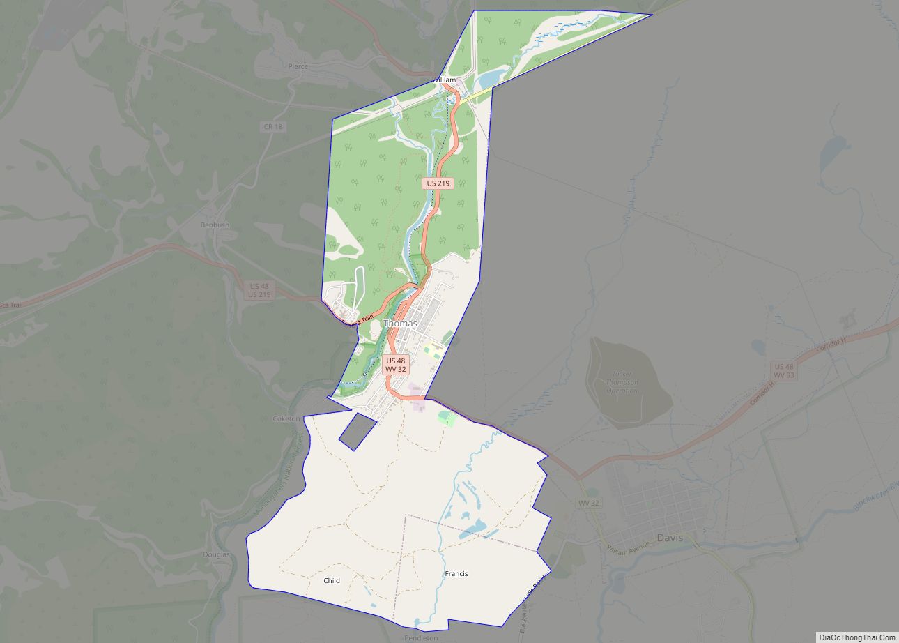
Online Interactive Map
Click on ![]() to view map in "full screen" mode.
to view map in "full screen" mode.
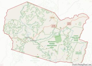
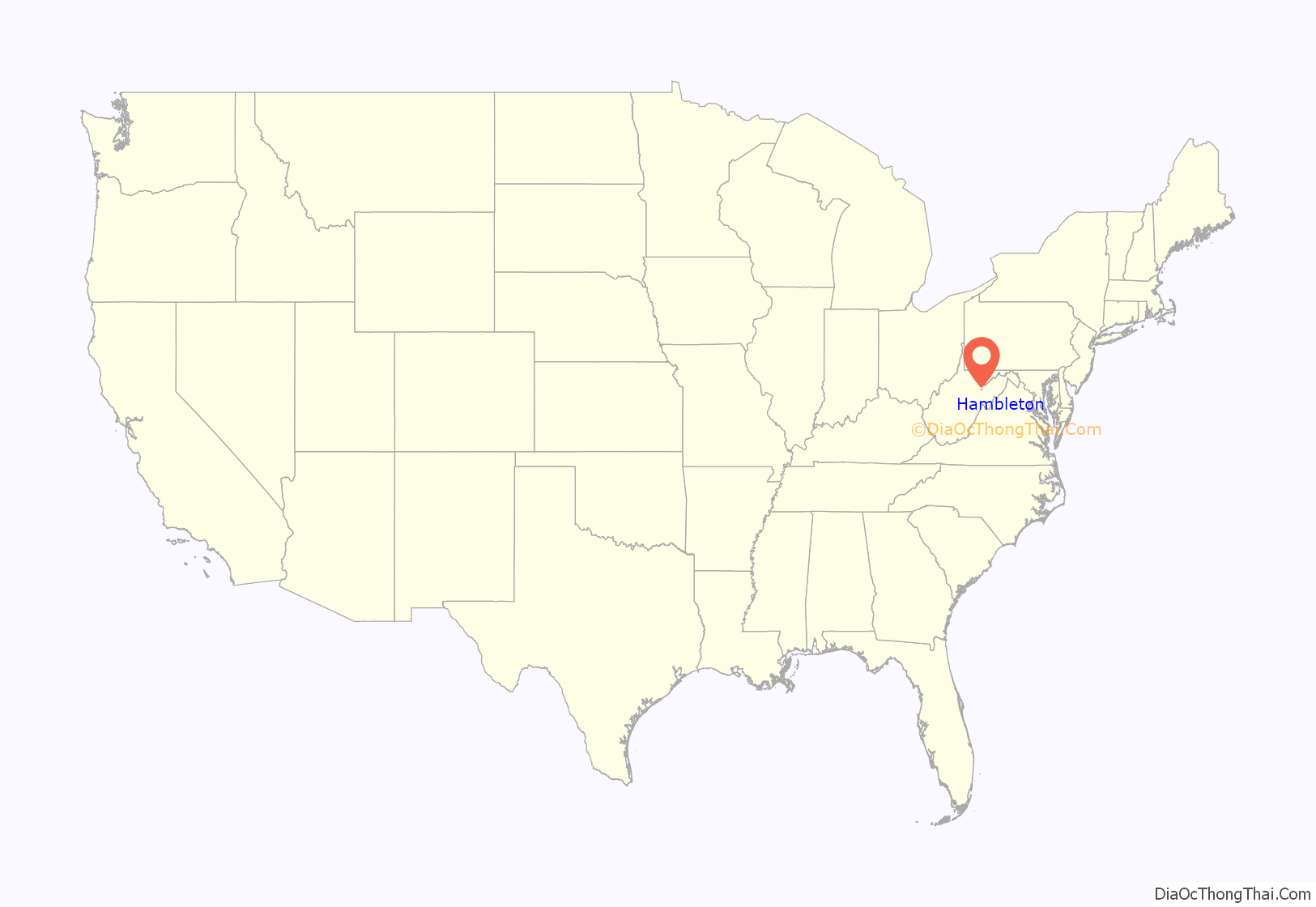
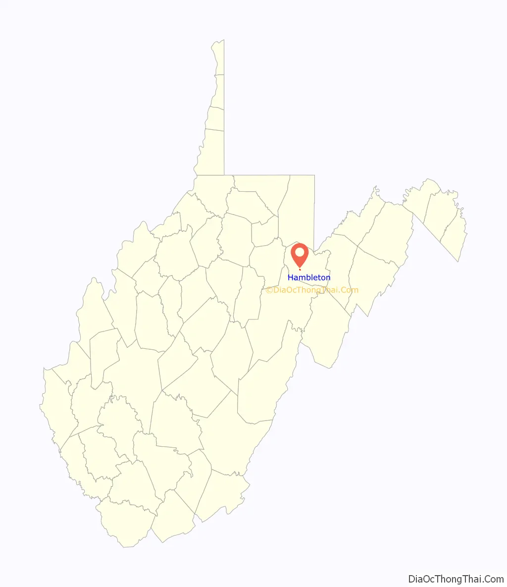
Hambleton location map. Where is Hambleton town?
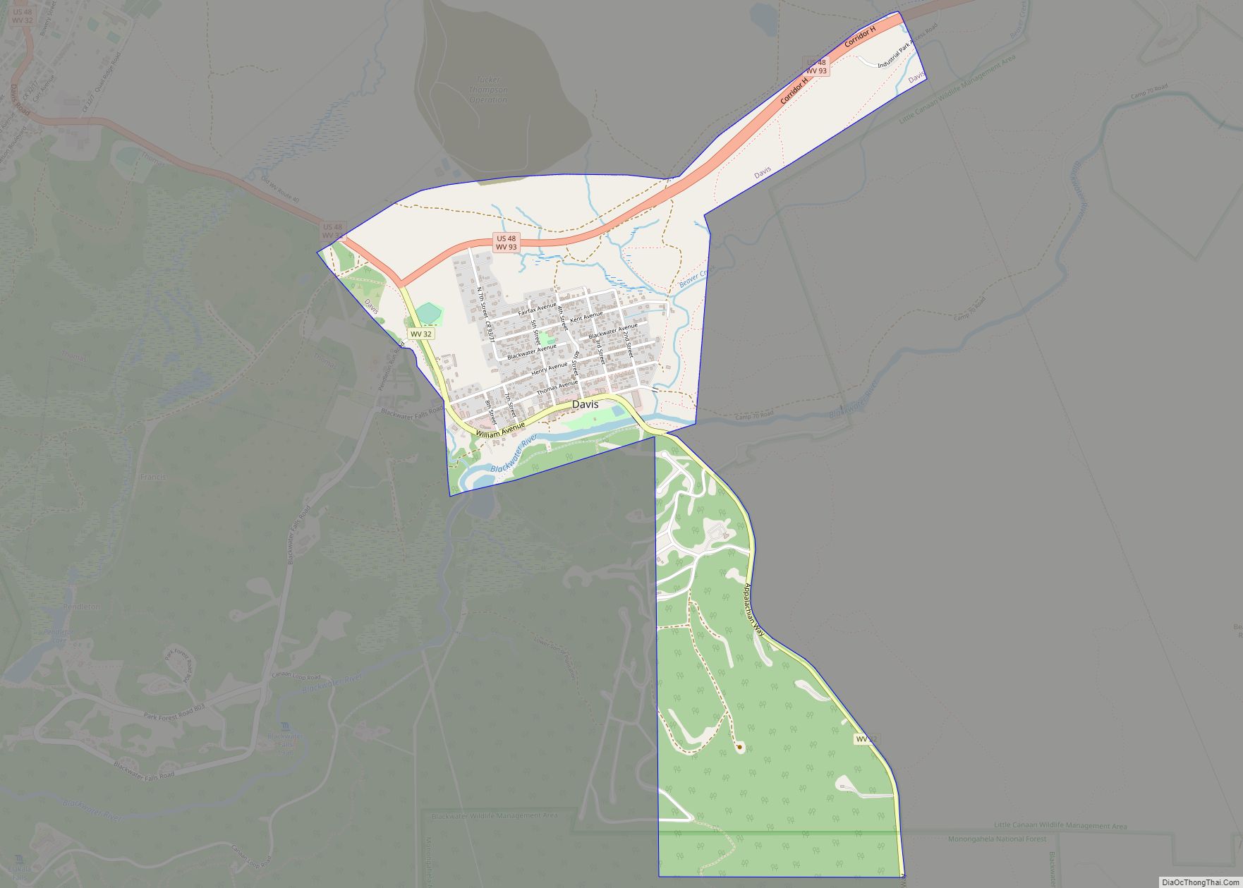
Hambleton Road Map

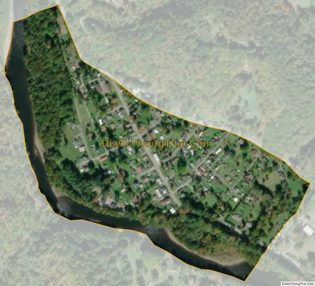
Hambleton city Satellite Map
Geography
Hambleton is located at 39°4′53″N 79°38′45″W / 39.08139°N 79.64583°W / 39.08139; -79.64583 (39.081439, -79.645851), along the Black Fork River.
According to the United States Census Bureau, the town has a total area of 0.16 square miles (0.41 km), of which 0.12 square miles (0.31 km) is land and 0.04 square miles (0.10 km) is water.
Climate
The climate in this area has mild differences between highs and lows, and there is adequate rainfall year-round. According to the Köppen Climate Classification system, Hambleton has a marine west coast climate, abbreviated “Cfb” on climate maps.
See also
Map of West Virginia State and its subdivision:- Barbour
- Berkeley
- Boone
- Braxton
- Brooke
- Cabell
- Calhoun
- Clay
- Doddridge
- Fayette
- Gilmer
- Grant
- Greenbrier
- Hampshire
- Hancock
- Hardy
- Harrison
- Jackson
- Jefferson
- Kanawha
- Lewis
- Lincoln
- Logan
- Marion
- Marshall
- Mason
- McDowell
- Mercer
- Mineral
- Mingo
- Monongalia
- Monroe
- Morgan
- Nicholas
- Ohio
- Pendleton
- Pleasants
- Pocahontas
- Preston
- Putnam
- Raleigh
- Randolph
- Ritchie
- Roane
- Summers
- Taylor
- Tucker
- Tyler
- Upshur
- Wayne
- Webster
- Wetzel
- Wirt
- Wood
- Wyoming
- Alabama
- Alaska
- Arizona
- Arkansas
- California
- Colorado
- Connecticut
- Delaware
- District of Columbia
- Florida
- Georgia
- Hawaii
- Idaho
- Illinois
- Indiana
- Iowa
- Kansas
- Kentucky
- Louisiana
- Maine
- Maryland
- Massachusetts
- Michigan
- Minnesota
- Mississippi
- Missouri
- Montana
- Nebraska
- Nevada
- New Hampshire
- New Jersey
- New Mexico
- New York
- North Carolina
- North Dakota
- Ohio
- Oklahoma
- Oregon
- Pennsylvania
- Rhode Island
- South Carolina
- South Dakota
- Tennessee
- Texas
- Utah
- Vermont
- Virginia
- Washington
- West Virginia
- Wisconsin
- Wyoming