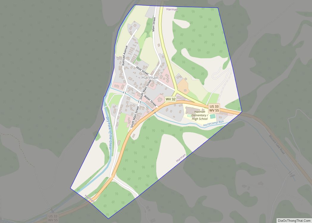
Harman is a town in Randolph County, West Virginia, United States. The population was 96 at the 2020 census.
| Name: | Harman town |
|---|---|
| LSAD Code: | 43 |
| LSAD Description: | town (suffix) |
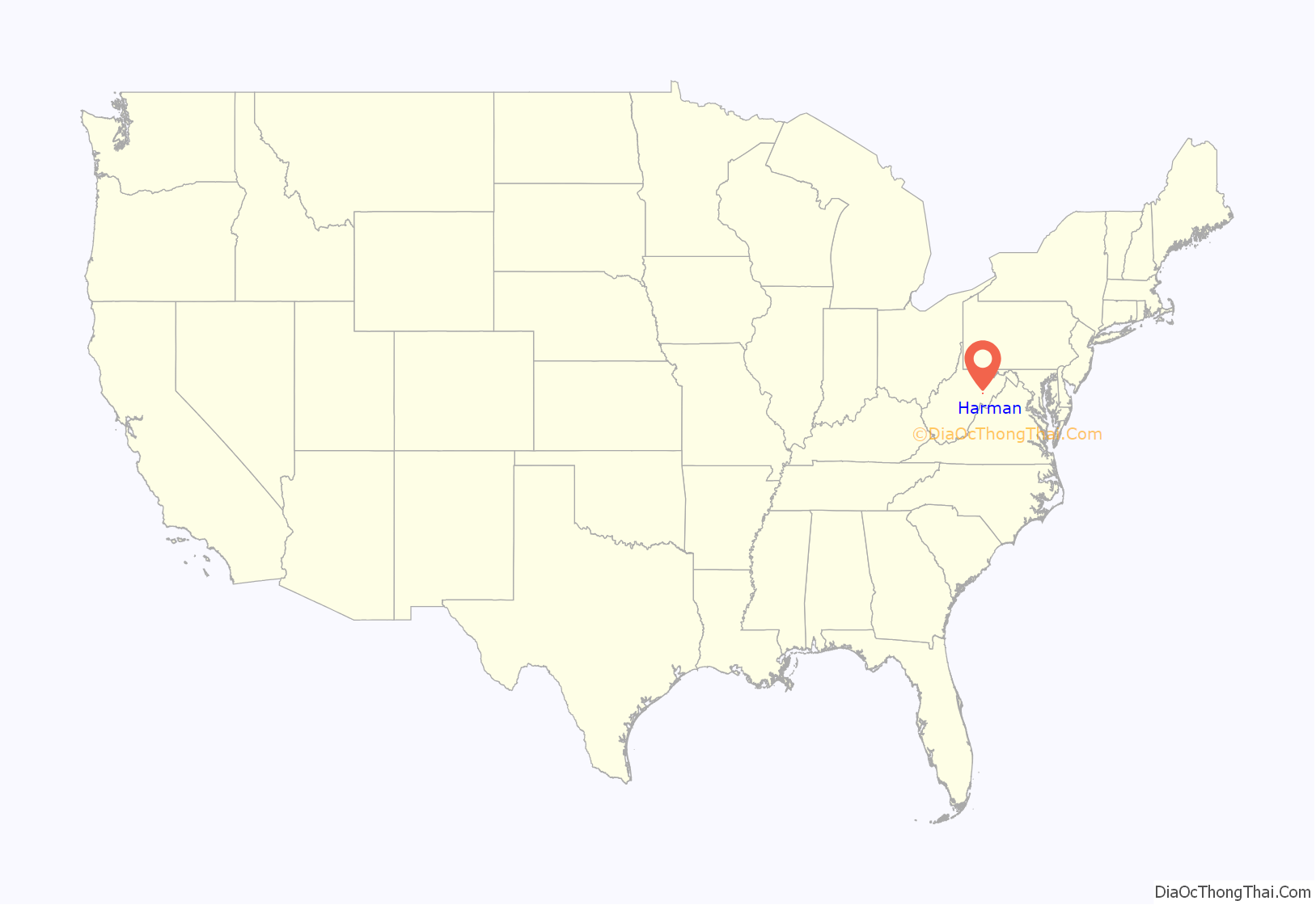
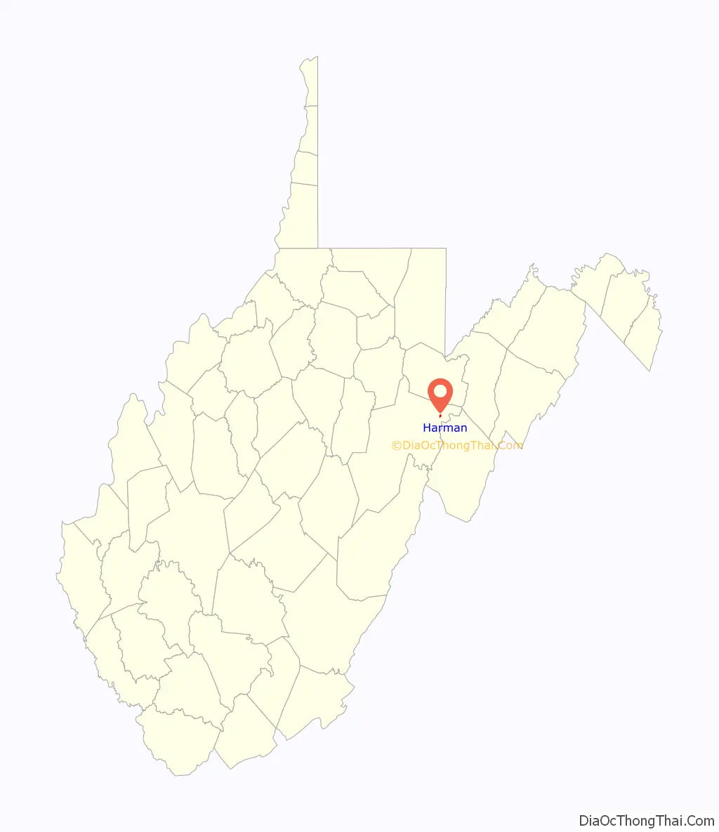
| State: | West Virginia |
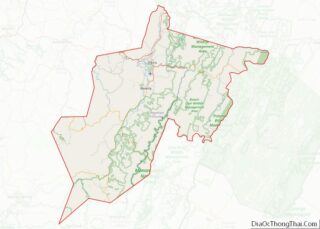
| County: | Randolph County |
| Elevation: | 2,359 ft (719 m) |
| Total Area: | 0.32 sq mi (0.84 km²) |
| Land Area: | 0.32 sq mi (0.84 km²) |
| Water Area: | 0.00 sq mi (0.00 km²) |
| Total Population: | 96 |
| Population Density: | 430.34/sq mi (165.99/km²) |
| ZIP code: | 26270 |
| Area code: | 304 |
| FIPS code: | 5435092 |
| GNISfeature ID: | 1551361 |
Online Interactive Map
Click on ![]() to view map in "full screen" mode.
to view map in "full screen" mode.
Harman location map. Where is Harman town?
History
The community was named for Rev. Asa Harman, the original owner of the land on which the town is now located. The Day-Vandevander Mill was listed on the National Register of Historic Places in 1987.
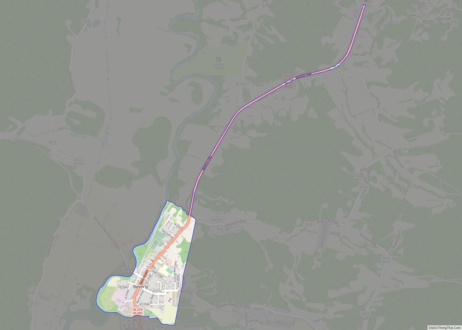
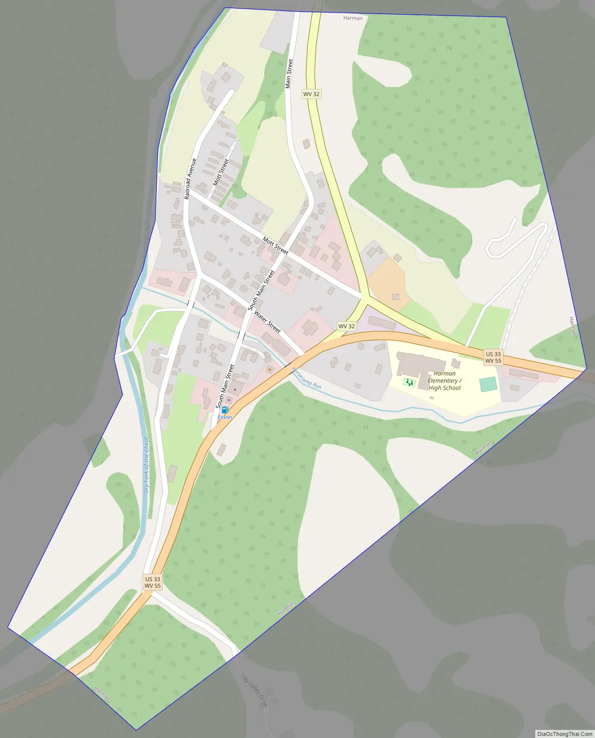
Harman Road Map
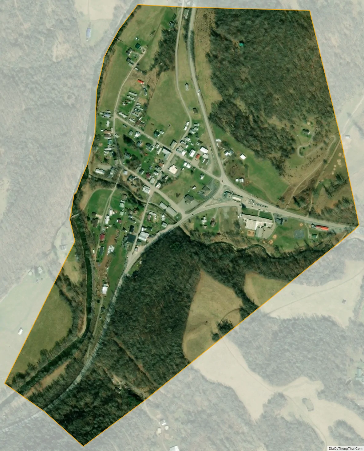
Harman city Satellite Map
Geography
Harman is located in the Potomac Highlands at 38°55′16″N 79°31′31″W / 38.921025°N 79.525336°W / 38.921025; -79.525336 (38.921025, -79.525336). The town sits in a valley at the intersection of Route 33/55, which runs east–west, and Route 32 which starts at Harman and heads north to the Canaan Valley area.
According to the United States Census Bureau, the town has a total area of 0.32 square miles (0.83 km), all land.
See also
Map of West Virginia State and its subdivision:- Barbour
- Berkeley
- Boone
- Braxton
- Brooke
- Cabell
- Calhoun
- Clay
- Doddridge
- Fayette
- Gilmer
- Grant
- Greenbrier
- Hampshire
- Hancock
- Hardy
- Harrison
- Jackson
- Jefferson
- Kanawha
- Lewis
- Lincoln
- Logan
- Marion
- Marshall
- Mason
- McDowell
- Mercer
- Mineral
- Mingo
- Monongalia
- Monroe
- Morgan
- Nicholas
- Ohio
- Pendleton
- Pleasants
- Pocahontas
- Preston
- Putnam
- Raleigh
- Randolph
- Ritchie
- Roane
- Summers
- Taylor
- Tucker
- Tyler
- Upshur
- Wayne
- Webster
- Wetzel
- Wirt
- Wood
- Wyoming
- Alabama
- Alaska
- Arizona
- Arkansas
- California
- Colorado
- Connecticut
- Delaware
- District of Columbia
- Florida
- Georgia
- Hawaii
- Idaho
- Illinois
- Indiana
- Iowa
- Kansas
- Kentucky
- Louisiana
- Maine
- Maryland
- Massachusetts
- Michigan
- Minnesota
- Mississippi
- Missouri
- Montana
- Nebraska
- Nevada
- New Hampshire
- New Jersey
- New Mexico
- New York
- North Carolina
- North Dakota
- Ohio
- Oklahoma
- Oregon
- Pennsylvania
- Rhode Island
- South Carolina
- South Dakota
- Tennessee
- Texas
- Utah
- Vermont
- Virginia
- Washington
- West Virginia
- Wisconsin
- Wyoming