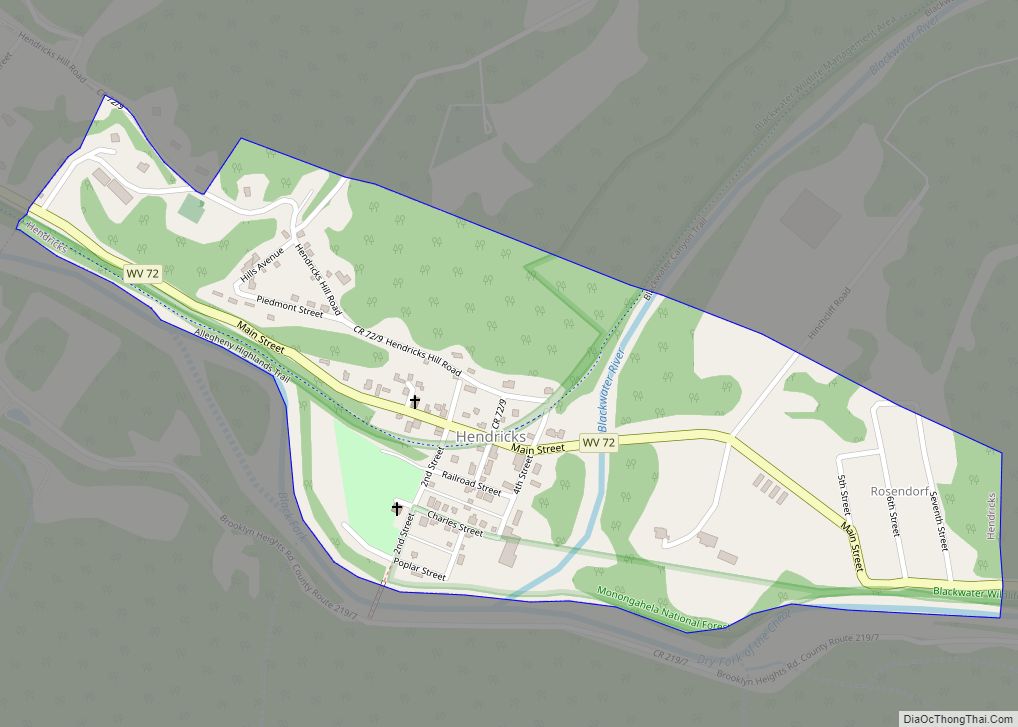
Hendricks is a town in Tucker County, West Virginia, United States. The population was 226 at the 2020 census. The Blackwater River and the Dry Fork join at Hendricks to form the Black Fork, a principal tributary of the Cheat River.
| Name: | Hendricks town |
|---|---|
| LSAD Code: | 43 |
| LSAD Description: | town (suffix) |
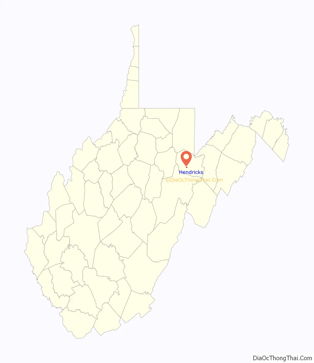
| State: | West Virginia |
| County: | Tucker County |
| Elevation: | 1,716 ft (523 m) |
| Total Area: | 0.35 sq mi (0.90 km²) |
| Land Area: | 0.34 sq mi (0.89 km²) |
| Water Area: | 0.00 sq mi (0.01 km²) |
| Total Population: | 226 |
| Population Density: | 751.46/sq mi (290.32/km²) |
| ZIP code: | 26271 |
| Area code: | 304 |
| FIPS code: | 5436460 |
| GNISfeature ID: | 1554682 |
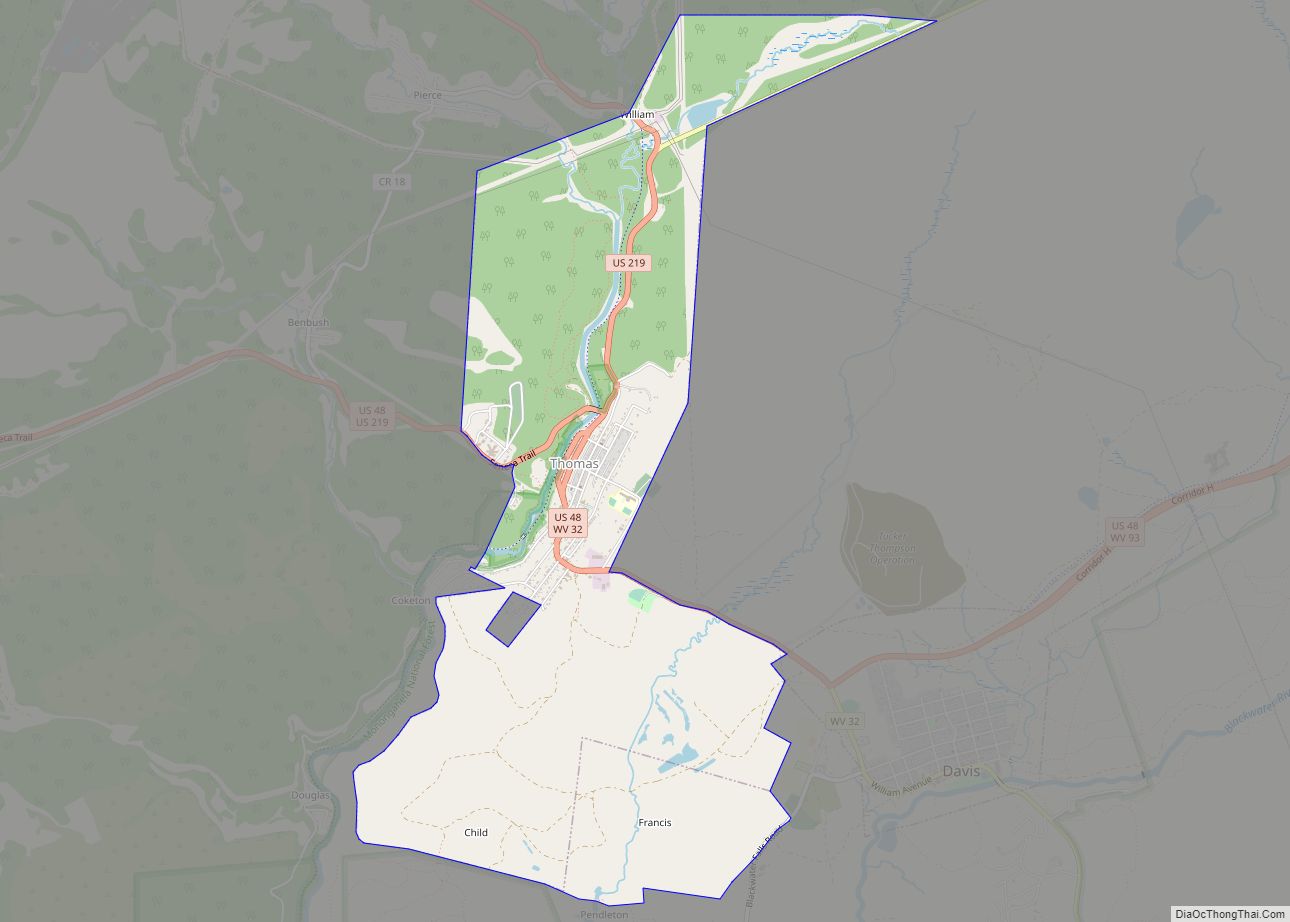
Online Interactive Map
Click on ![]() to view map in "full screen" mode.
to view map in "full screen" mode.
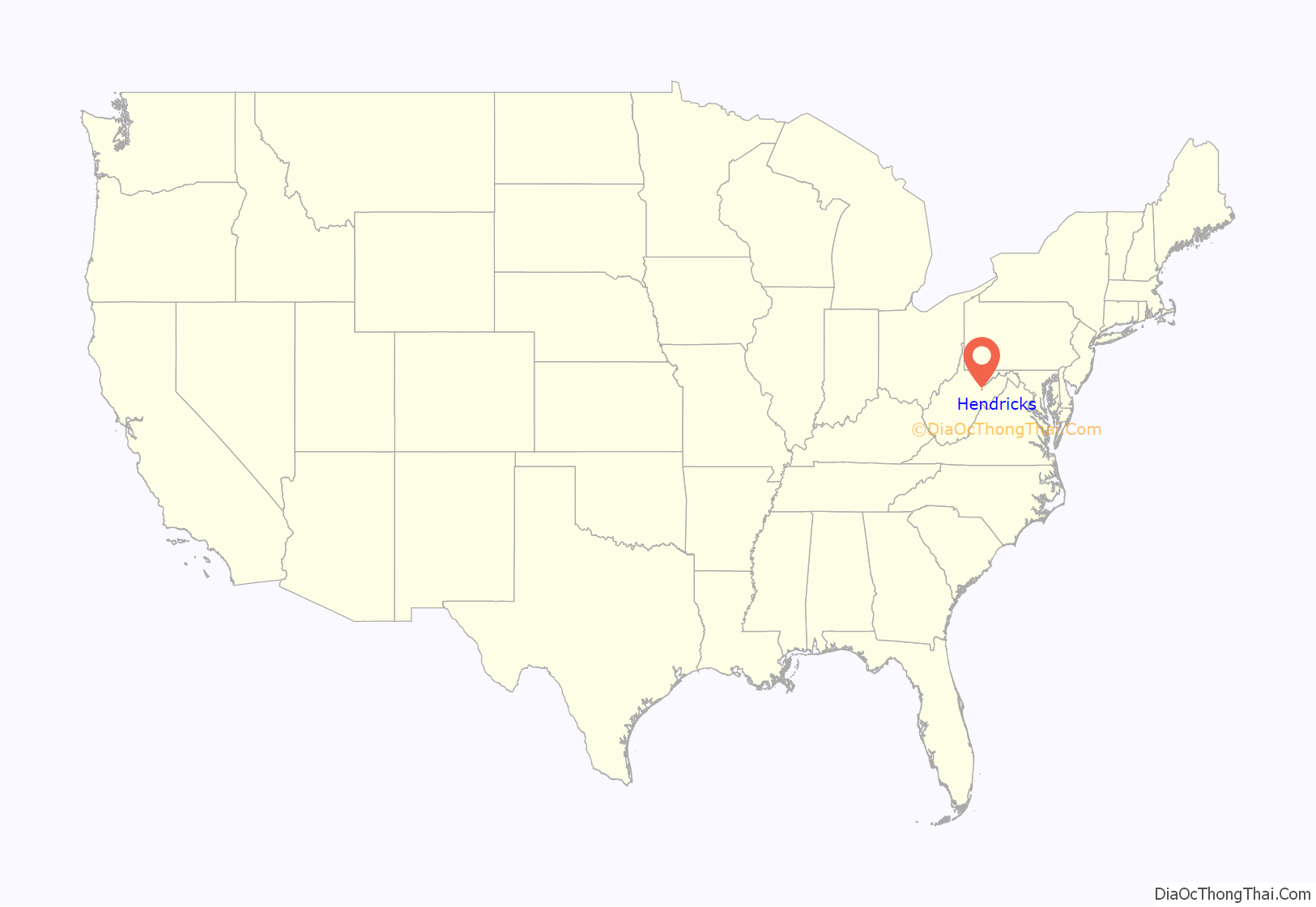
Hendricks location map. Where is Hendricks town?
History
In 1803, after three unproductive years in nearby Canaan Valley, German settler Henry Fansler (d. 1843) settled at the mouth of the Blackwater River at the present site of Hendricks. He called the settlement “Eden”. Hendricks was incorporated in 1894 and was named by local coal and timber magnate Henry Gassaway Davis for Vice President Thomas A. Hendricks.
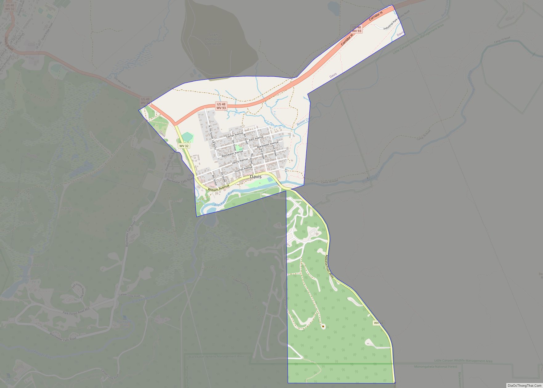
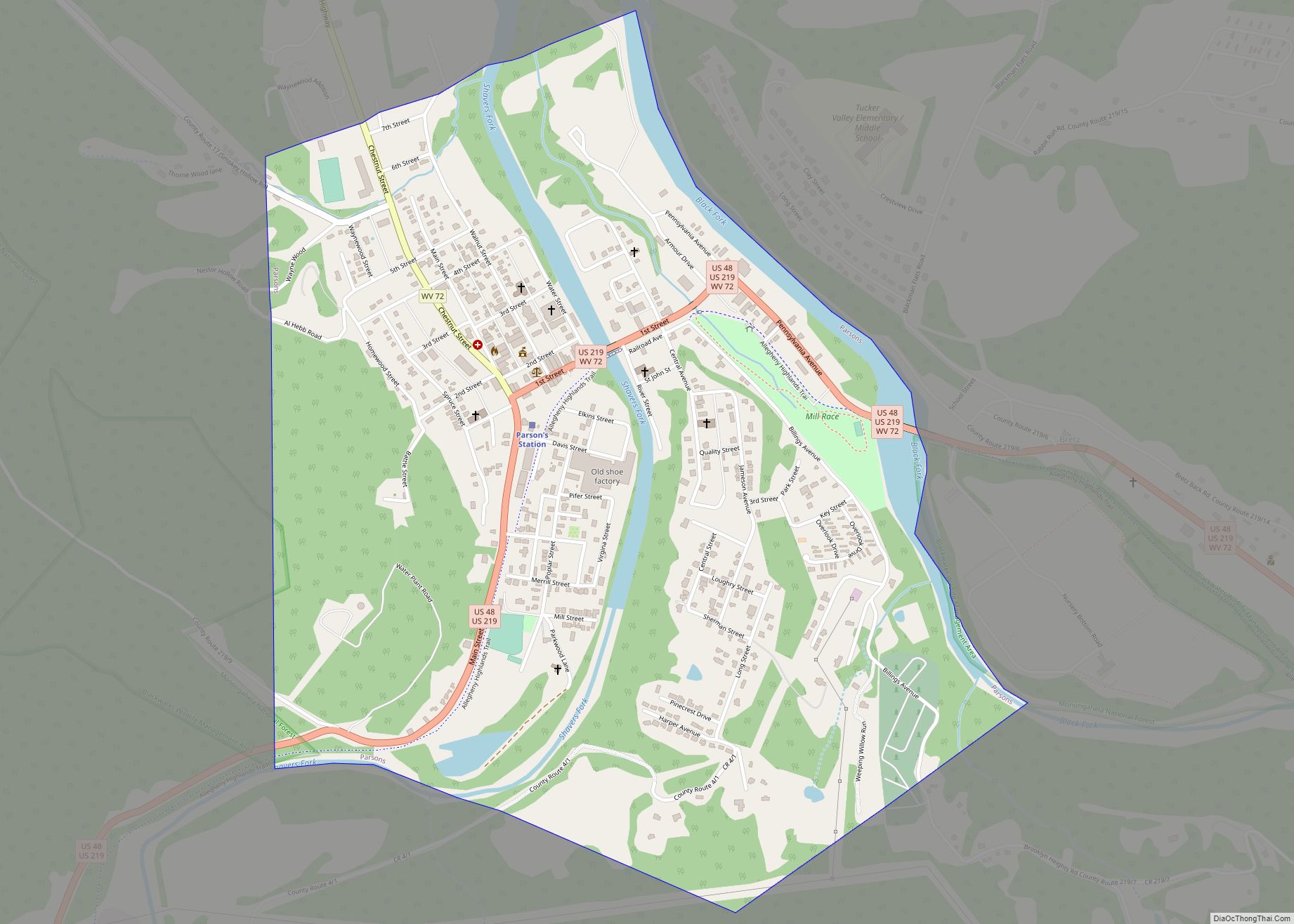
Hendricks Road Map
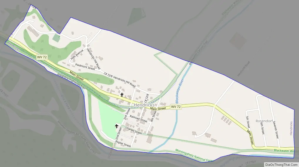
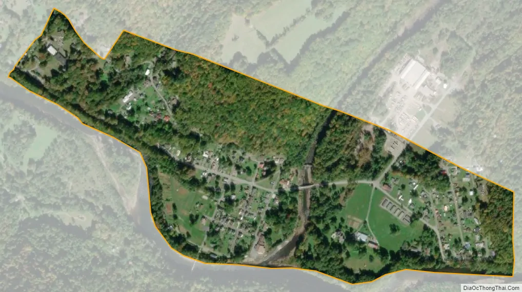
Hendricks city Satellite Map
Geography
Hendricks is located at 39°4′30″N 79°37′53″W / 39.07500°N 79.63139°W / 39.07500; -79.63139 (39.074883, -79.631399).
According to the United States Census Bureau, the town has a total area of 0.34 square miles (0.88 km), all land.
See also
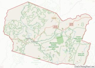
Map of West Virginia State and its subdivision:- Barbour
- Berkeley
- Boone
- Braxton
- Brooke
- Cabell
- Calhoun
- Clay
- Doddridge
- Fayette
- Gilmer
- Grant
- Greenbrier
- Hampshire
- Hancock
- Hardy
- Harrison
- Jackson
- Jefferson
- Kanawha
- Lewis
- Lincoln
- Logan
- Marion
- Marshall
- Mason
- McDowell
- Mercer
- Mineral
- Mingo
- Monongalia
- Monroe
- Morgan
- Nicholas
- Ohio
- Pendleton
- Pleasants
- Pocahontas
- Preston
- Putnam
- Raleigh
- Randolph
- Ritchie
- Roane
- Summers
- Taylor
- Tucker
- Tyler
- Upshur
- Wayne
- Webster
- Wetzel
- Wirt
- Wood
- Wyoming
- Alabama
- Alaska
- Arizona
- Arkansas
- California
- Colorado
- Connecticut
- Delaware
- District of Columbia
- Florida
- Georgia
- Hawaii
- Idaho
- Illinois
- Indiana
- Iowa
- Kansas
- Kentucky
- Louisiana
- Maine
- Maryland
- Massachusetts
- Michigan
- Minnesota
- Mississippi
- Missouri
- Montana
- Nebraska
- Nevada
- New Hampshire
- New Jersey
- New Mexico
- New York
- North Carolina
- North Dakota
- Ohio
- Oklahoma
- Oregon
- Pennsylvania
- Rhode Island
- South Carolina
- South Dakota
- Tennessee
- Texas
- Utah
- Vermont
- Virginia
- Washington
- West Virginia
- Wisconsin
- Wyoming