Huttonsville is a town in Randolph County, West Virginia, United States, along the Tygart Valley River. The population was 163 at the 2020 census.
| Name: | Huttonsville town |
|---|---|
| LSAD Code: | 43 |
| LSAD Description: | town (suffix) |
| State: | West Virginia |
| County: | Randolph County |
| Elevation: | 2,037 ft (621 m) |
| Total Area: | 0.30 sq mi (0.78 km²) |
| Land Area: | 0.30 sq mi (0.78 km²) |
| Water Area: | 0.00 sq mi (0.00 km²) |
| Total Population: | 163 |
| Population Density: | 693.07/sq mi (267.58/km²) |
| ZIP code: | 26273 |
| Area code: | 304 |
| FIPS code: | 5439628 |
| GNISfeature ID: | 1551537 |
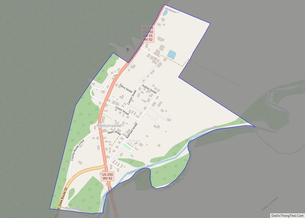
Online Interactive Map
Click on ![]() to view map in "full screen" mode.
to view map in "full screen" mode.
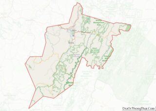
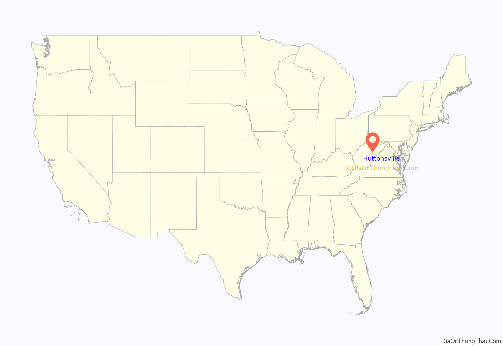
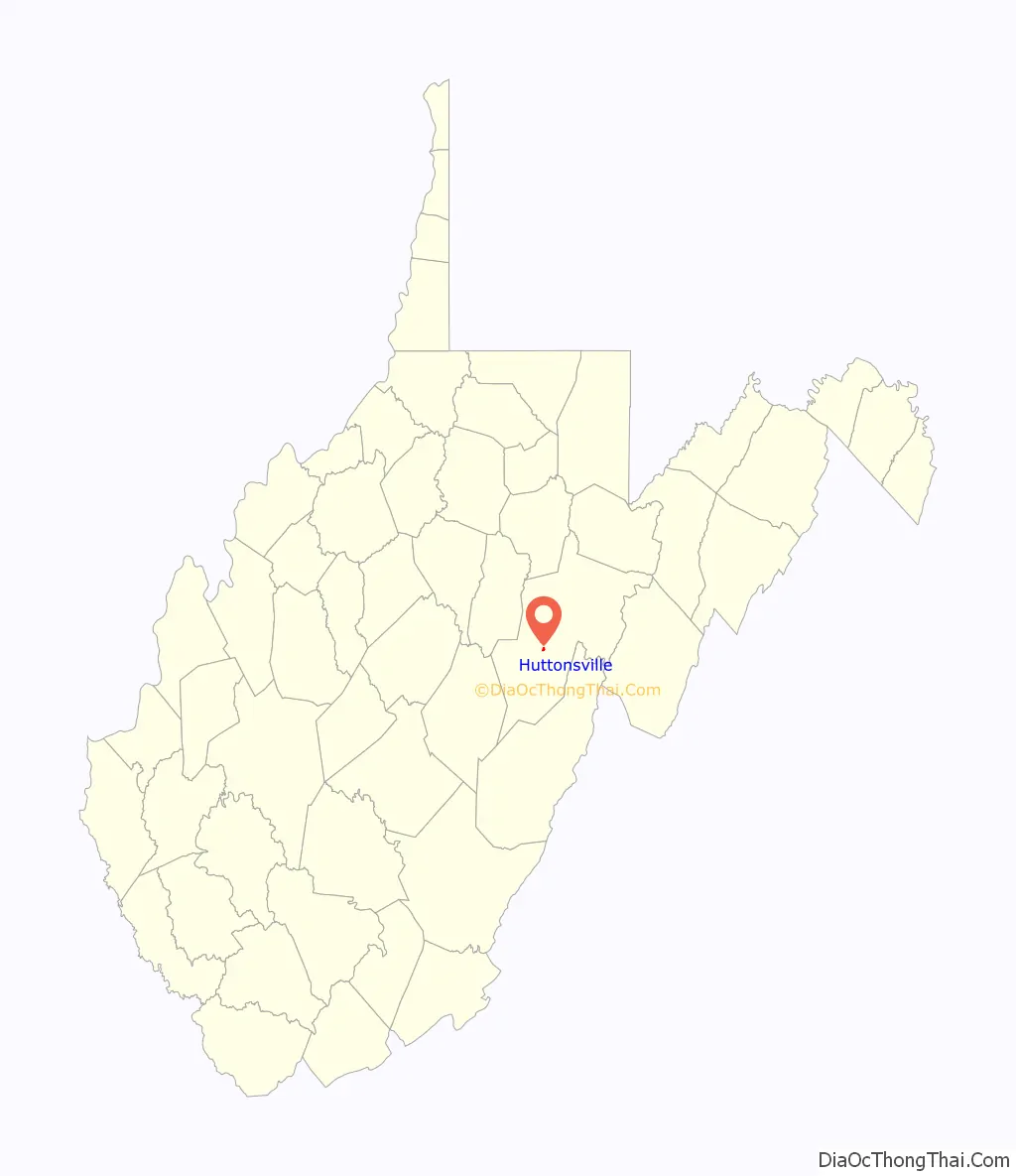
Huttonsville location map. Where is Huttonsville town?
History
Huttonsville was named for Jonathan Hutton, a pioneer settler.
Located at Huttonsville are the E. E. Hutton House and Tygarts Valley Church, listed on the National Register of Historic Places. Located near Huttonsville are the site of Cheat Summit Fort and Fort Marrow, also listed on the Register.
Huttonsville Correctional Center of the West Virginia Division of Corrections and Rehabilitation is located in the area.
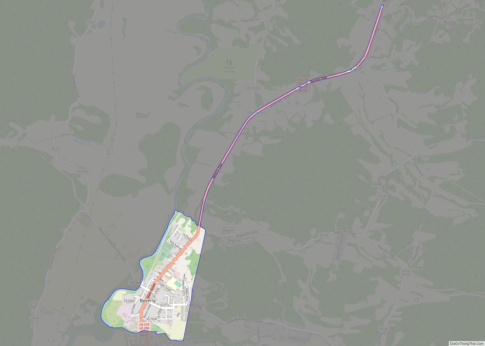
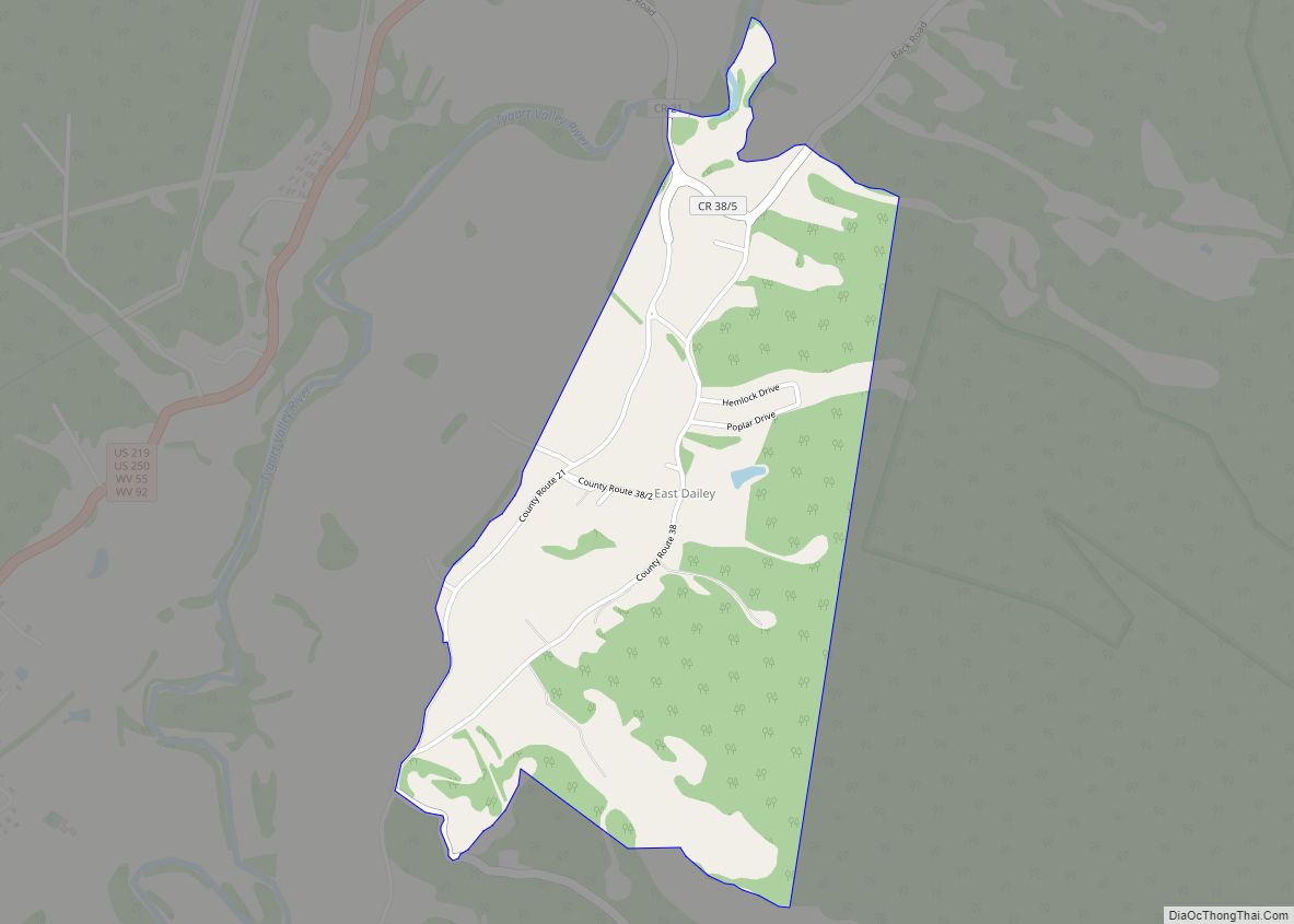
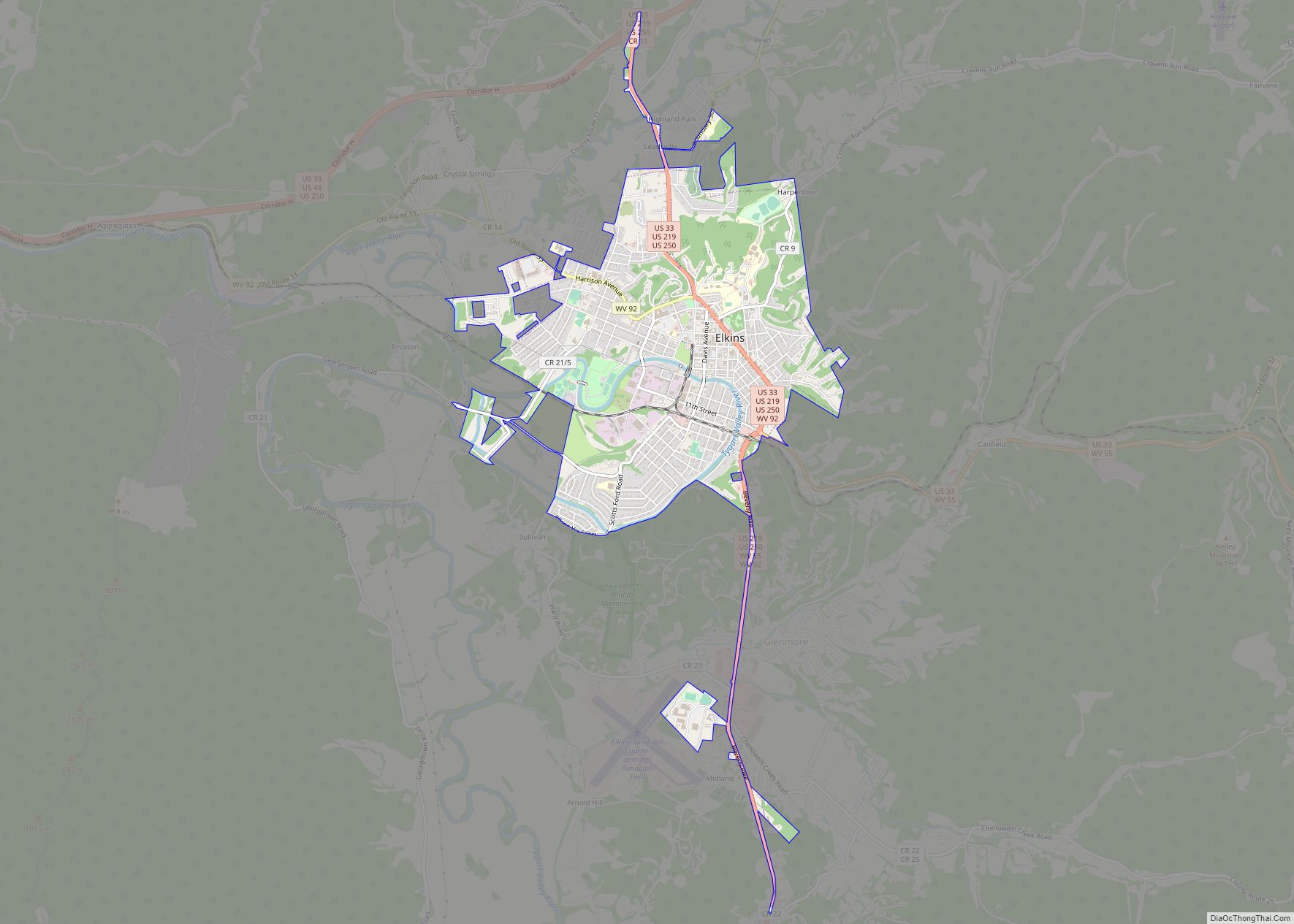
Huttonsville Road Map
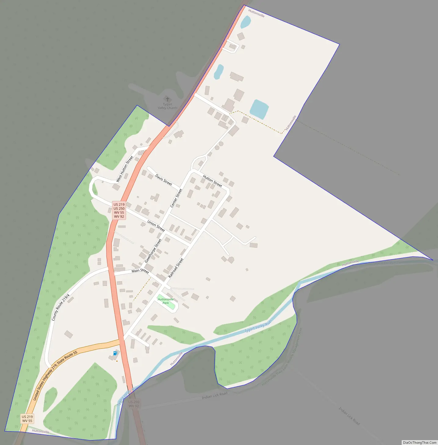
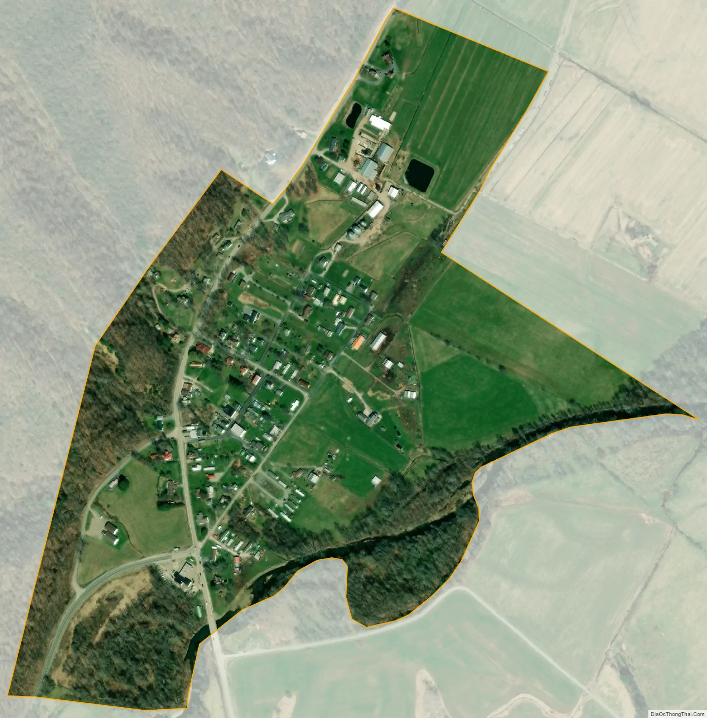
Huttonsville city Satellite Map
Geography
Huttonsville is located at 38°42′48″N 79°58′38″W / 38.71333°N 79.97722°W / 38.71333; -79.97722 (38.713266, -79.977329).
According to the United States Census Bureau, the town has a total area of 0.30 square miles (0.78 km), all land.
Climate
The climate in this area has mild differences between highs and lows, and there is adequate rainfall year-round. According to the Köppen Climate Classification system, Huttonsville has a marine west coast climate, abbreviated “Cfb” on climate maps.
See also
Map of West Virginia State and its subdivision:- Barbour
- Berkeley
- Boone
- Braxton
- Brooke
- Cabell
- Calhoun
- Clay
- Doddridge
- Fayette
- Gilmer
- Grant
- Greenbrier
- Hampshire
- Hancock
- Hardy
- Harrison
- Jackson
- Jefferson
- Kanawha
- Lewis
- Lincoln
- Logan
- Marion
- Marshall
- Mason
- McDowell
- Mercer
- Mineral
- Mingo
- Monongalia
- Monroe
- Morgan
- Nicholas
- Ohio
- Pendleton
- Pleasants
- Pocahontas
- Preston
- Putnam
- Raleigh
- Randolph
- Ritchie
- Roane
- Summers
- Taylor
- Tucker
- Tyler
- Upshur
- Wayne
- Webster
- Wetzel
- Wirt
- Wood
- Wyoming
- Alabama
- Alaska
- Arizona
- Arkansas
- California
- Colorado
- Connecticut
- Delaware
- District of Columbia
- Florida
- Georgia
- Hawaii
- Idaho
- Illinois
- Indiana
- Iowa
- Kansas
- Kentucky
- Louisiana
- Maine
- Maryland
- Massachusetts
- Michigan
- Minnesota
- Mississippi
- Missouri
- Montana
- Nebraska
- Nevada
- New Hampshire
- New Jersey
- New Mexico
- New York
- North Carolina
- North Dakota
- Ohio
- Oklahoma
- Oregon
- Pennsylvania
- Rhode Island
- South Carolina
- South Dakota
- Tennessee
- Texas
- Utah
- Vermont
- Virginia
- Washington
- West Virginia
- Wisconsin
- Wyoming