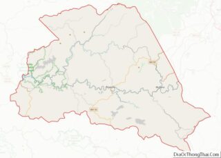
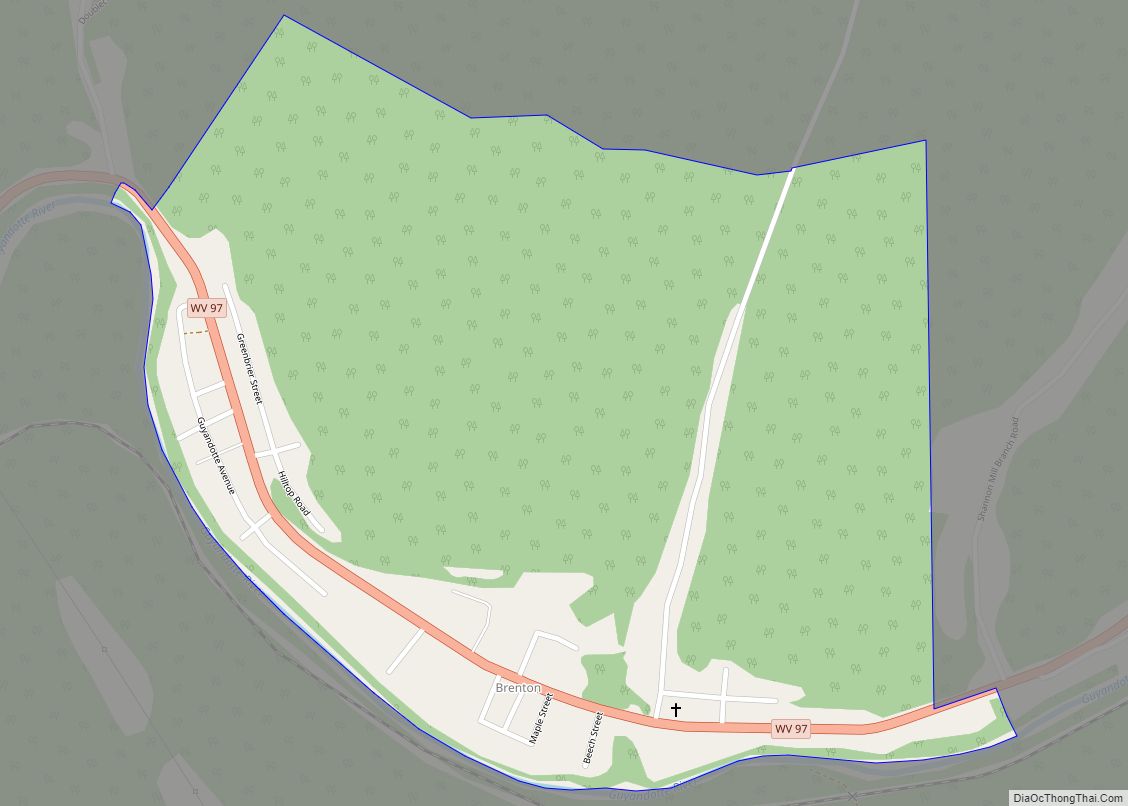
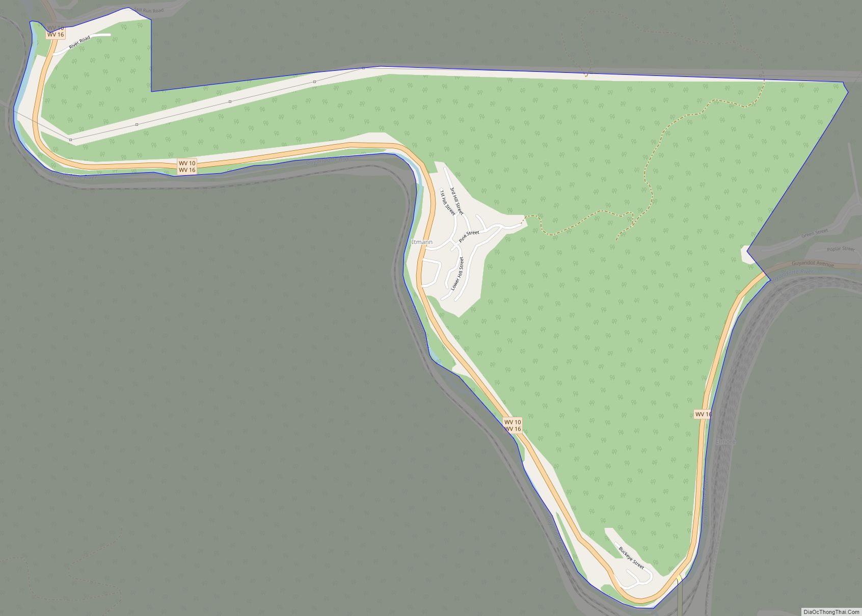
Itmann is a census-designated place (CDP) and former mining town located in Wyoming County, West Virginia, United States, between Pineville and Mullens off West Virginia Route 16. As of the 2010 census, its population was 293; it had 138 homes, 119 of which were occupied.
| Name: | Itmann CDP |
|---|---|
| LSAD Code: | 57 |
| LSAD Description: | CDP (suffix) |
| State: | West Virginia |
| County: | Wyoming County |
| Elevation: | 1,388 ft (423 m) |
| Total Area: | 1.007 sq mi (2.61 km²) |
| Land Area: | 0.987 sq mi (2.56 km²) |
| Water Area: | 0.020 sq mi (0.05 km²) |
| Total Population: | 293 |
| Population Density: | 290/sq mi (110/km²) |
| ZIP code: | 24847 |
| Area code: | 304 |
| FIPS code: | 5440444 |
| GNISfeature ID: | 1543986 |
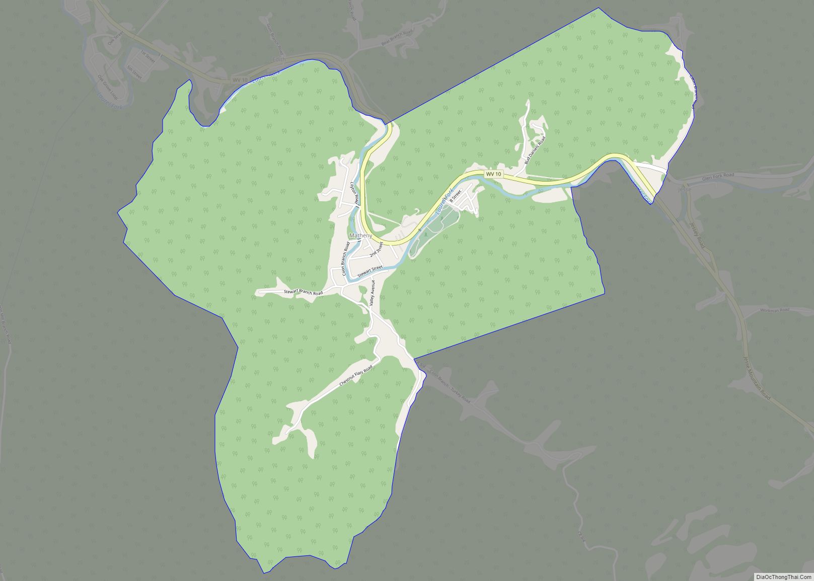
Online Interactive Map
Click on ![]() to view map in "full screen" mode.
to view map in "full screen" mode.
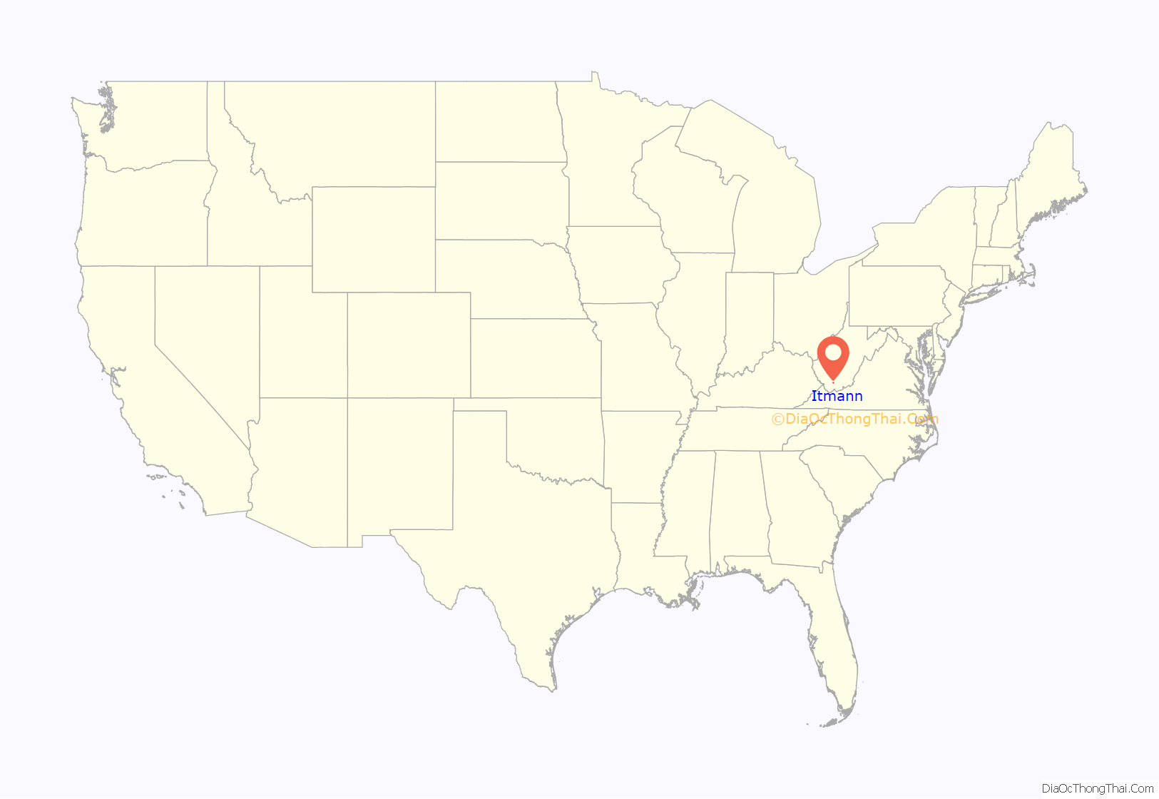
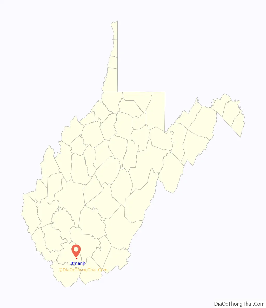
Itmann location map. Where is Itmann CDP?
History
In 1916, the Pocahontas Fuel Company constructed 120 dwellings near the mouth of Barkers Creek. The Itmann mine was opened in 1918 by the Pocahontas Fuel Co. (now CONSOL) It was named after the president of the company, Isaac T. Mann, or I. T. Mann which was eventually shortened down to Itmann. A single room school house was built in addition to the massive stone company store.
During the 1950s and 1960s it was the most productive mine in West Virginia. The coal seam Pocahontas No. 3 was one of the best to be found in the world, and the coal is rated at 15,000 Btu/lb (35 MJ/kg). By the 1980s, Island Creek Coal Co. was mining in Pocahontas No. 3 at Itmann, employing around 500 miners. A larger school was built shortly after and the single room school house was converted into the UMWA hall. During his campaign, John F. Kennedy entered one of the three Itmann mines while visiting then-booming neighboring city, Mullens.
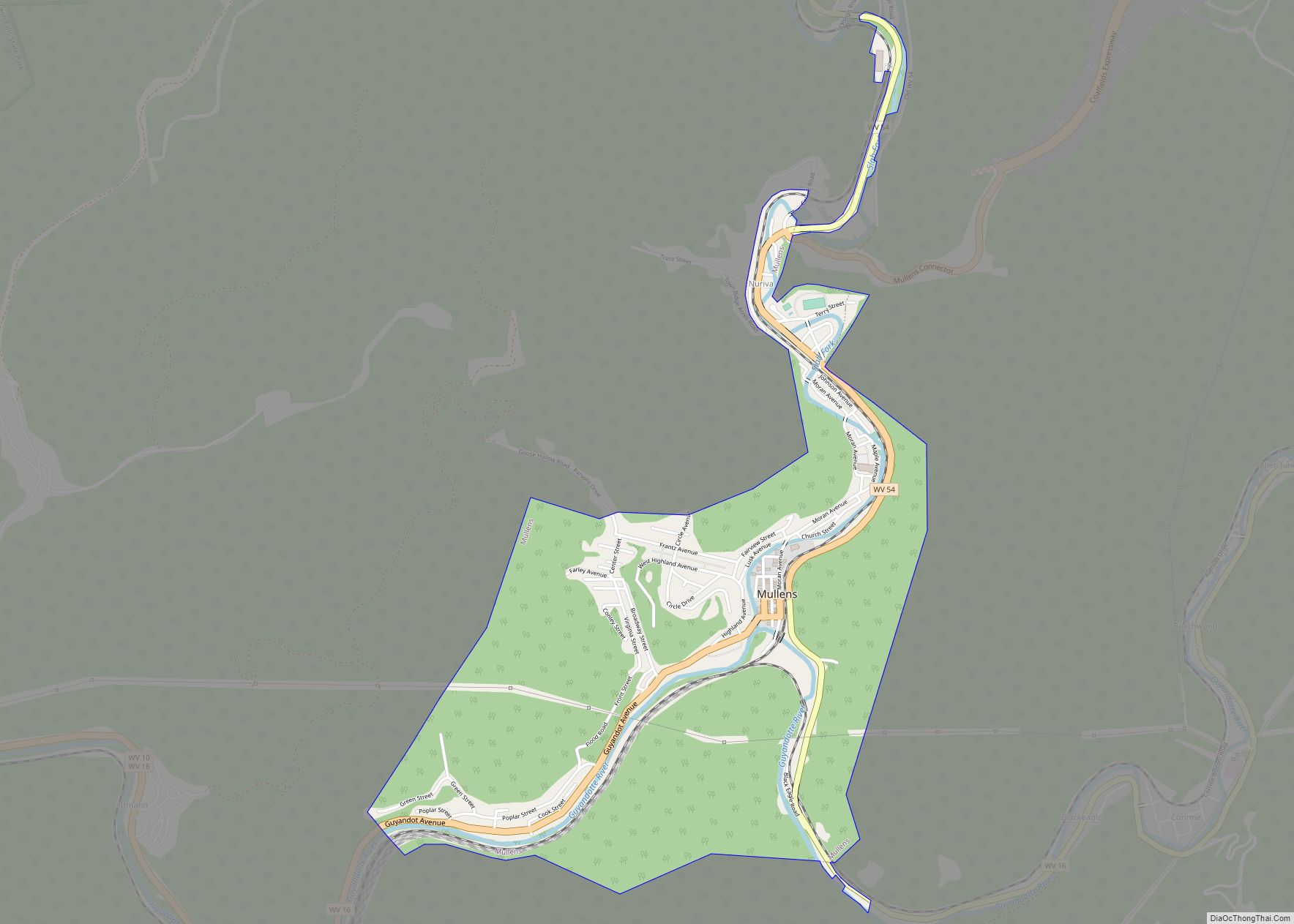
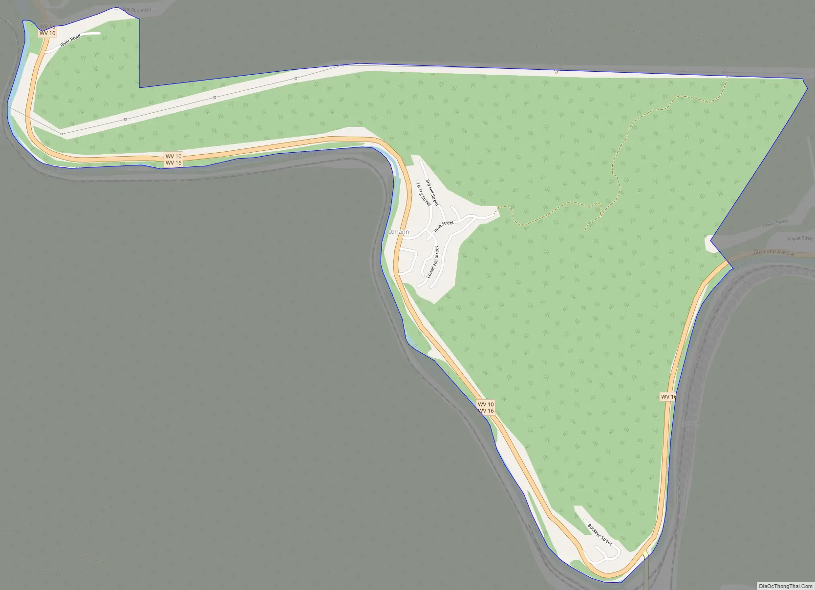
Itmann Road Map
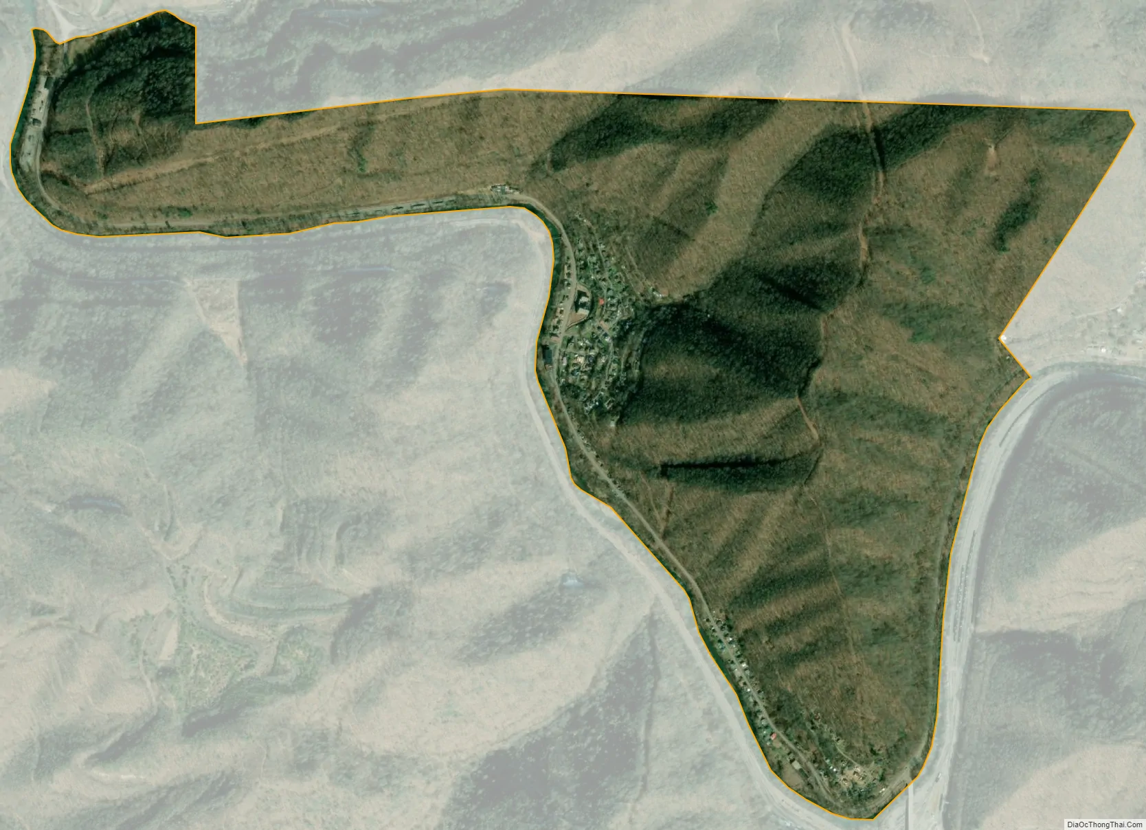
Itmann city Satellite Map
See also
Map of West Virginia State and its subdivision:- Barbour
- Berkeley
- Boone
- Braxton
- Brooke
- Cabell
- Calhoun
- Clay
- Doddridge
- Fayette
- Gilmer
- Grant
- Greenbrier
- Hampshire
- Hancock
- Hardy
- Harrison
- Jackson
- Jefferson
- Kanawha
- Lewis
- Lincoln
- Logan
- Marion
- Marshall
- Mason
- McDowell
- Mercer
- Mineral
- Mingo
- Monongalia
- Monroe
- Morgan
- Nicholas
- Ohio
- Pendleton
- Pleasants
- Pocahontas
- Preston
- Putnam
- Raleigh
- Randolph
- Ritchie
- Roane
- Summers
- Taylor
- Tucker
- Tyler
- Upshur
- Wayne
- Webster
- Wetzel
- Wirt
- Wood
- Wyoming
- Alabama
- Alaska
- Arizona
- Arkansas
- California
- Colorado
- Connecticut
- Delaware
- District of Columbia
- Florida
- Georgia
- Hawaii
- Idaho
- Illinois
- Indiana
- Iowa
- Kansas
- Kentucky
- Louisiana
- Maine
- Maryland
- Massachusetts
- Michigan
- Minnesota
- Mississippi
- Missouri
- Montana
- Nebraska
- Nevada
- New Hampshire
- New Jersey
- New Mexico
- New York
- North Carolina
- North Dakota
- Ohio
- Oklahoma
- Oregon
- Pennsylvania
- Rhode Island
- South Carolina
- South Dakota
- Tennessee
- Texas
- Utah
- Vermont
- Virginia
- Washington
- West Virginia
- Wisconsin
- Wyoming