Pineville is a town in and the county seat of Wyoming County, West Virginia, United States, situated along the Guyandotte River. The population was 648 at the 2020 census.
| Name: | Pineville town |
|---|---|
| LSAD Code: | 43 |
| LSAD Description: | town (suffix) |
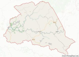
| State: | West Virginia |
| County: | Wyoming County |
| Elevation: | 1,299 ft (396 m) |
| Total Area: | 0.81 sq mi (2.10 km²) |
| Land Area: | 0.77 sq mi (1.99 km²) |
| Water Area: | 0.04 sq mi (0.11 km²) |
| Total Population: | 648 |
| Population Density: | 747.40/sq mi (288.68/km²) |
| ZIP code: | 24859, 24874 |
| Area code: | 304 |
| FIPS code: | 5463940 |
| GNISfeature ID: | 1544914 |
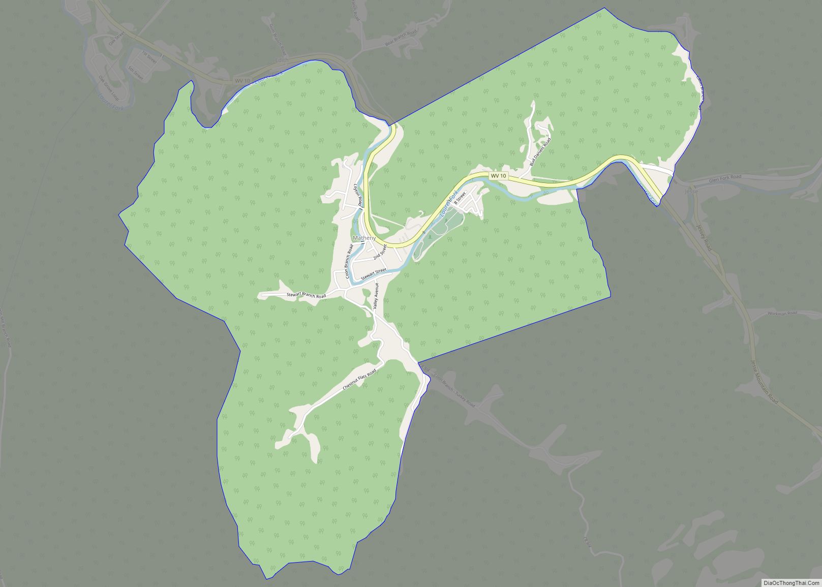
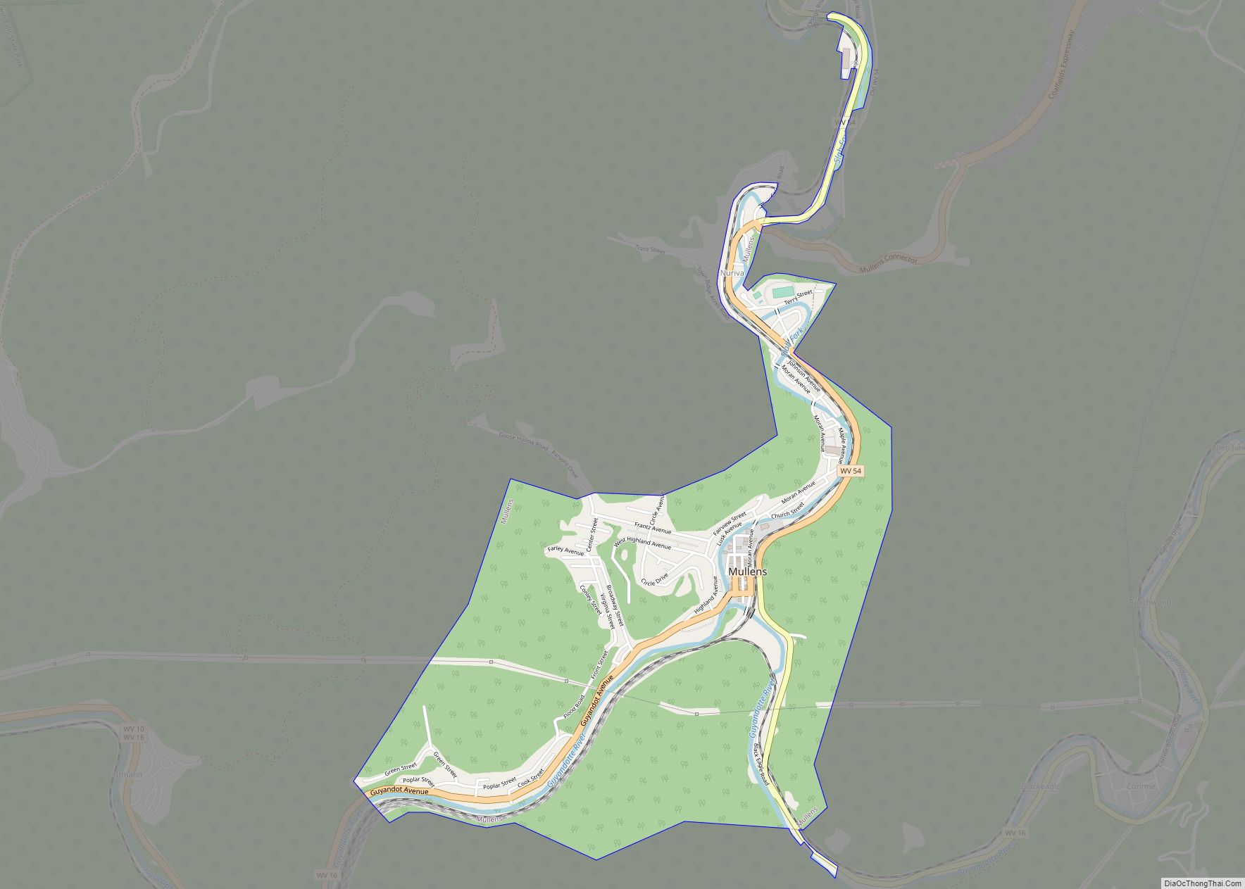
Online Interactive Map
Click on ![]() to view map in "full screen" mode.
to view map in "full screen" mode.
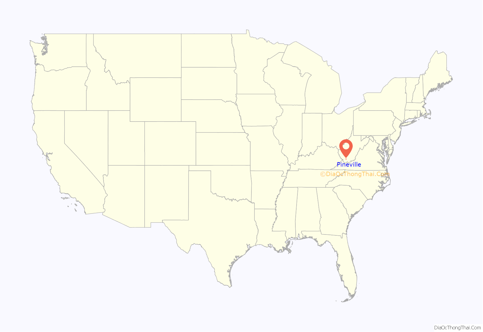
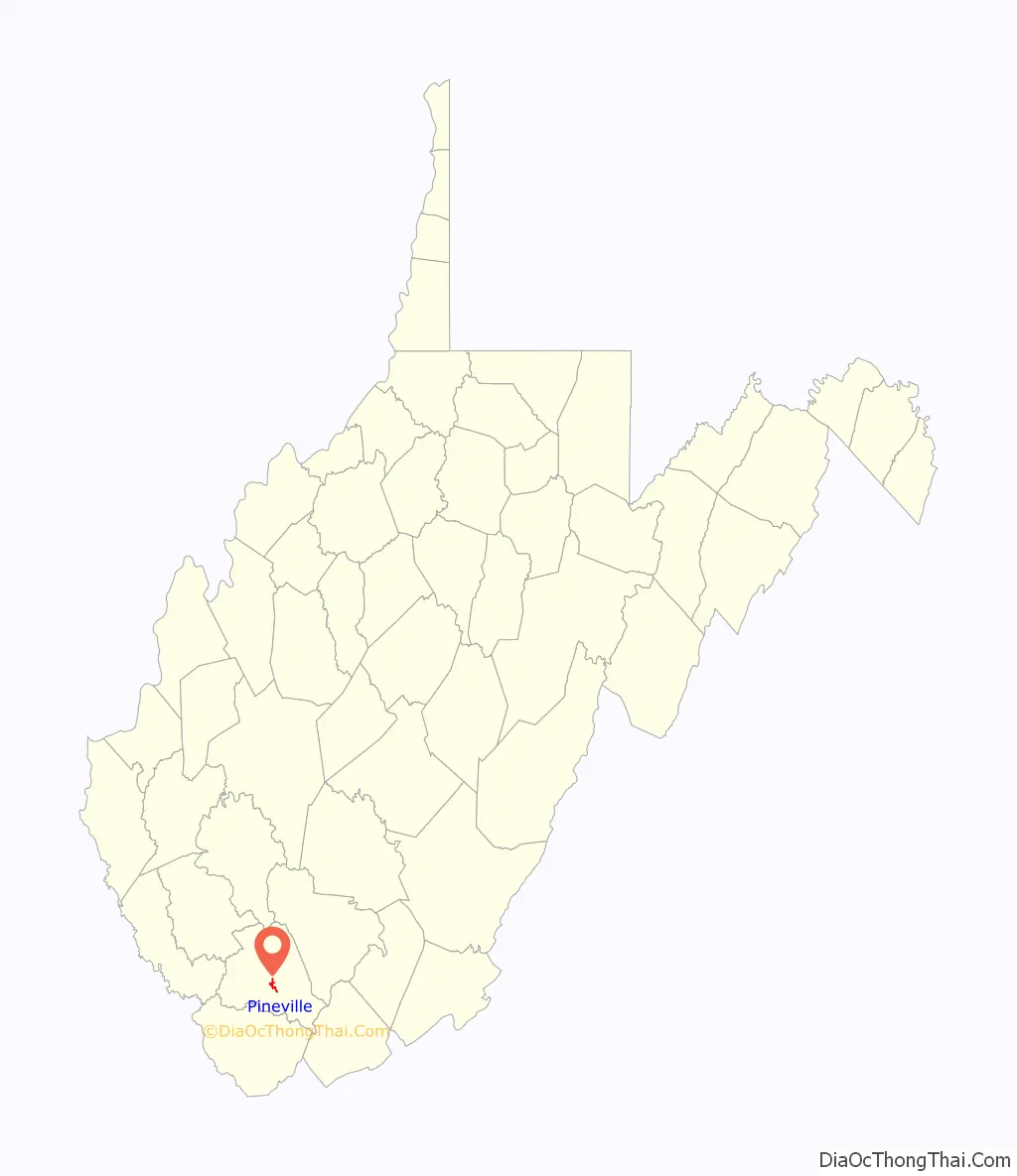
Pineville location map. Where is Pineville town?
History
Pineville was settled by William Short in 1853.
In 1863, Hiram Clay first settled near the site of present Pineville. The community was once called Castlerock, and the post office there was once named Rock Castle. The town was renamed Pineville for the local pine forest and incorporated as a town under that name in 1907. It was named because it was built on the site of a black or pitch pine forest.
Pineville became the county seat in 1907, replacing Oceana after a series of disputed elections. Castle Rock, the towering sandstone formation for which Rockcastle Creek is named, is located at Pineville and is the major local landmark. The Wyoming County Courthouse (1916) is on the National Register of Historic Places.
On April 29, 1960, then Senator John F. Kennedy stopped into Pineville, drawing a crowd of 800. Kennedy spoke briefly over the local radio station WWYO during his time in the town. He then marched with the Pineville High School (West Virginia) band from the radio station to the Wyoming County Courthouse where he spoke to the crowd.
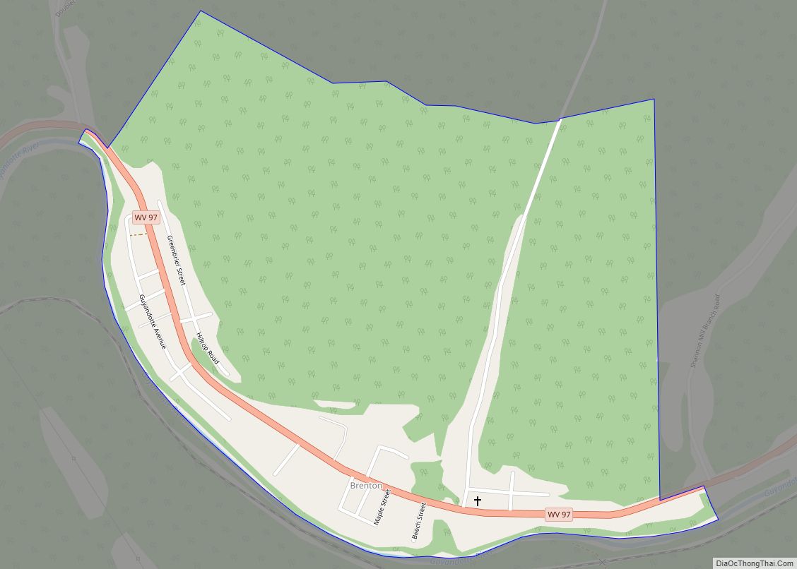
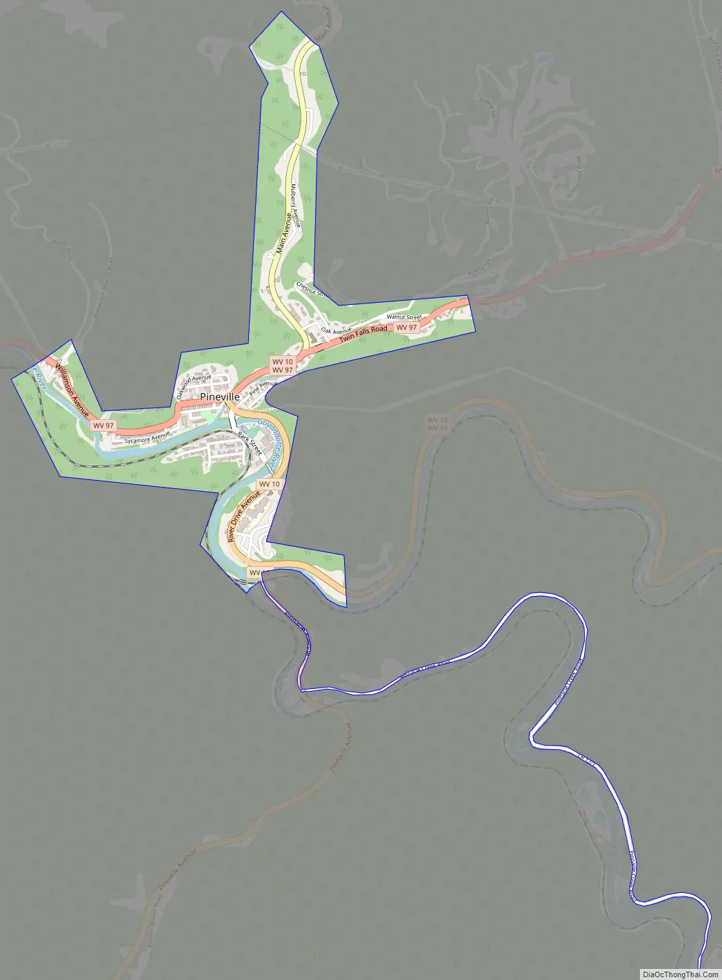
Pineville Road Map
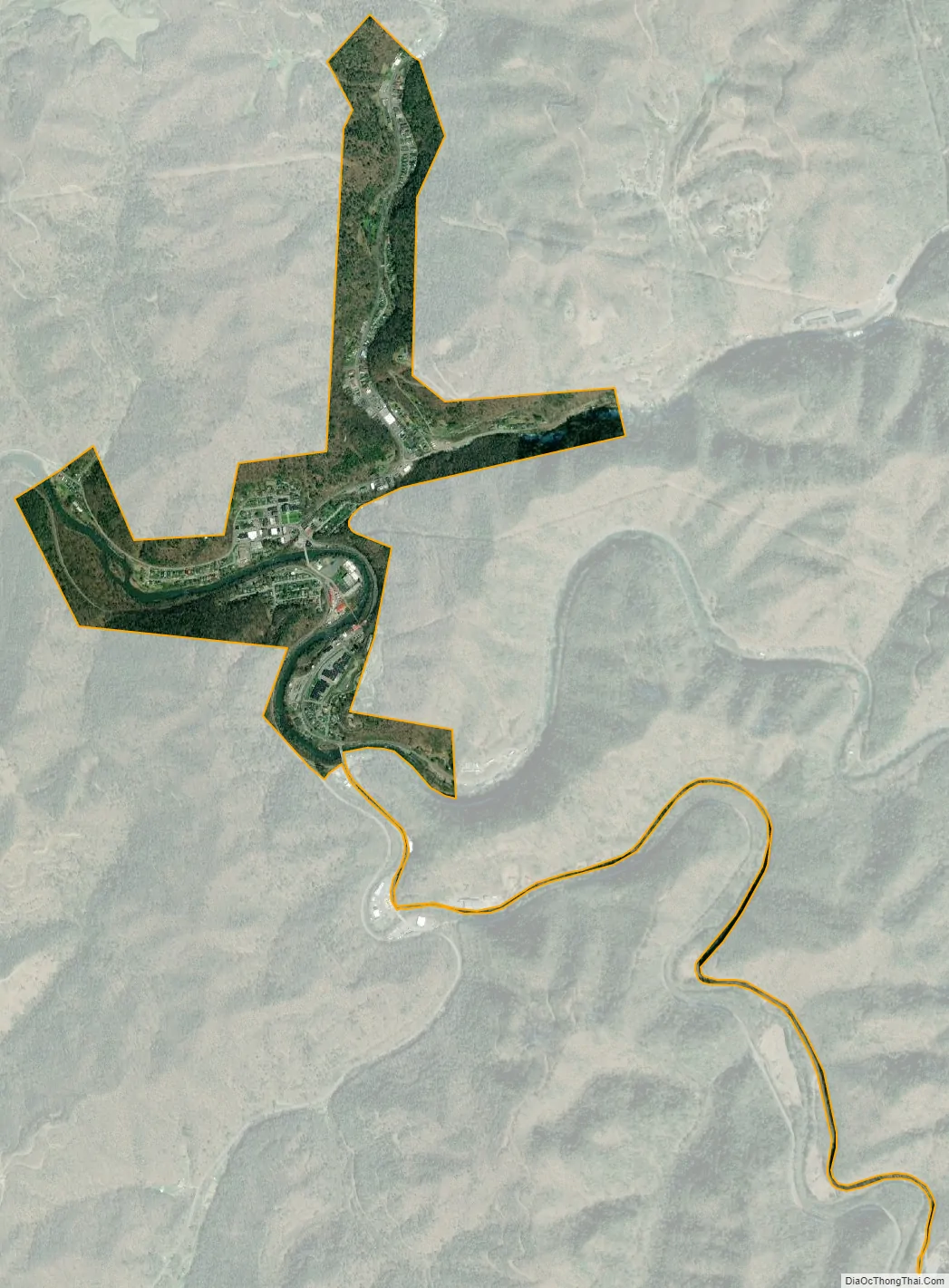
Pineville city Satellite Map
Geography
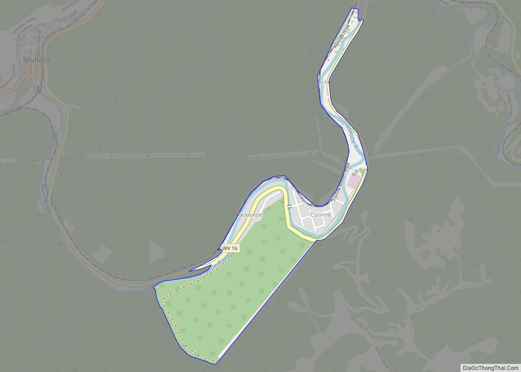
Pineville is located at 37°34′59″N 81°32′7″W / 37.58306°N 81.53528°W / 37.58306; -81.53528 (37.582925, −81.535302). The Guyandotte River flows through Pineville, and collects its tributaries Rockcastle Creek and Pinnacle Creek within the town.
According to the United States Census Bureau, the town has a total area of 0.84 square miles (2.18 km), of which 0.80 square miles (2.07 km) is land and 0.04 square miles (0.10 km) is water.
Many subdivisions or outer areas are considered part of Pineville, including Key Rock, New Richmond, Skin Fork, Mullensville, Glover, Wolf Pen, Rock View, and others, but the town limits are much smaller than the area considered part of Pineville. Unique in the county school system, Pineville’s secondary school had no feeder schools. Only after the county’s population declined sharply in the 1990s did consolidation and closure of the Glen Rogers High School cause students who attended elementary school outside of Pineville to attend middle or high school in Pineville. Further consolidation ended the town’s high school, which was consolidated with Mullens High School to form Wyoming East High School. Students from the catchment areas of the former Herndon, Glen Rogers, Mullens, and Pineville High Schools attend this high school.
See also
Map of West Virginia State and its subdivision:- Barbour
- Berkeley
- Boone
- Braxton
- Brooke
- Cabell
- Calhoun
- Clay
- Doddridge
- Fayette
- Gilmer
- Grant
- Greenbrier
- Hampshire
- Hancock
- Hardy
- Harrison
- Jackson
- Jefferson
- Kanawha
- Lewis
- Lincoln
- Logan
- Marion
- Marshall
- Mason
- McDowell
- Mercer
- Mineral
- Mingo
- Monongalia
- Monroe
- Morgan
- Nicholas
- Ohio
- Pendleton
- Pleasants
- Pocahontas
- Preston
- Putnam
- Raleigh
- Randolph
- Ritchie
- Roane
- Summers
- Taylor
- Tucker
- Tyler
- Upshur
- Wayne
- Webster
- Wetzel
- Wirt
- Wood
- Wyoming
- Alabama
- Alaska
- Arizona
- Arkansas
- California
- Colorado
- Connecticut
- Delaware
- District of Columbia
- Florida
- Georgia
- Hawaii
- Idaho
- Illinois
- Indiana
- Iowa
- Kansas
- Kentucky
- Louisiana
- Maine
- Maryland
- Massachusetts
- Michigan
- Minnesota
- Mississippi
- Missouri
- Montana
- Nebraska
- Nevada
- New Hampshire
- New Jersey
- New Mexico
- New York
- North Carolina
- North Dakota
- Ohio
- Oklahoma
- Oregon
- Pennsylvania
- Rhode Island
- South Carolina
- South Dakota
- Tennessee
- Texas
- Utah
- Vermont
- Virginia
- Washington
- West Virginia
- Wisconsin
- Wyoming