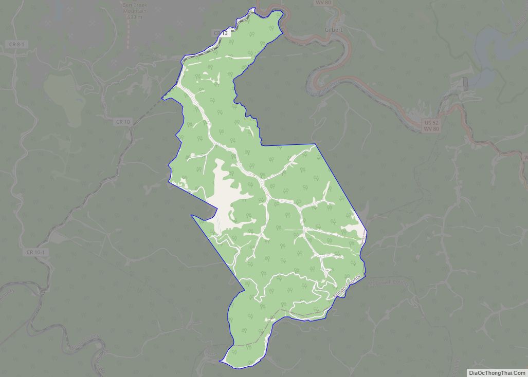
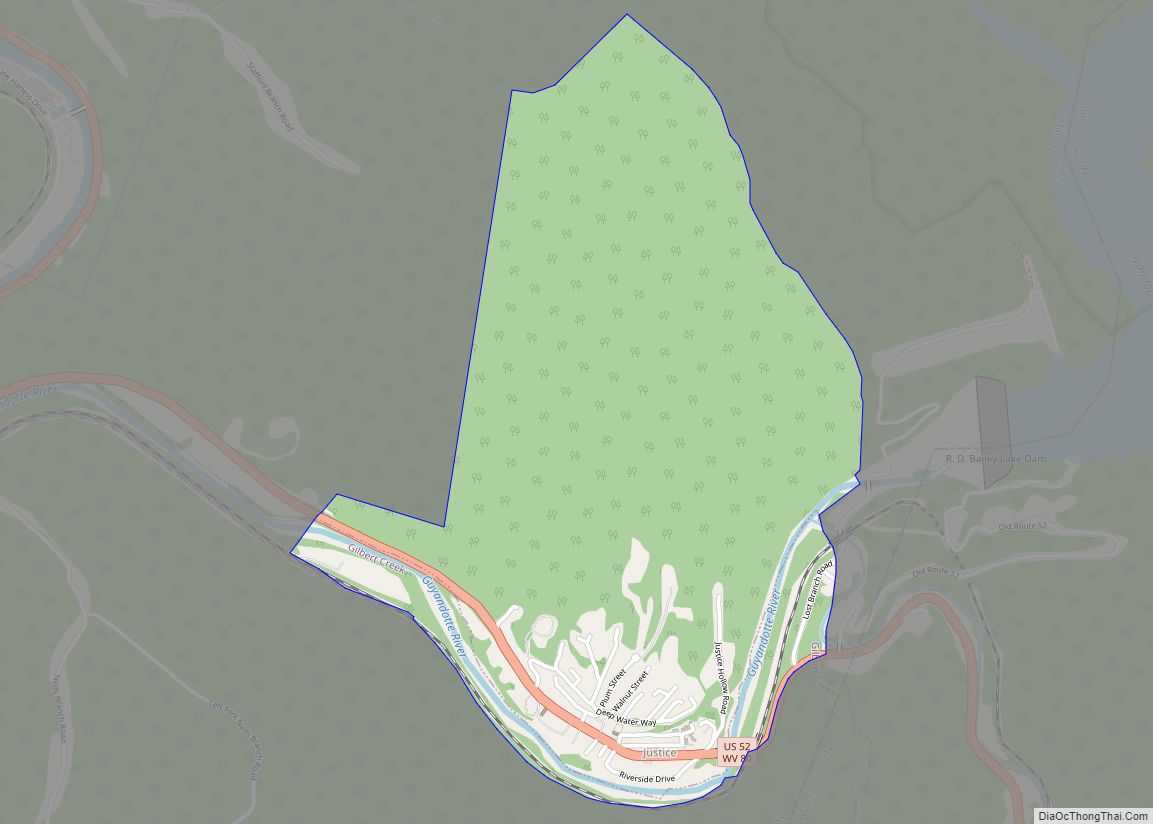
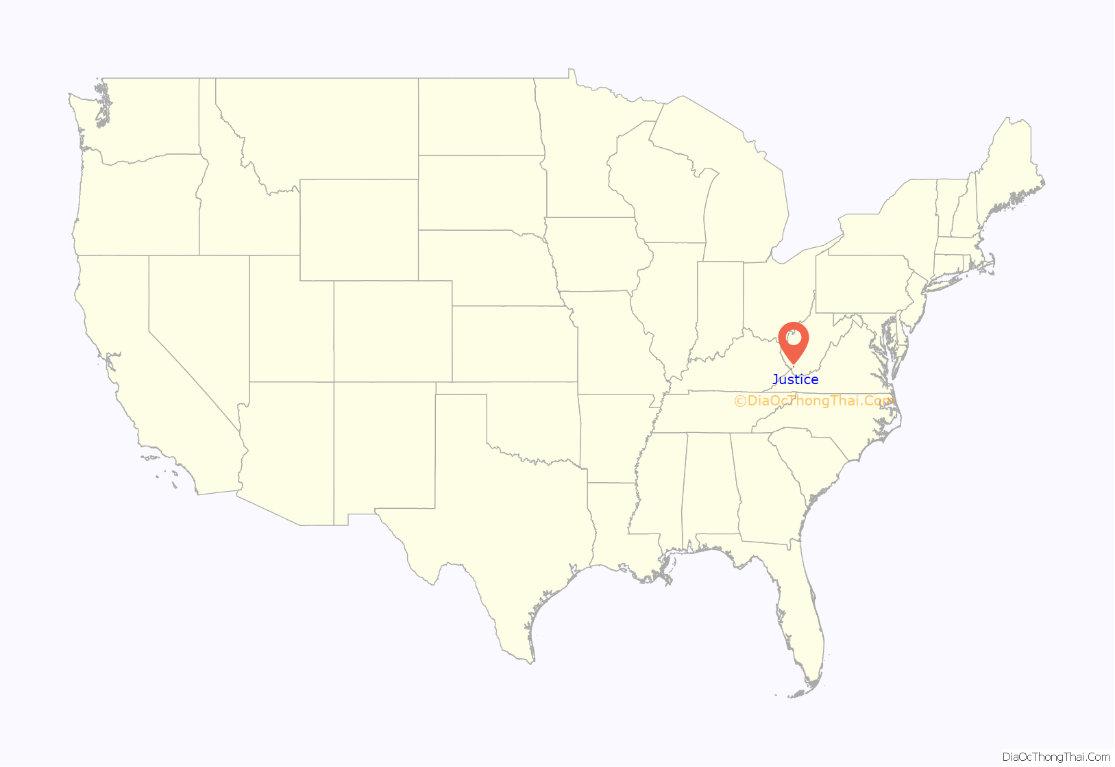
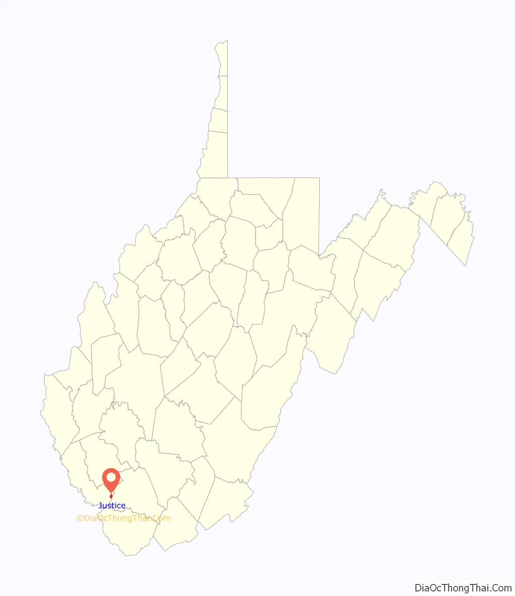
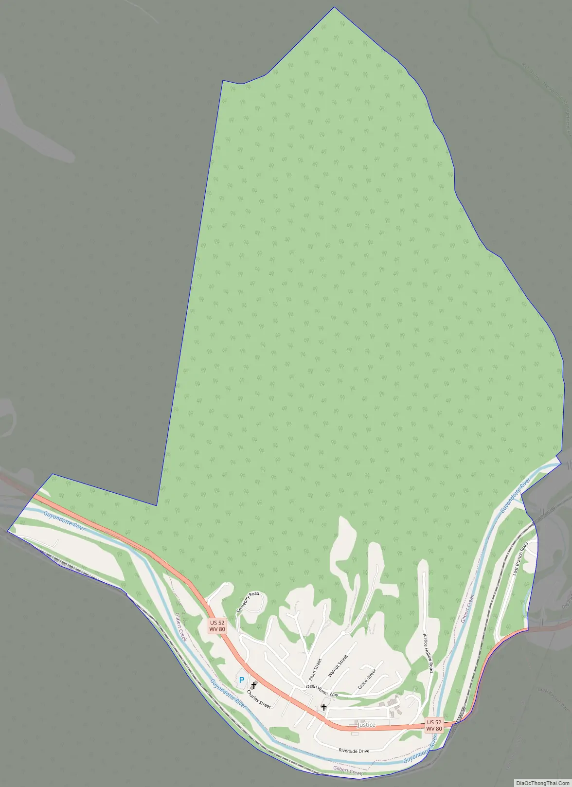
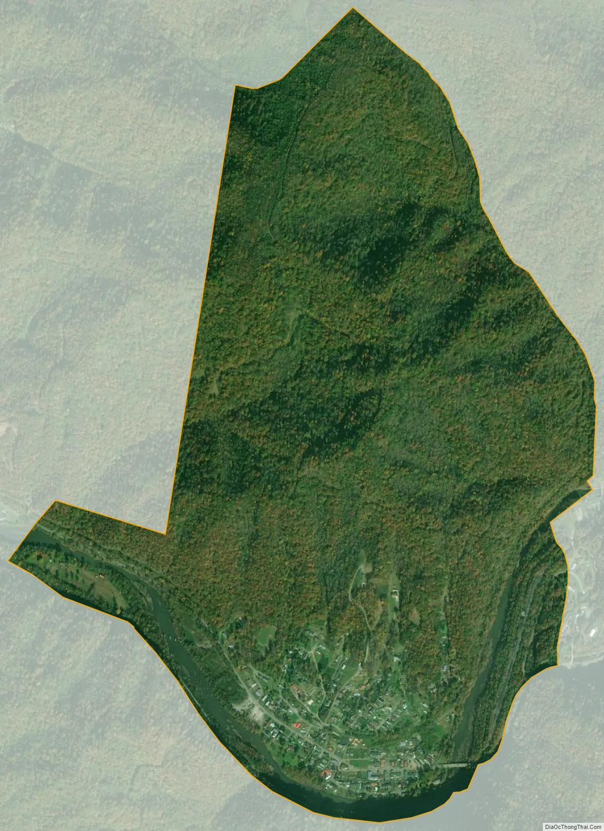
Justice is a census-designated place in Mingo County, West Virginia, United States. Justice is located on U.S. Route 52, 2.5 miles (4.0 km) southeast of Gilbert. Justice has a post office with ZIP code 24851. As of the 2010 census, its population was 412.
The community was named after W. E. Justice, an early postmaster.
| Name: | Justice CDP |
|---|---|
| LSAD Code: | 57 |
| LSAD Description: | CDP (suffix) |
| State: | West Virginia |
| County: | Mingo County |
| Elevation: | 892 ft (272 m) |
| Total Area: | 1.378 sq mi (3.57 km²) |
| Land Area: | 1.320 sq mi (3.42 km²) |
| Water Area: | 0.058 sq mi (0.15 km²) |
| Total Population: | 412 |
| Population Density: | 300/sq mi (120/km²) |
| ZIP code: | 24851 |
| Area code: | 304 & 681 |
| FIPS code: | 5442292 |
| GNISfeature ID: | 1541047 |
Online Interactive Map
Click on ![]() to view map in "full screen" mode.
to view map in "full screen" mode.
Justice location map. Where is Justice CDP?
Justice Road Map
Justice city Satellite Map
See also
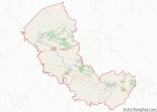
Map of West Virginia State and its subdivision:- Barbour
- Berkeley
- Boone
- Braxton
- Brooke
- Cabell
- Calhoun
- Clay
- Doddridge
- Fayette
- Gilmer
- Grant
- Greenbrier
- Hampshire
- Hancock
- Hardy
- Harrison
- Jackson
- Jefferson
- Kanawha
- Lewis
- Lincoln
- Logan
- Marion
- Marshall
- Mason
- McDowell
- Mercer
- Mineral
- Mingo
- Monongalia
- Monroe
- Morgan
- Nicholas
- Ohio
- Pendleton
- Pleasants
- Pocahontas
- Preston
- Putnam
- Raleigh
- Randolph
- Ritchie
- Roane
- Summers
- Taylor
- Tucker
- Tyler
- Upshur
- Wayne
- Webster
- Wetzel
- Wirt
- Wood
- Wyoming
- Alabama
- Alaska
- Arizona
- Arkansas
- California
- Colorado
- Connecticut
- Delaware
- District of Columbia
- Florida
- Georgia
- Hawaii
- Idaho
- Illinois
- Indiana
- Iowa
- Kansas
- Kentucky
- Louisiana
- Maine
- Maryland
- Massachusetts
- Michigan
- Minnesota
- Mississippi
- Missouri
- Montana
- Nebraska
- Nevada
- New Hampshire
- New Jersey
- New Mexico
- New York
- North Carolina
- North Dakota
- Ohio
- Oklahoma
- Oregon
- Pennsylvania
- Rhode Island
- South Carolina
- South Dakota
- Tennessee
- Texas
- Utah
- Vermont
- Virginia
- Washington
- West Virginia
- Wisconsin
- Wyoming