Kistler is an unincorporated community and census-designated place (CDP) in Logan County, West Virginia, United States. As of the 2010 census, its population was 528.
| Name: | Kistler CDP |
|---|---|
| LSAD Code: | 57 |
| LSAD Description: | CDP (suffix) |
| State: | West Virginia |
| County: | Logan County |
| Elevation: | 774 ft (236 m) |
| Total Area: | 1.494 sq mi (3.87 km²) |
| Land Area: | 1.486 sq mi (3.85 km²) |
| Water Area: | 0.008 sq mi (0.02 km²) |
| Total Population: | 528 |
| Population Density: | 355.3/sq mi (137.2/km²) |
| ZIP code: | 25628 |
| Area code: | 304 & 681 |
| FIPS code: | 5444188 |
| GNISfeature ID: | 1541251 |
Online Interactive Map
Click on ![]() to view map in "full screen" mode.
to view map in "full screen" mode.
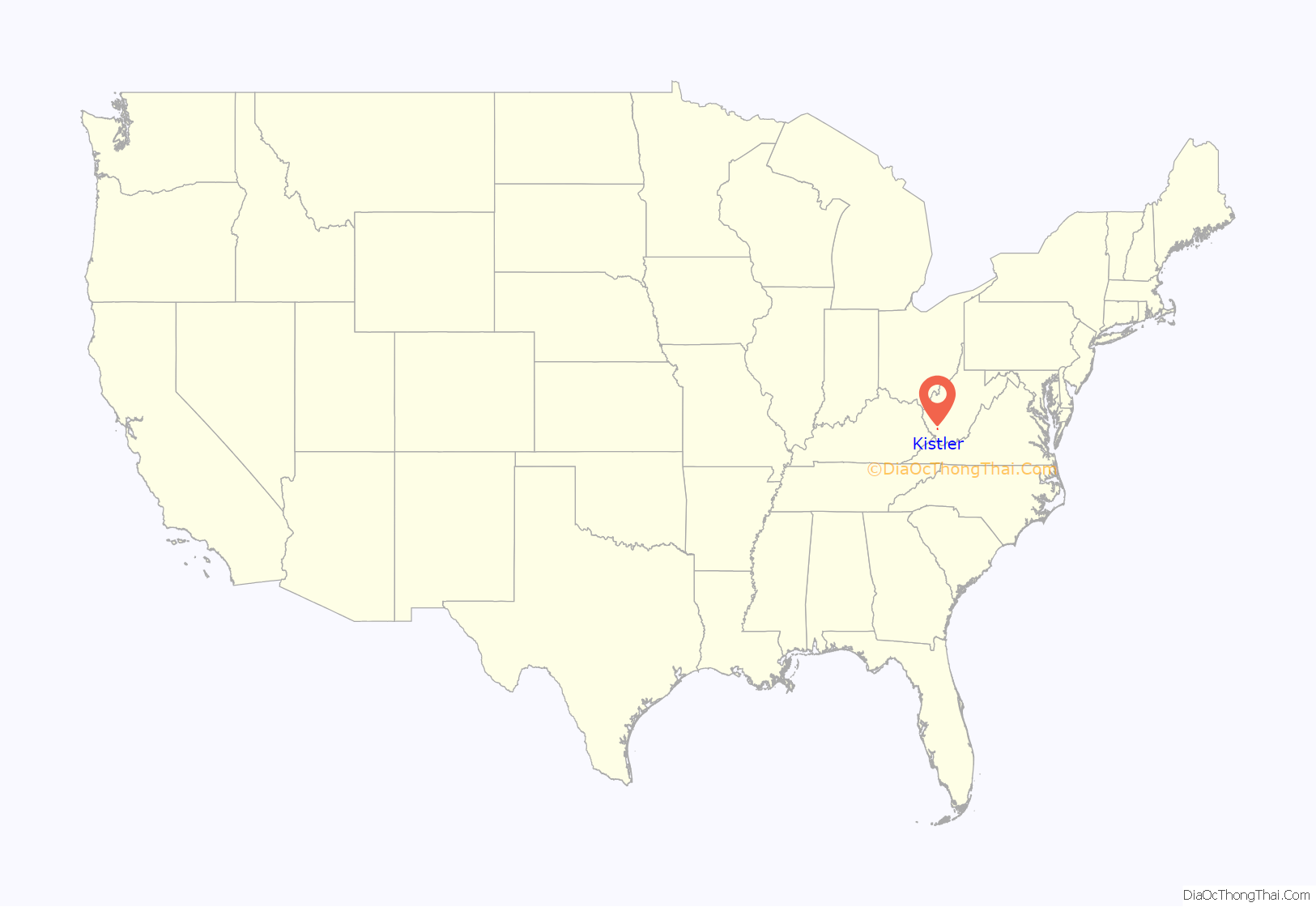
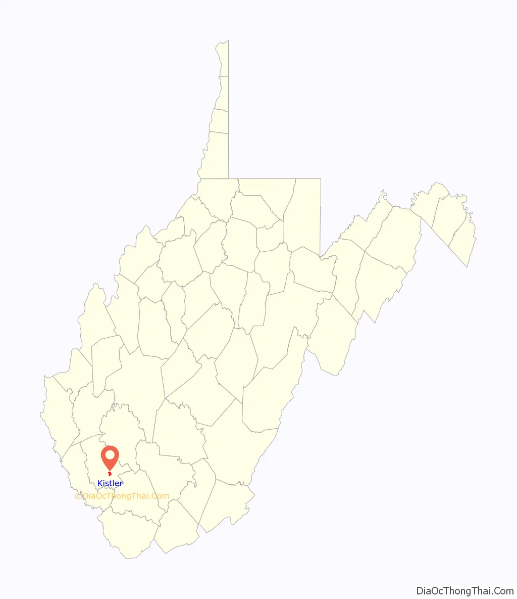
Kistler location map. Where is Kistler CDP?
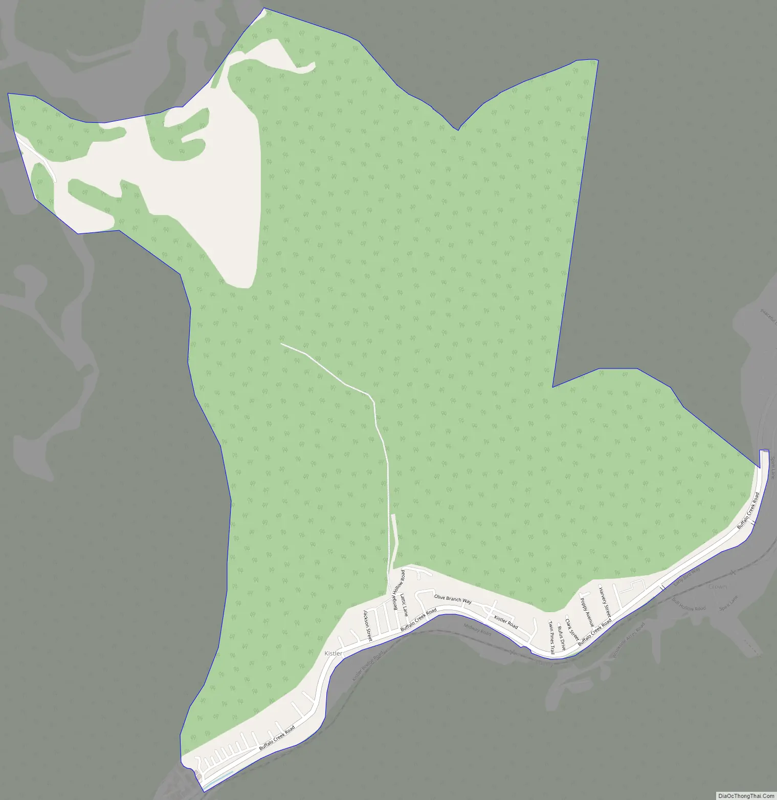
Kistler Road Map
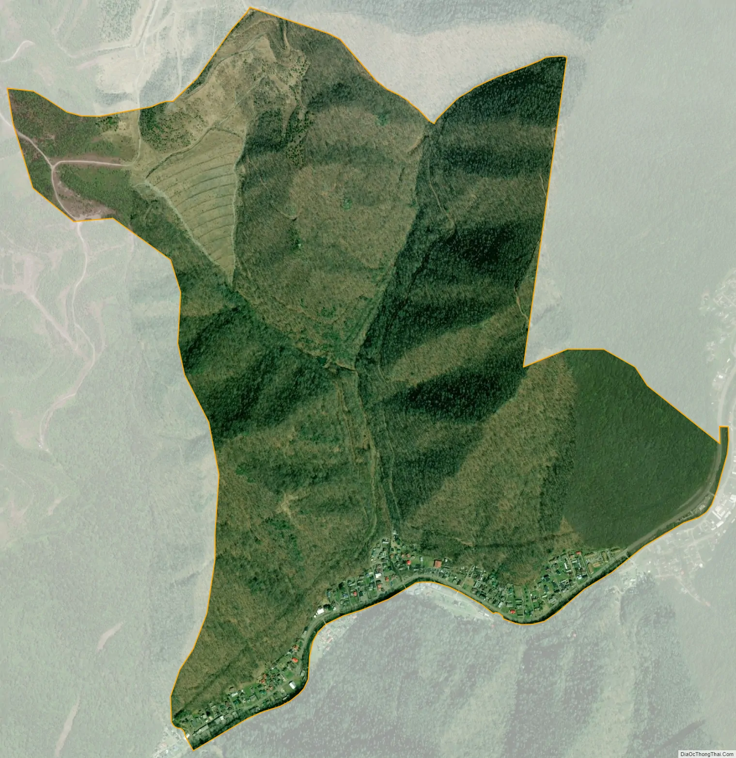
Kistler city Satellite Map
Geography
Kistler is in southern Logan County, 1.5 miles (2.4 km) northeast of Man, along Buffalo Creek. It is bordered to the northeast (upstream) by Accoville.
According to the U.S. Census Bureau, the Kistler CDP has a total area of 1.494 square miles (3.87 km), of which 1.486 square miles (3.85 km) are land and 0.008 square miles (0.021 km), or 0.54%, are water. The community was affected by the Buffalo Creek flood in 1972.
See also
Map of West Virginia State and its subdivision:- Barbour
- Berkeley
- Boone
- Braxton
- Brooke
- Cabell
- Calhoun
- Clay
- Doddridge
- Fayette
- Gilmer
- Grant
- Greenbrier
- Hampshire
- Hancock
- Hardy
- Harrison
- Jackson
- Jefferson
- Kanawha
- Lewis
- Lincoln
- Logan
- Marion
- Marshall
- Mason
- McDowell
- Mercer
- Mineral
- Mingo
- Monongalia
- Monroe
- Morgan
- Nicholas
- Ohio
- Pendleton
- Pleasants
- Pocahontas
- Preston
- Putnam
- Raleigh
- Randolph
- Ritchie
- Roane
- Summers
- Taylor
- Tucker
- Tyler
- Upshur
- Wayne
- Webster
- Wetzel
- Wirt
- Wood
- Wyoming
- Alabama
- Alaska
- Arizona
- Arkansas
- California
- Colorado
- Connecticut
- Delaware
- District of Columbia
- Florida
- Georgia
- Hawaii
- Idaho
- Illinois
- Indiana
- Iowa
- Kansas
- Kentucky
- Louisiana
- Maine
- Maryland
- Massachusetts
- Michigan
- Minnesota
- Mississippi
- Missouri
- Montana
- Nebraska
- Nevada
- New Hampshire
- New Jersey
- New Mexico
- New York
- North Carolina
- North Dakota
- Ohio
- Oklahoma
- Oregon
- Pennsylvania
- Rhode Island
- South Carolina
- South Dakota
- Tennessee
- Texas
- Utah
- Vermont
- Virginia
- Washington
- West Virginia
- Wisconsin
- Wyoming


