Meadow Bridge is a town in Fayette County, West Virginia, United States. The population was 379 at the 2010 census. The first settler of the area was John Gwin, closely followed by Dan Griffin.
The community took its name from a nearby bridge over Meadow Creek.
| Name: | Meadow Bridge town |
|---|---|
| LSAD Code: | 43 |
| LSAD Description: | town (suffix) |
| State: | West Virginia |
| County: | Fayette County |
| Elevation: | 2,431 ft (741 m) |
| Total Area: | 0.41 sq mi (1.05 km²) |
| Land Area: | 0.41 sq mi (1.05 km²) |
| Water Area: | 0.00 sq mi (0.00 km²) |
| Total Population: | 379 |
| Population Density: | 852.22/sq mi (329.16/km²) |
| ZIP code: | 25976 |
| Area code: | 304 |
| FIPS code: | 5452780 |
| GNISfeature ID: | 1543055 |
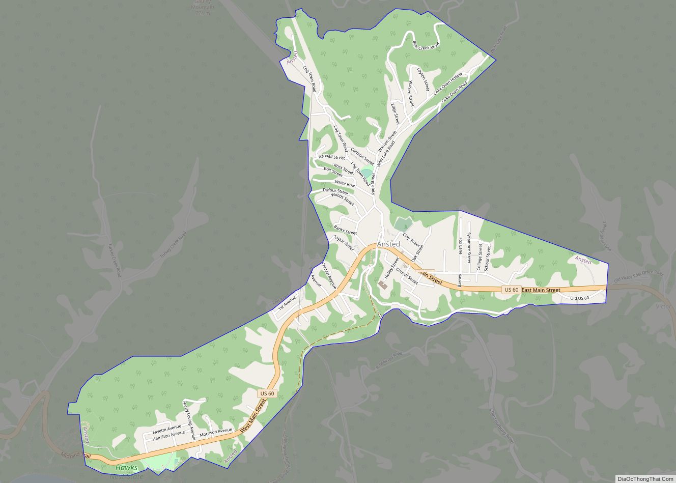
Online Interactive Map
Click on ![]() to view map in "full screen" mode.
to view map in "full screen" mode.
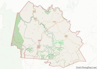
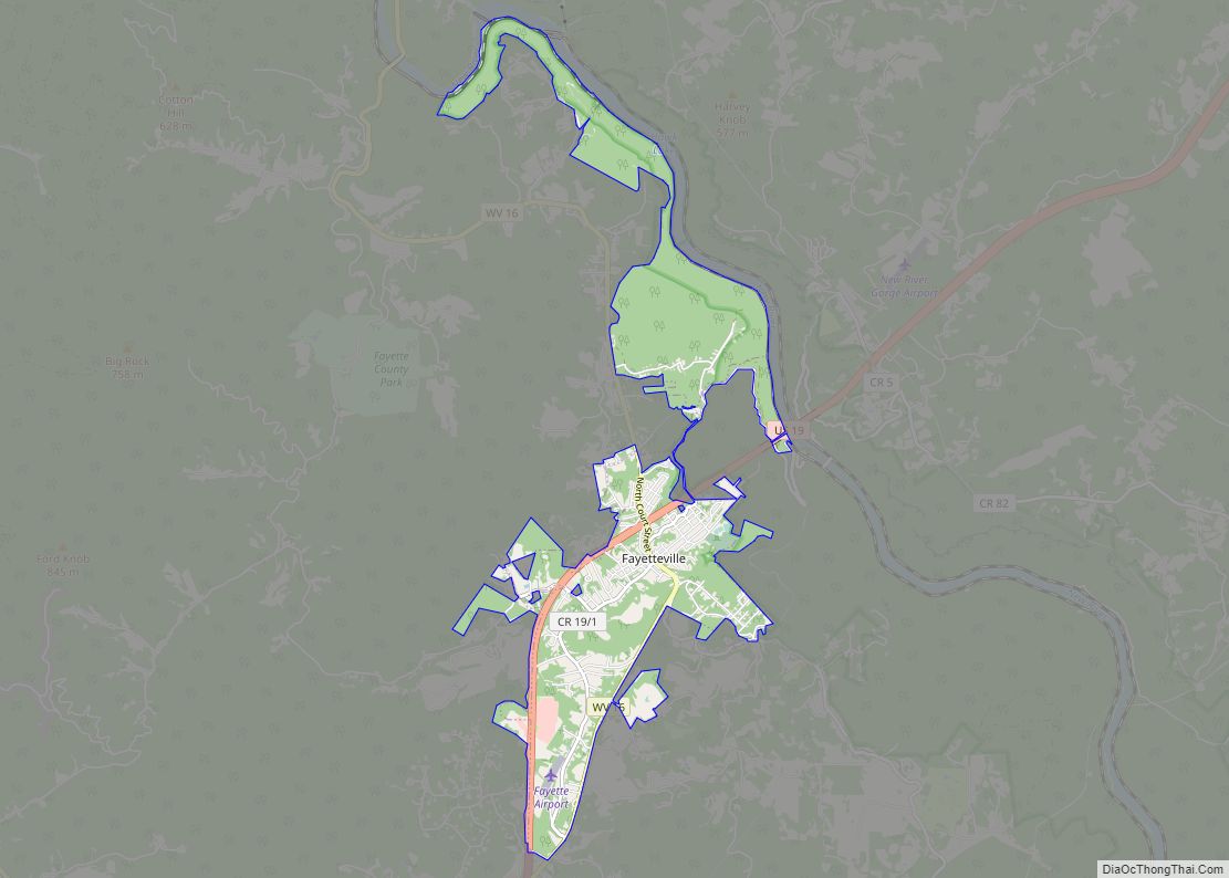
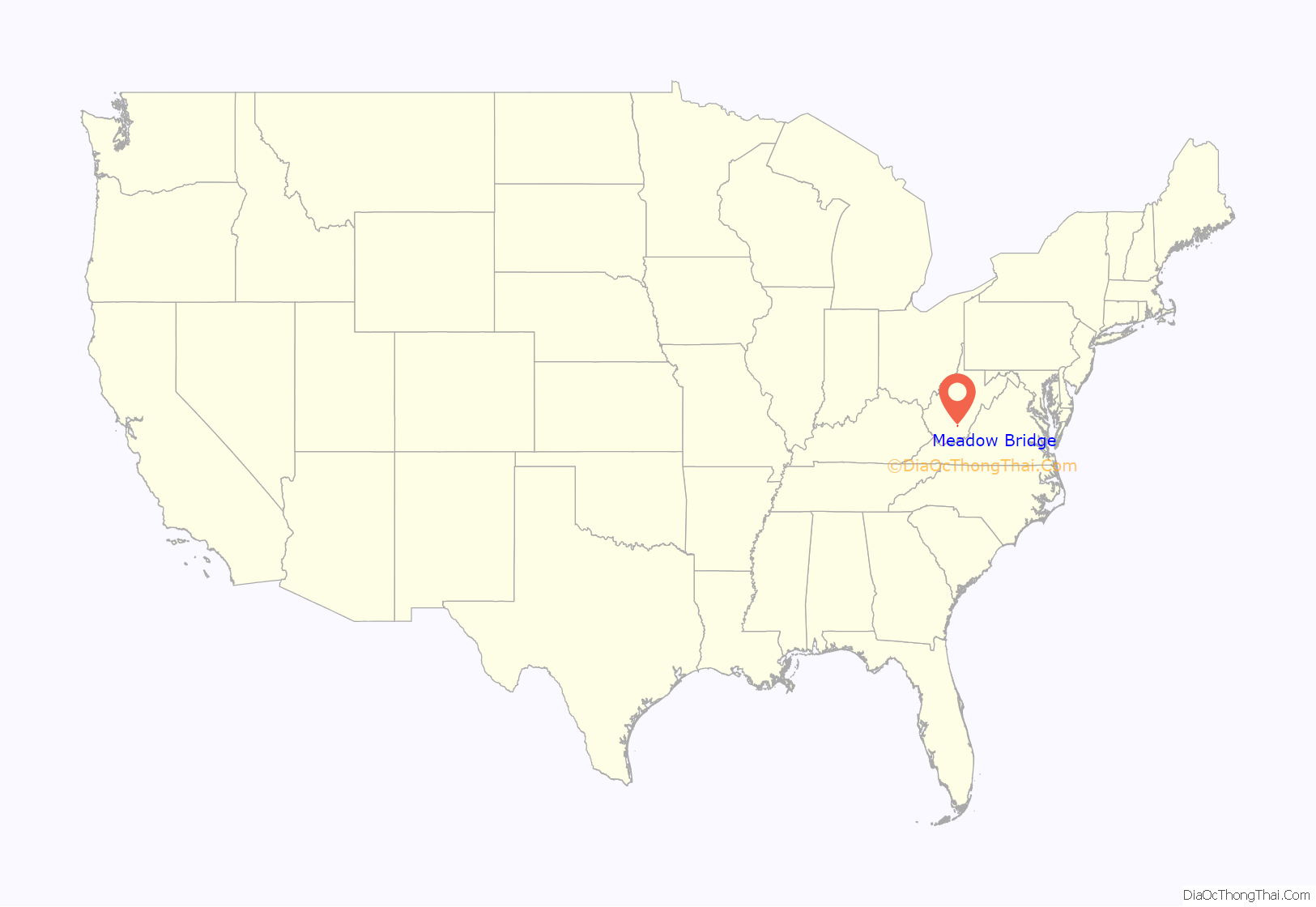
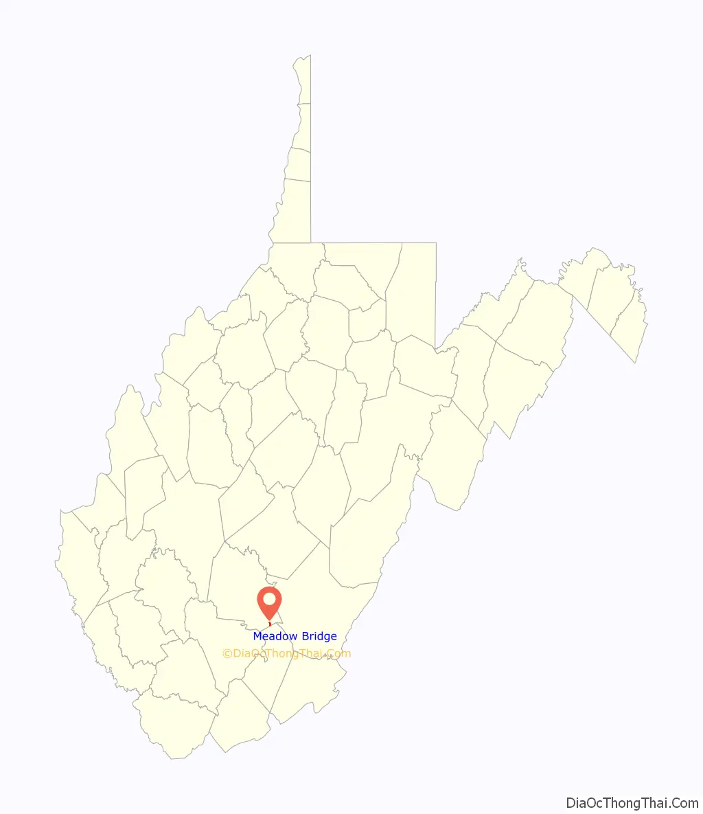
Meadow Bridge location map. Where is Meadow Bridge town?
History
Sometime in 1890, the first Meadow Bridge post office was established, and gave the area the name of Montrode. This was later changed to Clute, after the Virginia lumberman Theodore Clute, who came with the railroad to establish a sawmill in the area. With the help of the Meadow River Lumber company, and Theodore Clute, millions of feet of lumber were cut, and soon a town sprang up with shops and houses.
With industry in Meadow Bridge, on July 26, 1920, it was incorporated into an official town. Although industry came to the small town of Meadow Bridge, progress was slow and arduous. After several years of hard fighting, in 1924, they finally were able to bring a high school to the town, Meadow Bridge High School.
Part of their troubles was the fact that they were isolated from the rest of Fayette County. That changed in 1937, when a seven-mile stretch of road was hard-surfaced, linking Meadow Bridge and the nearby town of Danese. In 1938, a road linking the town of Hinton and Rainelle ran through Meadow Bridge, linking all the towns together and, by extension, to Route 41. This finally gave Meadow Bridge a path to the western part of Fayette County.
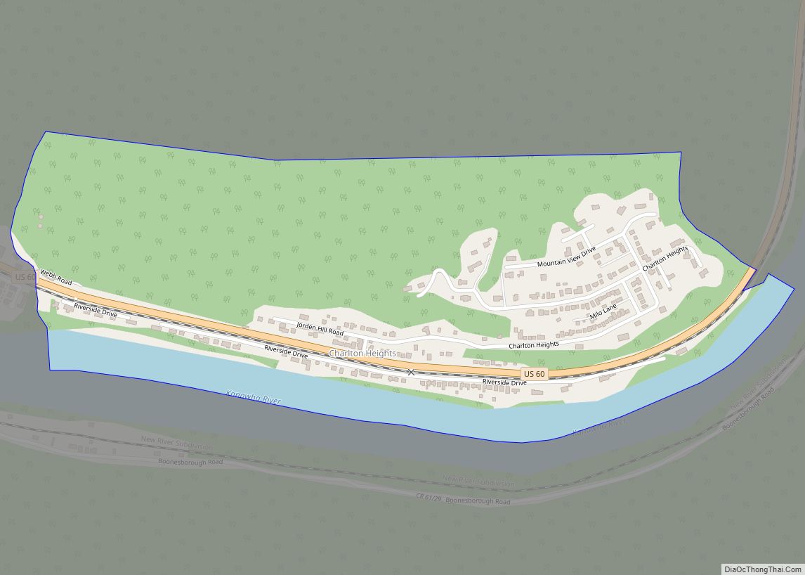
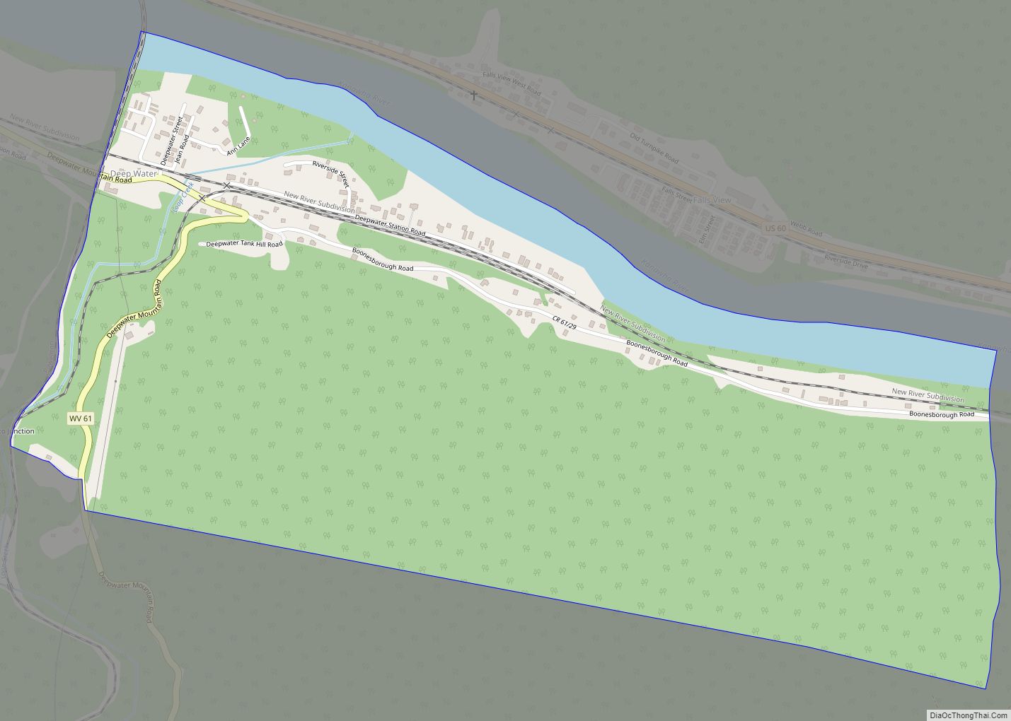
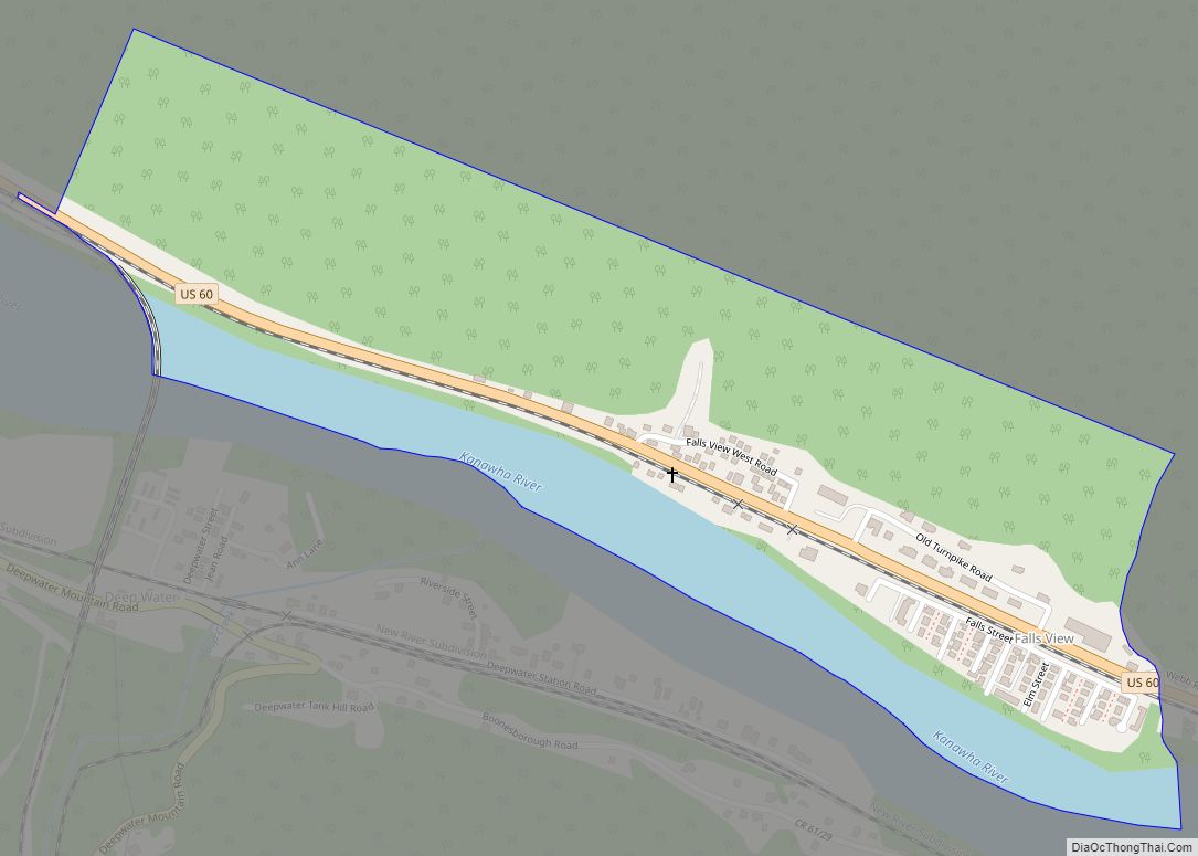
Meadow Bridge Road Map
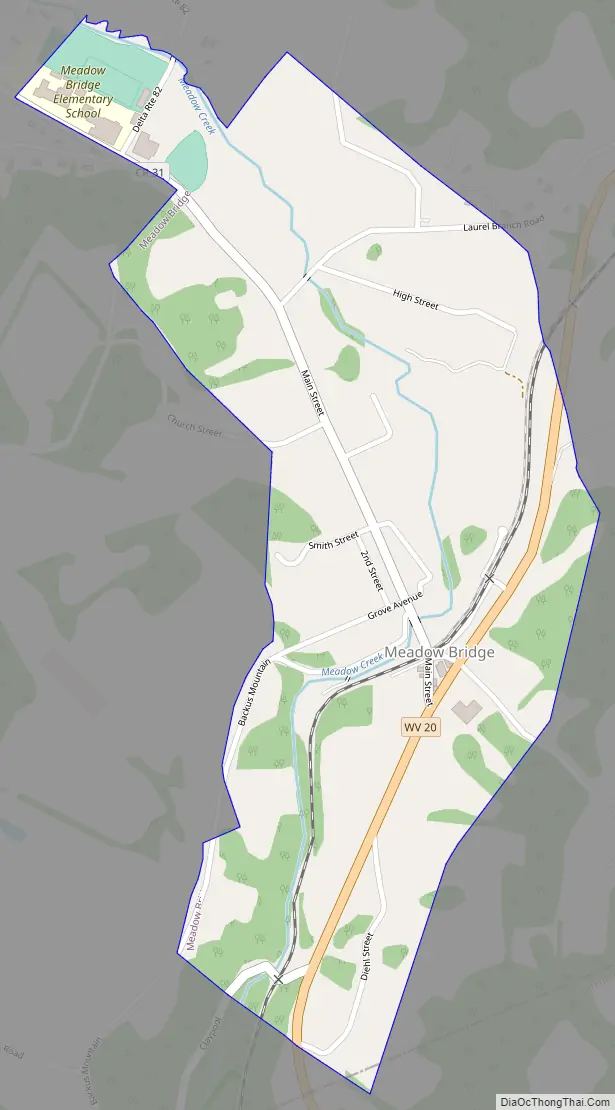
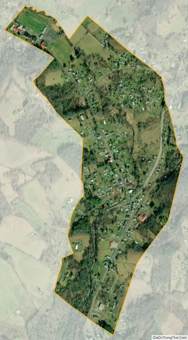
Meadow Bridge city Satellite Map
Geography
Meadow Bridge is located at 37°51′45″N 80°51′19″W / 37.86250°N 80.85528°W / 37.86250; -80.85528 (37.862399, -80.855169).
According to the United States Census Bureau, the town has a total area of 0.41 square miles (1.06 km), all land.
See also
Map of West Virginia State and its subdivision:- Barbour
- Berkeley
- Boone
- Braxton
- Brooke
- Cabell
- Calhoun
- Clay
- Doddridge
- Fayette
- Gilmer
- Grant
- Greenbrier
- Hampshire
- Hancock
- Hardy
- Harrison
- Jackson
- Jefferson
- Kanawha
- Lewis
- Lincoln
- Logan
- Marion
- Marshall
- Mason
- McDowell
- Mercer
- Mineral
- Mingo
- Monongalia
- Monroe
- Morgan
- Nicholas
- Ohio
- Pendleton
- Pleasants
- Pocahontas
- Preston
- Putnam
- Raleigh
- Randolph
- Ritchie
- Roane
- Summers
- Taylor
- Tucker
- Tyler
- Upshur
- Wayne
- Webster
- Wetzel
- Wirt
- Wood
- Wyoming
- Alabama
- Alaska
- Arizona
- Arkansas
- California
- Colorado
- Connecticut
- Delaware
- District of Columbia
- Florida
- Georgia
- Hawaii
- Idaho
- Illinois
- Indiana
- Iowa
- Kansas
- Kentucky
- Louisiana
- Maine
- Maryland
- Massachusetts
- Michigan
- Minnesota
- Mississippi
- Missouri
- Montana
- Nebraska
- Nevada
- New Hampshire
- New Jersey
- New Mexico
- New York
- North Carolina
- North Dakota
- Ohio
- Oklahoma
- Oregon
- Pennsylvania
- Rhode Island
- South Carolina
- South Dakota
- Tennessee
- Texas
- Utah
- Vermont
- Virginia
- Washington
- West Virginia
- Wisconsin
- Wyoming