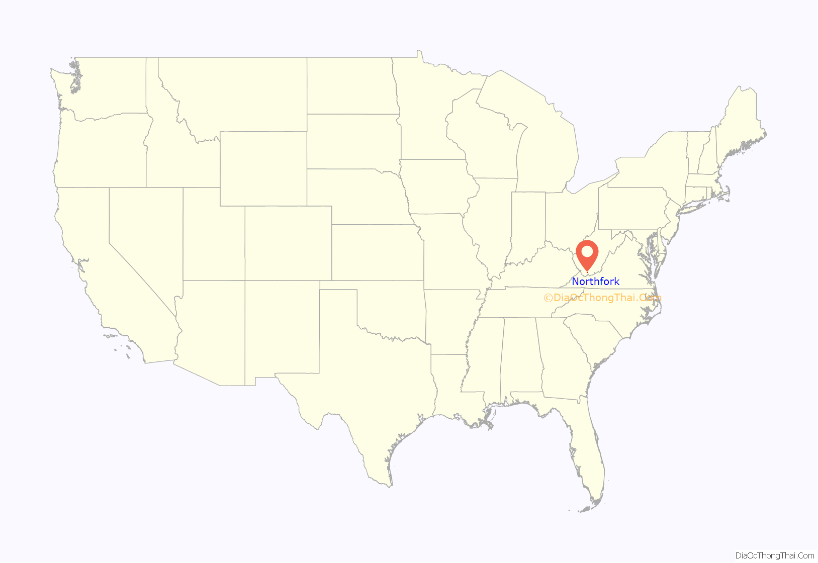
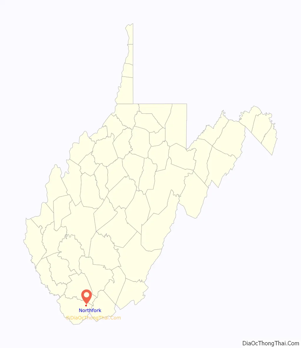
Northfork is a town in McDowell County, West Virginia, United States, located on U.S. Route 52 between Welch and Bluefield.
The population was 231 at the 2020 census. Northfork was incorporated in 1901, so named because of its location on the north fork of the Elkhorn Creek at its junction with the south fork. It was consolidated with the town of Clark on March 26, 1948.
| Name: | Northfork town |
|---|---|
| LSAD Code: | 43 |
| LSAD Description: | town (suffix) |
| State: | West Virginia |
| County: | McDowell County |
| Elevation: | 1,686 ft (514 m) |
| Total Area: | 0.96 sq mi (2.50 km²) |
| Land Area: | 0.96 sq mi (2.50 km²) |
| Water Area: | 0.00 sq mi (0.00 km²) |
| Total Population: | 231 |
| Population Density: | 348.55/sq mi (134.64/km²) |
| ZIP code: | 24868 |
| Area code: | 304 |
| FIPS code: | 5459428 |
| GNISfeature ID: | 1544237 |
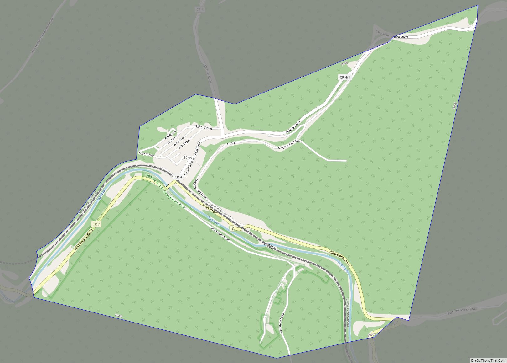
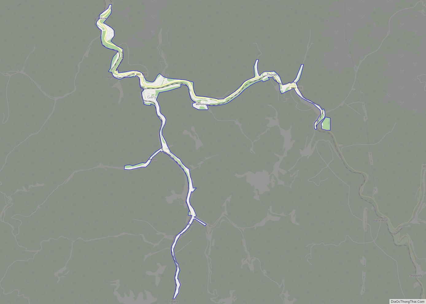
Online Interactive Map
Click on ![]() to view map in "full screen" mode.
to view map in "full screen" mode.
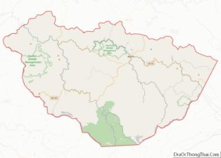
Northfork location map. Where is Northfork town?
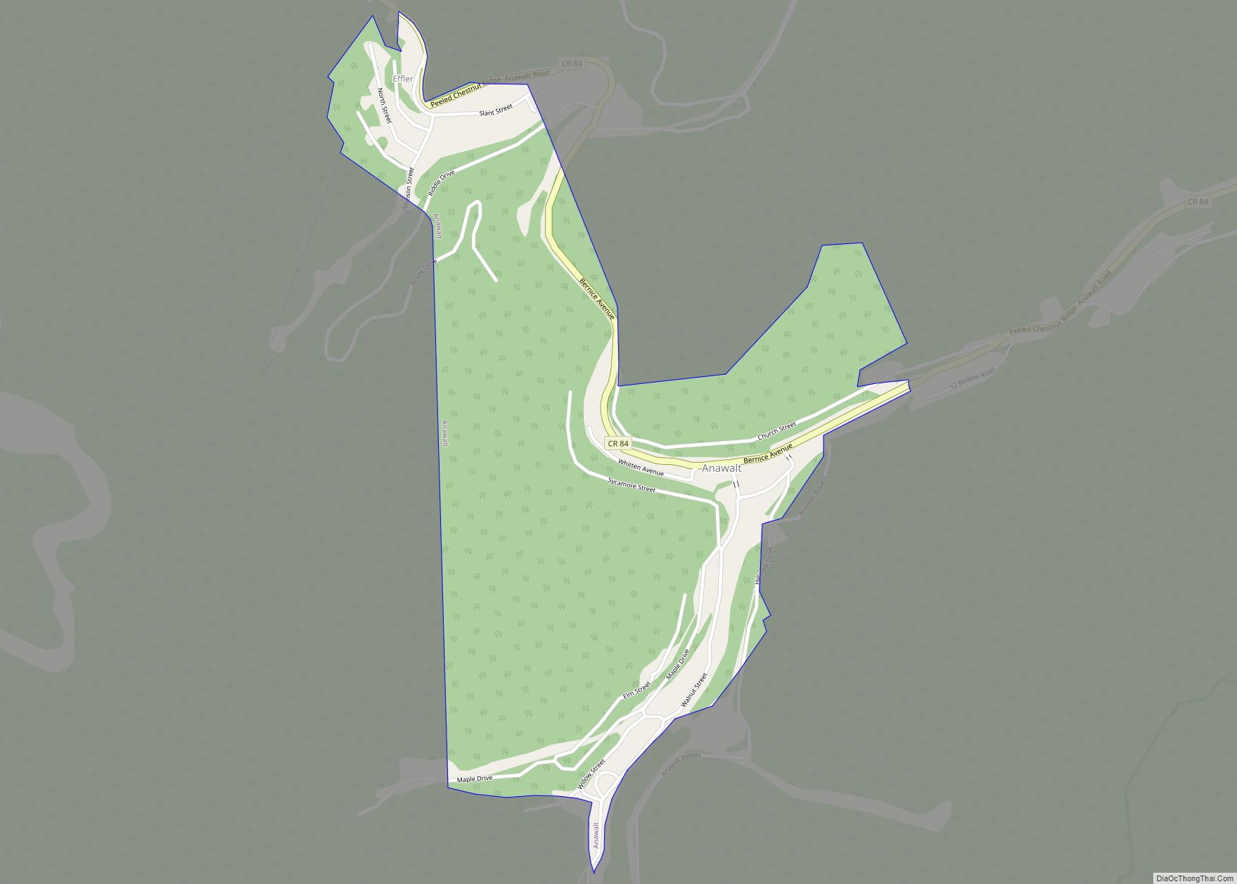
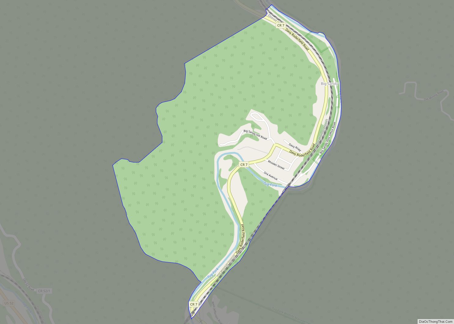
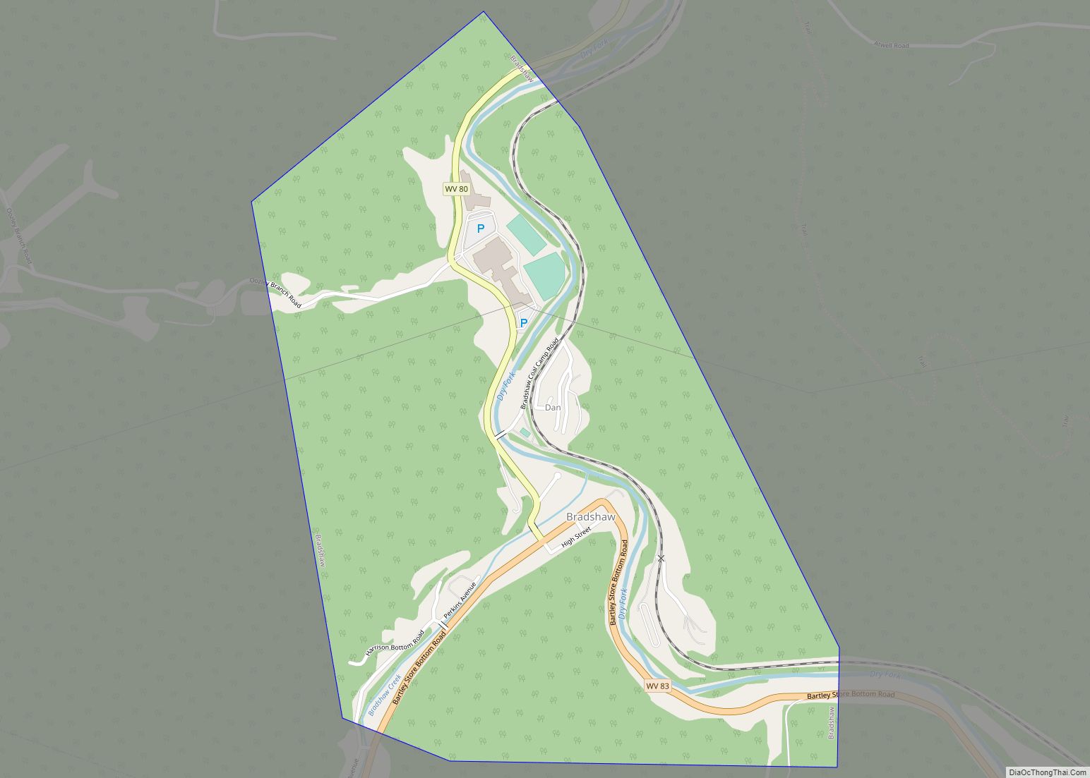
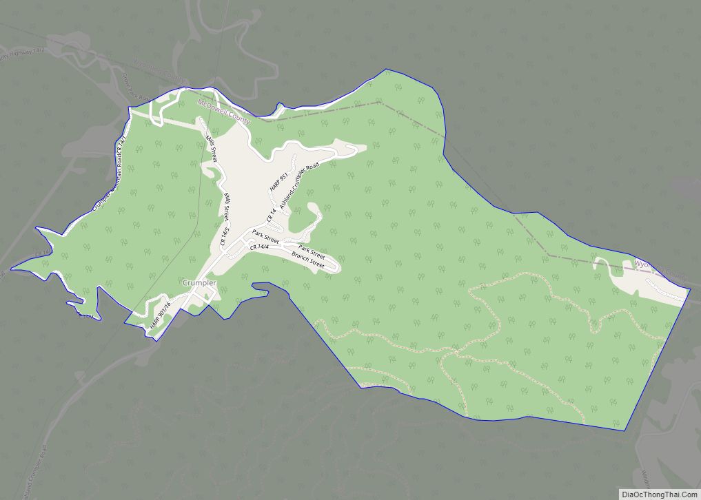
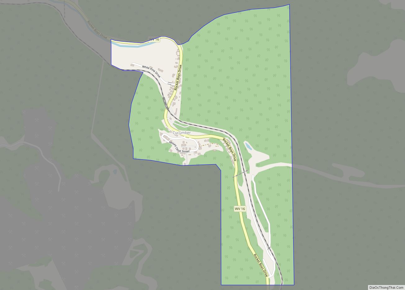
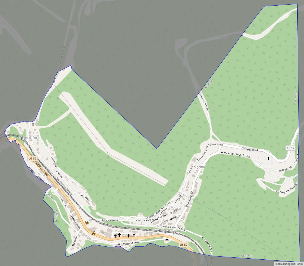
Northfork Road Map
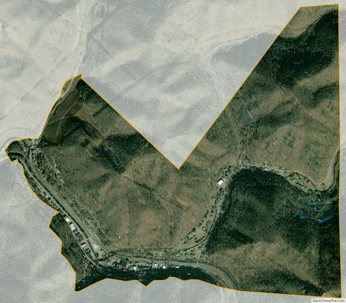
Northfork city Satellite Map
Geography
According to the United States Census Bureau, the town has a total area of 0.96 square miles (2.49 km), all land. The town is on the Norfolk Southern Railway (former Norfolk and Western) network.
See also
Map of West Virginia State and its subdivision:- Barbour
- Berkeley
- Boone
- Braxton
- Brooke
- Cabell
- Calhoun
- Clay
- Doddridge
- Fayette
- Gilmer
- Grant
- Greenbrier
- Hampshire
- Hancock
- Hardy
- Harrison
- Jackson
- Jefferson
- Kanawha
- Lewis
- Lincoln
- Logan
- Marion
- Marshall
- Mason
- McDowell
- Mercer
- Mineral
- Mingo
- Monongalia
- Monroe
- Morgan
- Nicholas
- Ohio
- Pendleton
- Pleasants
- Pocahontas
- Preston
- Putnam
- Raleigh
- Randolph
- Ritchie
- Roane
- Summers
- Taylor
- Tucker
- Tyler
- Upshur
- Wayne
- Webster
- Wetzel
- Wirt
- Wood
- Wyoming
- Alabama
- Alaska
- Arizona
- Arkansas
- California
- Colorado
- Connecticut
- Delaware
- District of Columbia
- Florida
- Georgia
- Hawaii
- Idaho
- Illinois
- Indiana
- Iowa
- Kansas
- Kentucky
- Louisiana
- Maine
- Maryland
- Massachusetts
- Michigan
- Minnesota
- Mississippi
- Missouri
- Montana
- Nebraska
- Nevada
- New Hampshire
- New Jersey
- New Mexico
- New York
- North Carolina
- North Dakota
- Ohio
- Oklahoma
- Oregon
- Pennsylvania
- Rhode Island
- South Carolina
- South Dakota
- Tennessee
- Texas
- Utah
- Vermont
- Virginia
- Washington
- West Virginia
- Wisconsin
- Wyoming