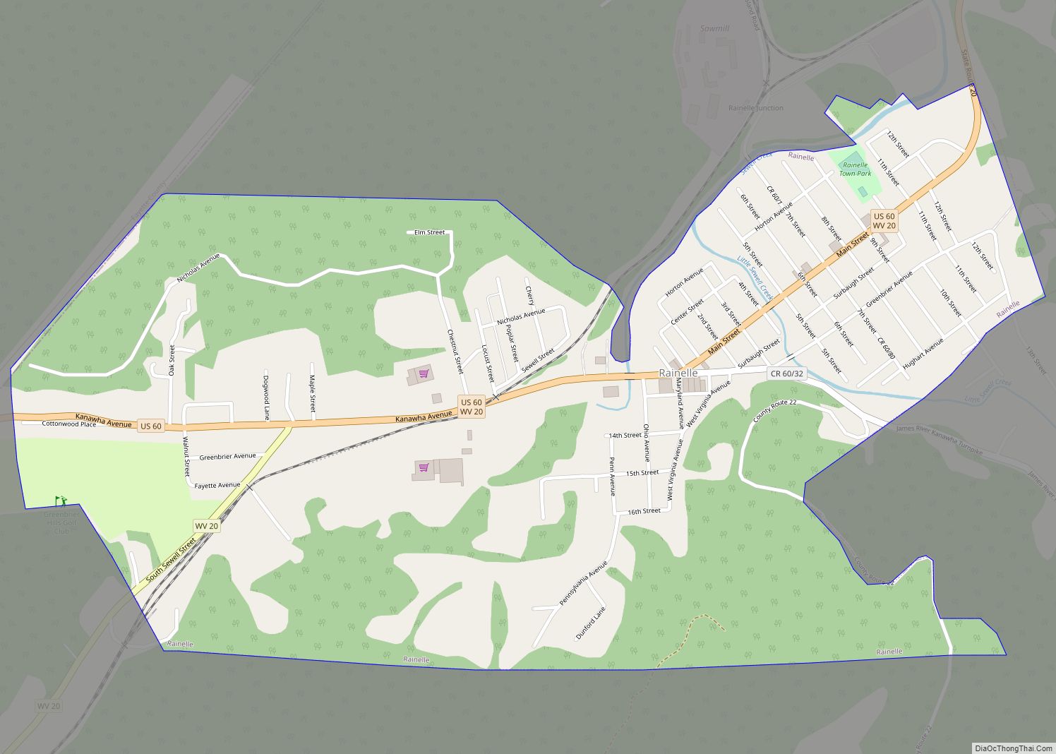
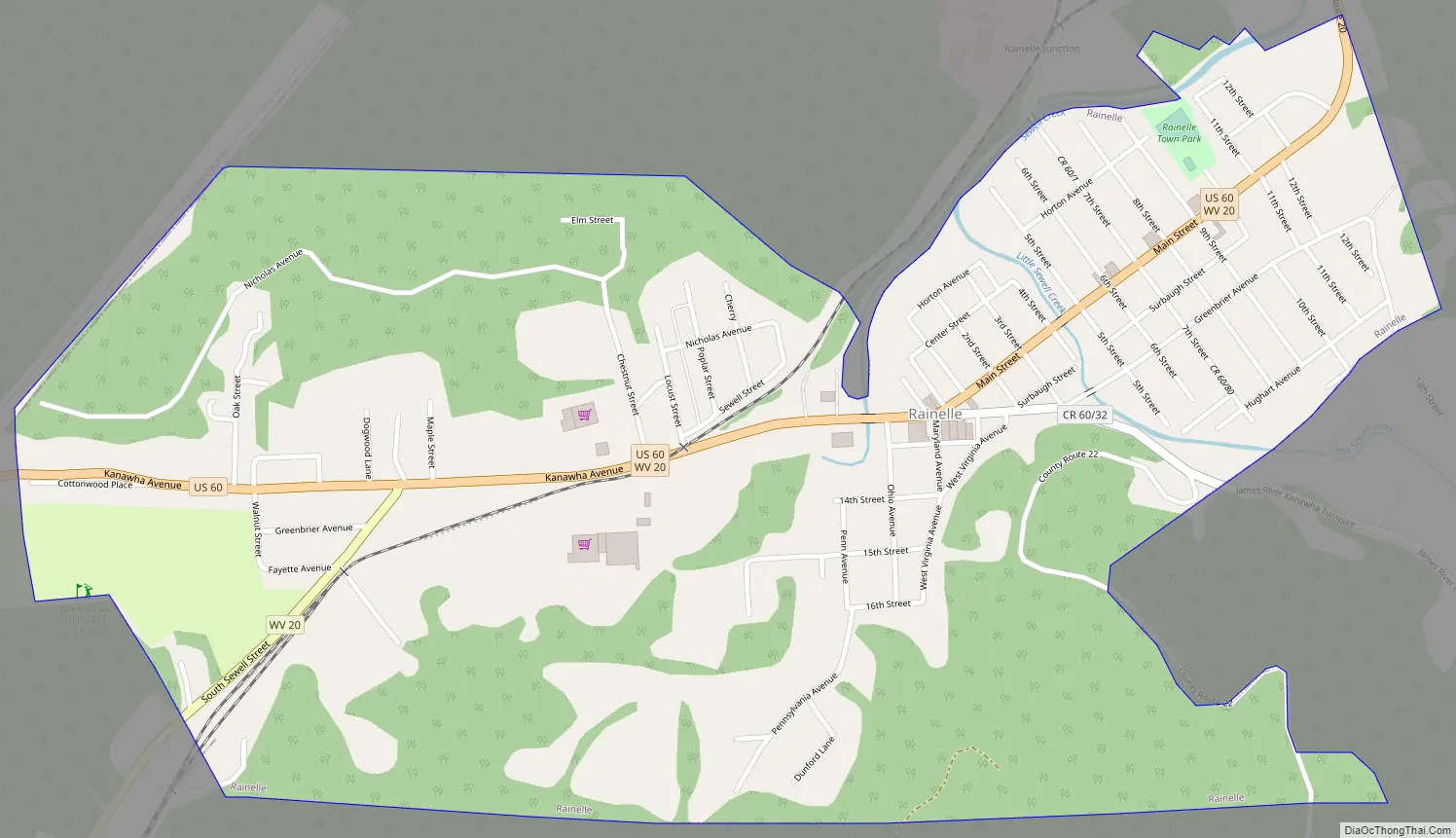
Rainelle is a town on the western edge of Greenbrier County, West Virginia, United States. It sits at the base of Sewell Mountain and Sims Mountain, and is bisected by the Meadow River. The only means of transportation to and from Rainelle are roads; primarily US 60 and WV 20, which merge on the western end of the town, and the James River and Kanawha Turnpike, which enters from the south. The population was 1,190 at the 2020 census.
| Name: | Rainelle town |
|---|---|
| LSAD Code: | 43 |
| LSAD Description: | town (suffix) |
| State: | West Virginia |
| County: | Greenbrier County |
| Incorporated: | April 25, 1913 |
| Elevation: | 2,395 ft (730 m) |
| Total Area: | 1.12 sq mi (2.89 km²) |
| Land Area: | 1.11 sq mi (2.88 km²) |
| Water Area: | 0.00 sq mi (0.01 km²) |
| Total Population: | 1,190 |
| Population Density: | 1,365.68/sq mi (527.34/km²) |
| Area code: | 304/681 |
| FIPS code: | 5466652 |
| GNISfeature ID: | 2391381 |
| Website: | http://www.rainelle-wv.com |
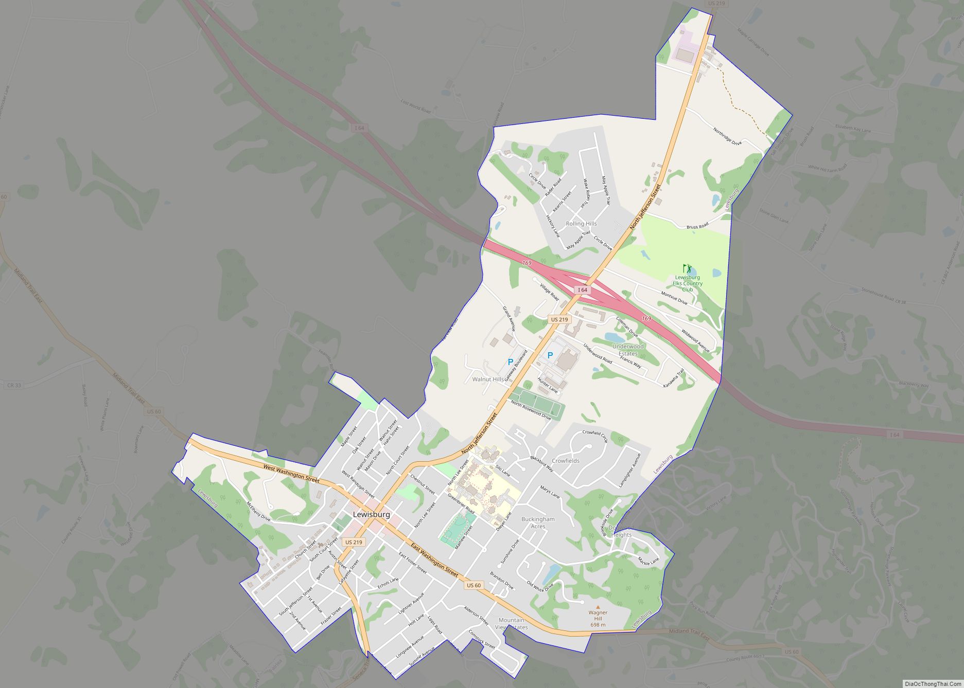
Online Interactive Map
Click on ![]() to view map in "full screen" mode.
to view map in "full screen" mode.
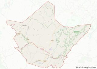
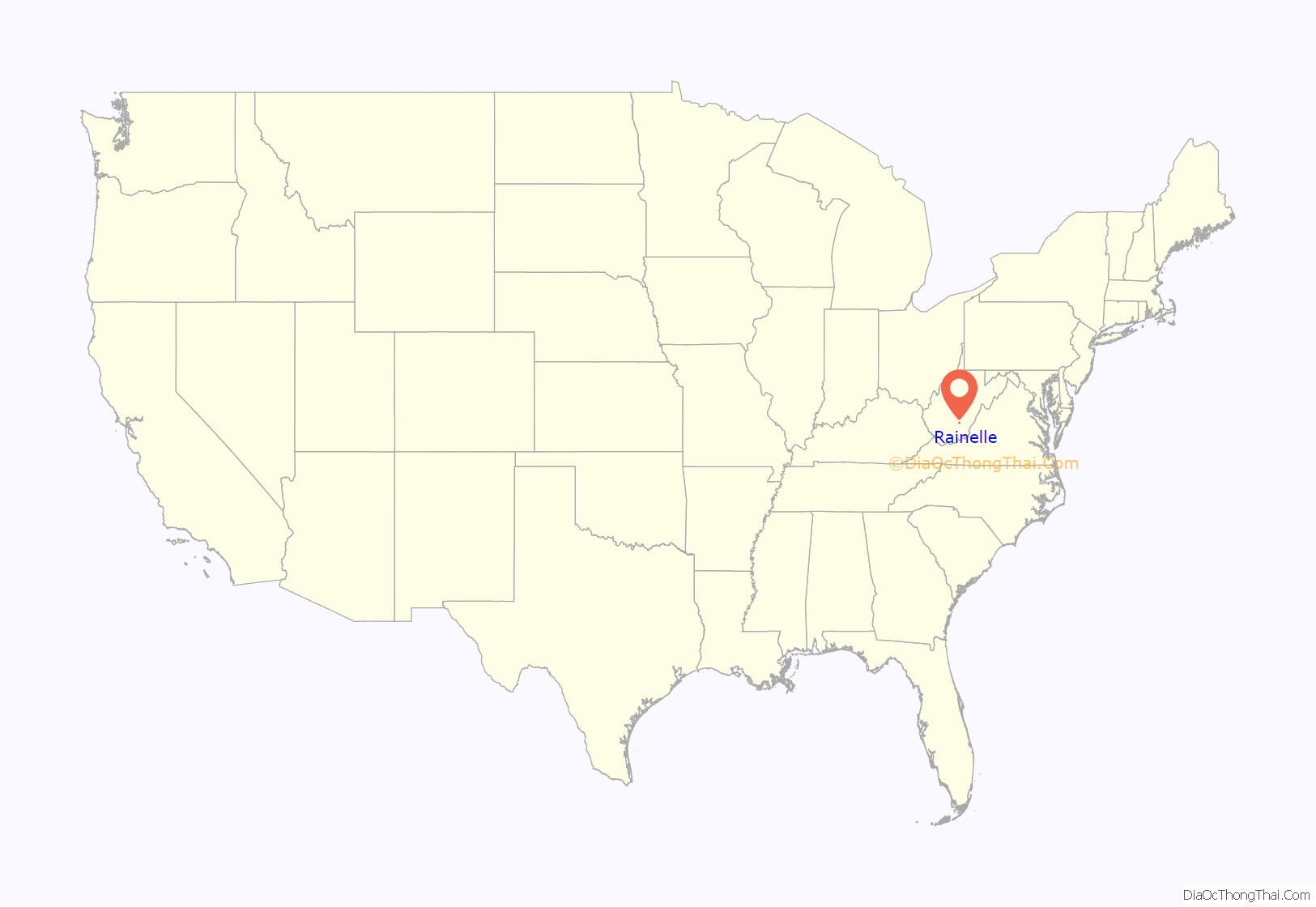
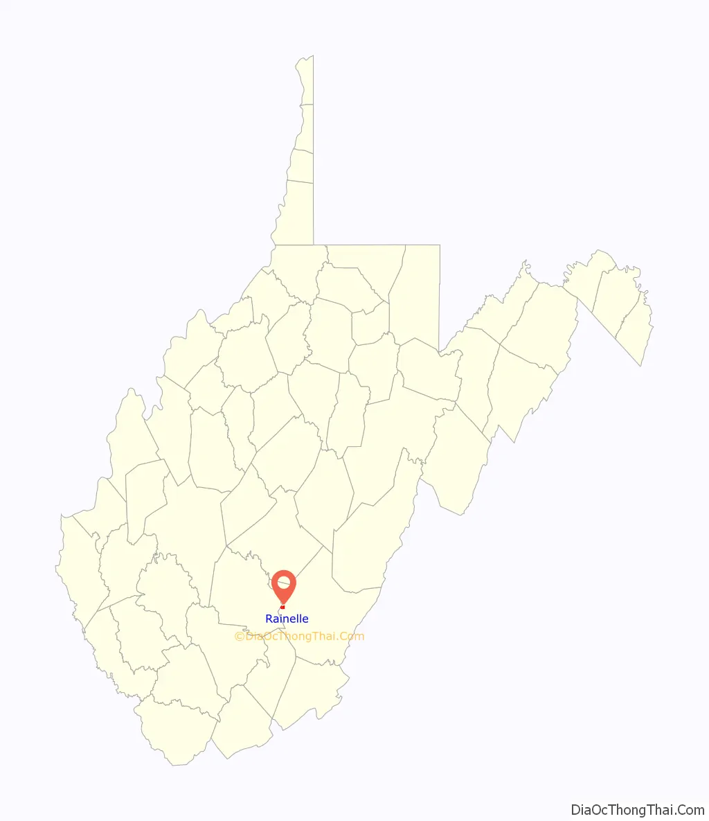
Rainelle location map. Where is Rainelle town?
History
The valley and community that contain and predates Rainelle is named Sewell Valley after Stephen Sewell, a scout that settled in the area in the 1750s. The community west of the Meadow River first applied for the name Raine in honor of the Raine family but was turned down by the Post Office Department. They adopted the name Rainelle in 1909. Thomas W. Raine and his brother John moved to the location from Pennsylvania in 1906 to harvest a large stand of hardwoods for building homes, etc. Their Meadow River Lumber Company operated for 60 years, and at one time was the largest hardwood sawmill in the world. In 1970, the owners sold it to Georgia-Pacific Corporation, which tore it down in 1975.
The town has suffered from several natural disasters in the last decade: most notable of these have been the June 2012 North American derecho, Hurricane Sandy, and the 2016 West Virginia flood. Rebuilding and demolition of structures damaged in the 2016 flood was still in progress in January 2020. Homes rebuilt with funds from the federal Hazard Mitigation Grant program were required to be sited two feet above the 100-year floodplain.
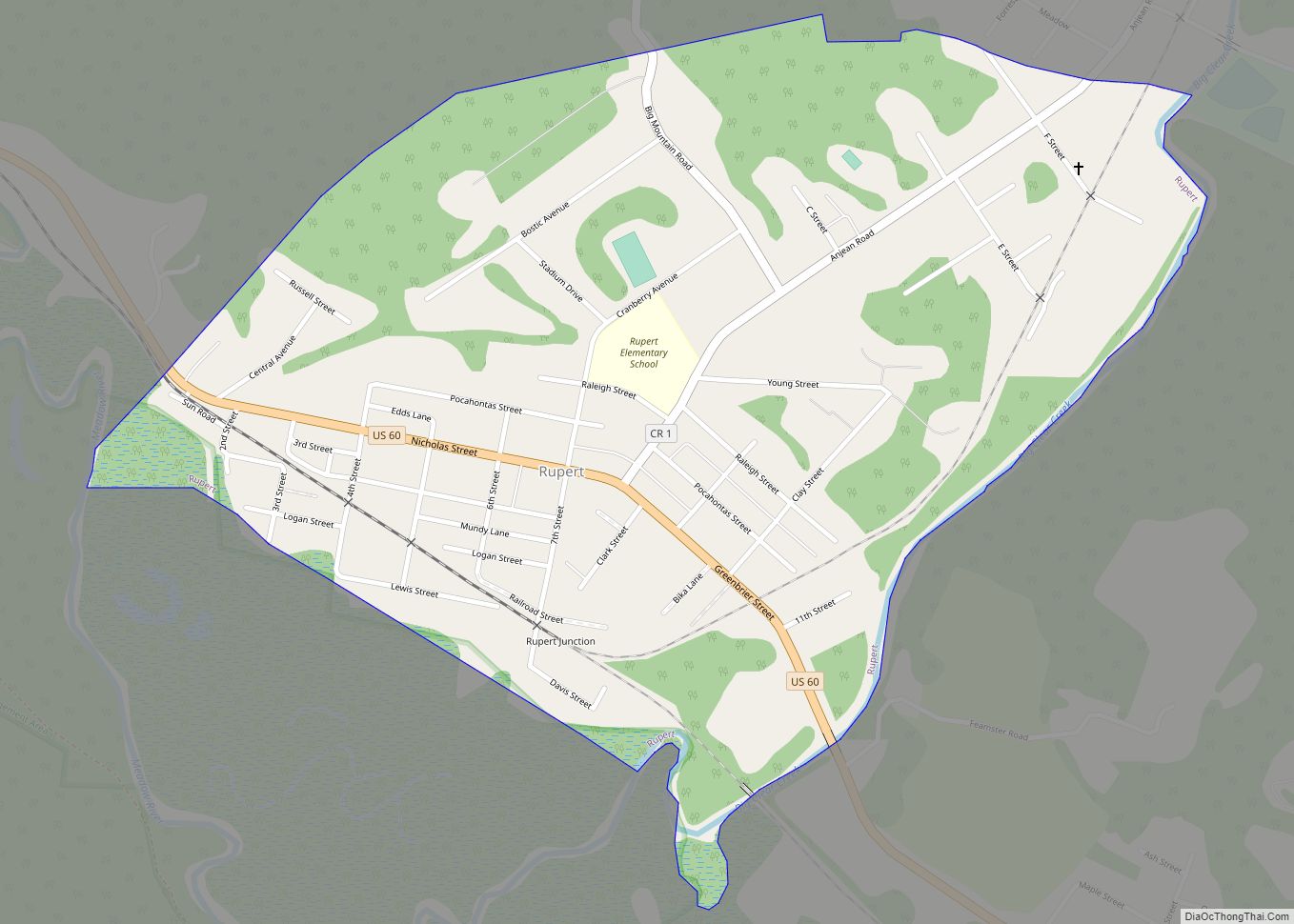
Rainelle Road Map
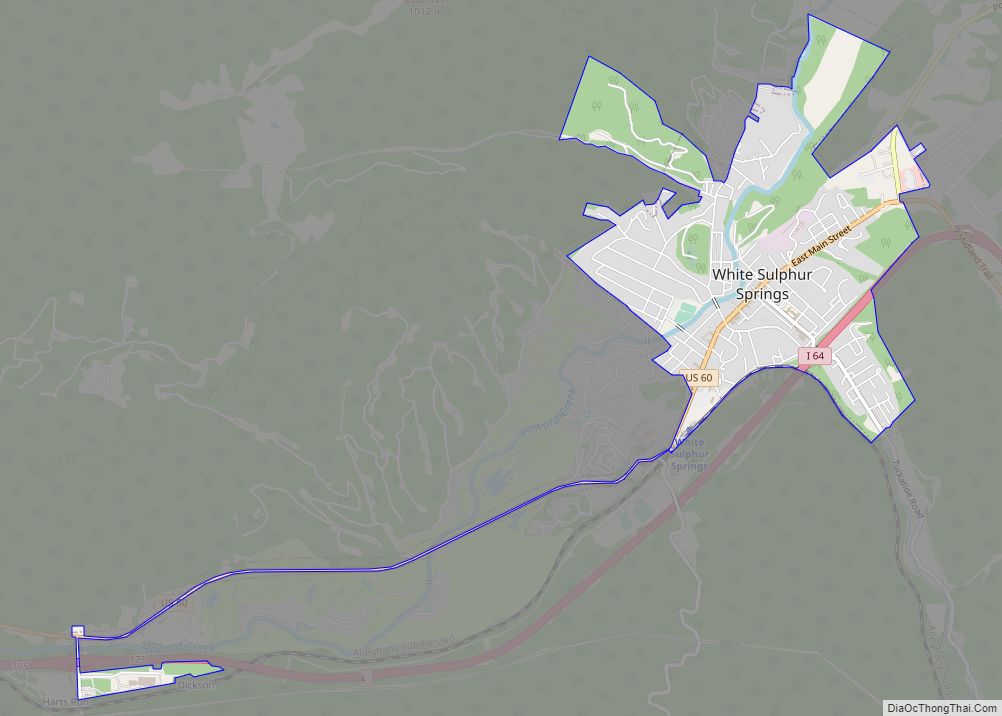
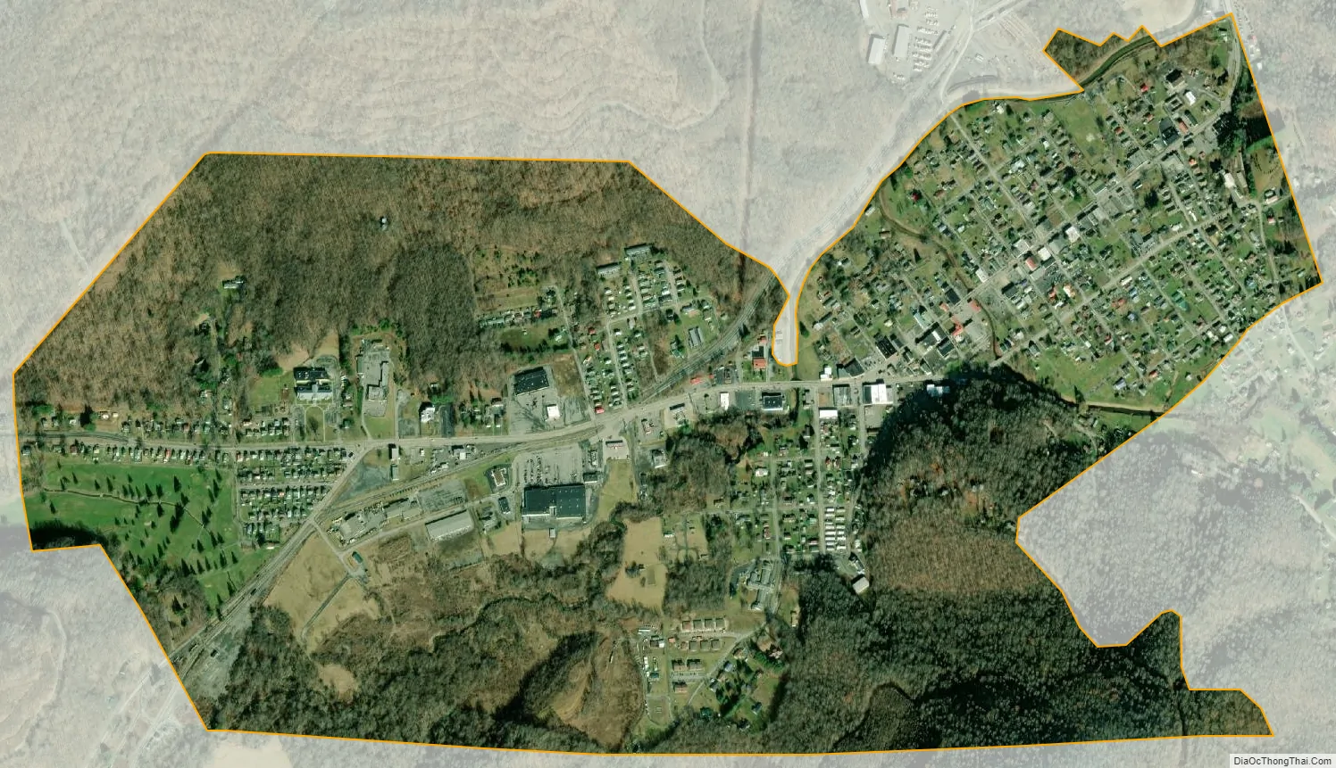
Rainelle city Satellite Map
Geography
According to the United States Census Bureau, the town has a total area of 1.11 square miles (2.87 km), all land.
The Meadow River flows through the town in a westerly direction on its way to eventually join the Gauley River.
The Midland Trail, now part of U.S. Route 60, runs through the town.
See also
Map of West Virginia State and its subdivision:- Barbour
- Berkeley
- Boone
- Braxton
- Brooke
- Cabell
- Calhoun
- Clay
- Doddridge
- Fayette
- Gilmer
- Grant
- Greenbrier
- Hampshire
- Hancock
- Hardy
- Harrison
- Jackson
- Jefferson
- Kanawha
- Lewis
- Lincoln
- Logan
- Marion
- Marshall
- Mason
- McDowell
- Mercer
- Mineral
- Mingo
- Monongalia
- Monroe
- Morgan
- Nicholas
- Ohio
- Pendleton
- Pleasants
- Pocahontas
- Preston
- Putnam
- Raleigh
- Randolph
- Ritchie
- Roane
- Summers
- Taylor
- Tucker
- Tyler
- Upshur
- Wayne
- Webster
- Wetzel
- Wirt
- Wood
- Wyoming
- Alabama
- Alaska
- Arizona
- Arkansas
- California
- Colorado
- Connecticut
- Delaware
- District of Columbia
- Florida
- Georgia
- Hawaii
- Idaho
- Illinois
- Indiana
- Iowa
- Kansas
- Kentucky
- Louisiana
- Maine
- Maryland
- Massachusetts
- Michigan
- Minnesota
- Mississippi
- Missouri
- Montana
- Nebraska
- Nevada
- New Hampshire
- New Jersey
- New Mexico
- New York
- North Carolina
- North Dakota
- Ohio
- Oklahoma
- Oregon
- Pennsylvania
- Rhode Island
- South Carolina
- South Dakota
- Tennessee
- Texas
- Utah
- Vermont
- Virginia
- Washington
- West Virginia
- Wisconsin
- Wyoming