White Sulphur Springs is a city in Greenbrier County in southeastern West Virginia, United States. The population was 2,231 at the 2020 census. The city emblem consists of five dandelion flowers and the citizens celebrate spring with an annual Dandelion Festival.
| Name: | White Sulphur Springs city |
|---|---|
| LSAD Code: | 25 |
| LSAD Description: | city (suffix) |
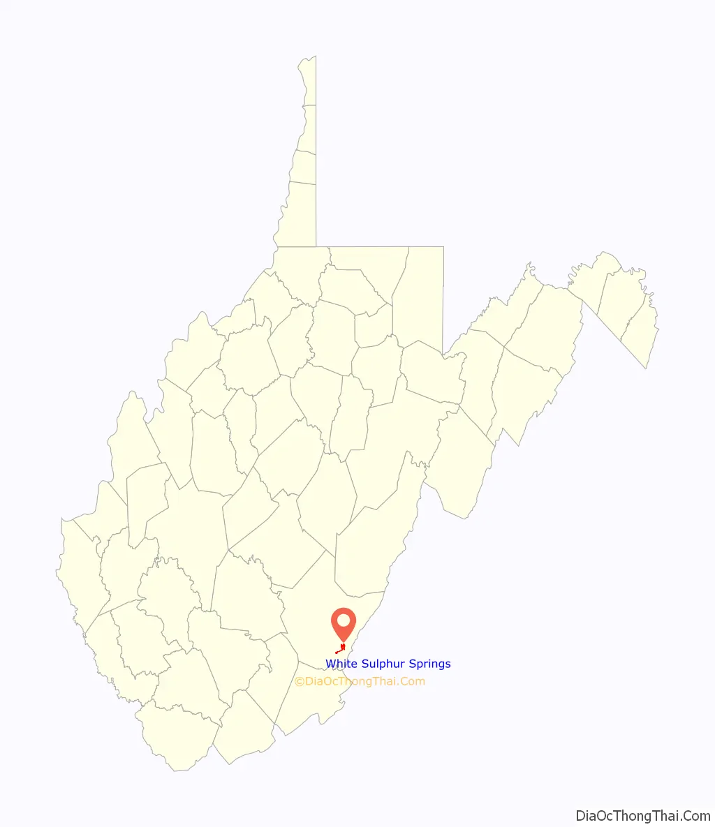
| State: | West Virginia |
| County: | Greenbrier County |
| Elevation: | 1,850 ft (560 m) |
| Total Area: | 1.90 sq mi (4.91 km²) |
| Land Area: | 1.87 sq mi (4.85 km²) |
| Water Area: | 0.02 sq mi (0.06 km²) |
| Total Population: | 2,231 |
| Population Density: | 1,255.21/sq mi (484.56/km²) |
| ZIP code: | 24986 |
| Area code: | 304, 681 |
| FIPS code: | 5486812 |
| GNISfeature ID: | 2390673 |
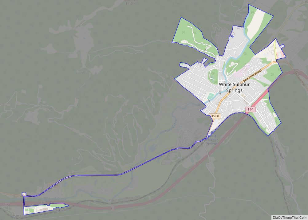
Online Interactive Map
Click on ![]() to view map in "full screen" mode.
to view map in "full screen" mode.
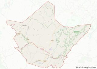
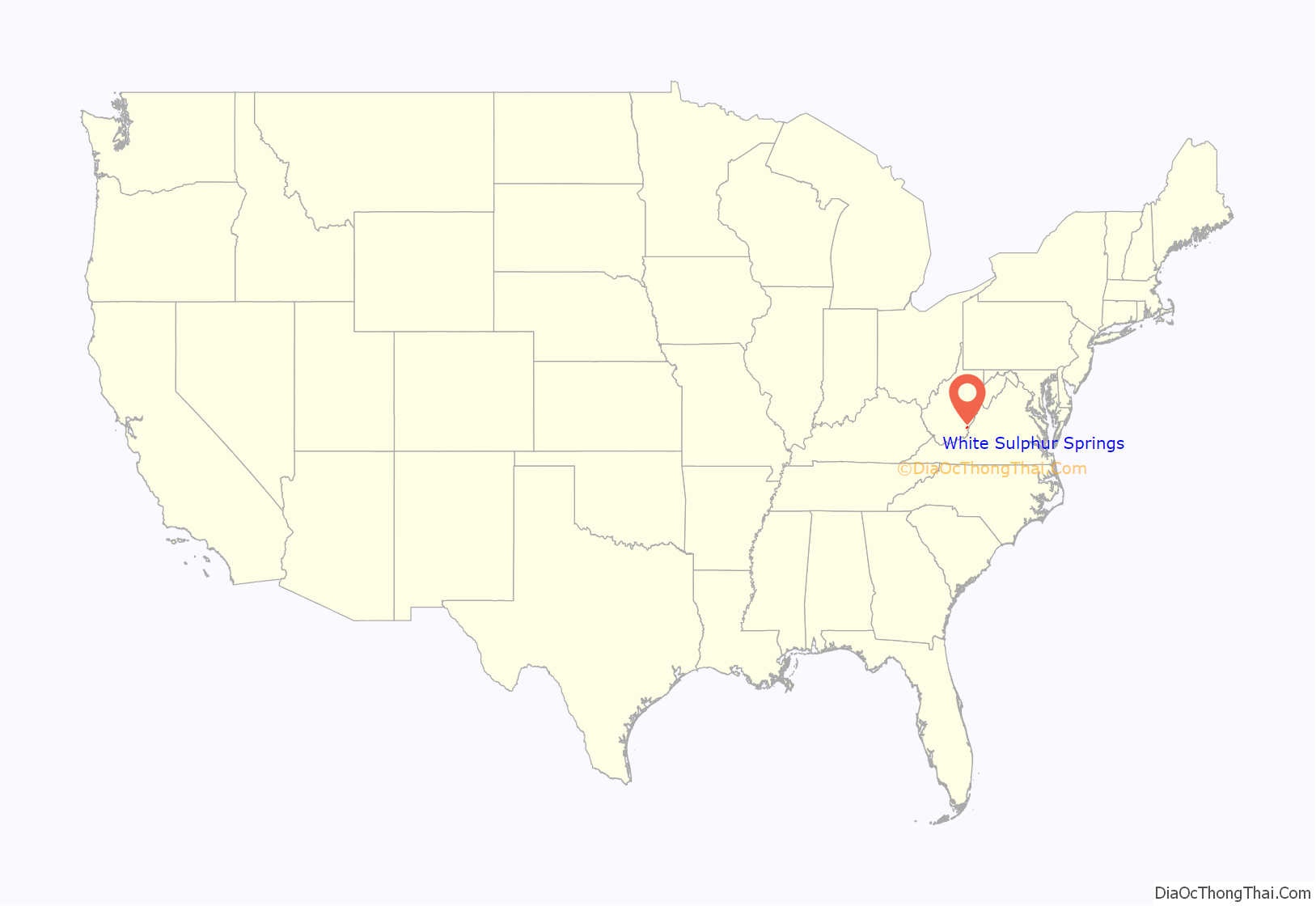
White Sulphur Springs location map. Where is White Sulphur Springs city?
History
White Sulphur Springs grew in the first half of the nineteenth century as the southern “Queen of the Watering Places”. The springs resort first became the standard summer destination for wealthy Virginia Low Country residents seeking reprieve from heat, humidity, and disease of the “sickly season”. As its popularity increased and it gained status as a socially exclusive site, the springs attracted elite guests from all over.
The resort, now known as The Greenbrier, remains one of the country’s most luxurious and exclusive resorts. For many years, Sam Snead was the resort’s golf pro and later golf pro emeritus. The resort has another significant place in golf history; in 1979, it hosted the first Ryder Cup to feature the current competitive setup of the United States and European sides. Golf in the United States began near White Sulphur Springs when the Montague family founded Oakhurst Links in 1884, making it the oldest organized golf club in the country. In 2010, the Greenbrier hosted the inaugural PGA Greenbrier Classic.
In 1992 The Washington Post reported that, during the Cold War, the resort had been the site of a “bunker”, the Emergency Relocation Center known as Project Greek Island, which was intended to house and protect the U.S. Congress in the event of a nuclear attack.
In June 2016, there was a historic severe flood in West Virginia that impacted White Sulphur Springs.
The Greenbrier also has serves as the location for training camp for the Houston Texans and New Orleans Saints.
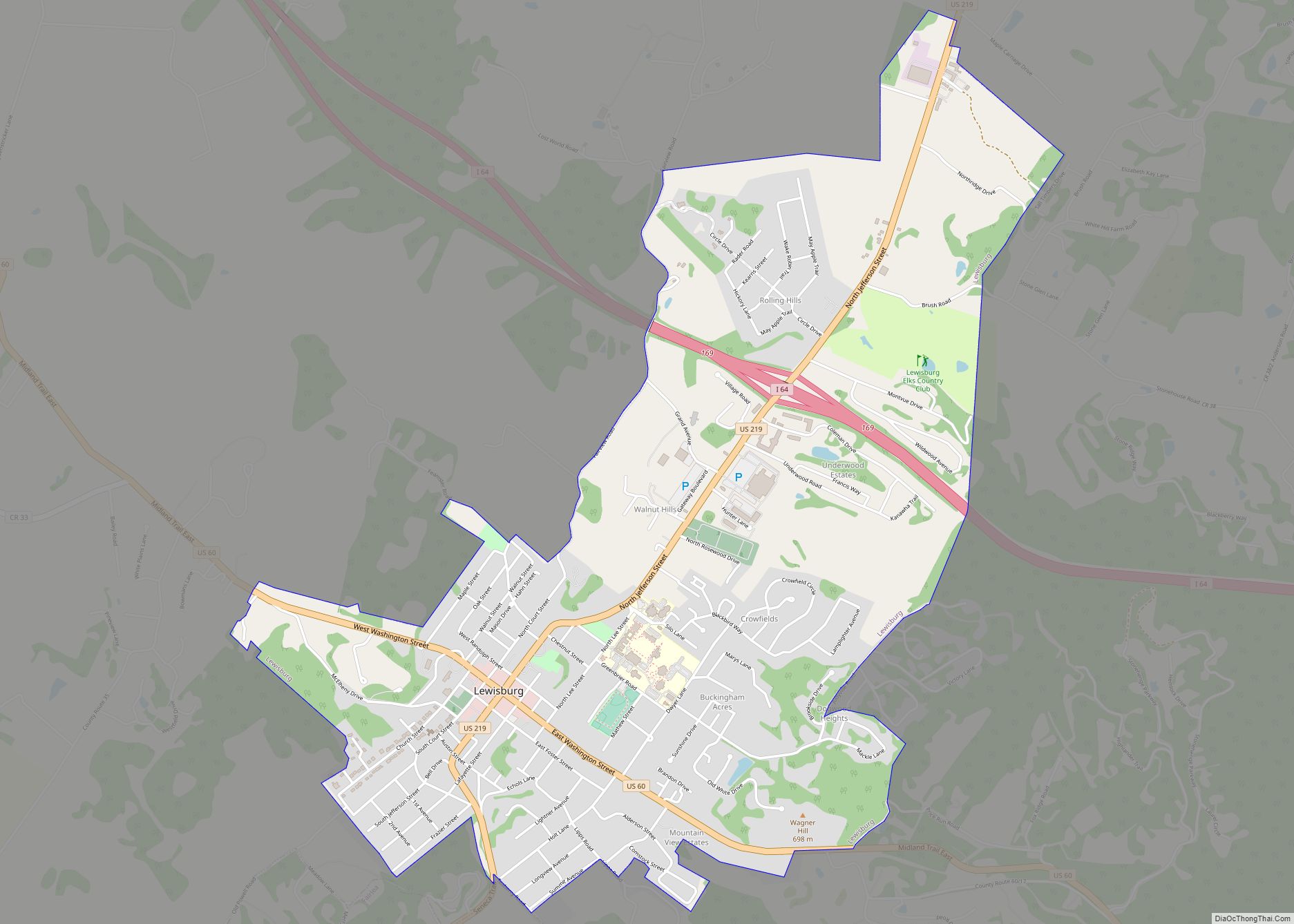
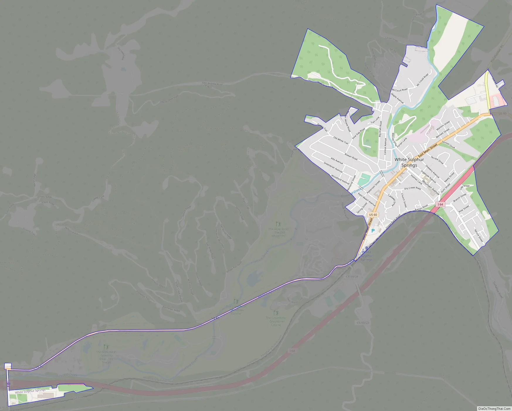
White Sulphur Springs Road Map
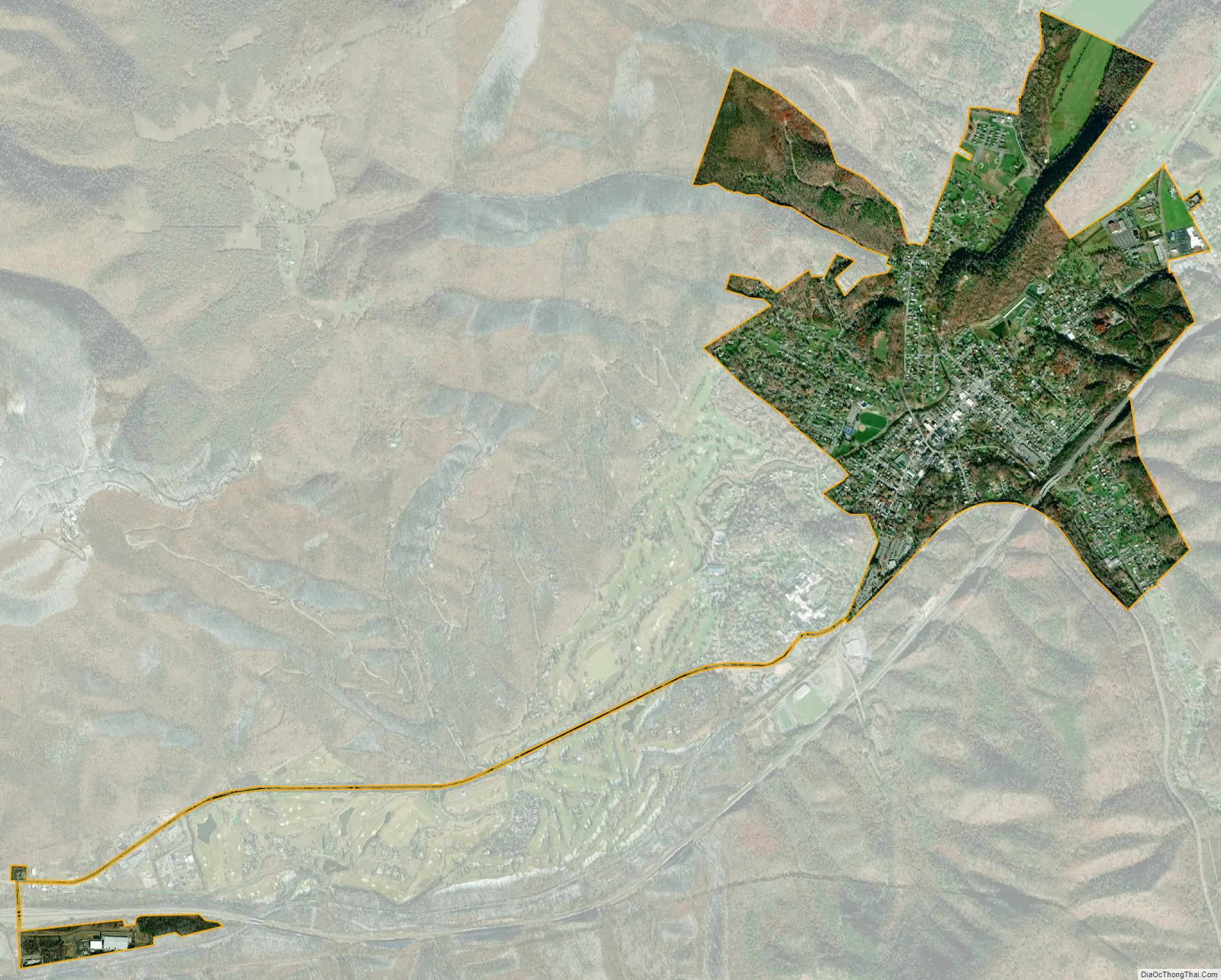
White Sulphur Springs city Satellite Map
Geography
White Sulphur Springs is located along Howard Creek and is served by I-64 and US Route 60.
According to the United States Census Bureau, the city has a total area of 1.98 square miles (5.13 km), of which 1.95 sq mi (5.05 km) is land and 0.03 sq mi (0.08 km) is water. It is also within the National Radio Quiet Zone. Services with AT&T, Verizon, Sprint, and U.S. Cellular is allowed within the area under lower tower frequencies.
Climate
White Sulphur Springs has a humid continental climate (Koppen Dfa).
See also
Map of West Virginia State and its subdivision:- Barbour
- Berkeley
- Boone
- Braxton
- Brooke
- Cabell
- Calhoun
- Clay
- Doddridge
- Fayette
- Gilmer
- Grant
- Greenbrier
- Hampshire
- Hancock
- Hardy
- Harrison
- Jackson
- Jefferson
- Kanawha
- Lewis
- Lincoln
- Logan
- Marion
- Marshall
- Mason
- McDowell
- Mercer
- Mineral
- Mingo
- Monongalia
- Monroe
- Morgan
- Nicholas
- Ohio
- Pendleton
- Pleasants
- Pocahontas
- Preston
- Putnam
- Raleigh
- Randolph
- Ritchie
- Roane
- Summers
- Taylor
- Tucker
- Tyler
- Upshur
- Wayne
- Webster
- Wetzel
- Wirt
- Wood
- Wyoming
- Alabama
- Alaska
- Arizona
- Arkansas
- California
- Colorado
- Connecticut
- Delaware
- District of Columbia
- Florida
- Georgia
- Hawaii
- Idaho
- Illinois
- Indiana
- Iowa
- Kansas
- Kentucky
- Louisiana
- Maine
- Maryland
- Massachusetts
- Michigan
- Minnesota
- Mississippi
- Missouri
- Montana
- Nebraska
- Nevada
- New Hampshire
- New Jersey
- New Mexico
- New York
- North Carolina
- North Dakota
- Ohio
- Oklahoma
- Oregon
- Pennsylvania
- Rhode Island
- South Carolina
- South Dakota
- Tennessee
- Texas
- Utah
- Vermont
- Virginia
- Washington
- West Virginia
- Wisconsin
- Wyoming