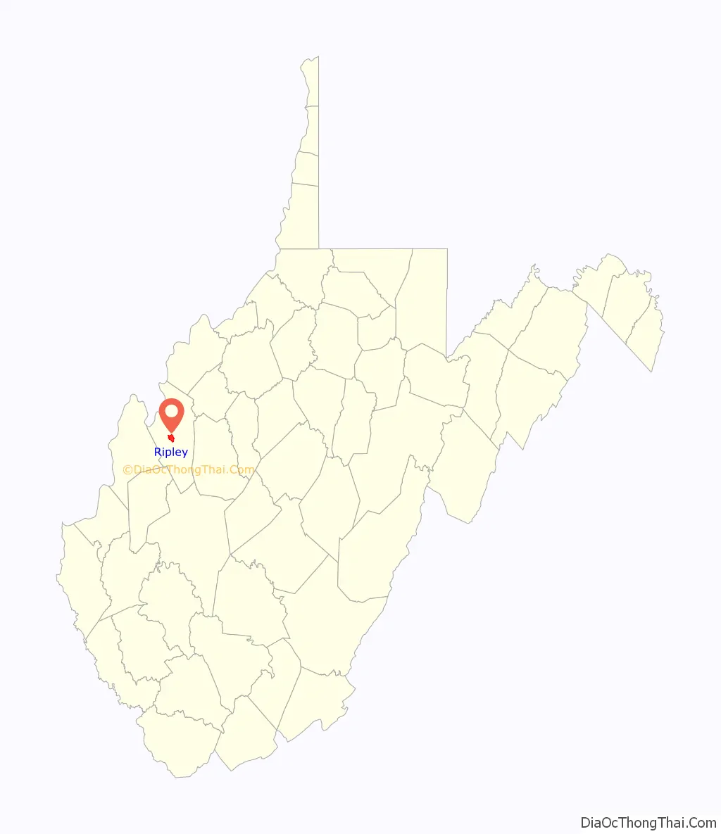
Ripley is a city in and the county seat of Jackson County, West Virginia, United States. The population was 3,074 at the 2020 census.
| Name: | Ripley city |
|---|---|
| LSAD Code: | 25 |
| LSAD Description: | city (suffix) |
| State: | West Virginia |
| County: | Jackson County |
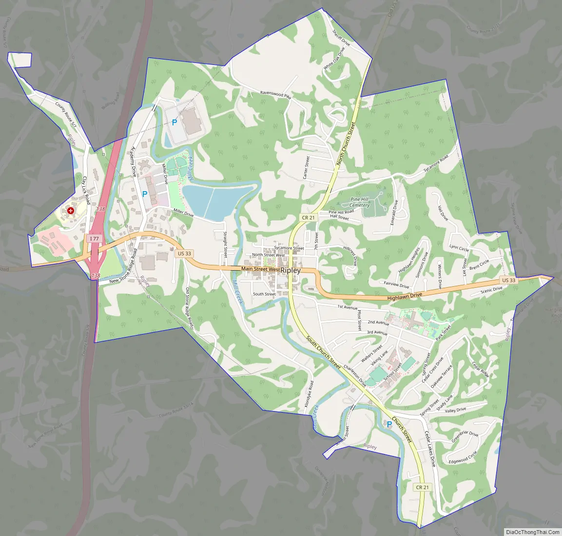
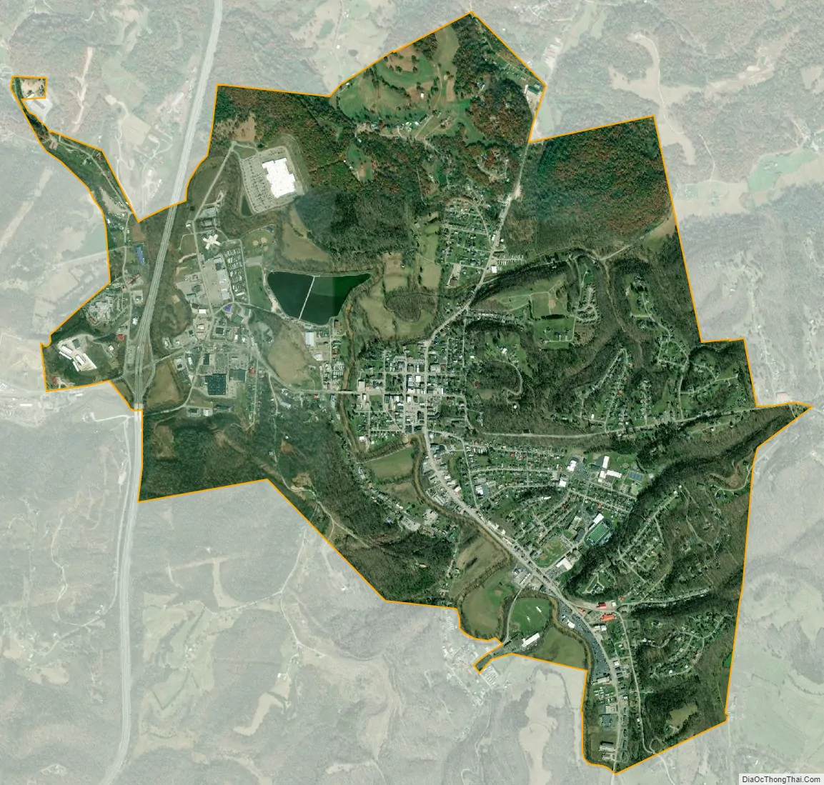
| Elevation: | 614 ft (187 m) |
| Total Area: | 3.29 sq mi (8.51 km²) |
| Land Area: | 3.18 sq mi (8.23 km²) |
| Water Area: | 0.11 sq mi (0.28 km²) |
| Total Population: | 3,074 |
| Population Density: | 994.33/sq mi (383.96/km²) |
| ZIP code: | 25271 |
| Area code: | 304 |
| FIPS code: | 5468596 |
| GNISfeature ID: | 1545757 |
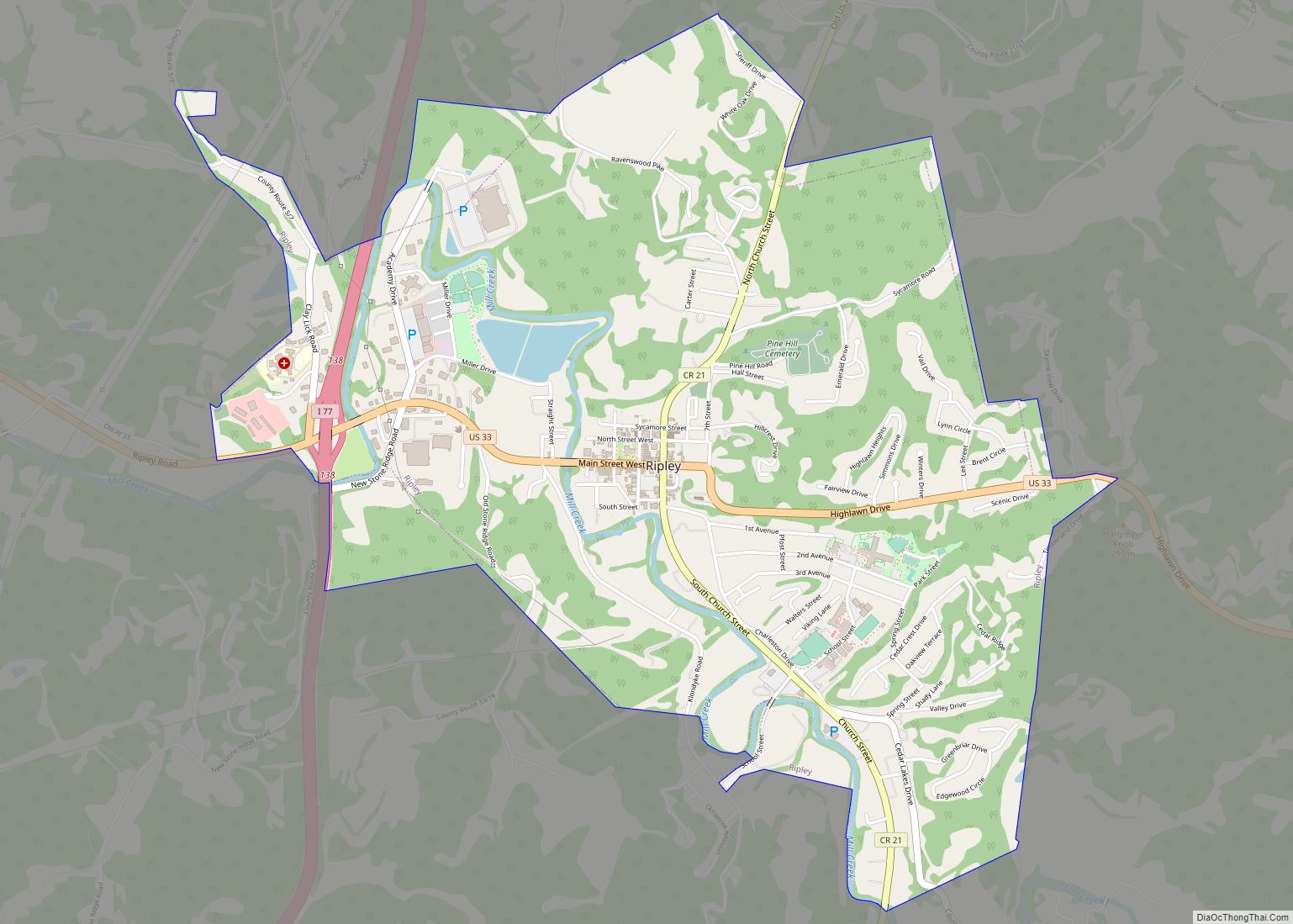
Online Interactive Map
Click on ![]() to view map in "full screen" mode.
to view map in "full screen" mode.
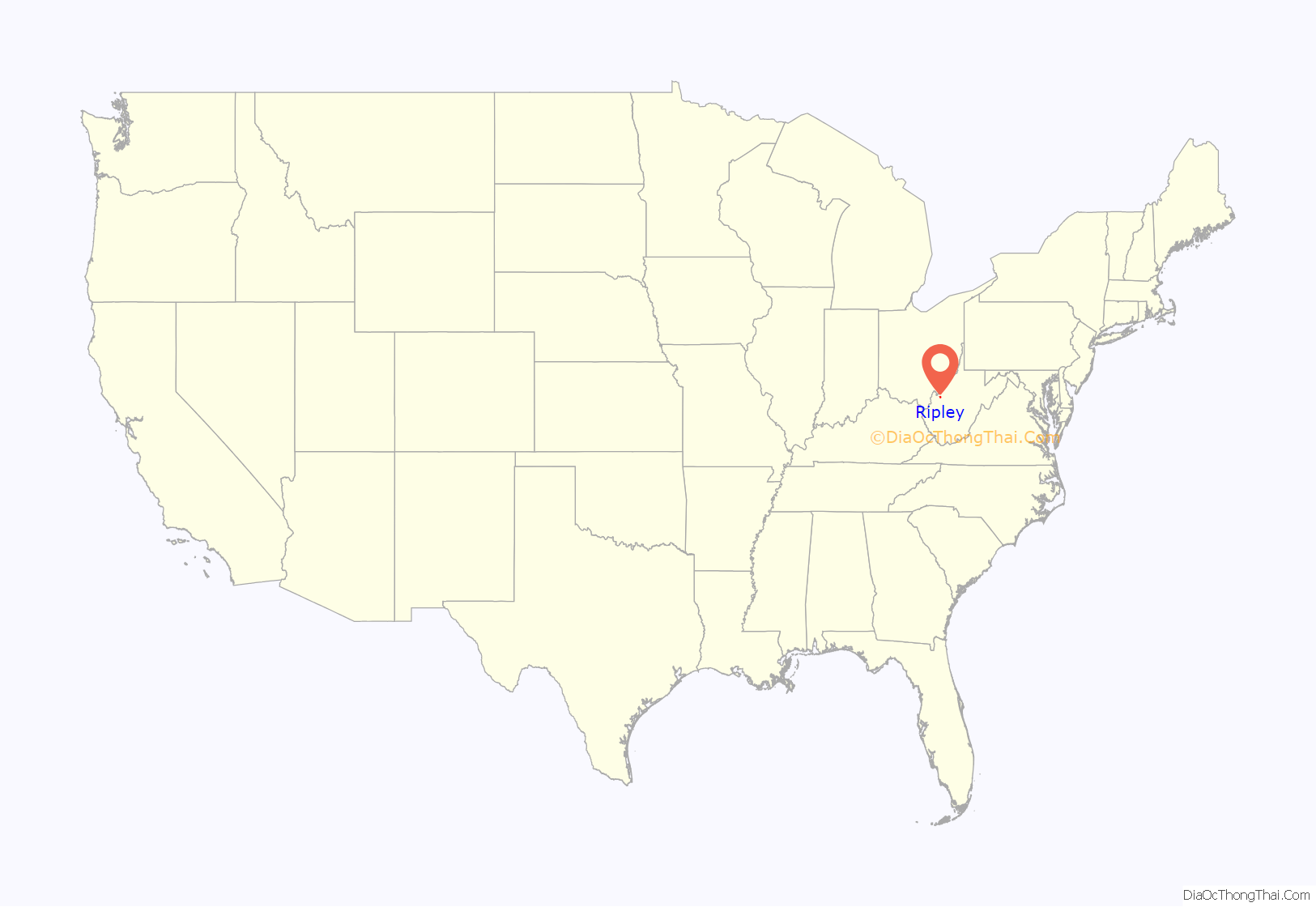
Ripley location map. Where is Ripley city?
History
Ripley was originally owned and settled by William, John, and Lewis Rodgers. They received a grant of 400 acres (1.6 km) in 1768 where “Sycamore Creek joins Big Mill Creek” (the current site of Ripley). The land was later sold to Jacob (and Ann) Starcher, most probably in 1803. Jacob Starcher erected a grist mill in 1824 and laid out the town in 1830, naming it in honor of Harry Ripley, a young minister who was to be married, but drowned in Big Mill Creek, about one and a half miles north of the town, shortly before the ceremony took place.
When Jackson County was formed in 1831, the residents of the county could not decide where to locate the county seat. The people who lived along the Ohio River near the Ravenswood settlement favored that location. The people who lived farther inland objected. The Virginia General Assembly appointed an independent commission to make the final decision which selected Ripley. In 1832, the Starchers donated 8 acres (32,000 m) of land to the county, 2 acres (8,100 m) for the location of the county courthouse and jail, and six for the general use of the new county (a public school and a cemetery were later located on the land). The town was chartered by the Virginia General Assembly in 1832.
The post office was established in 1832 with the name Jackson Court House. The name was shortened in 1893 to Jackson. In 1897, the name became Ripley.
During the American Civil War, Ripley remained under the control of the Union except for a brief incursion by the Confederate General Albert G. Jenkins in September 1862.
The last public hanging in West Virginia took place in Ripley in 1897, when John Morgan was hanged for murder. The spectacle prompted the West Virginia Legislature to ban public executions soon after.
Ripley Road Map
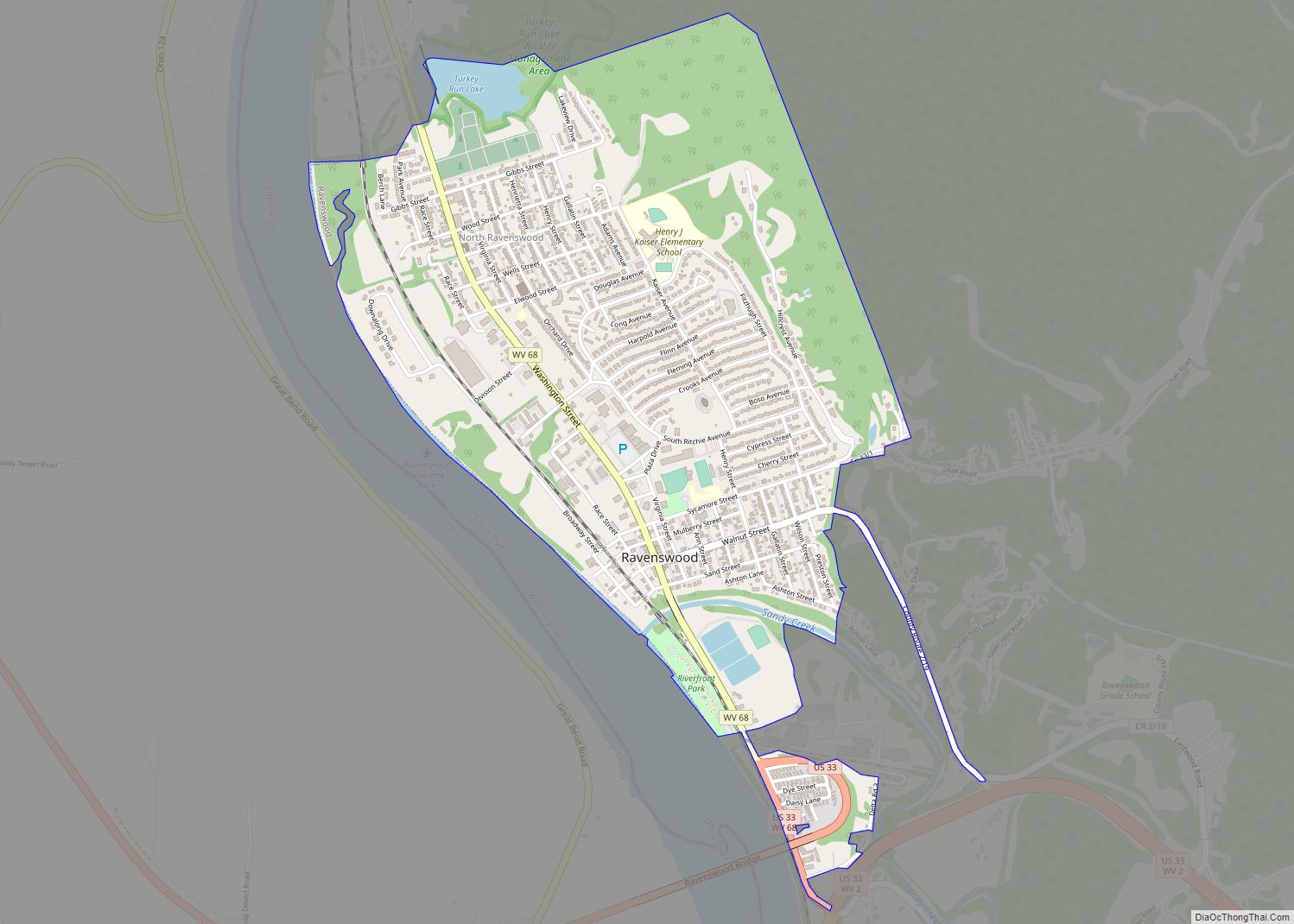
Ripley city Satellite Map
Geography
Ripley is located at 38°49′16″N 81°42′51″W / 38.82111°N 81.71417°W / 38.82111; -81.71417 (38.821078, -81.714264), along Mill Creek.
According to the United States Census Bureau, the city has a total area of 3.28 square miles (8.50 km), of which 3.17 square miles (8.21 km) is land and 0.11 square miles (0.28 km) is water.
See also
Map of West Virginia State and its subdivision:- Barbour
- Berkeley
- Boone
- Braxton
- Brooke
- Cabell
- Calhoun
- Clay
- Doddridge
- Fayette
- Gilmer
- Grant
- Greenbrier
- Hampshire
- Hancock
- Hardy
- Harrison
- Jackson
- Jefferson
- Kanawha
- Lewis
- Lincoln
- Logan
- Marion
- Marshall
- Mason
- McDowell
- Mercer
- Mineral
- Mingo
- Monongalia
- Monroe
- Morgan
- Nicholas
- Ohio
- Pendleton
- Pleasants
- Pocahontas
- Preston
- Putnam
- Raleigh
- Randolph
- Ritchie
- Roane
- Summers
- Taylor
- Tucker
- Tyler
- Upshur
- Wayne
- Webster
- Wetzel
- Wirt
- Wood
- Wyoming
- Alabama
- Alaska
- Arizona
- Arkansas
- California
- Colorado
- Connecticut
- Delaware
- District of Columbia
- Florida
- Georgia
- Hawaii
- Idaho
- Illinois
- Indiana
- Iowa
- Kansas
- Kentucky
- Louisiana
- Maine
- Maryland
- Massachusetts
- Michigan
- Minnesota
- Mississippi
- Missouri
- Montana
- Nebraska
- Nevada
- New Hampshire
- New Jersey
- New Mexico
- New York
- North Carolina
- North Dakota
- Ohio
- Oklahoma
- Oregon
- Pennsylvania
- Rhode Island
- South Carolina
- South Dakota
- Tennessee
- Texas
- Utah
- Vermont
- Virginia
- Washington
- West Virginia
- Wisconsin
- Wyoming