Rivesville is a town and former coal town in Marion County, West Virginia, United States. The population was 830 at the 2020 census.
| Name: | Rivesville town |
|---|---|
| LSAD Code: | 43 |
| LSAD Description: | town (suffix) |
| State: | West Virginia |
| County: | Marion County |
| Elevation: | 866 ft (264 m) |
| Total Area: | 0.59 sq mi (1.54 km²) |
| Land Area: | 0.52 sq mi (1.36 km²) |
| Water Area: | 0.07 sq mi (0.18 km²) |
| Total Population: | 830 |
| Population Density: | 1,723.28/sq mi (664.98/km²) |
| ZIP code: | 26588 |
| Area code: | 304 |
| FIPS code: | 5468908 |
| GNISfeature ID: | 1545784 |
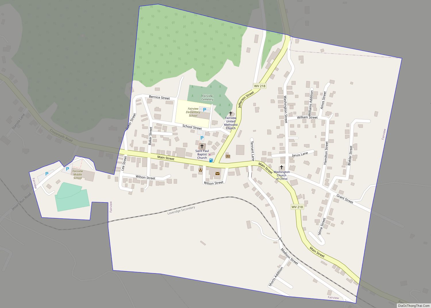
Online Interactive Map
Click on ![]() to view map in "full screen" mode.
to view map in "full screen" mode.
Rivesville location map. Where is Rivesville town?


History
The area was populated by some of the earliest settlers to the area, with the safety of Prickett’s Fort sitting directly across the Monongahela River. David Morgan (frontiersman) moved there in 1772. That’s also the location where he saved his family from an attack by Indians in 1778, based on a fevered dream he had, while recuperating from an illness at the fort. The house still stands there in Rivesville. Now known as the Morgan-Gold House, it was listed on the National Register of Historic Places in 1985.
Rivesville was platted in 1837, and named after William Cabell Rives.
In 1900, it was a very small town, population 164, growing to 190 in 1910. This was immediately before the development of large-scale coal mining in the area and the subsequent population growth.
In the early 20th century, Rivesville was at the junction between the Pawpaw branch of the B&O Railroad and the Buckhannon & Northern Railroad, a branch of the Pittsburgh and Lake Erie a predecessor that was incorporated into the Monongahela Railway formed in 1915.
Rivesville was also served by the Fairmont-Clarksburg Division of the Monongahela-West Pen Railways, originally the Monongahela Power and Railway Company. This electric interurban line ran from Fairmont through Rivesville to the Rivesville Power Station, just north of town.
Rivesville Road Map
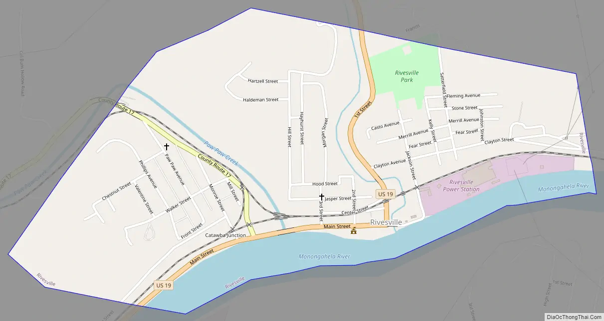
Rivesville city Satellite Map

Geography
Rivesville is located at 39°31′49″N 80°7′9″W / 39.53028°N 80.11917°W / 39.53028; -80.11917 (39.530276, -80.119063) in the heart of the Fairmont coal field on the north-west bank of the Monongahela River around its confluence with Paw Paw Creek.
According to the United States Census Bureau, the town has a total area of 0.59 square miles (1.53 km), of which 0.52 square miles (1.35 km) is land and 0.07 square miles (0.18 km) is water.
See also
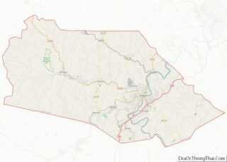
Map of West Virginia State and its subdivision:- Barbour
- Berkeley
- Boone
- Braxton
- Brooke
- Cabell
- Calhoun
- Clay
- Doddridge
- Fayette
- Gilmer
- Grant
- Greenbrier
- Hampshire
- Hancock
- Hardy
- Harrison
- Jackson
- Jefferson
- Kanawha
- Lewis
- Lincoln
- Logan
- Marion
- Marshall
- Mason
- McDowell
- Mercer
- Mineral
- Mingo
- Monongalia
- Monroe
- Morgan
- Nicholas
- Ohio
- Pendleton
- Pleasants
- Pocahontas
- Preston
- Putnam
- Raleigh
- Randolph
- Ritchie
- Roane
- Summers
- Taylor
- Tucker
- Tyler
- Upshur
- Wayne
- Webster
- Wetzel
- Wirt
- Wood
- Wyoming
- Alabama
- Alaska
- Arizona
- Arkansas
- California
- Colorado
- Connecticut
- Delaware
- District of Columbia
- Florida
- Georgia
- Hawaii
- Idaho
- Illinois
- Indiana
- Iowa
- Kansas
- Kentucky
- Louisiana
- Maine
- Maryland
- Massachusetts
- Michigan
- Minnesota
- Mississippi
- Missouri
- Montana
- Nebraska
- Nevada
- New Hampshire
- New Jersey
- New Mexico
- New York
- North Carolina
- North Dakota
- Ohio
- Oklahoma
- Oregon
- Pennsylvania
- Rhode Island
- South Carolina
- South Dakota
- Tennessee
- Texas
- Utah
- Vermont
- Virginia
- Washington
- West Virginia
- Wisconsin
- Wyoming