Shenandoah Junction is a census-designated place (CDP) in Jefferson County in the U.S. state of West Virginia‘s Eastern Panhandle. As of the 2010 census, Shenandoah Junction had a population of 703. It is located between Kearneysville and Charles Town off WV 9. Shenandoah Junction is home to Jefferson High School and West Virginia’s oldest surviving wood-frame structure, the Peter Burr House, built around 1751. The land where Shenandoah Junction was built was part of the 392 acres (1.59 km) granted by Lord Fairfax to Lewis Neil. The town was originally called Neil’s, but the name was changed to Shenandoah Junction in 1881.
The town owes much of its early growth to the coming of the Baltimore and Ohio Railroad in the 1830s, and the name refers to the junction of the B&O and Norfolk and Western Railway at the center of the community.
| Name: | Shenandoah Junction CDP |
|---|---|
| LSAD Code: | 57 |
| LSAD Description: | CDP (suffix) |
| State: | West Virginia |
| County: | Jefferson County |
| Total Area: | 1.013 sq mi (2.62 km²) |
| Land Area: | 1.013 sq mi (2.62 km²) |
| Water Area: | 0 sq mi (0 km²) |
| Total Population: | 703 |
| Population Density: | 690/sq mi (270/km²) |
| ZIP code: | 25442 |
| FIPS code: | 5473444 |
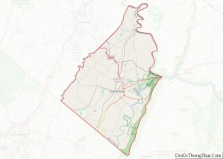
Online Interactive Map
Click on ![]() to view map in "full screen" mode.
to view map in "full screen" mode.
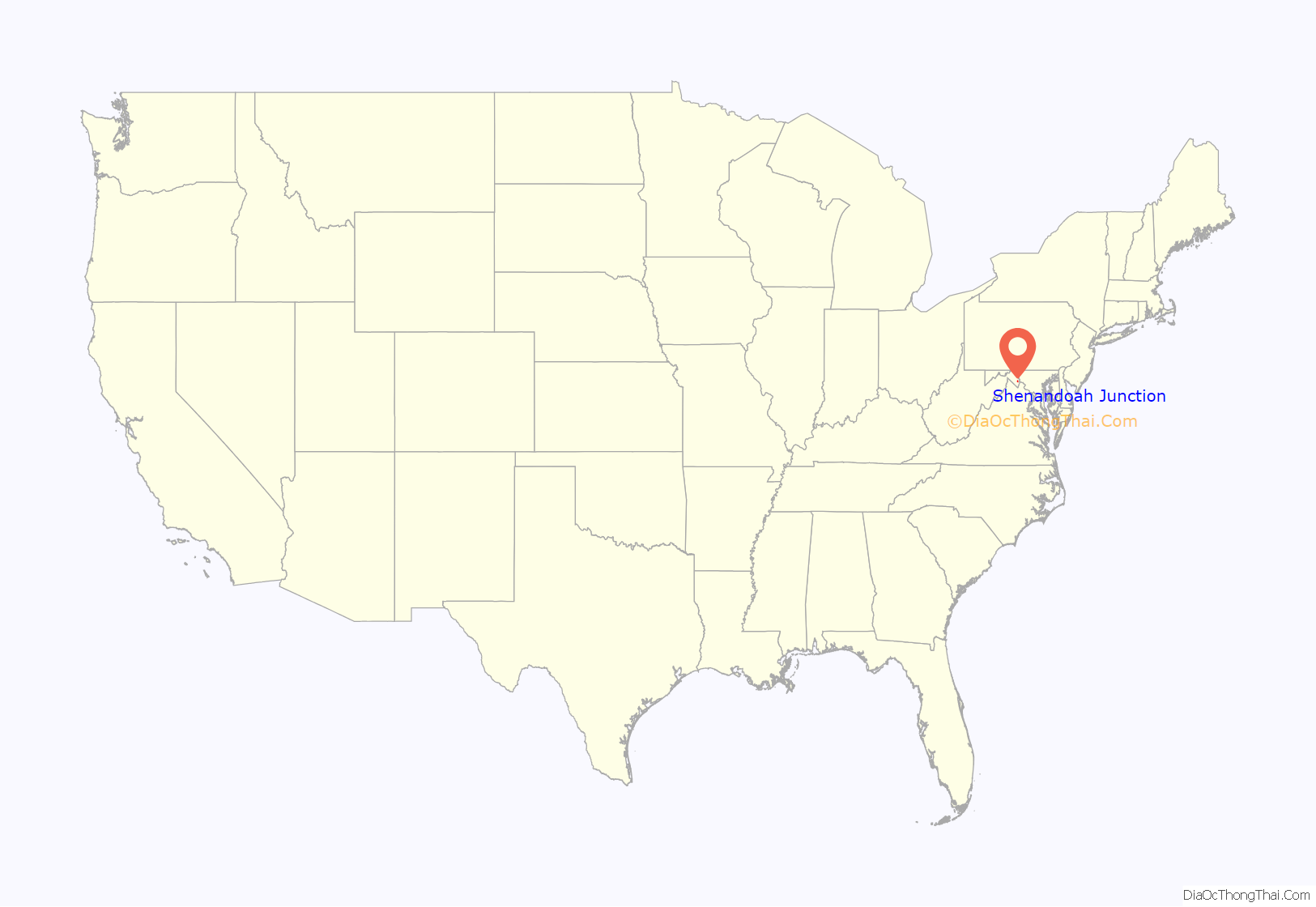
Shenandoah Junction location map. Where is Shenandoah Junction CDP?
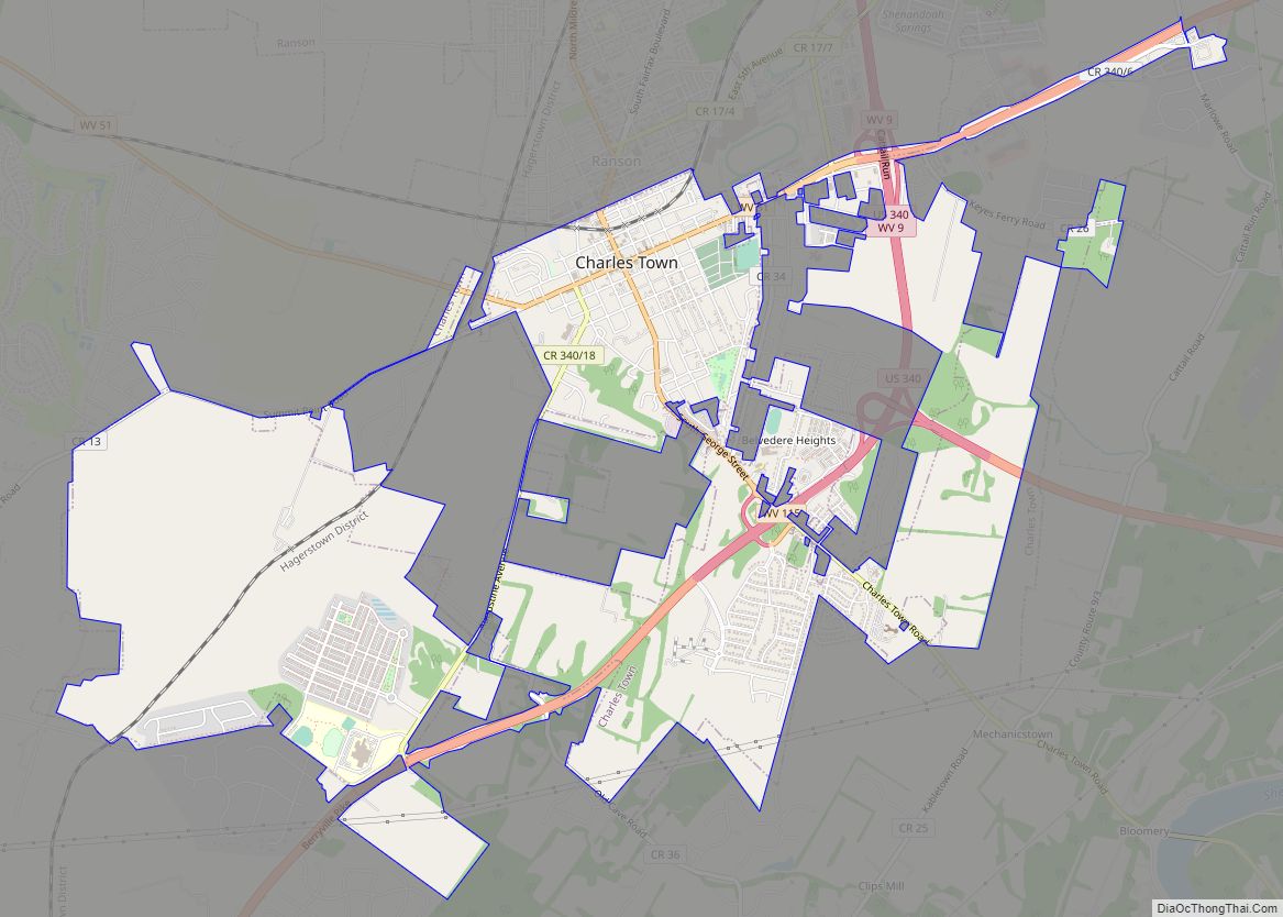
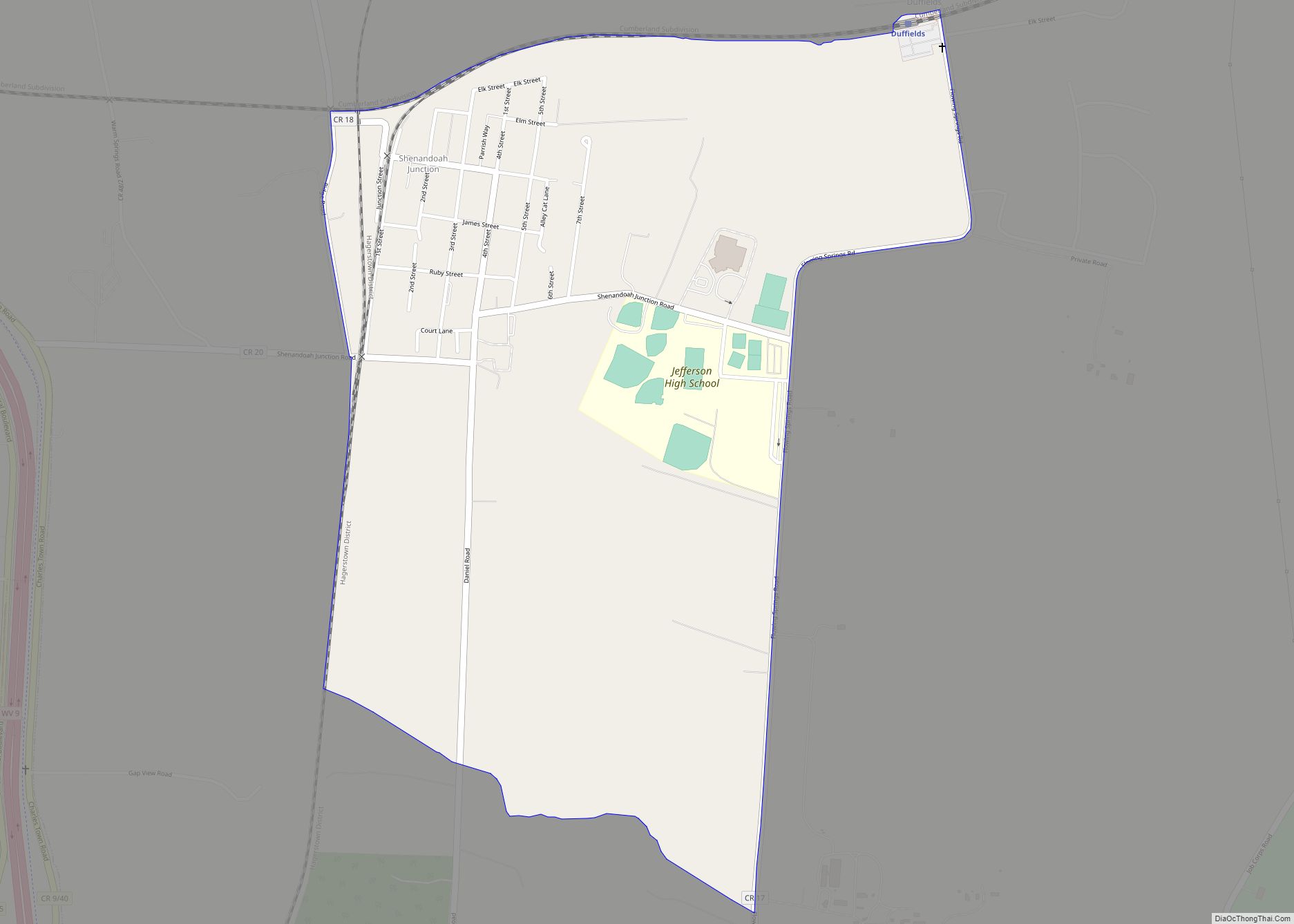
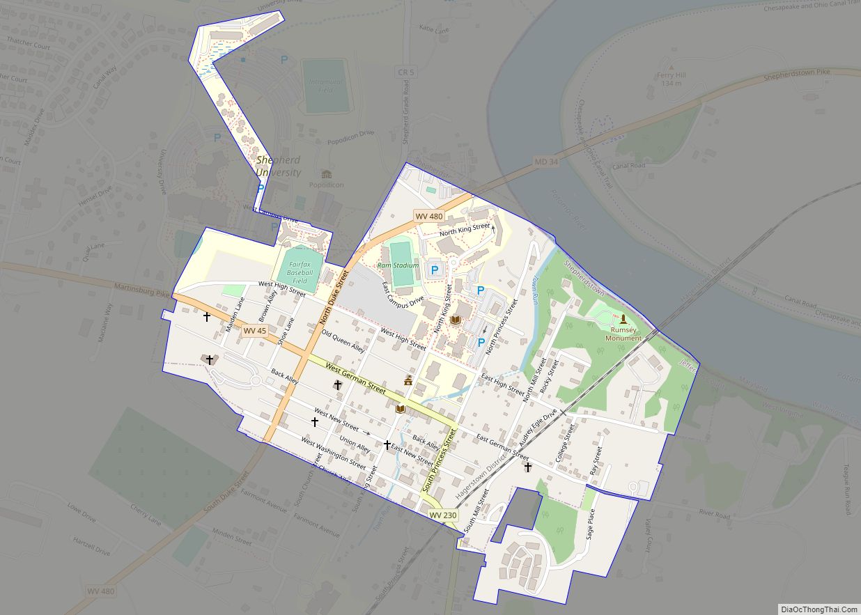
Shenandoah Junction Road Map
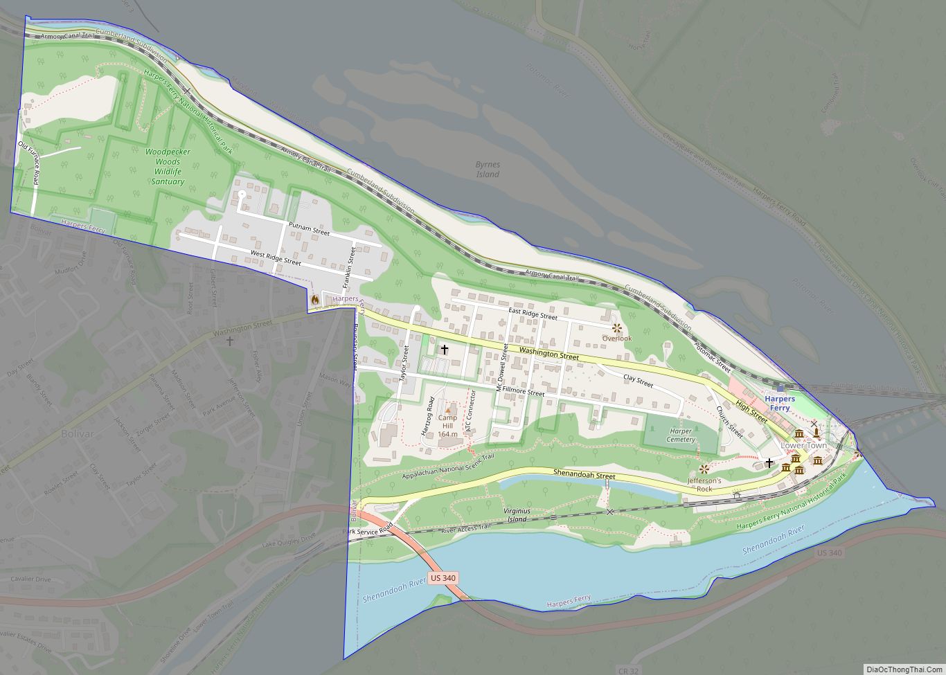
Shenandoah Junction city Satellite Map
See also
Map of West Virginia State and its subdivision:- Barbour
- Berkeley
- Boone
- Braxton
- Brooke
- Cabell
- Calhoun
- Clay
- Doddridge
- Fayette
- Gilmer
- Grant
- Greenbrier
- Hampshire
- Hancock
- Hardy
- Harrison
- Jackson
- Jefferson
- Kanawha
- Lewis
- Lincoln
- Logan
- Marion
- Marshall
- Mason
- McDowell
- Mercer
- Mineral
- Mingo
- Monongalia
- Monroe
- Morgan
- Nicholas
- Ohio
- Pendleton
- Pleasants
- Pocahontas
- Preston
- Putnam
- Raleigh
- Randolph
- Ritchie
- Roane
- Summers
- Taylor
- Tucker
- Tyler
- Upshur
- Wayne
- Webster
- Wetzel
- Wirt
- Wood
- Wyoming
- Alabama
- Alaska
- Arizona
- Arkansas
- California
- Colorado
- Connecticut
- Delaware
- District of Columbia
- Florida
- Georgia
- Hawaii
- Idaho
- Illinois
- Indiana
- Iowa
- Kansas
- Kentucky
- Louisiana
- Maine
- Maryland
- Massachusetts
- Michigan
- Minnesota
- Mississippi
- Missouri
- Montana
- Nebraska
- Nevada
- New Hampshire
- New Jersey
- New Mexico
- New York
- North Carolina
- North Dakota
- Ohio
- Oklahoma
- Oregon
- Pennsylvania
- Rhode Island
- South Carolina
- South Dakota
- Tennessee
- Texas
- Utah
- Vermont
- Virginia
- Washington
- West Virginia
- Wisconsin
- Wyoming
