Sistersville is a city in Tyler County, West Virginia, United States, along the Ohio River. The population was 1,413 at the 2020 census. The Sistersville Ferry crosses the Ohio River to the unincorporated community of Fly in Monroe County, Ohio.
| Name: | Sistersville city |
|---|---|
| LSAD Code: | 25 |
| LSAD Description: | city (suffix) |
| State: | West Virginia |
| County: | Tyler County |
| Elevation: | 650 ft (198 m) |
| Total Area: | 0.53 sq mi (1.36 km²) |
| Land Area: | 0.53 sq mi (1.36 km²) |
| Water Area: | 0.00 sq mi (0.00 km²) |
| Total Population: | 1,413 |
| Population Density: | 2,441.90/sq mi (942.21/km²) |
| ZIP code: | 26175 |
| Area code: | 304 |
| FIPS code: | 5474380 |
| GNISfeature ID: | 1552903 |
| Website: | www.cityofsistersville.com |
Online Interactive Map
Click on ![]() to view map in "full screen" mode.
to view map in "full screen" mode.
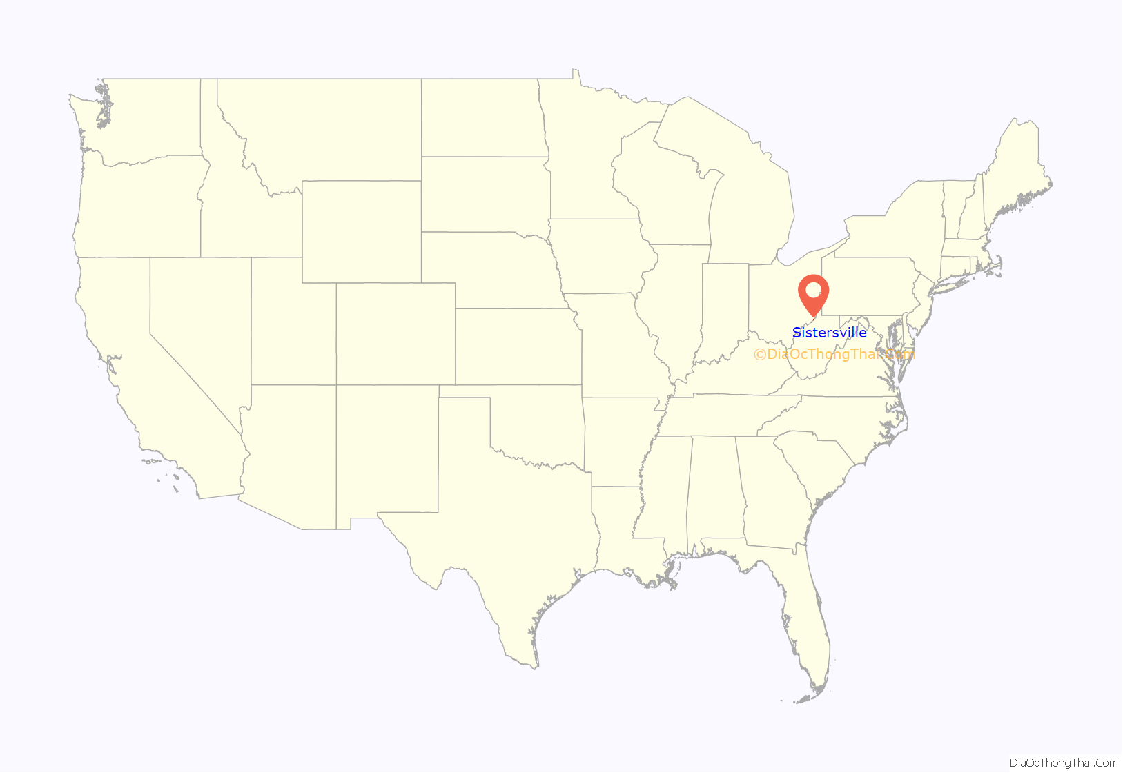
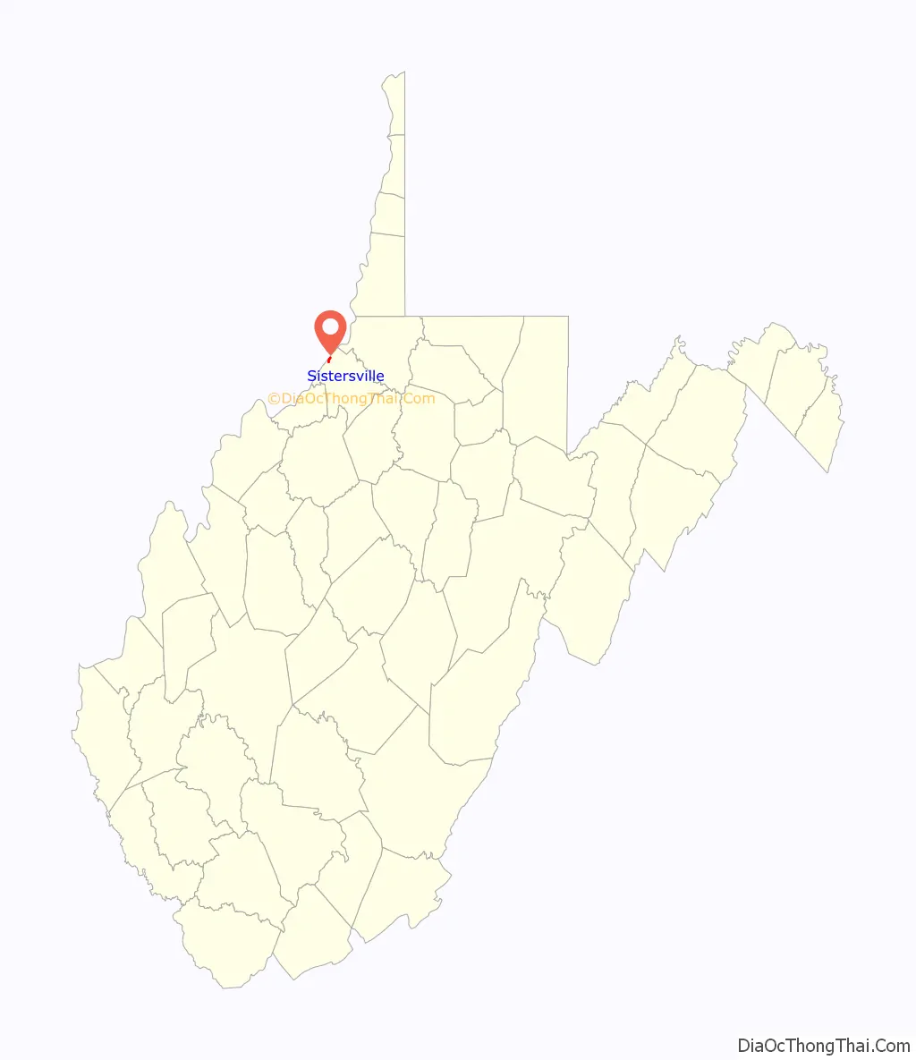
Sistersville location map. Where is Sistersville city?
History
Sistersville was named because two sisters, Sarah Wells McCoy and Delilah Wells Grier, inherited the land underlying the town from their father, pioneer Charles Wells, in 1815 and laid out the town. Wells had settled on the sandy bottomland with his second wife, Elizabeth Prather and many of his 22 children (Sarah and Delilah were the 12th and 17th; his first wife Michal Owings had died in 1783 after giving birth to 10 children). The site was called Wells Landing, Wella having previously founded Wellsville and Wellsburg along the Ohio River and having served in the Virginia legislature from Brooke County in 1793. The Virginia General Assembly created Tyler County in 1814, weeks before Wells’ death, and a court session was held at Wells’ house in Sistersville (“Welkin”) in 1815 (the plat having included lots for a courthouse and lawyers’ offices), but in 1816 voters selected Middlebourne, on Middle Island Creek about halfway between Pennsylvania and the Kanawha salt springs (and which incorporated in 1813) as the county seat. The Virginia General Assembly chartered Sistersville in 1839. By 1850, Sistersville had grain and wool carding mills. The ferry across the Ohio River which James Jolly had started decades earlier would still be operating in the 21st century. The Russell Building (built in 1840 as a ferry house) would survive many floods and later serve as a market and the offices of the Oil Review edited by J. Hanford McCoy.
Following the Virginia Secession Convention of 1861, Sistersville and Tyler County were divided, but leaned toward the Union (s did their militia group, the “Sistersville Blues”). Nonetheless, Confederate sympathizers seized militia equipment at Sistersville, including dozens of rifles and two small cannons, and the Ohio militiamen sent to protect Parkersburg took more than a month to recover them. Judge Abraham Soper, a New York lawyer and New Jersey judge who had moved to Sisterville in 1847, became Tyler County’s representative to the Wheeling Convention and the West Virginia Constitutional Convention of 1862–1863. Fellow delegates elected him their President for the reconvened session of February 1863 (because Congress required the new state’s constitution to contain an antislavery provision, which President Abraham Lincoln approved in December 1862). On March 26, voters overwhelmingly ratified the new Constitution (28,321 to 572), so President Lincoln soon acknowledged the revision as adequate thus creating the state of West Virginia. When West Virginia’s first legislature divided Tyler County in to districts in 1863, Sistersville was in the Lincoln District.
For years, many believed that oil and natural gas was under Sistersville, because natural gas and salt water had been bubbling up in Burning Springs since before 1836 (in what became Wirt County and development there became an oil boom beginning in 1860). However, the drill Philo Stocking used in 1865 became stuck before it reached oil, but he made sure to retain oil and gas rights to land he sold, which later made him rich. The large Sistersville Oil Field was only confirmed in 1891, with the “Joshua Russell Pole Cat No. 1”, successfully drilled by Russell and Edward Paden near Pole Cat creek after they drained salt water for a year. The find proved one of the more productive wells in the field, still producing oil (some refined as gasoline) in 1925. The find occurred as the oil fields in Oil City, Pennsylvania (developed beginning 1861) were running dry and technology had progressed to drain the initial water cap above the oil. Within a few years, Sistersville had ballooned into a city of 15,000 people. In 1893, Sisterville (briefly) was the “oil capital of the world”. Unlike some of the Pennsylvania boom towns which became ghost towns, Sistersville invested in infrastructure, and the railroad had arrived in 1884. A spur connected Sistersville to the county seat at Middlebourne.
A disastrous flood of the Ohio River in 1913 (which crested at 51.5 feet at Wheeling upriver and 69.9 feet downriver at Cincinnati) caused considerable damage in Sistersville, Otherwise, the disasters Sistersville faced usually involved fire, long before a 1970 fire that destroyed a historic downtown block. Sistersville long had several fire brigades or pumping companies. A gasoline plant was built at the oil field and in 1911 the Carter Oil company built the world’s largest gasoline print south of SIstersville, which had an explosion in 1913 but rebuilt, such that the American Petroleum Institute cited for its gas development work in 1925. Sistersville took pride in Tyler High School graduate Cecil H. Underwood (1922- 2008) who at age 22 represented the county in the House of Delegates, and became the youngest-ever West Virginia governor in 1956, then in 1996 was elected again and became the state’s oldest governor.
Historical sites
The Sistersville City Hall is a historic city hall building listed on the National Register of Historic Places. The City Hall is contributing property of the Sistersville Historic District.
Other listed historic properties in Sistersville include the Wells-Schaff House (a/k/a “Welkin” was built beginning in 1832 by Eli Wells, son of Charles Wells, who wanted a residence outside the flood plain, and expanded in 1896 and renovated circa 1935), the Wells Inn (opened 1895, built by Eli Wells’s son Ephraim who fostered local business development), the E. A. Durham House (built circa 1921 for oil executive E.A. Durham), and the Wells-Twyford House (built beginning 1854 by Eli Wells and owned by his heirs until acquired by the Twyford family, descended from Elizabeth Wells Archer, a different family than the Charles Wells descendants).
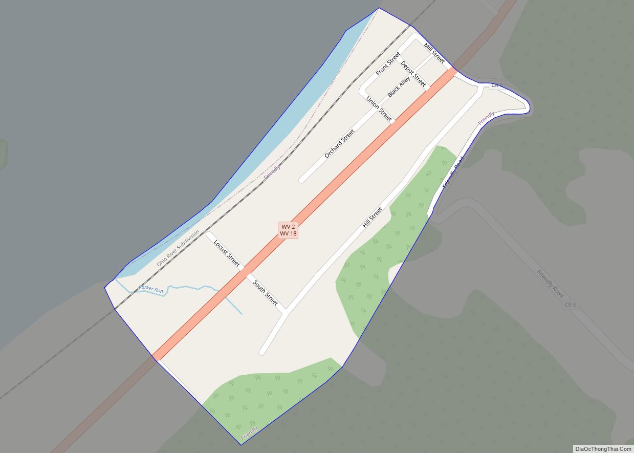
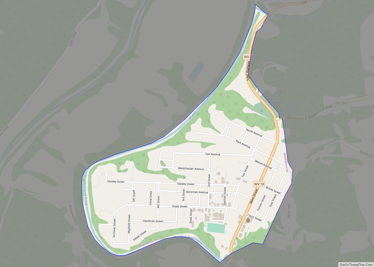
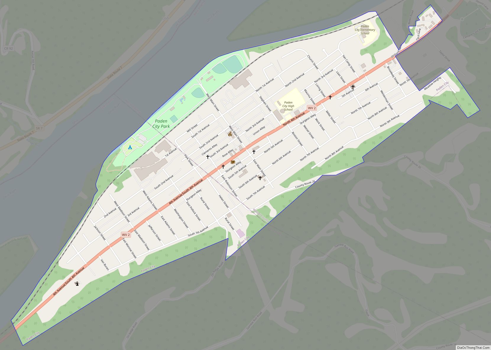
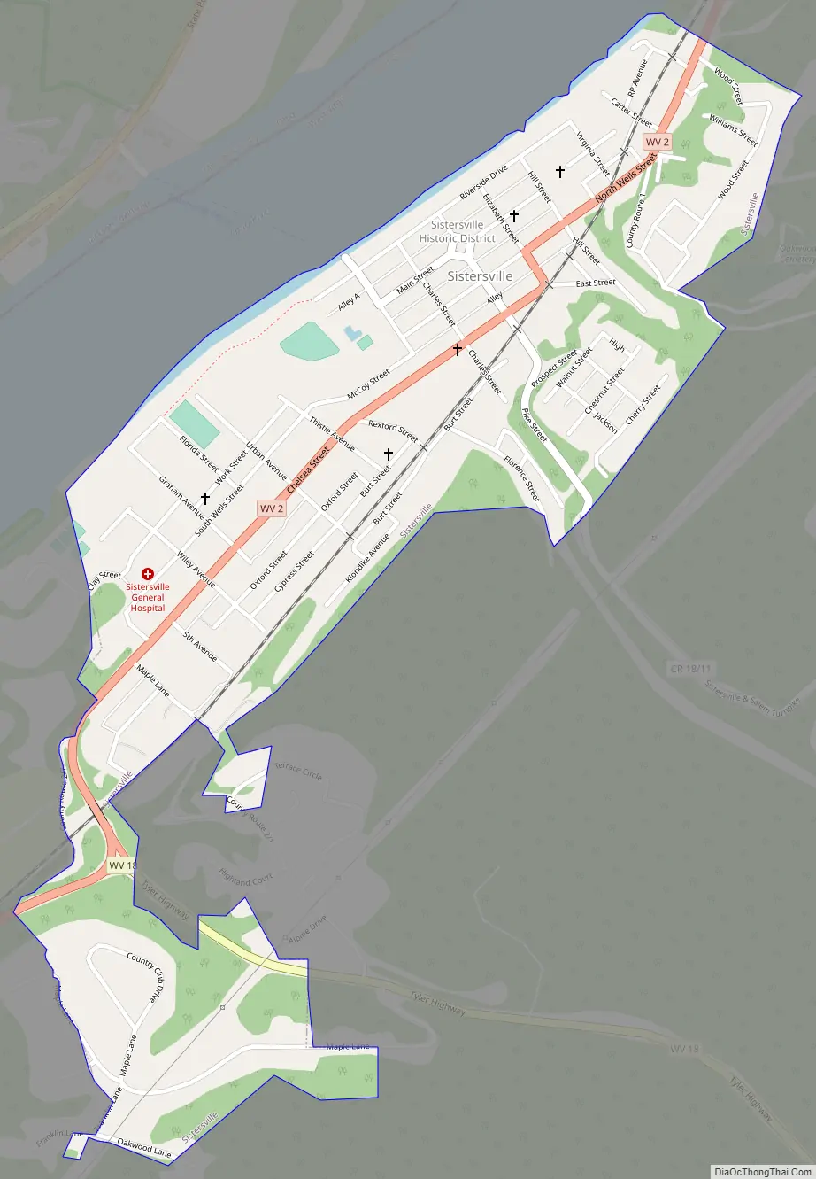
Sistersville Road Map
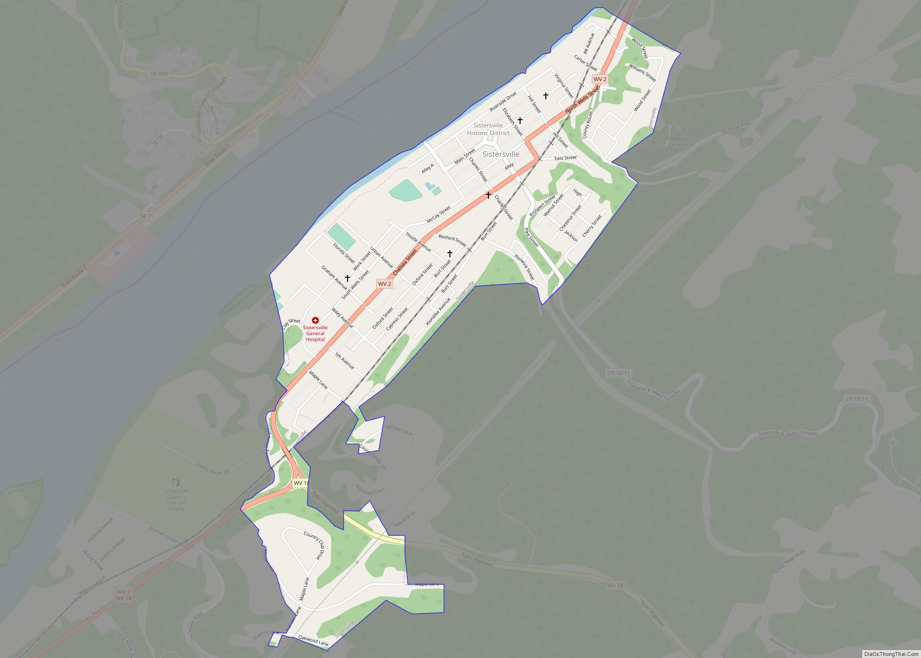
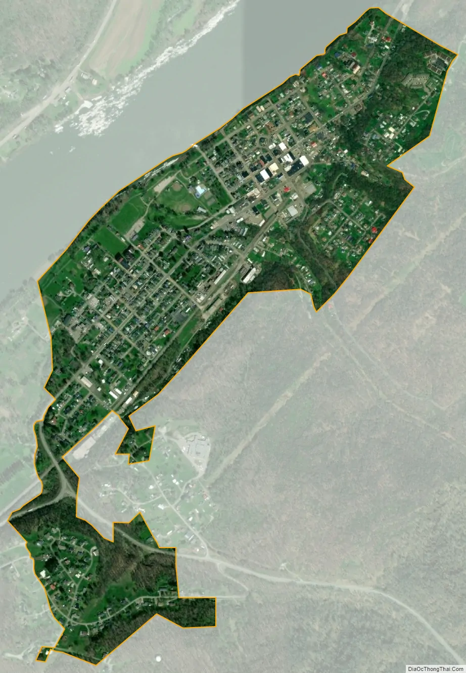
Sistersville city Satellite Map
Geography
Sistersville is located at 39°33′42″N 80°59′52″W / 39.56167°N 80.99778°W / 39.56167; -80.99778 (39.561615, -80.997791).
According to the United States Census Bureau, the city has a total area of 0.53 square miles (1.37 km), all land.
See also
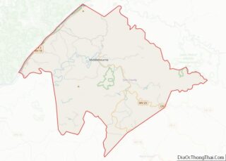
Map of West Virginia State and its subdivision:- Barbour
- Berkeley
- Boone
- Braxton
- Brooke
- Cabell
- Calhoun
- Clay
- Doddridge
- Fayette
- Gilmer
- Grant
- Greenbrier
- Hampshire
- Hancock
- Hardy
- Harrison
- Jackson
- Jefferson
- Kanawha
- Lewis
- Lincoln
- Logan
- Marion
- Marshall
- Mason
- McDowell
- Mercer
- Mineral
- Mingo
- Monongalia
- Monroe
- Morgan
- Nicholas
- Ohio
- Pendleton
- Pleasants
- Pocahontas
- Preston
- Putnam
- Raleigh
- Randolph
- Ritchie
- Roane
- Summers
- Taylor
- Tucker
- Tyler
- Upshur
- Wayne
- Webster
- Wetzel
- Wirt
- Wood
- Wyoming
- Alabama
- Alaska
- Arizona
- Arkansas
- California
- Colorado
- Connecticut
- Delaware
- District of Columbia
- Florida
- Georgia
- Hawaii
- Idaho
- Illinois
- Indiana
- Iowa
- Kansas
- Kentucky
- Louisiana
- Maine
- Maryland
- Massachusetts
- Michigan
- Minnesota
- Mississippi
- Missouri
- Montana
- Nebraska
- Nevada
- New Hampshire
- New Jersey
- New Mexico
- New York
- North Carolina
- North Dakota
- Ohio
- Oklahoma
- Oregon
- Pennsylvania
- Rhode Island
- South Carolina
- South Dakota
- Tennessee
- Texas
- Utah
- Vermont
- Virginia
- Washington
- West Virginia
- Wisconsin
- Wyoming