Thurmond is a town in Fayette County, West Virginia, United States, on the New River. The population was five at the 2020 census. During the heyday of coal mining in the New River Gorge, Thurmond was a prosperous town with a number of businesses and facilities for the Chesapeake and Ohio Railway.
Most of Thurmond is owned by the National Park Service for the New River Gorge National Park and Preserve. The C&O passenger railway depot in town was renovated in 1995 and now functions as a Park Service visitor center. The entire town is a designated historic district on the National Register of Historic Places.
Thurmond is the least-populous municipality in West Virginia. During the June 14, 2005 city elections six of the city’s seven residents sought elected office.
| Name: | Thurmond town |
|---|---|
| LSAD Code: | 43 |
| LSAD Description: | town (suffix) |
| State: | West Virginia |
| County: | Fayette County |
| Elevation: | 1,070 ft (326 m) |
| Total Area: | 0.09 sq mi (0.24 km²) |
| Land Area: | 0.09 sq mi (0.24 km²) |
| Water Area: | 0.00 sq mi (0.00 km²) |
| Total Population: | 5 |
| Population Density: | 42.55/sq mi (16.38/km²) |
| ZIP code: | 25936 |
| Area code: | 304/681 |
| FIPS code: | 5480284 |
| GNISfeature ID: | 1555811 |
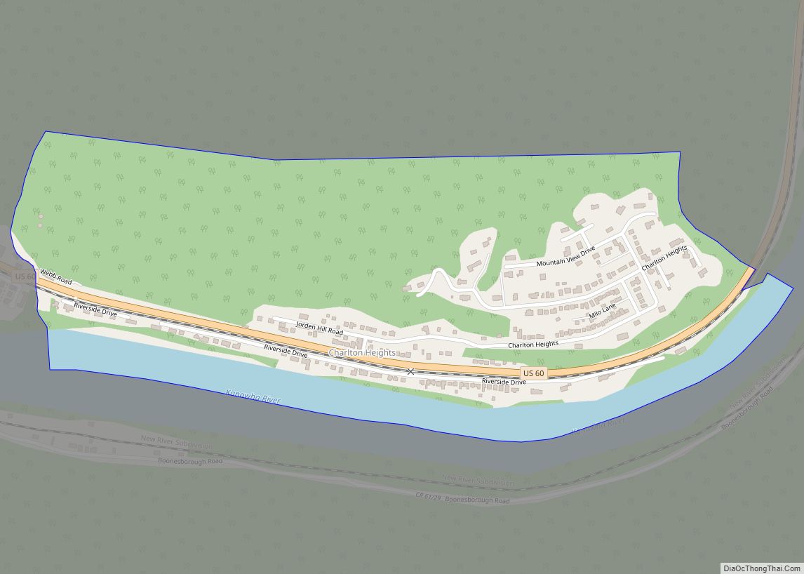
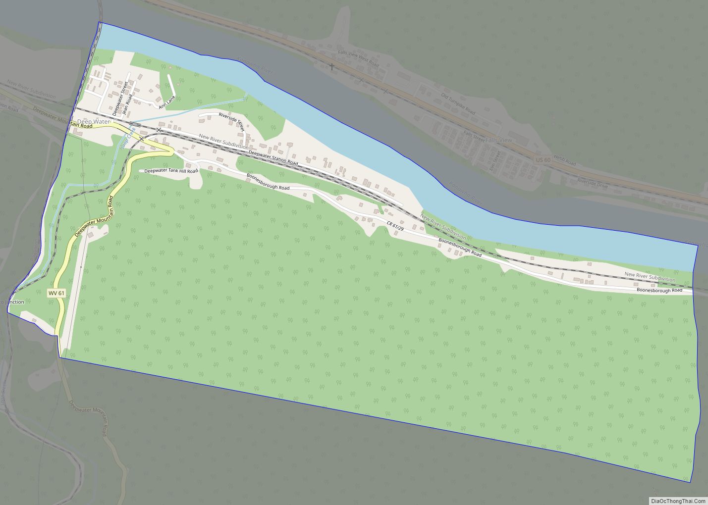
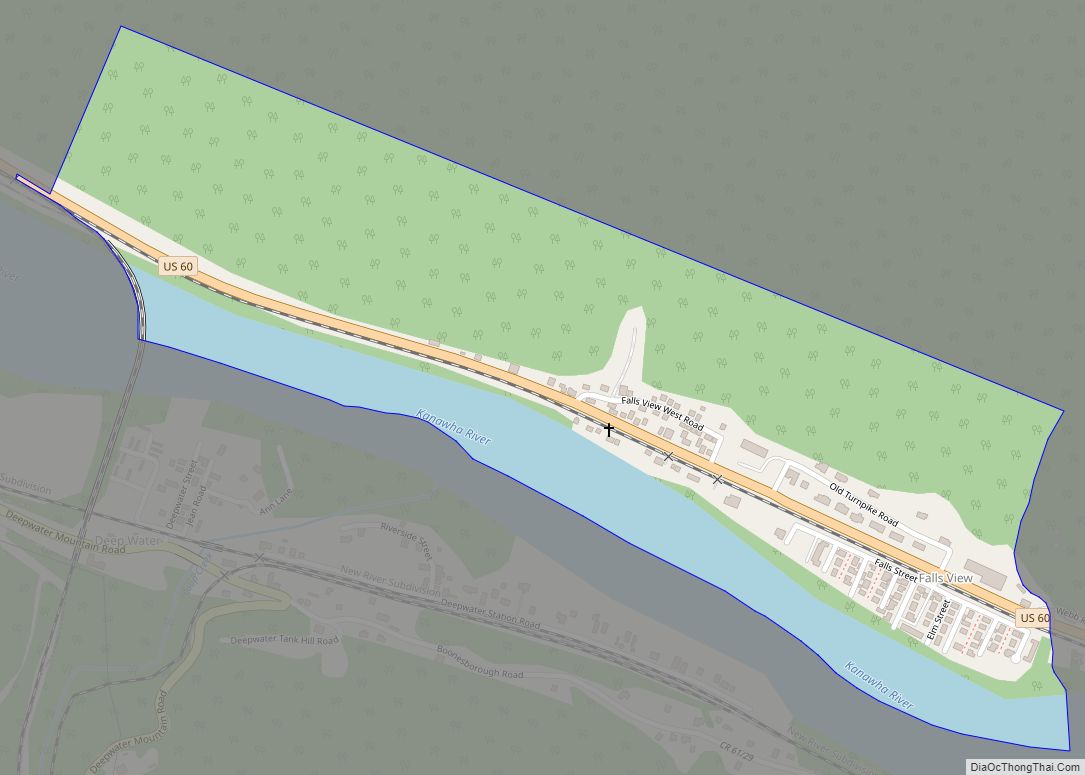
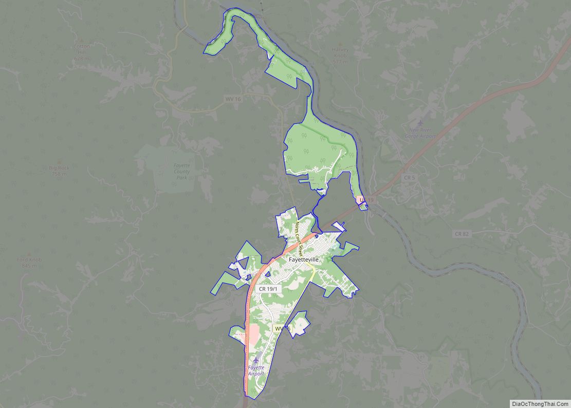
Online Interactive Map
Click on ![]() to view map in "full screen" mode.
to view map in "full screen" mode.
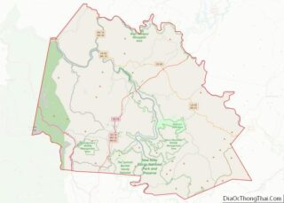
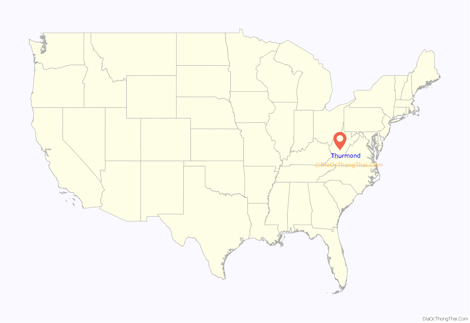
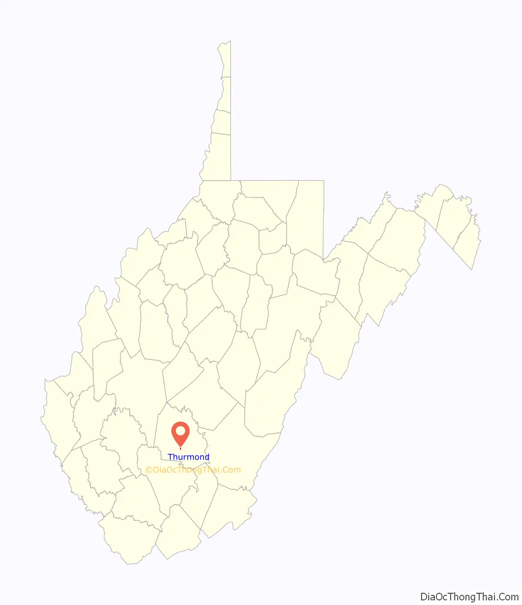
Thurmond location map. Where is Thurmond town?
History
Thurmond was incorporated in 1900 and was named for Captain W. D. Thurmond, who settled here in 1844. He received the 73-acre site in 1873 as payment for a surveying job. He served in the Confederate Army and died in 1910 at age 90. Thurmond post office was established in 1888 and discontinued in 1995. The community remained small until Thomas G McKell of Glen Jean negotiated with the Chesapeake and Ohio Railway for a crossing at Dunloup Creek in 1892.
W. D. Thurmond banned alcohol from his lands, which comprised the originally incorporated portion of the town. The Dun Glen Hotel was just outside the incorporated portion. A district called “Ballyhack” or “Balahack” on the south side near the Dun Glen became notorious as Thurmond’s red light district.
Two hotels were in the town; one was called the Lafayette (known locally as the “Lay-flat”), which was close to the railroad, and the 100-room Dun Glen, which opened in 1901, became a nationally known resort. It burned down in 1930, marking the beginning of a decline that had Thurmond a virtual ghost town by the 1950s. The Thurmond National Bank (owned by Thurmond) closed in 1931, and the New River Bank (owned by the McKells) moved to Oak Hill in 1935.
Thurmond Road Map
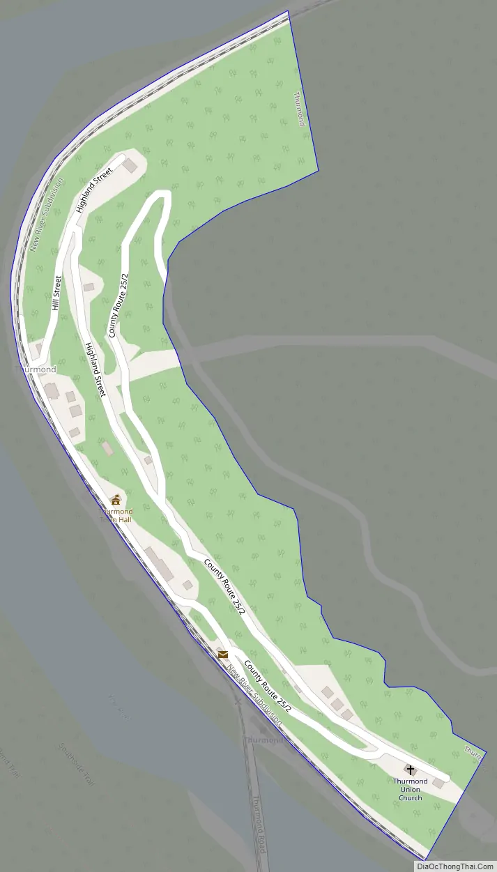
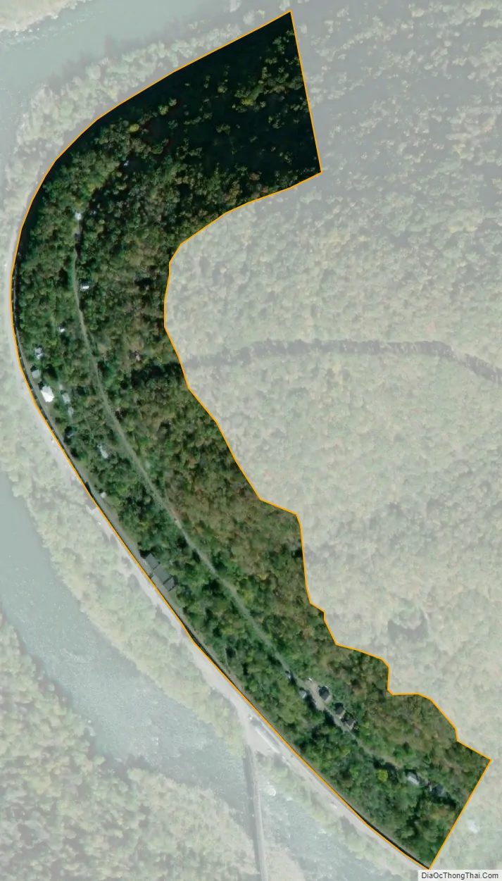
Thurmond city Satellite Map
Geography
Thurmond’s level land is almost entirely consumed by CSX (formerly the Chesapeake and Ohio Railway) operations. Apart from a strip of commercial buildings that front directly onto the train tracks with no intervening street, the remainder of the town climbs the hill behind the bottomland. Thurmond was an important switching center for the C&O, a place where short trains from mines in the area were assembled into longer trains for shipment to markets on the main line.
See also
Map of West Virginia State and its subdivision:- Barbour
- Berkeley
- Boone
- Braxton
- Brooke
- Cabell
- Calhoun
- Clay
- Doddridge
- Fayette
- Gilmer
- Grant
- Greenbrier
- Hampshire
- Hancock
- Hardy
- Harrison
- Jackson
- Jefferson
- Kanawha
- Lewis
- Lincoln
- Logan
- Marion
- Marshall
- Mason
- McDowell
- Mercer
- Mineral
- Mingo
- Monongalia
- Monroe
- Morgan
- Nicholas
- Ohio
- Pendleton
- Pleasants
- Pocahontas
- Preston
- Putnam
- Raleigh
- Randolph
- Ritchie
- Roane
- Summers
- Taylor
- Tucker
- Tyler
- Upshur
- Wayne
- Webster
- Wetzel
- Wirt
- Wood
- Wyoming
- Alabama
- Alaska
- Arizona
- Arkansas
- California
- Colorado
- Connecticut
- Delaware
- District of Columbia
- Florida
- Georgia
- Hawaii
- Idaho
- Illinois
- Indiana
- Iowa
- Kansas
- Kentucky
- Louisiana
- Maine
- Maryland
- Massachusetts
- Michigan
- Minnesota
- Mississippi
- Missouri
- Montana
- Nebraska
- Nevada
- New Hampshire
- New Jersey
- New Mexico
- New York
- North Carolina
- North Dakota
- Ohio
- Oklahoma
- Oregon
- Pennsylvania
- Rhode Island
- South Carolina
- South Dakota
- Tennessee
- Texas
- Utah
- Vermont
- Virginia
- Washington
- West Virginia
- Wisconsin
- Wyoming