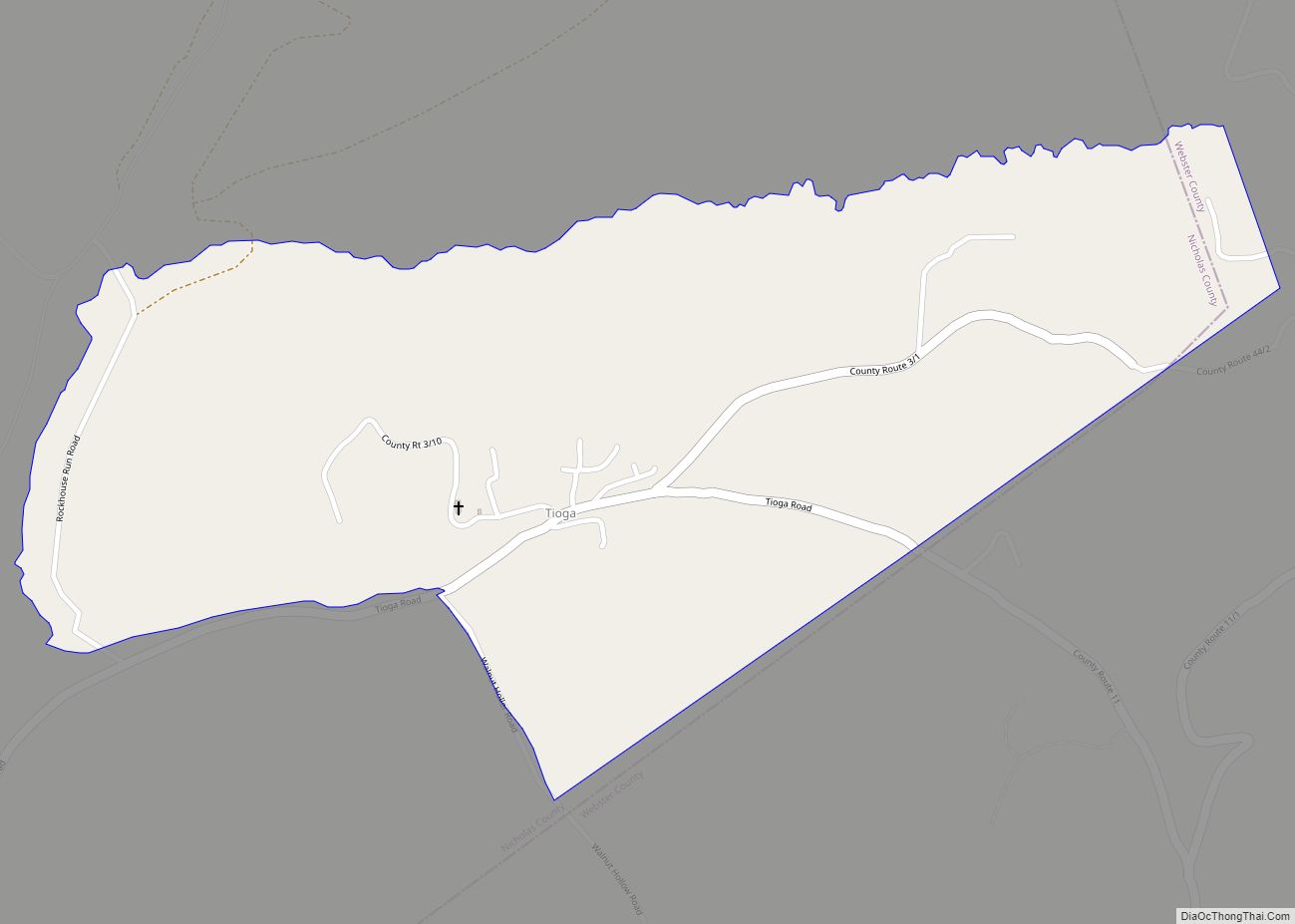
Tioga is a census-designated place (CDP) in northeastern Nicholas County, West Virginia, United States. As of the 2010 census, its population was 98. The town is located along a road alternatively called Tioga Road (County Route 3) in Nicholas County and Strouds Creek Road (County Route 11) in Webster County. The road can be accessed from West Virginia Route 20 in Allingdale and West Virginia Route 55 near Craigsville.
The community was named after Tioga County, Pennsylvania, the native home of several local lumbermen.
| Name: | Tioga CDP |
|---|---|
| LSAD Code: | 57 |
| LSAD Description: | CDP (suffix) |
| State: | West Virginia |
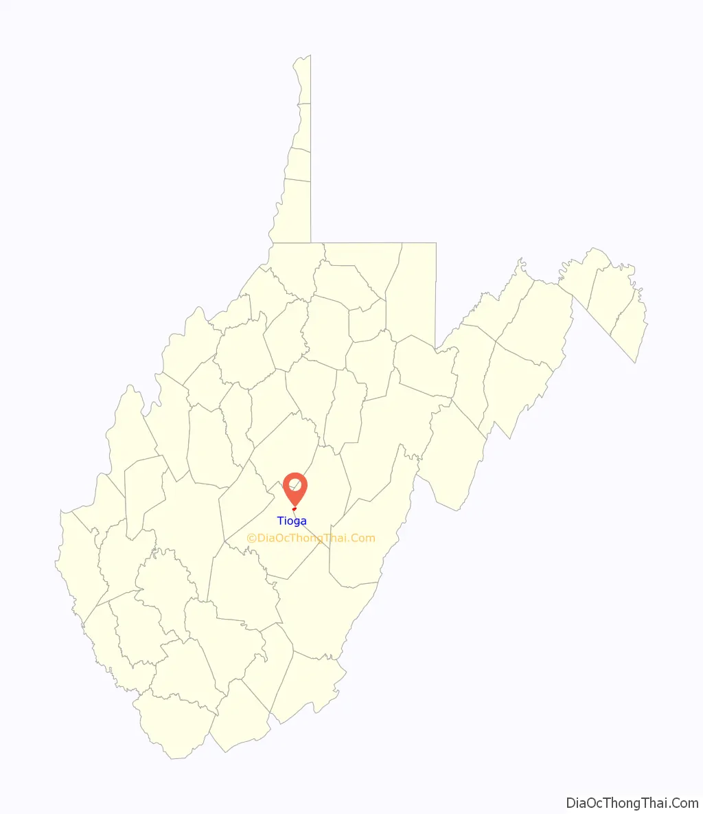
| County: | Nicholas County |
| Total Area: | 0.621 sq mi (1.61 km²) |
| Land Area: | 0.621 sq mi (1.61 km²) |
| Water Area: | 0 sq mi (0 km²) |
| Total Population: | 98 |
| Population Density: | 160/sq mi (61/km²) |
| FIPS code: | 5480476 |
Online Interactive Map
Click on ![]() to view map in "full screen" mode.
to view map in "full screen" mode.
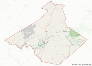
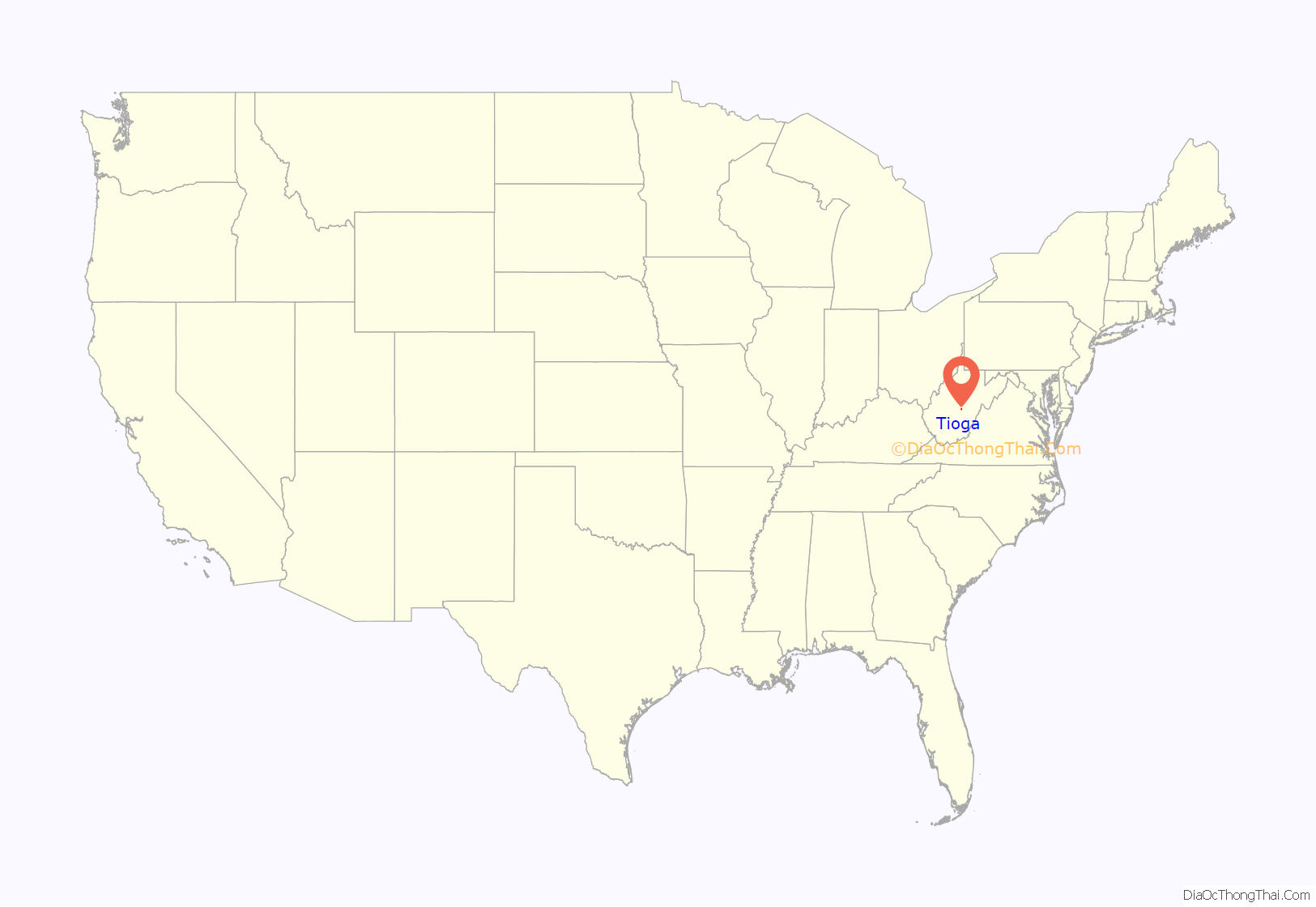
Tioga location map. Where is Tioga CDP?
Tioga Road Map
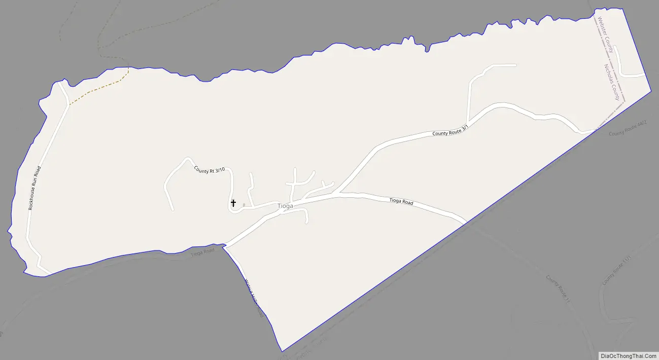
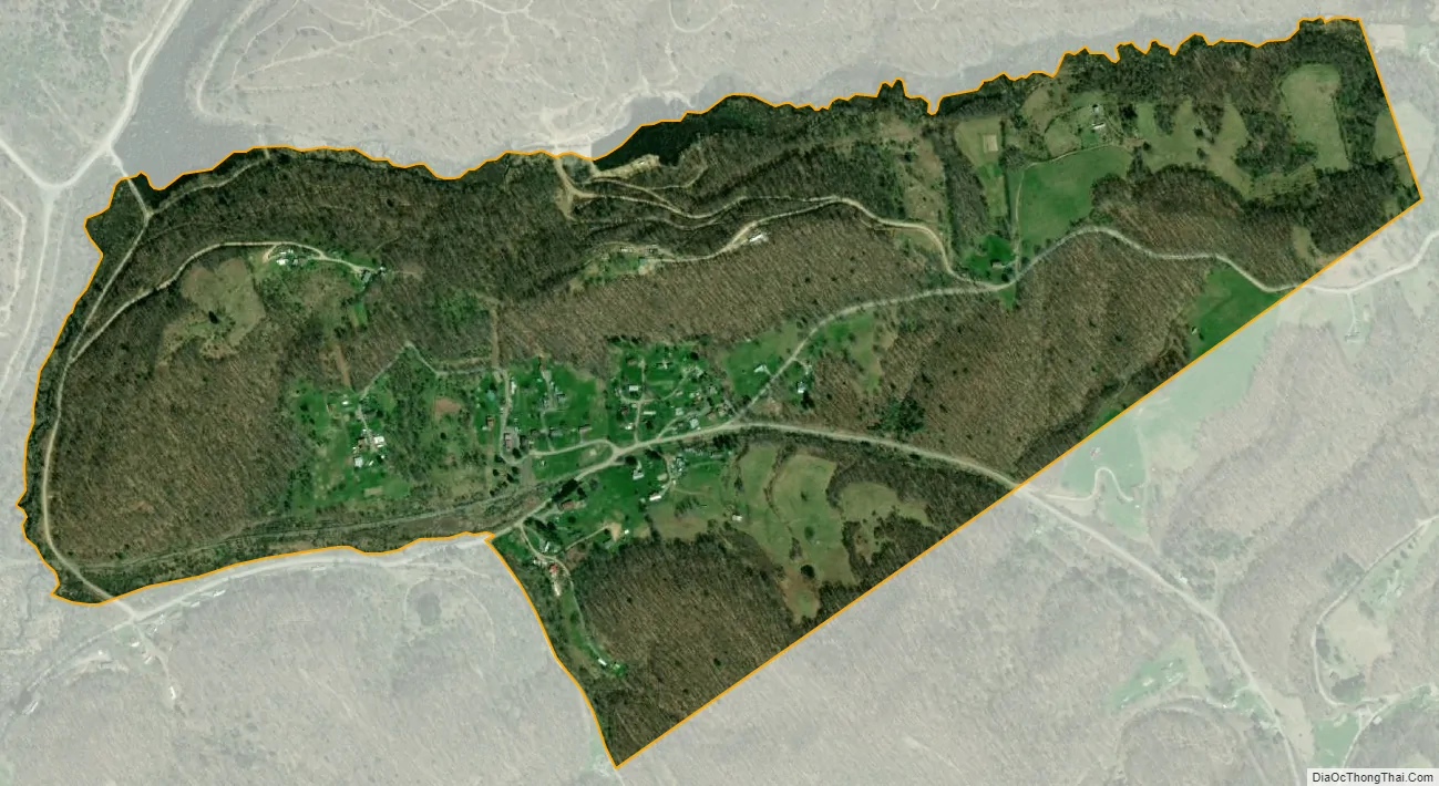
Tioga city Satellite Map
See also
Map of West Virginia State and its subdivision:- Barbour
- Berkeley
- Boone
- Braxton
- Brooke
- Cabell
- Calhoun
- Clay
- Doddridge
- Fayette
- Gilmer
- Grant
- Greenbrier
- Hampshire
- Hancock
- Hardy
- Harrison
- Jackson
- Jefferson
- Kanawha
- Lewis
- Lincoln
- Logan
- Marion
- Marshall
- Mason
- McDowell
- Mercer
- Mineral
- Mingo
- Monongalia
- Monroe
- Morgan
- Nicholas
- Ohio
- Pendleton
- Pleasants
- Pocahontas
- Preston
- Putnam
- Raleigh
- Randolph
- Ritchie
- Roane
- Summers
- Taylor
- Tucker
- Tyler
- Upshur
- Wayne
- Webster
- Wetzel
- Wirt
- Wood
- Wyoming
- Alabama
- Alaska
- Arizona
- Arkansas
- California
- Colorado
- Connecticut
- Delaware
- District of Columbia
- Florida
- Georgia
- Hawaii
- Idaho
- Illinois
- Indiana
- Iowa
- Kansas
- Kentucky
- Louisiana
- Maine
- Maryland
- Massachusetts
- Michigan
- Minnesota
- Mississippi
- Missouri
- Montana
- Nebraska
- Nevada
- New Hampshire
- New Jersey
- New Mexico
- New York
- North Carolina
- North Dakota
- Ohio
- Oklahoma
- Oregon
- Pennsylvania
- Rhode Island
- South Carolina
- South Dakota
- Tennessee
- Texas
- Utah
- Vermont
- Virginia
- Washington
- West Virginia
- Wisconsin
- Wyoming