War is a city in McDowell County, West Virginia, United States. The population was 690 at the 2020 census. War was incorporated in 1920 by the Circuit Court of McDowell County. Its name is derived from War Creek, whose confluence with Dry Fork is located within the city. War is the only place in the United States with this name. War was formerly known as Miner’s City. It is also known for being a setting in the movie October Sky; as writer Homer Hickam’s Big Creek High School.
| Name: | War city |
|---|---|
| LSAD Code: | 25 |
| LSAD Description: | city (suffix) |
| State: | West Virginia |
| County: | McDowell County |
| Elevation: | 1,342 ft (409 m) |
| Total Area: | 0.92 sq mi (2.38 km²) |
| Land Area: | 0.89 sq mi (2.31 km²) |
| Water Area: | 0.03 sq mi (0.08 km²) |
| Total Population: | 690 |
| Population Density: | 768.80/sq mi (296.85/km²) |
| ZIP code: | 24892 |
| Area code: | 304 |
| FIPS code: | 5484484 |
| GNISfeature ID: | 1555916 |
| Website: | www.warwestvirginia.com |
Online Interactive Map
Click on ![]() to view map in "full screen" mode.
to view map in "full screen" mode.
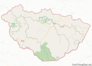
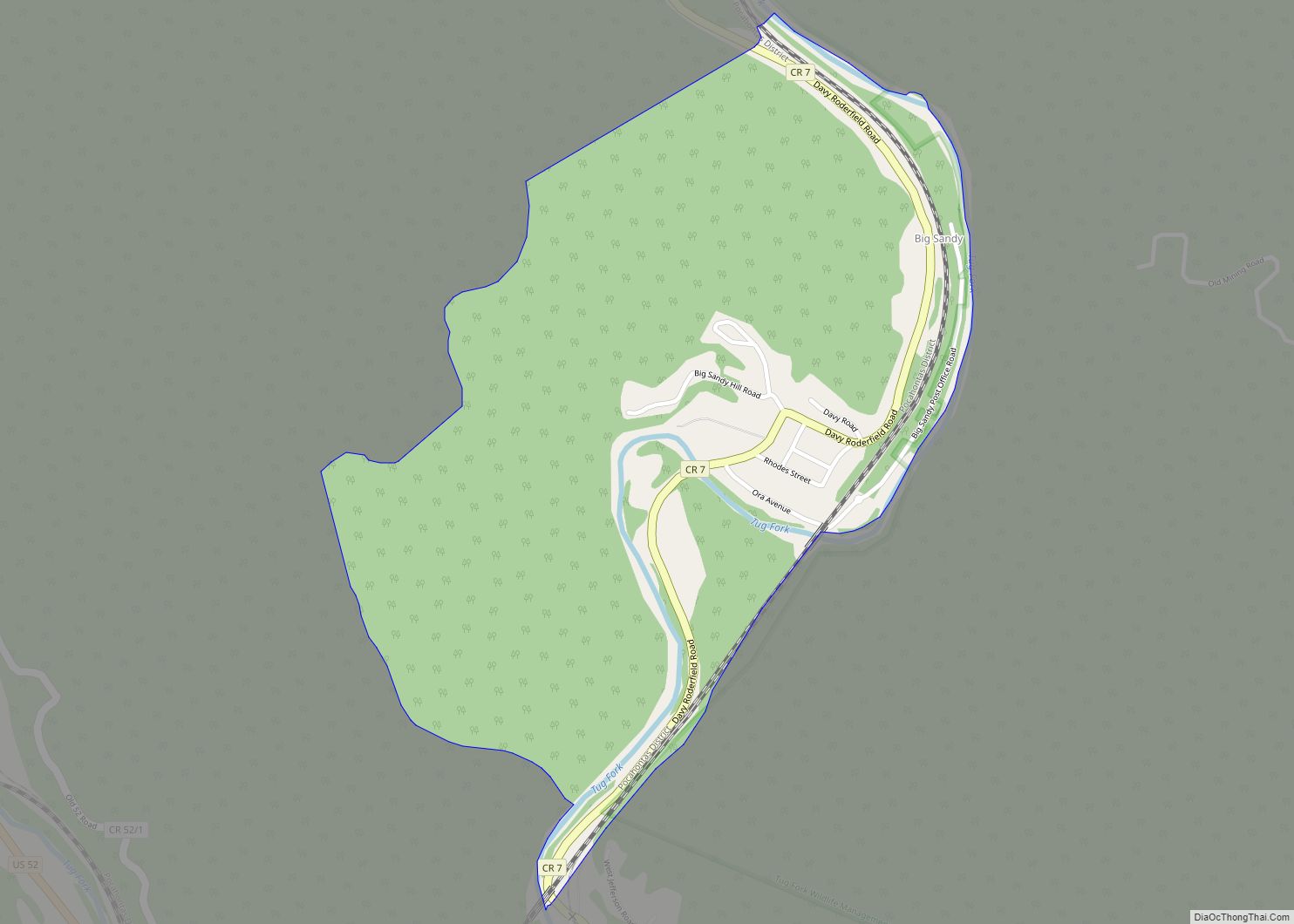
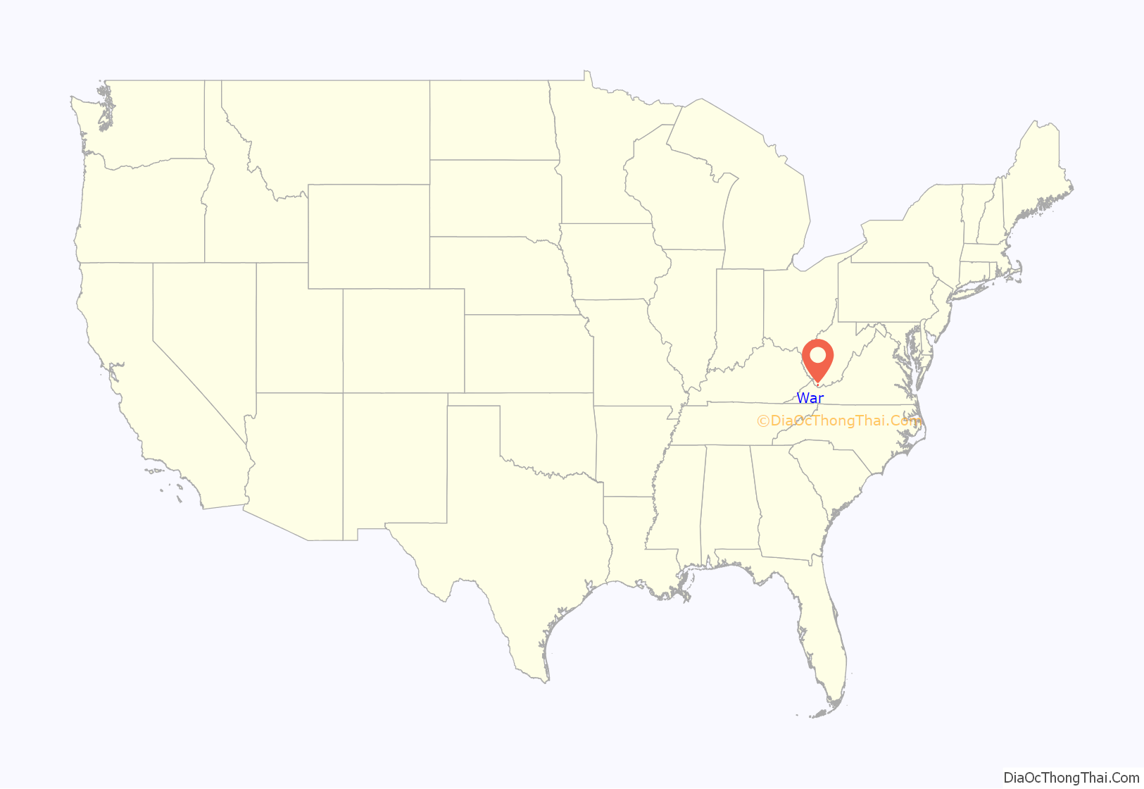
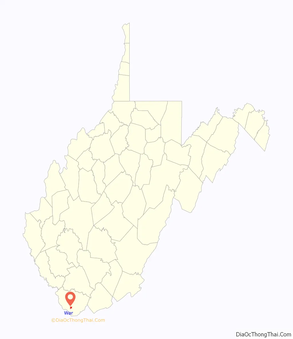
War location map. Where is War city?
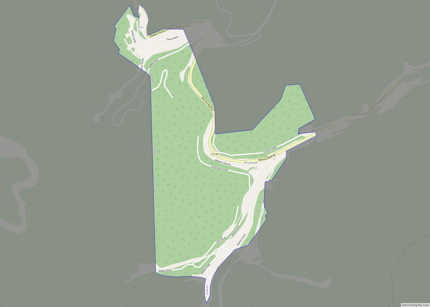
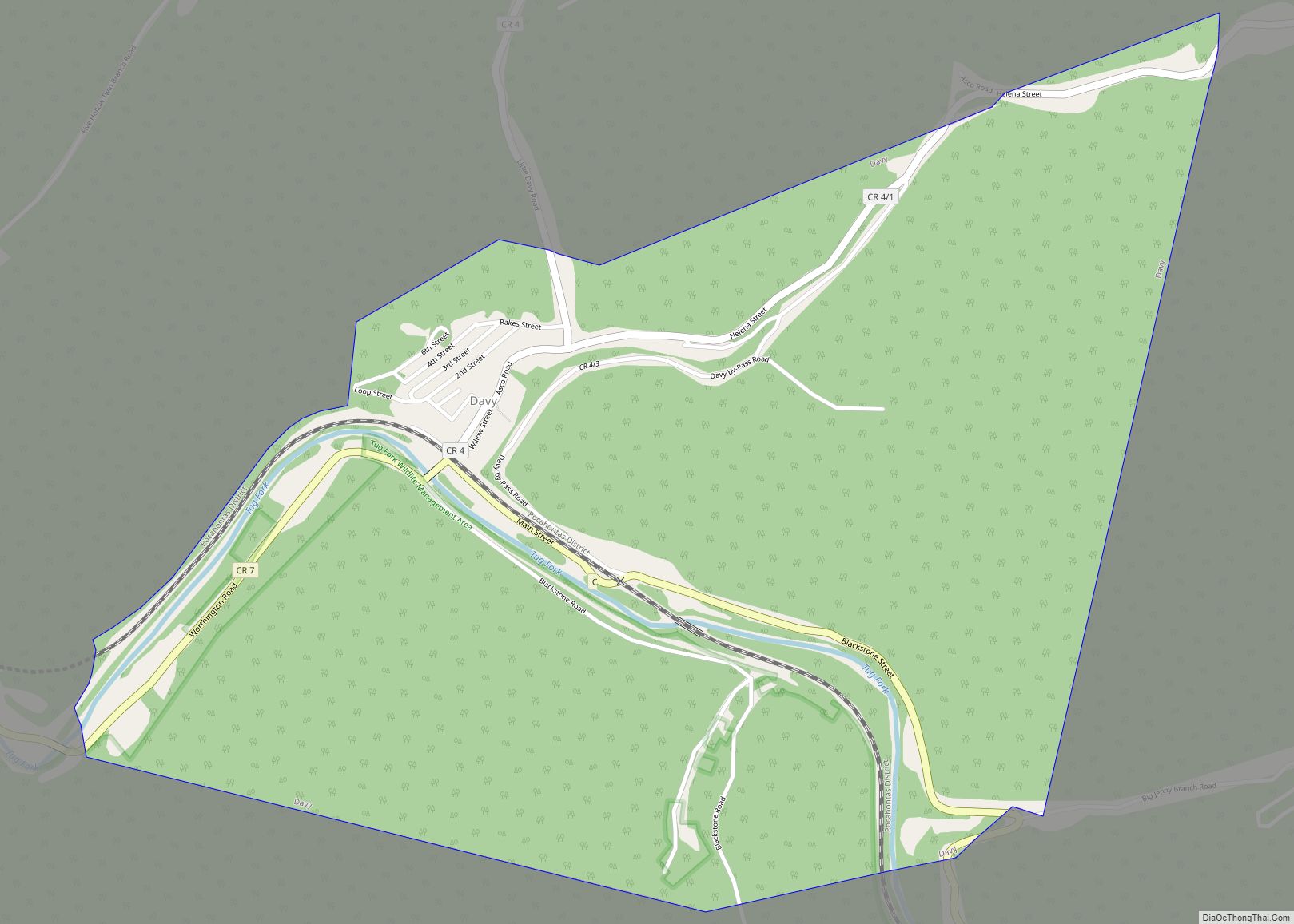
War Road Map

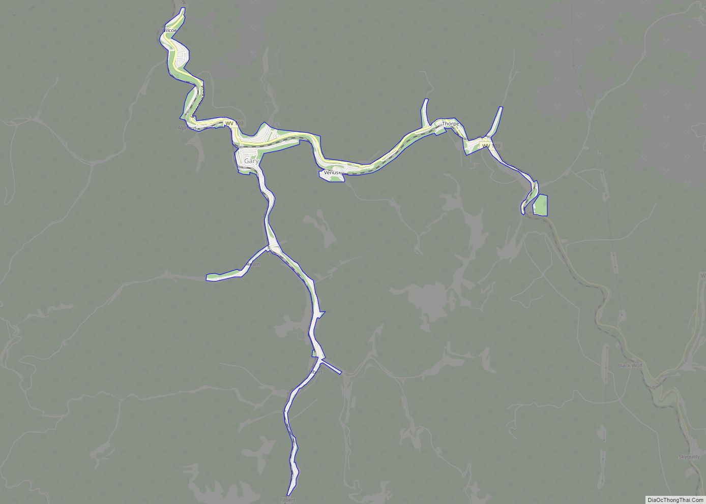
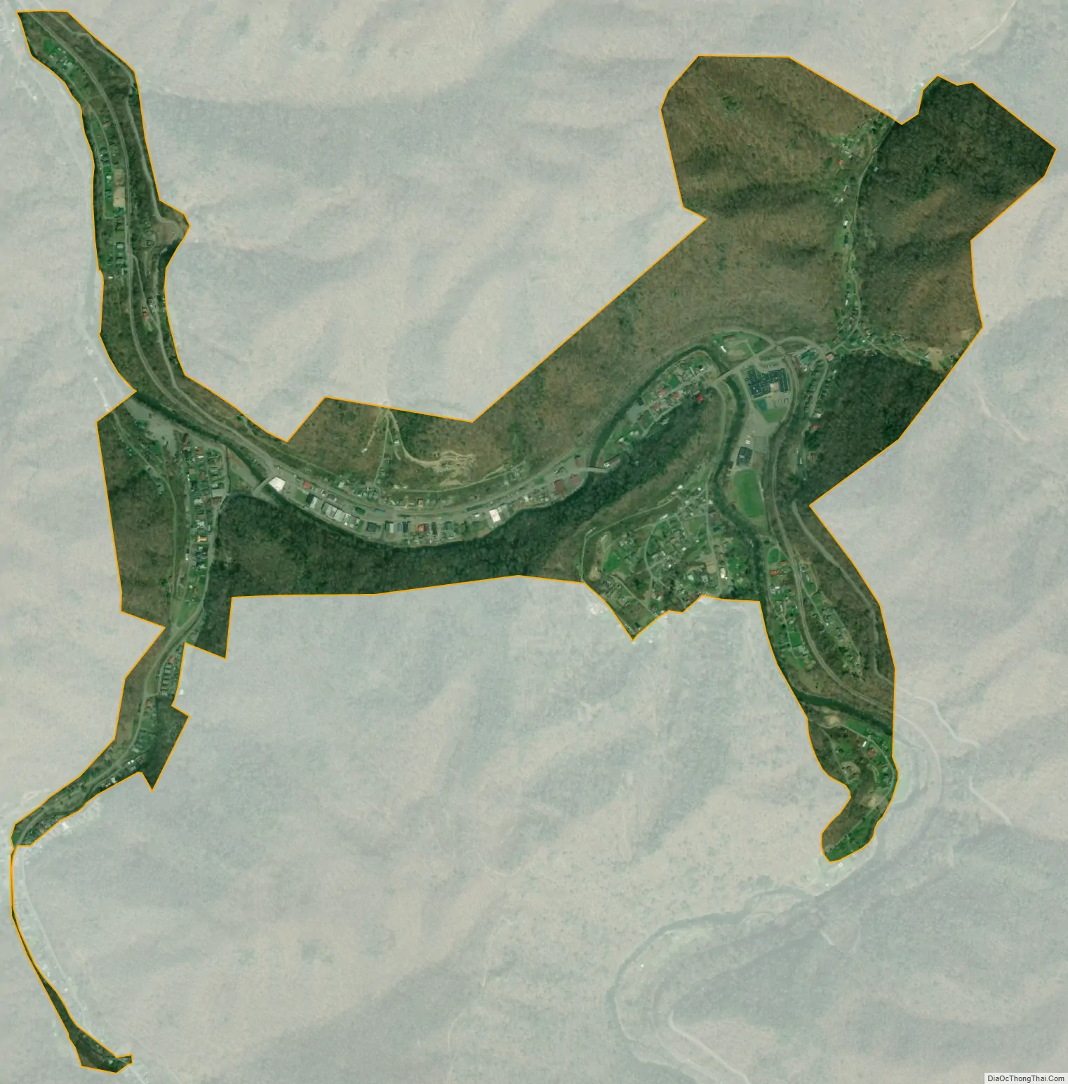
War city Satellite Map
Geography
According to the United States Census Bureau, the city has a total area of 0.92 square miles (2.38 km), of which 0.89 square miles (2.31 km) is land and 0.03 square miles (0.08 km) is water.
War had a railway station on the Norfolk Southern Railway (former Norfolk and Western)
See also
Map of West Virginia State and its subdivision:- Barbour
- Berkeley
- Boone
- Braxton
- Brooke
- Cabell
- Calhoun
- Clay
- Doddridge
- Fayette
- Gilmer
- Grant
- Greenbrier
- Hampshire
- Hancock
- Hardy
- Harrison
- Jackson
- Jefferson
- Kanawha
- Lewis
- Lincoln
- Logan
- Marion
- Marshall
- Mason
- McDowell
- Mercer
- Mineral
- Mingo
- Monongalia
- Monroe
- Morgan
- Nicholas
- Ohio
- Pendleton
- Pleasants
- Pocahontas
- Preston
- Putnam
- Raleigh
- Randolph
- Ritchie
- Roane
- Summers
- Taylor
- Tucker
- Tyler
- Upshur
- Wayne
- Webster
- Wetzel
- Wirt
- Wood
- Wyoming
- Alabama
- Alaska
- Arizona
- Arkansas
- California
- Colorado
- Connecticut
- Delaware
- District of Columbia
- Florida
- Georgia
- Hawaii
- Idaho
- Illinois
- Indiana
- Iowa
- Kansas
- Kentucky
- Louisiana
- Maine
- Maryland
- Massachusetts
- Michigan
- Minnesota
- Mississippi
- Missouri
- Montana
- Nebraska
- Nevada
- New Hampshire
- New Jersey
- New Mexico
- New York
- North Carolina
- North Dakota
- Ohio
- Oklahoma
- Oregon
- Pennsylvania
- Rhode Island
- South Carolina
- South Dakota
- Tennessee
- Texas
- Utah
- Vermont
- Virginia
- Washington
- West Virginia
- Wisconsin
- Wyoming