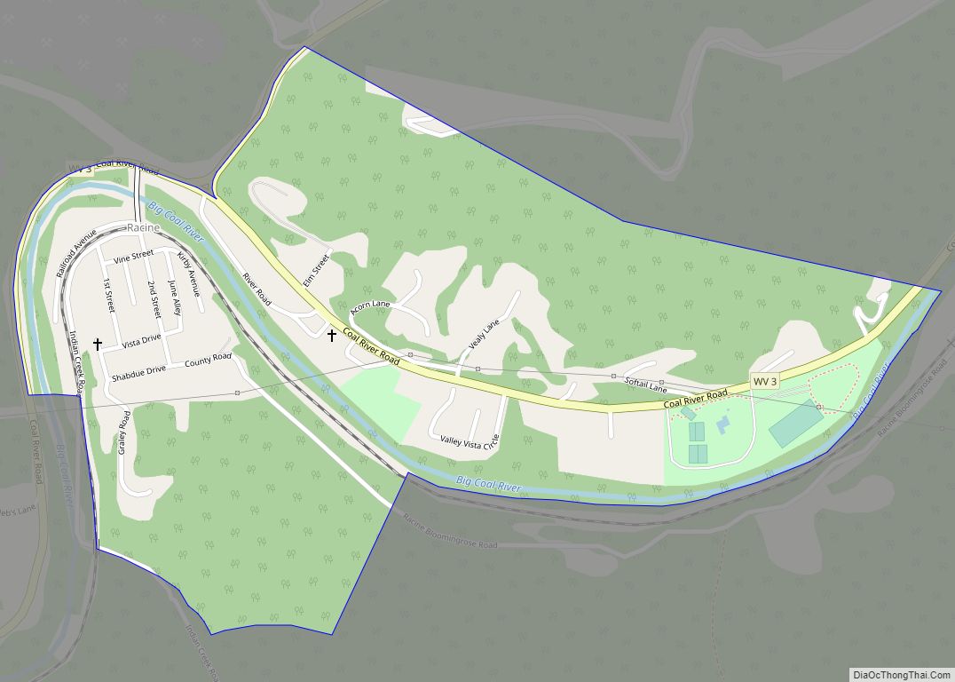
Whitesville is a town and former coal town in Boone County, West Virginia, United States, along the Big Coal River. The population was 361 at the 2020 census. Whitesville was incorporated on August 15, 1935 by the Boone County Circuit Court. The town derives its name from B. W. White, a pioneer settler. Whitesville was formerly known as Jarrold’s Valley and Pritchard City.
| Name: | Whitesville town |
|---|---|
| LSAD Code: | 43 |
| LSAD Description: | town (suffix) |
| State: | West Virginia |
| County: | Boone County |
| Elevation: | 837 ft (255 m) |
| Total Area: | 0.33 sq mi (0.86 km²) |
| Land Area: | 0.31 sq mi (0.80 km²) |
| Water Area: | 0.02 sq mi (0.06 km²) |
| Total Population: | 361 |
| Population Density: | 1,390.88/sq mi (536.74/km²) |
| ZIP code: | 25209 |
| Area code: | 304 |
| FIPS code: | 5486836 |
| GNISfeature ID: | 1555976 |
| Website: | whitesvillewv.com |
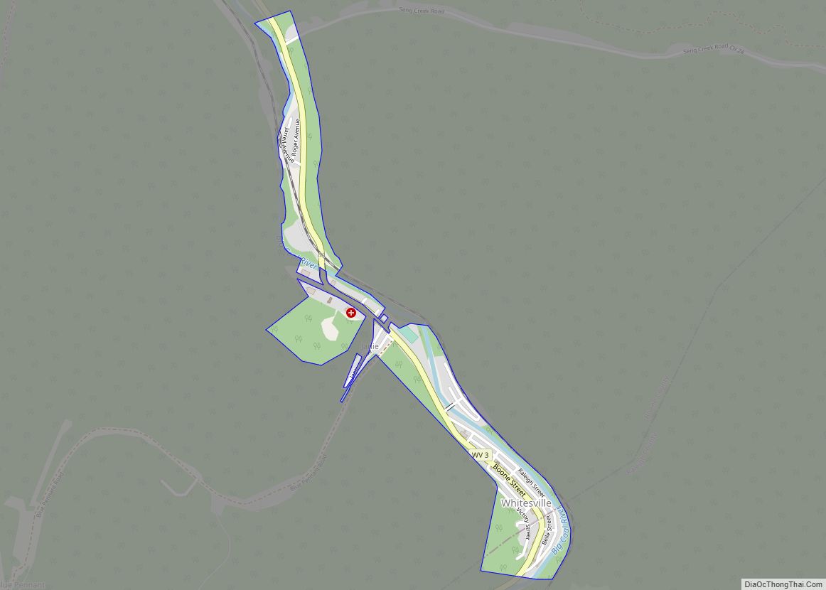
Online Interactive Map
Click on ![]() to view map in "full screen" mode.
to view map in "full screen" mode.
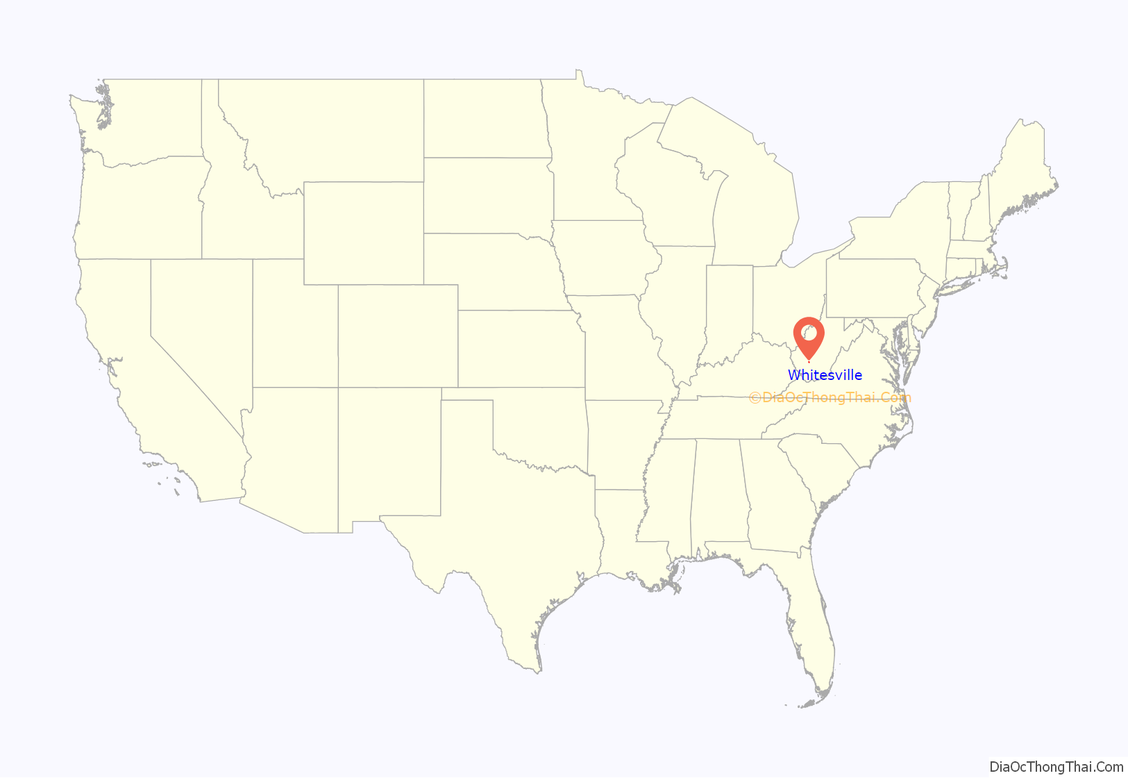
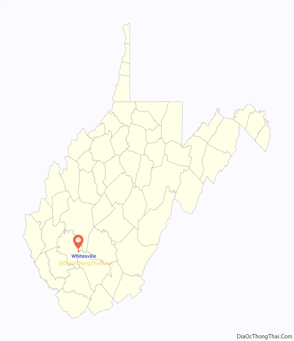
Whitesville location map. Where is Whitesville town?
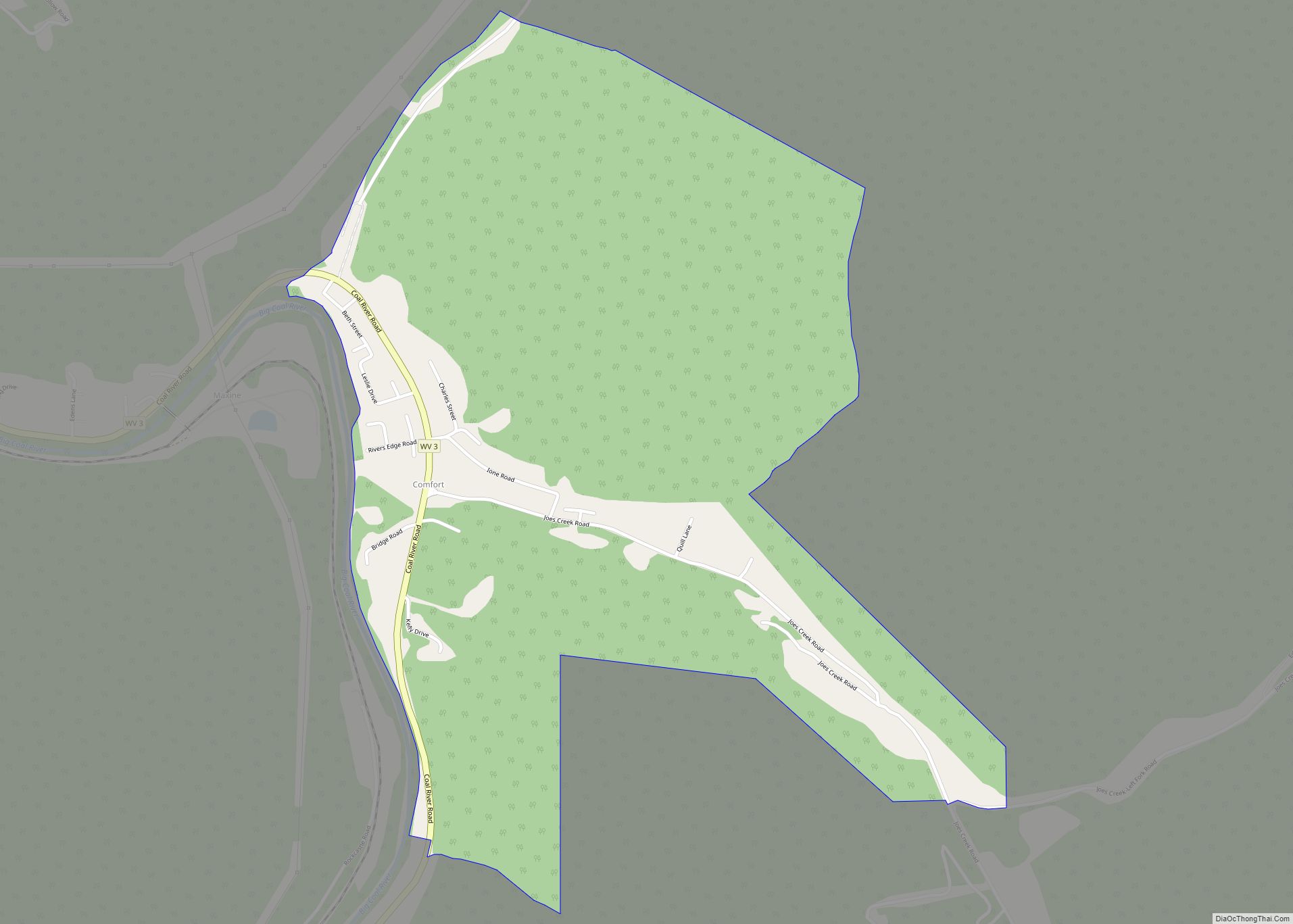
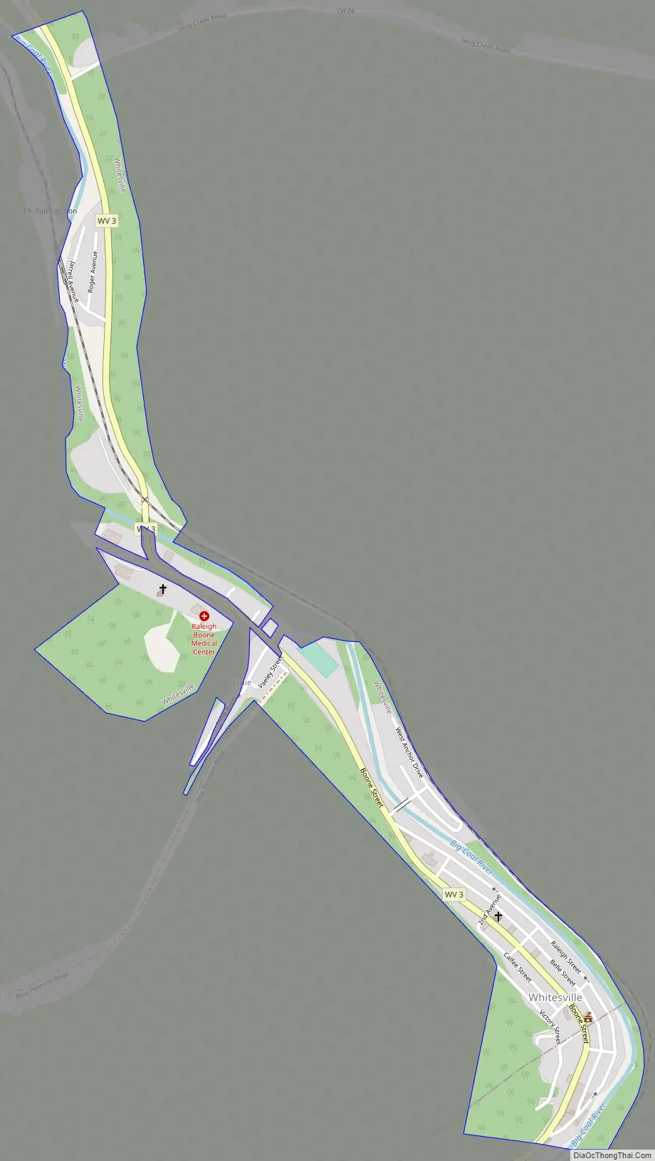
Whitesville Road Map
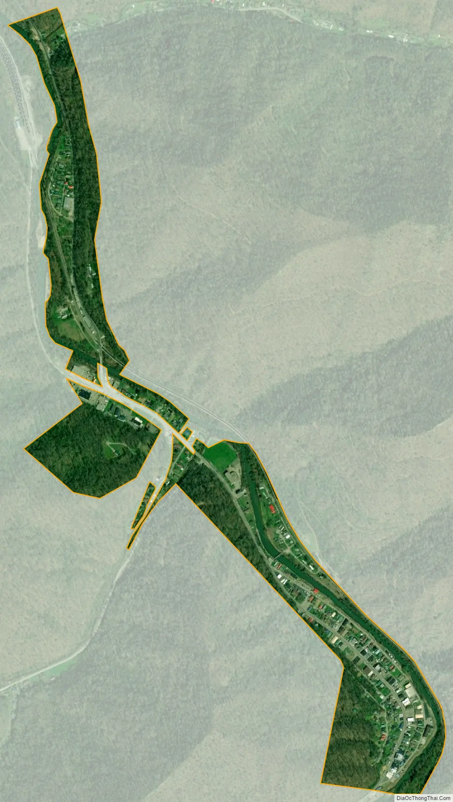
Whitesville city Satellite Map
Geography
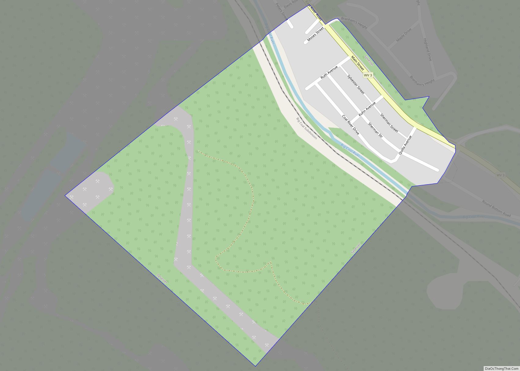
Whitesville is located at 37°58′53″N 81°32′03″W / 37.981297°N 81.534055°W / 37.981297; -81.534055 (37.981297, -81.534055). The town occupies a narrow section of land along both sides of the Big Coal River that stretches from the river’s confluence with Toms Branch on the south to just north of the river’s confluence with Seng Creek. West Virginia Route 3 (Coal River Road) traverses Whitesville, connecting the town with Sylvester to the northwest and the Beckley area to the southeast.
According to the United States Census Bureau, the town has a total area of 0.33 square miles (0.85 km), of which 0.31 square miles (0.80 km) is land and 0.02 square miles (0.05 km) is water.
See also
Map of West Virginia State and its subdivision:- Barbour
- Berkeley
- Boone
- Braxton
- Brooke
- Cabell
- Calhoun
- Clay
- Doddridge
- Fayette
- Gilmer
- Grant
- Greenbrier
- Hampshire
- Hancock
- Hardy
- Harrison
- Jackson
- Jefferson
- Kanawha
- Lewis
- Lincoln
- Logan
- Marion
- Marshall
- Mason
- McDowell
- Mercer
- Mineral
- Mingo
- Monongalia
- Monroe
- Morgan
- Nicholas
- Ohio
- Pendleton
- Pleasants
- Pocahontas
- Preston
- Putnam
- Raleigh
- Randolph
- Ritchie
- Roane
- Summers
- Taylor
- Tucker
- Tyler
- Upshur
- Wayne
- Webster
- Wetzel
- Wirt
- Wood
- Wyoming
- Alabama
- Alaska
- Arizona
- Arkansas
- California
- Colorado
- Connecticut
- Delaware
- District of Columbia
- Florida
- Georgia
- Hawaii
- Idaho
- Illinois
- Indiana
- Iowa
- Kansas
- Kentucky
- Louisiana
- Maine
- Maryland
- Massachusetts
- Michigan
- Minnesota
- Mississippi
- Missouri
- Montana
- Nebraska
- Nevada
- New Hampshire
- New Jersey
- New Mexico
- New York
- North Carolina
- North Dakota
- Ohio
- Oklahoma
- Oregon
- Pennsylvania
- Rhode Island
- South Carolina
- South Dakota
- Tennessee
- Texas
- Utah
- Vermont
- Virginia
- Washington
- West Virginia
- Wisconsin
- Wyoming