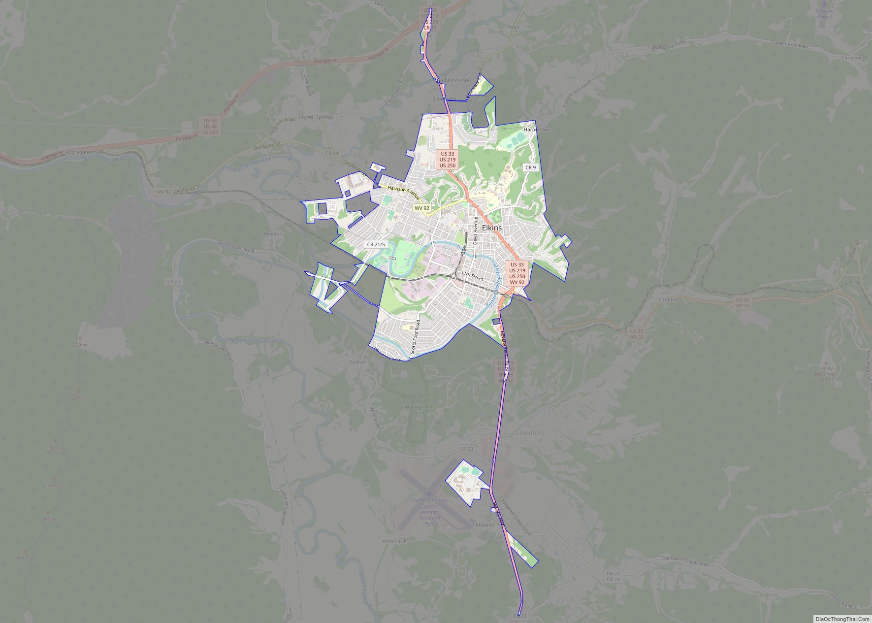
Whitmer is a census-designated place (CDP) in Randolph County, West Virginia, United States. It is 7.5 miles (12.1 km) south-southwest of Harman and is situated on the Dry Fork Cheat River. Whitmer had a post office, which closed on May 21, 2011. As of the 2010 census, its population was 106.
| Name: | Whitmer CDP |
|---|---|
| LSAD Code: | 57 |
| LSAD Description: | CDP (suffix) |
| State: | West Virginia |
| County: | Randolph County |
| Elevation: | 2,763 ft (842 m) |
| Total Area: | 0.423 sq mi (1.10 km²) |
| Land Area: | 0.423 sq mi (1.10 km²) |
| Water Area: | 0 sq mi (0 km²) |
| Total Population: | 106 |
| Population Density: | 250/sq mi (97/km²) |
| ZIP code: | 26296 |
| Area code: | 304 & 681 |
| FIPS code: | 5486932 |
| GNISfeature ID: | 1553440 |
Online Interactive Map
Click on ![]() to view map in "full screen" mode.
to view map in "full screen" mode.
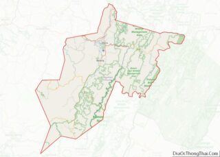
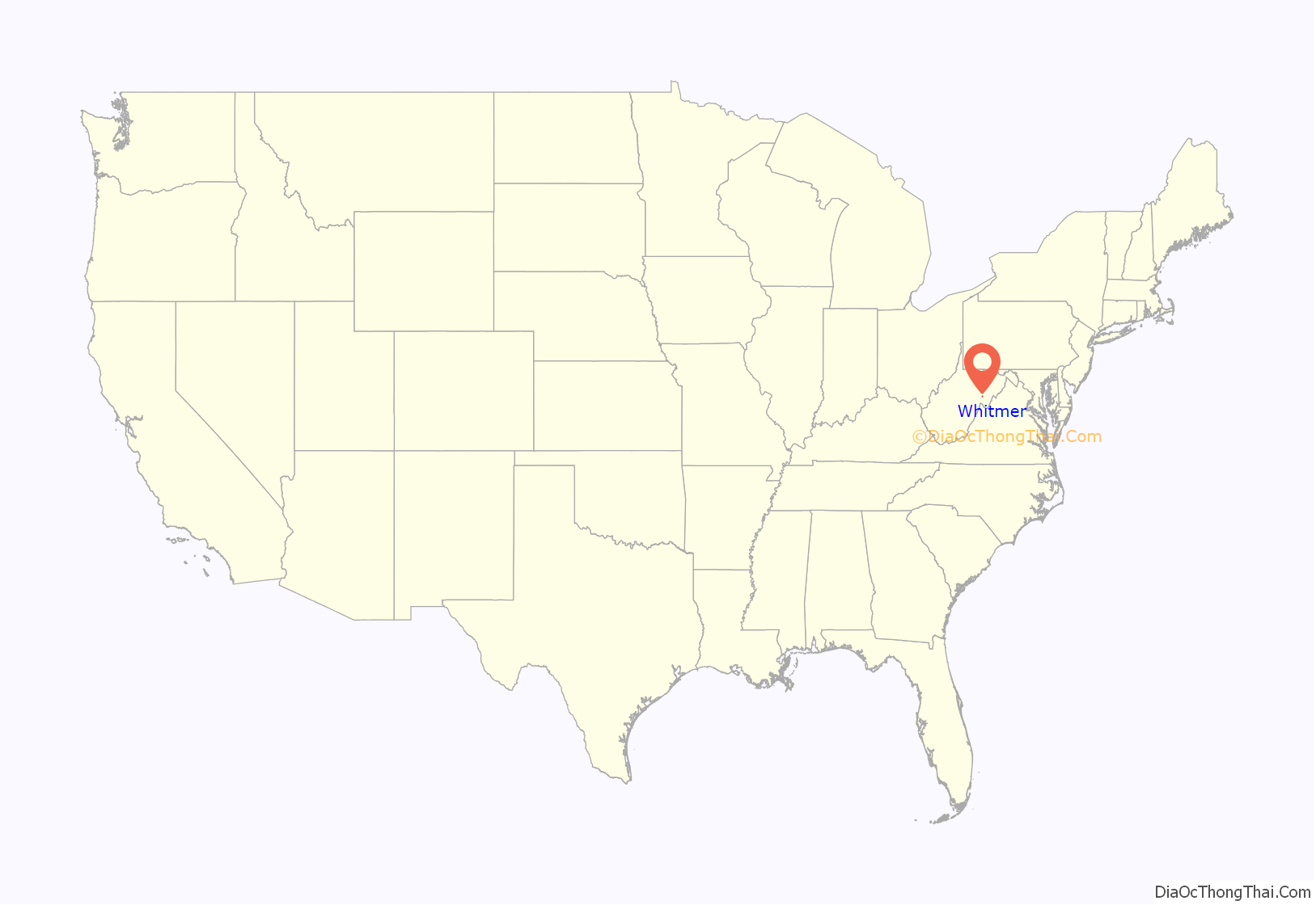
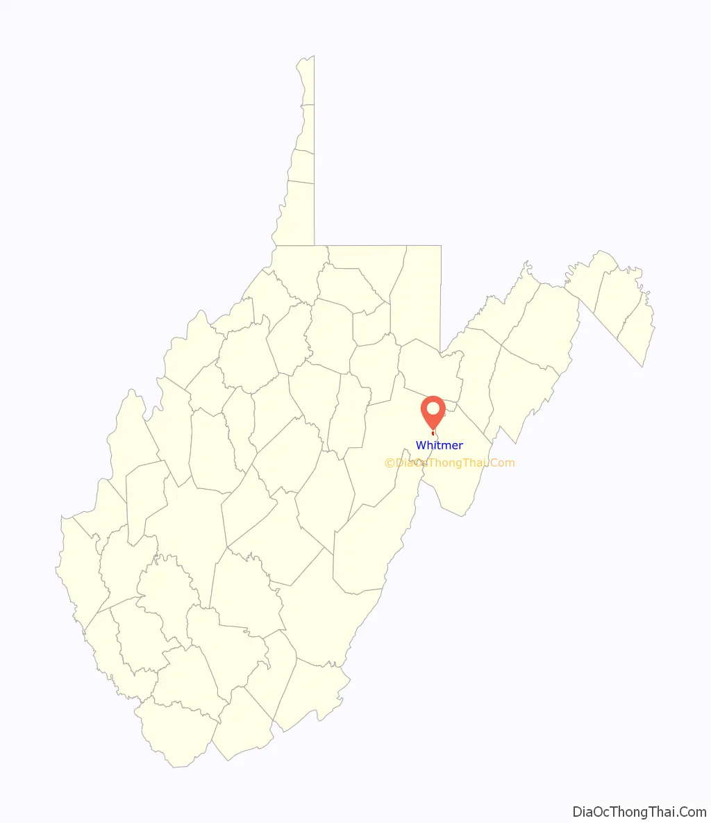
Whitmer location map. Where is Whitmer CDP?
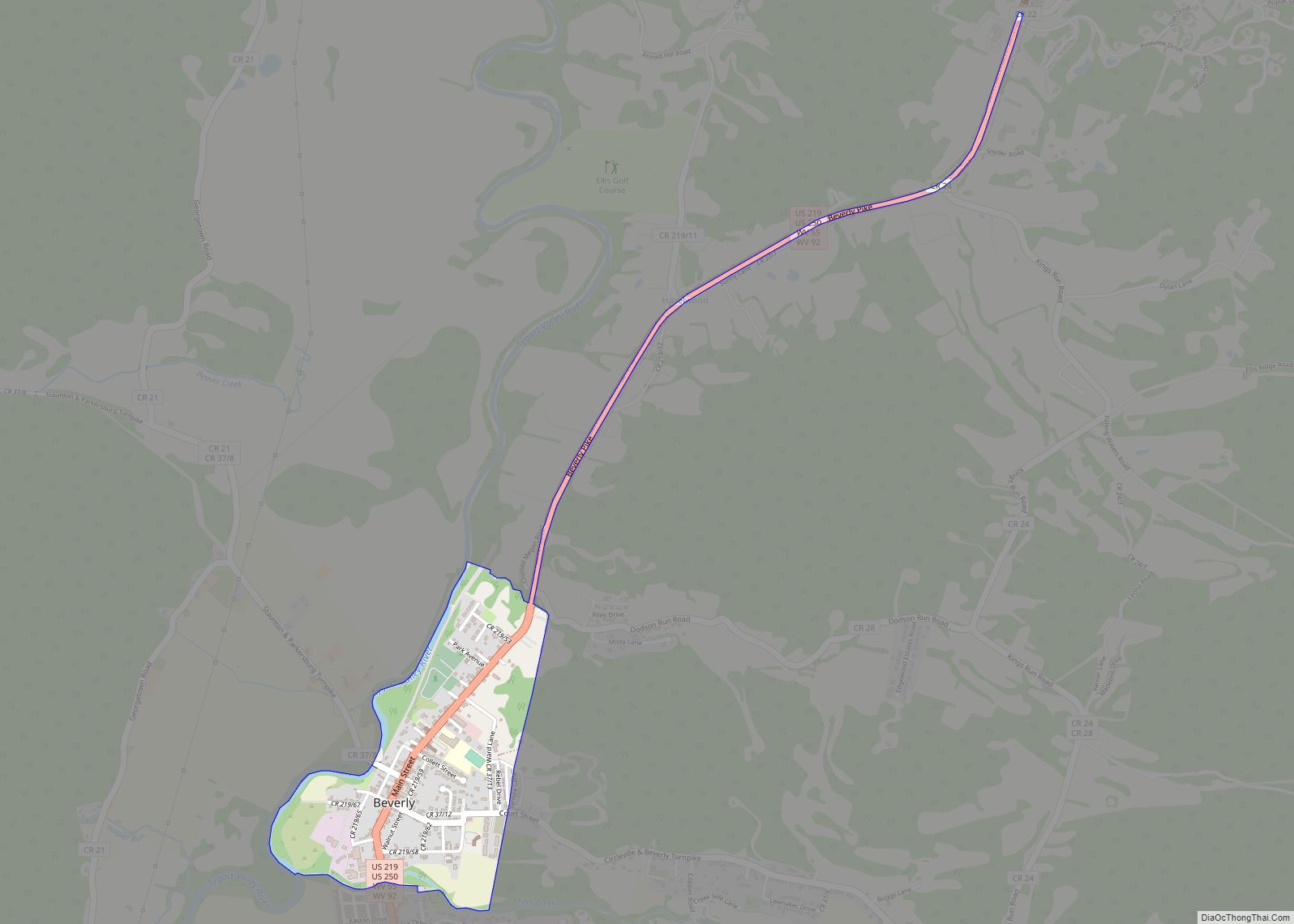
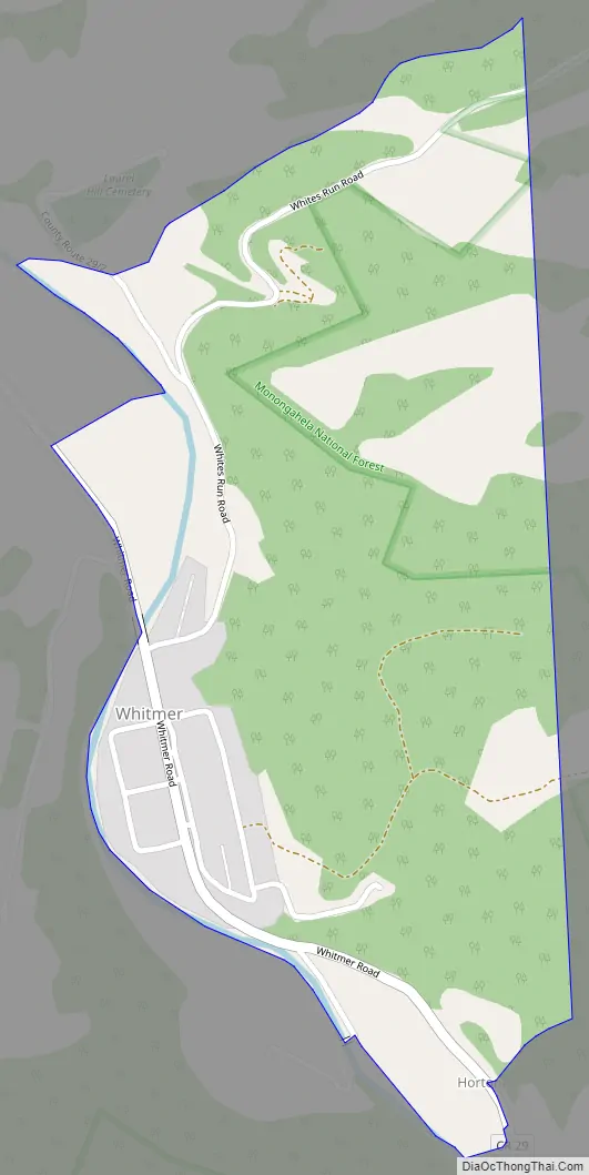
Whitmer Road Map
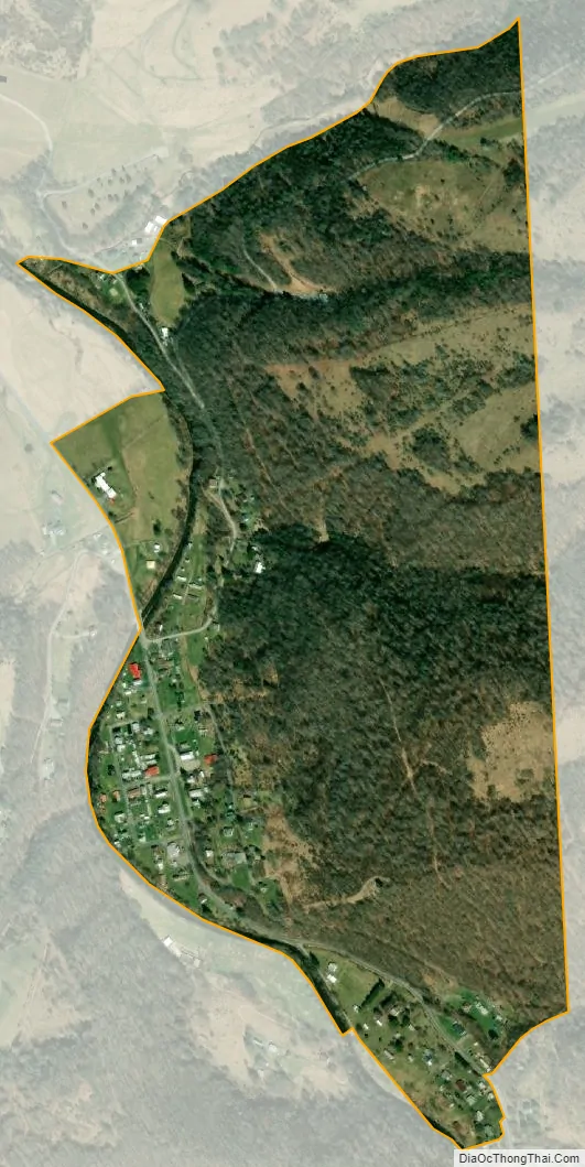
Whitmer city Satellite Map
See also
Map of West Virginia State and its subdivision:- Barbour
- Berkeley
- Boone
- Braxton
- Brooke
- Cabell
- Calhoun
- Clay
- Doddridge
- Fayette
- Gilmer
- Grant
- Greenbrier
- Hampshire
- Hancock
- Hardy
- Harrison
- Jackson
- Jefferson
- Kanawha
- Lewis
- Lincoln
- Logan
- Marion
- Marshall
- Mason
- McDowell
- Mercer
- Mineral
- Mingo
- Monongalia
- Monroe
- Morgan
- Nicholas
- Ohio
- Pendleton
- Pleasants
- Pocahontas
- Preston
- Putnam
- Raleigh
- Randolph
- Ritchie
- Roane
- Summers
- Taylor
- Tucker
- Tyler
- Upshur
- Wayne
- Webster
- Wetzel
- Wirt
- Wood
- Wyoming
- Alabama
- Alaska
- Arizona
- Arkansas
- California
- Colorado
- Connecticut
- Delaware
- District of Columbia
- Florida
- Georgia
- Hawaii
- Idaho
- Illinois
- Indiana
- Iowa
- Kansas
- Kentucky
- Louisiana
- Maine
- Maryland
- Massachusetts
- Michigan
- Minnesota
- Mississippi
- Missouri
- Montana
- Nebraska
- Nevada
- New Hampshire
- New Jersey
- New Mexico
- New York
- North Carolina
- North Dakota
- Ohio
- Oklahoma
- Oregon
- Pennsylvania
- Rhode Island
- South Carolina
- South Dakota
- Tennessee
- Texas
- Utah
- Vermont
- Virginia
- Washington
- West Virginia
- Wisconsin
- Wyoming