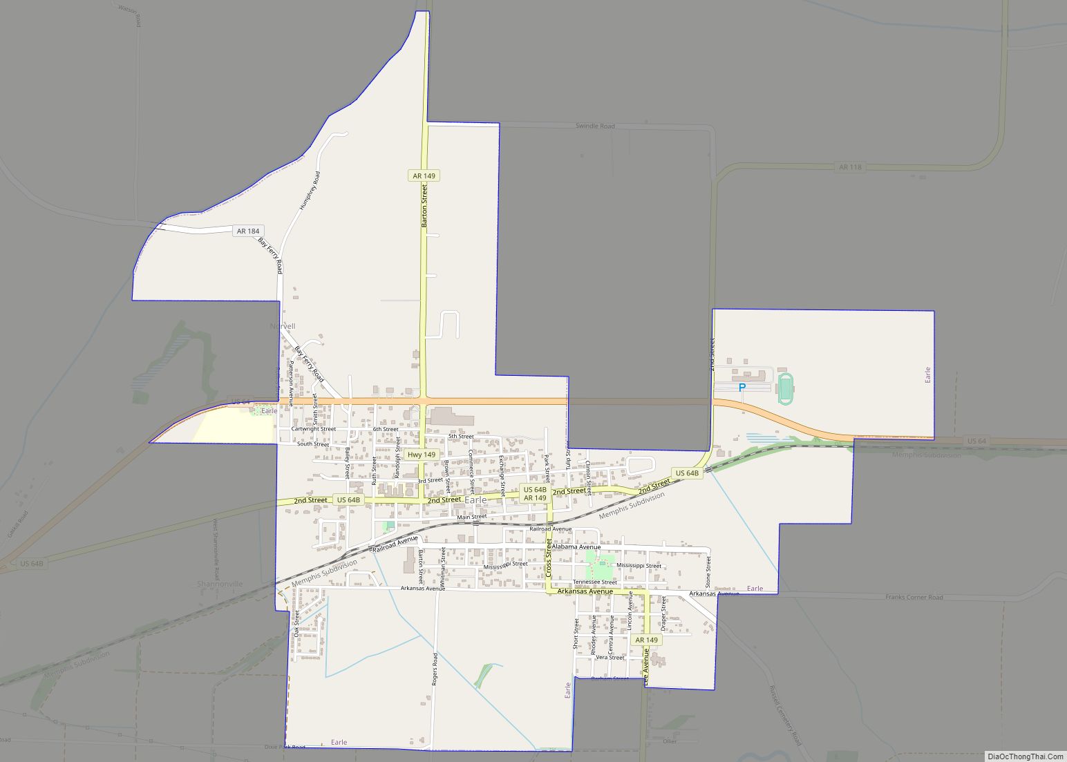
Earle is a city in Crittenden County, Arkansas, United States. Per the 2020 census, the population was 1,831.
| Name: | Earle city |
|---|---|
| LSAD Code: | 25 |
| LSAD Description: | city (suffix) |
| State: | Arkansas |
| County: | Crittenden County |
| Elevation: | 207 ft (63 m) |
| Total Area: | 3.25 sq mi (8.41 km²) |
| Land Area: | 3.25 sq mi (8.41 km²) |
| Water Area: | 0.00 sq mi (0.00 km²) |
| Total Population: | 1,831 |
| Population Density: | 563.91/sq mi (217.70/km²) |
| ZIP code: | 72331 |
| Area code: | 870 |
| FIPS code: | 0520320 |
| GNISfeature ID: | 0048738 |
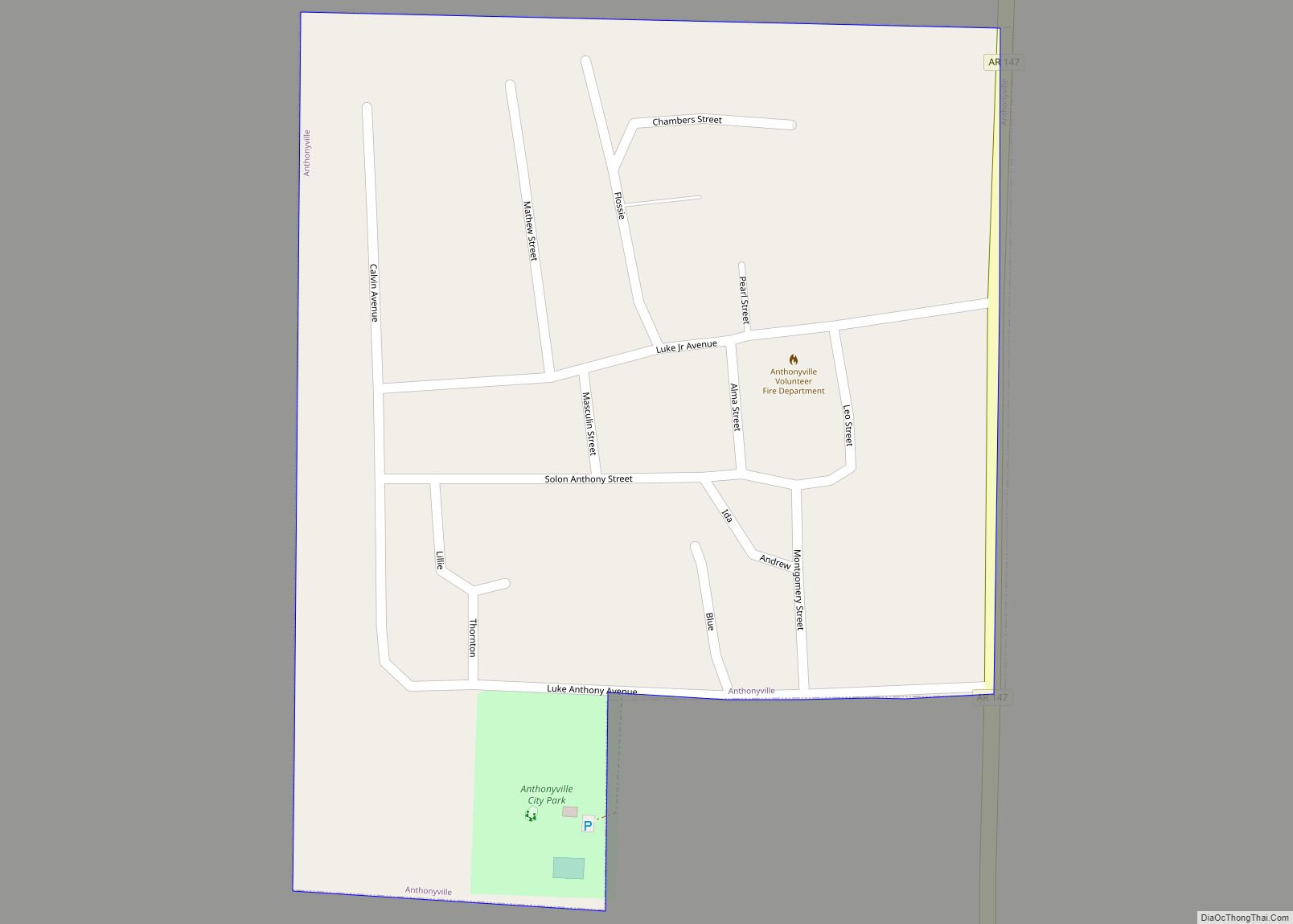
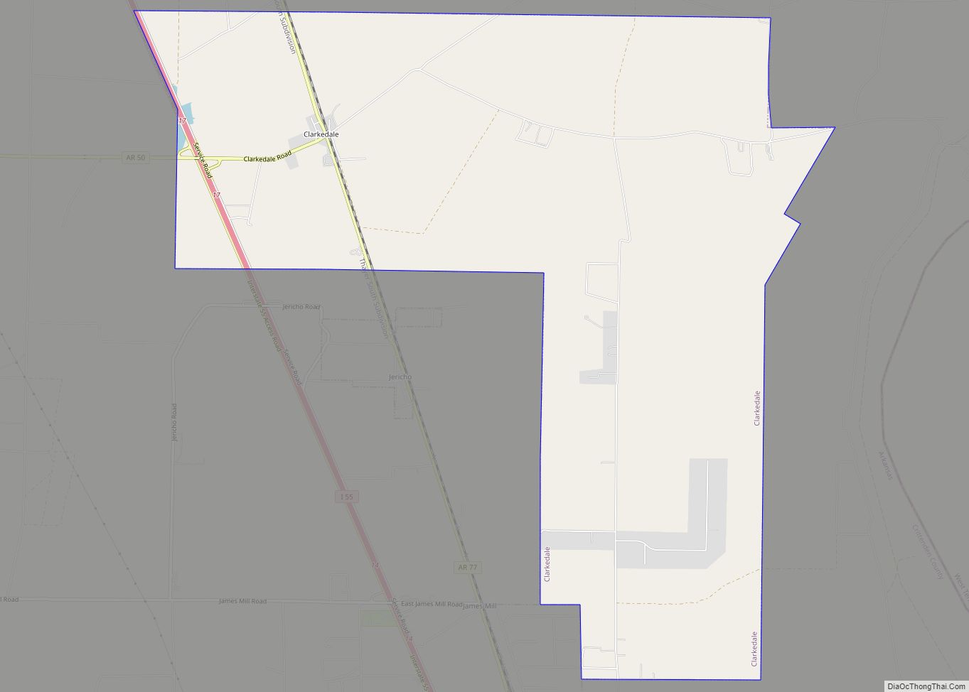
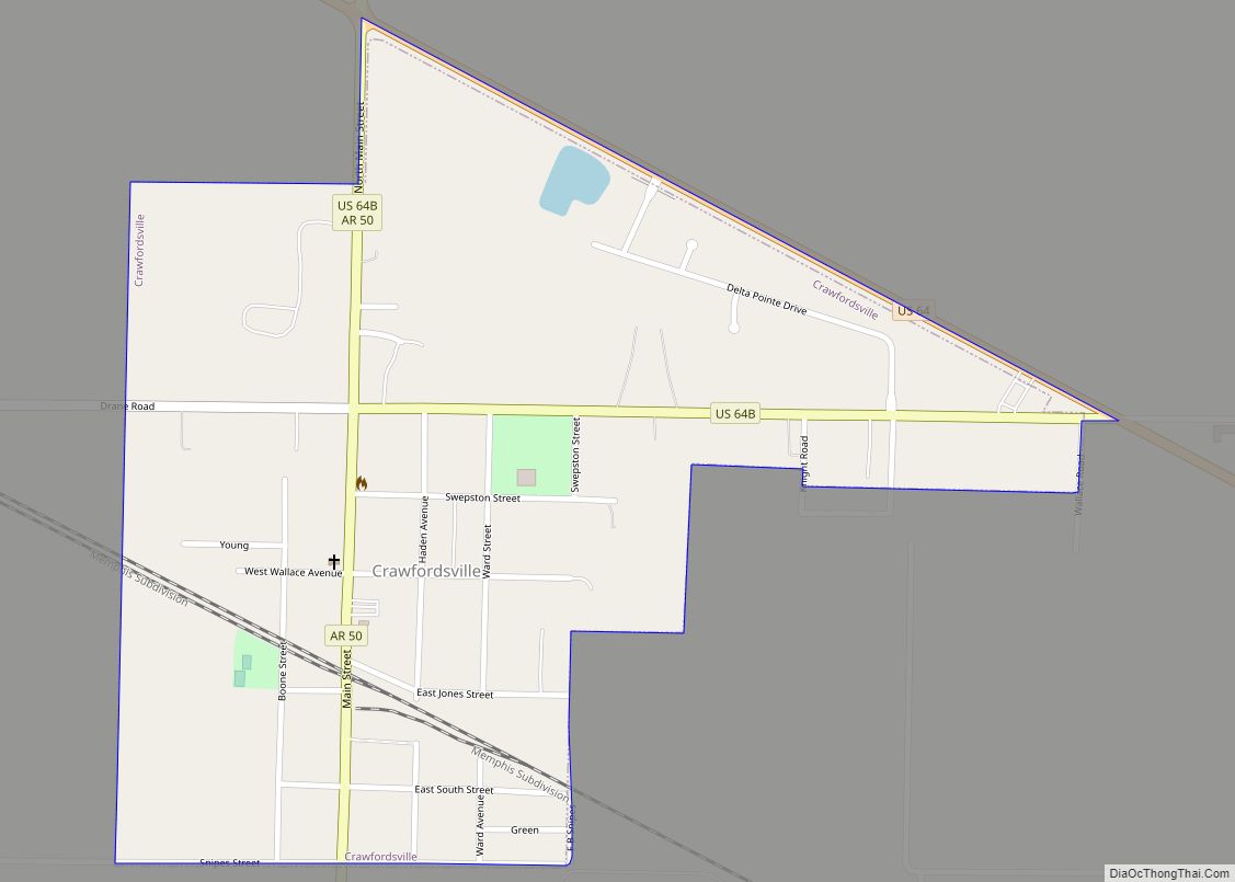
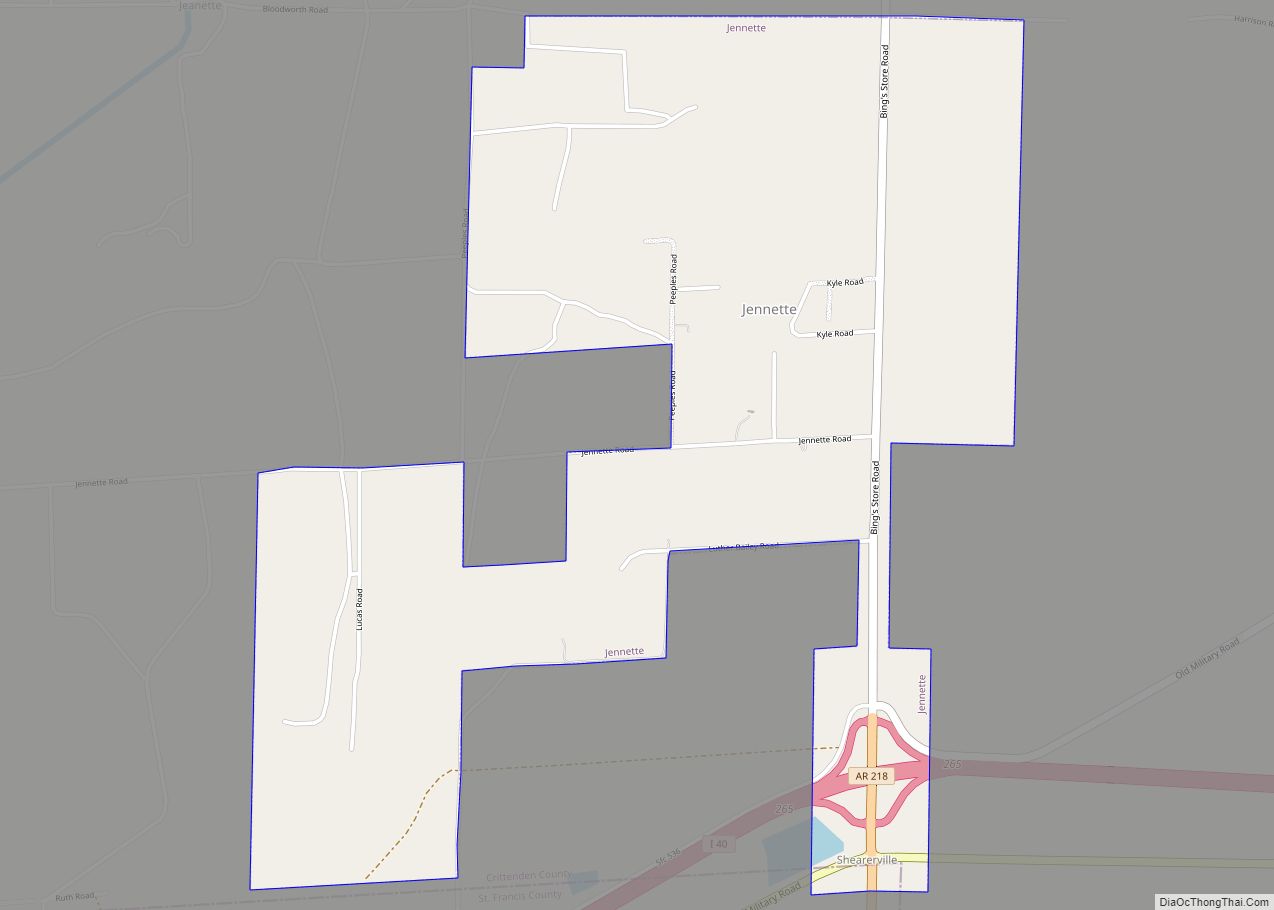
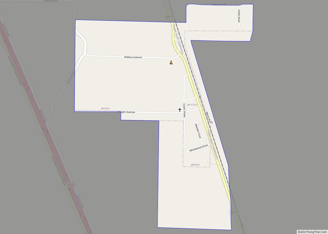
Online Interactive Map
Click on ![]() to view map in "full screen" mode.
to view map in "full screen" mode.
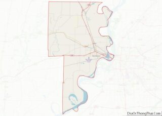
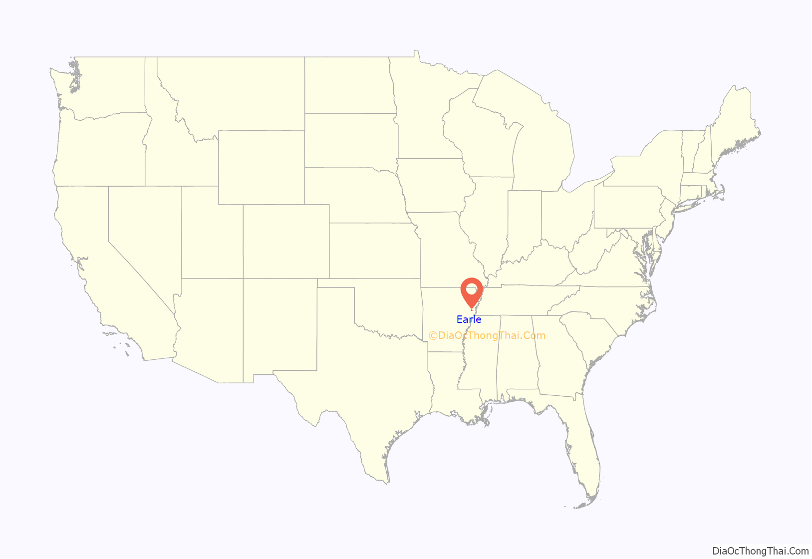
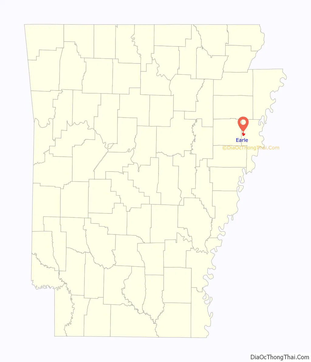
Earle location map. Where is Earle city?
History
In 1918, an African-American man named Elton Mitchell was eviscerated with a knife and hanged from a tree after he refused to work for a white landowner for free.
In 1928, the widow and family of local figure George Berry Washington had a monument (known as “the Angel in the Field”) built to honor Washington’s life. Born into slavery in 1864, Washington established a thriving business as a landlord, and through this enterprise provided a means of income for hundreds of Black Arkansans.
The 2022 Earle mayoral election resulted in a historic victory for Jaylen Smith, who at 18 years old became the youngest Black person to be elected mayor in any U.S. town.
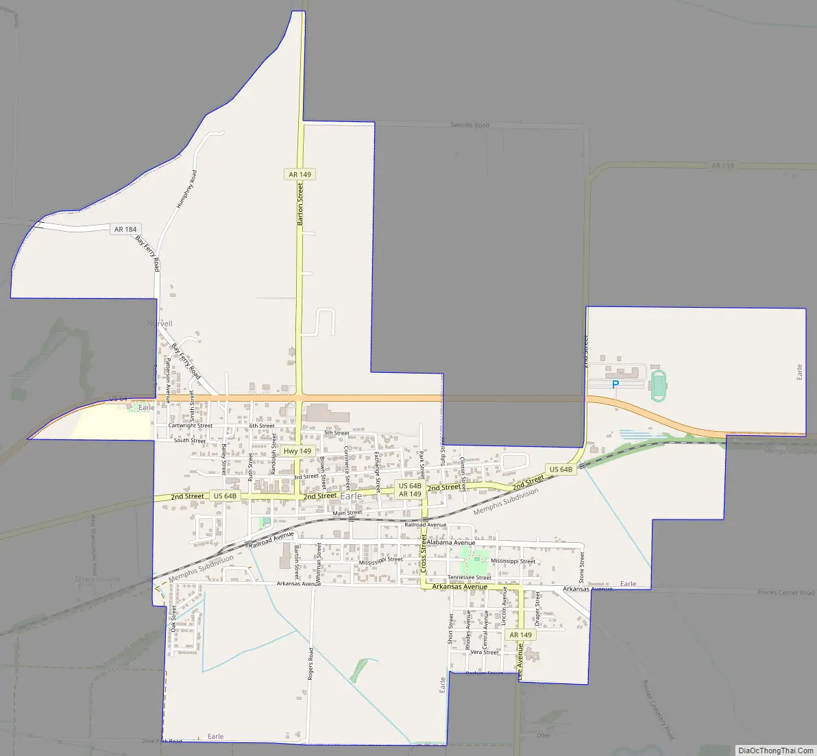
Earle Road Map
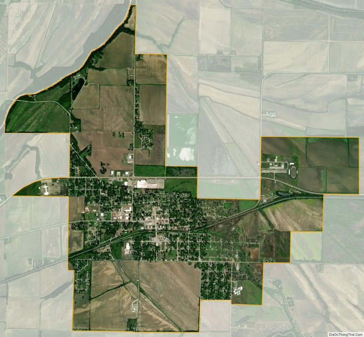
Earle city Satellite Map
Geography
Earle is located in western Crittenden County at 35°16′13″N 90°27′53″W / 35.27028°N 90.46472°W / 35.27028; -90.46472 (35.270405, -90.464841). U.S. Route 64 passes through the northern part of the city, bypassing the downtown area. US 64 leads west 19 miles (31 km) to Wynne and 28 miles (45 km) east to Memphis, Tennessee.
According to the United States Census Bureau, Earle has a total area of 3.2 square miles (8.4 km), all land.
See also
Map of Arkansas State and its subdivision:- Arkansas
- Ashley
- Baxter
- Benton
- Boone
- Bradley
- Calhoun
- Carroll
- Chicot
- Clark
- Clay
- Cleburne
- Cleveland
- Columbia
- Conway
- Craighead
- Crawford
- Crittenden
- Cross
- Dallas
- Desha
- Drew
- Faulkner
- Franklin
- Fulton
- Garland
- Grant
- Greene
- Hempstead
- Hot Spring
- Howard
- Independence
- Izard
- Jackson
- Jefferson
- Johnson
- Lafayette
- Lawrence
- Lee
- Lincoln
- Little River
- Logan
- Lonoke
- Madison
- Marion
- Miller
- Mississippi
- Monroe
- Montgomery
- Nevada
- Newton
- Ouachita
- Perry
- Phillips
- Pike
- Poinsett
- Polk
- Pope
- Prairie
- Pulaski
- Randolph
- Saint Francis
- Saline
- Scott
- Searcy
- Sebastian
- Sevier
- Sharp
- Stone
- Union
- Van Buren
- Washington
- White
- Woodruff
- Yell
- Alabama
- Alaska
- Arizona
- Arkansas
- California
- Colorado
- Connecticut
- Delaware
- District of Columbia
- Florida
- Georgia
- Hawaii
- Idaho
- Illinois
- Indiana
- Iowa
- Kansas
- Kentucky
- Louisiana
- Maine
- Maryland
- Massachusetts
- Michigan
- Minnesota
- Mississippi
- Missouri
- Montana
- Nebraska
- Nevada
- New Hampshire
- New Jersey
- New Mexico
- New York
- North Carolina
- North Dakota
- Ohio
- Oklahoma
- Oregon
- Pennsylvania
- Rhode Island
- South Carolina
- South Dakota
- Tennessee
- Texas
- Utah
- Vermont
- Virginia
- Washington
- West Virginia
- Wisconsin
- Wyoming