Grady is a city in Lincoln County, Arkansas, United States. The population was 449 at the 2010 census, down from 523 at the 2000 census. It is included in the Pine Bluff, Arkansas Metropolitan Statistical Area.
| Name: | Grady city |
|---|---|
| LSAD Code: | 25 |
| LSAD Description: | city (suffix) |
| State: | Arkansas |
| County: | Lincoln County |
| Elevation: | 184 ft (56 m) |
| Total Area: | 1.85 sq mi (4.80 km²) |
| Land Area: | 1.85 sq mi (4.80 km²) |
| Water Area: | 0.00 sq mi (0.00 km²) |
| Total Population: | 305 |
| Population Density: | 164.42/sq mi (63.50/km²) |
| ZIP code: | 71644 |
| Area code: | 870 |
| FIPS code: | 0527790 |
| GNISfeature ID: | 0077049 |
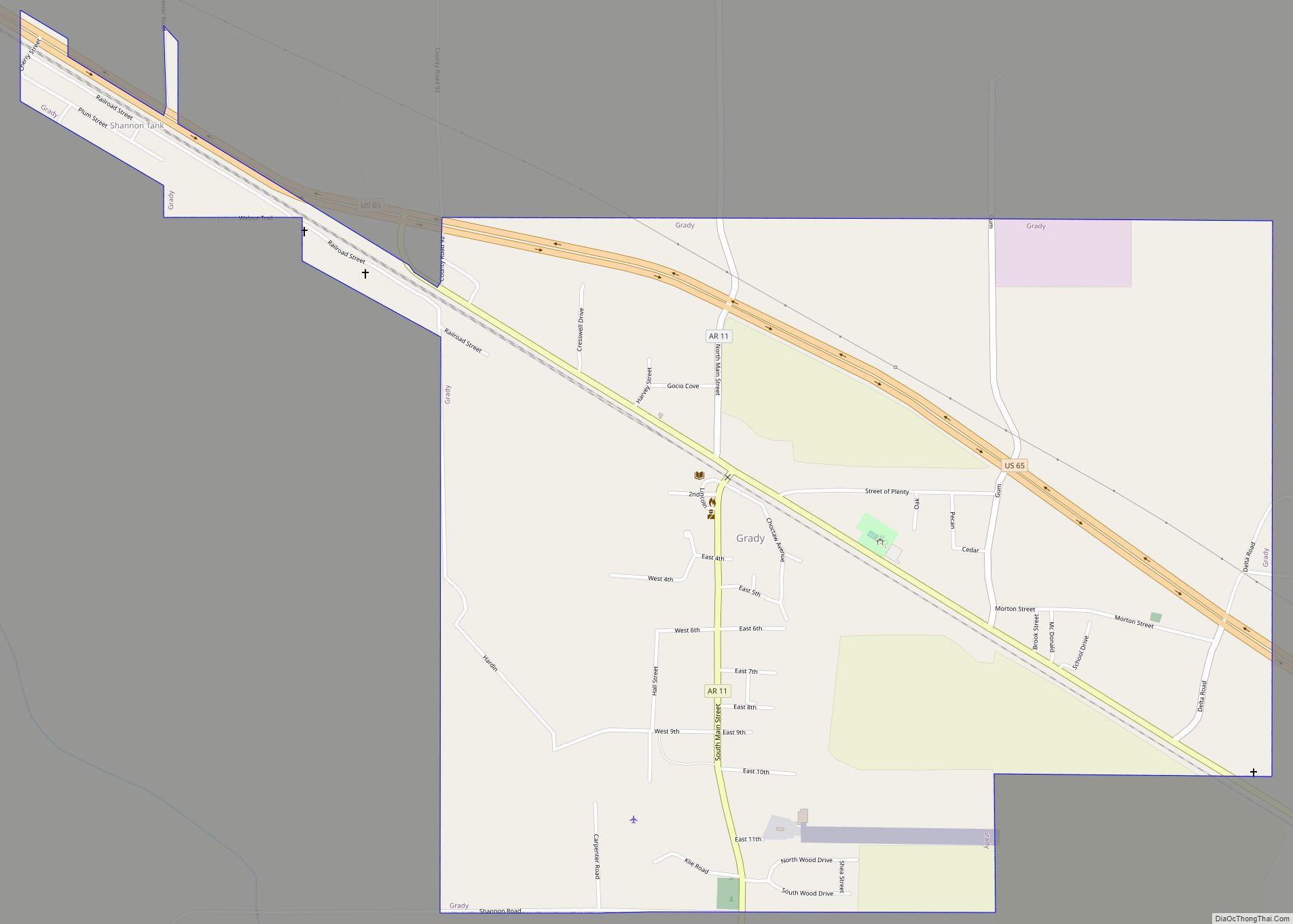
Online Interactive Map
Click on ![]() to view map in "full screen" mode.
to view map in "full screen" mode.
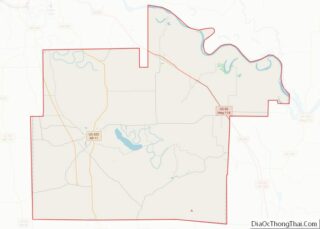
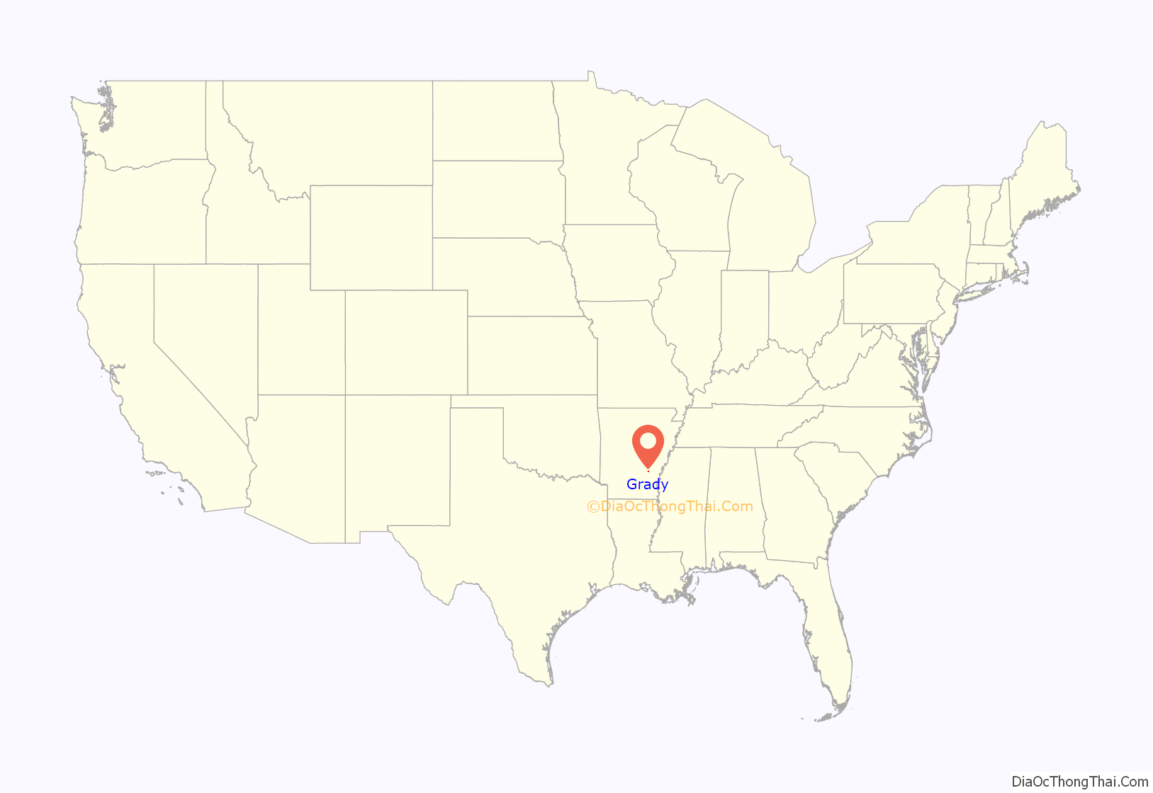
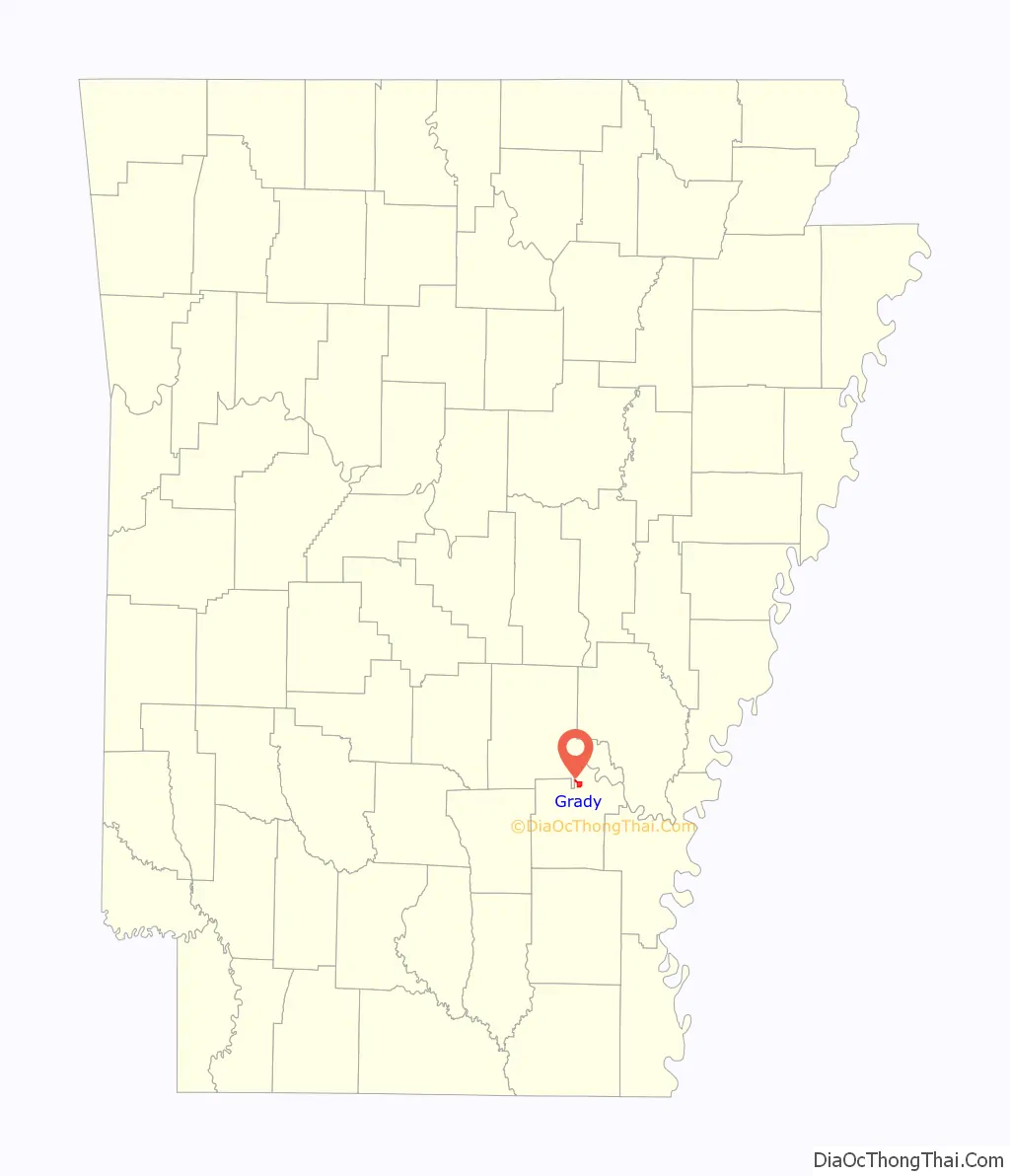
Grady location map. Where is Grady city?
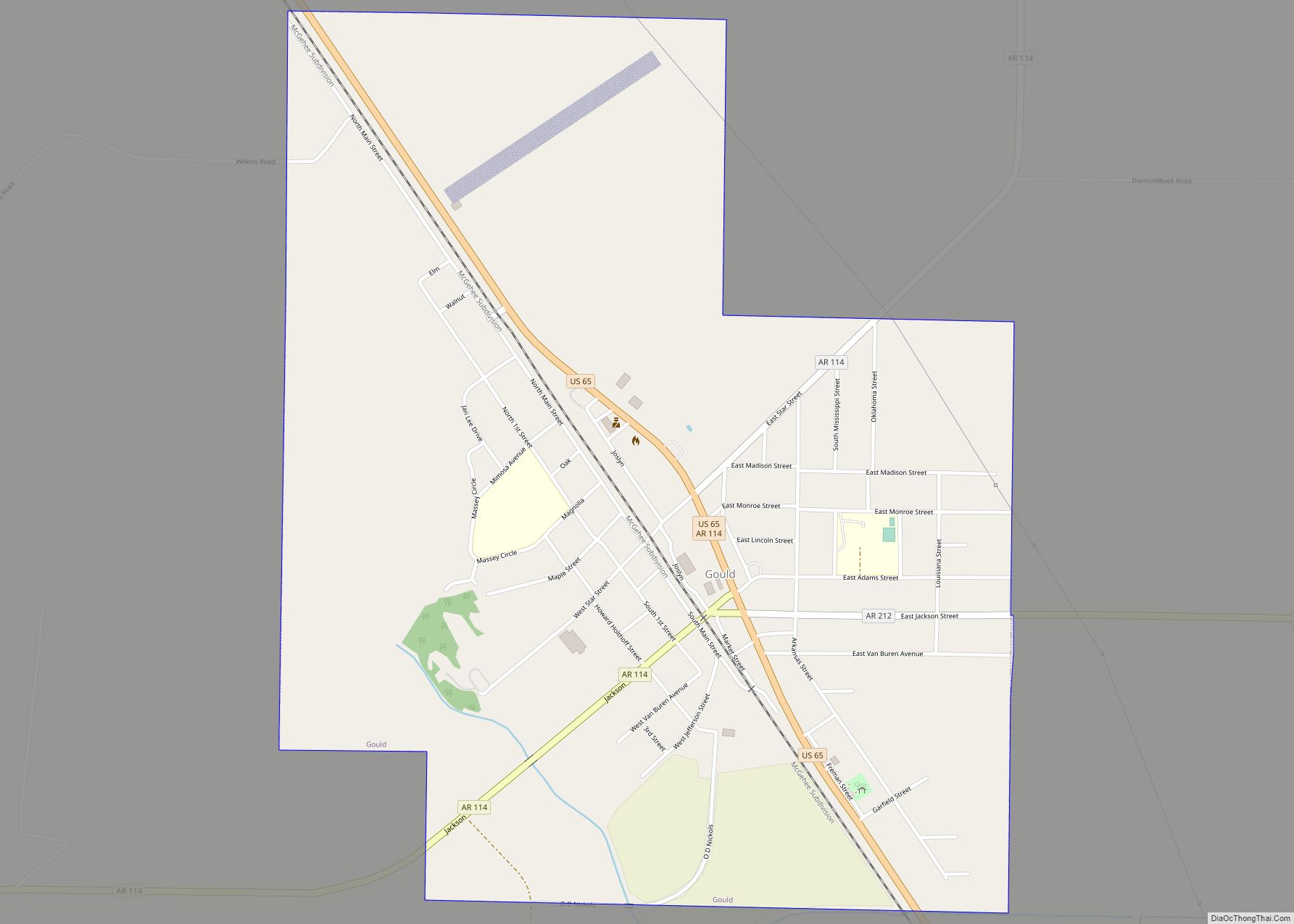
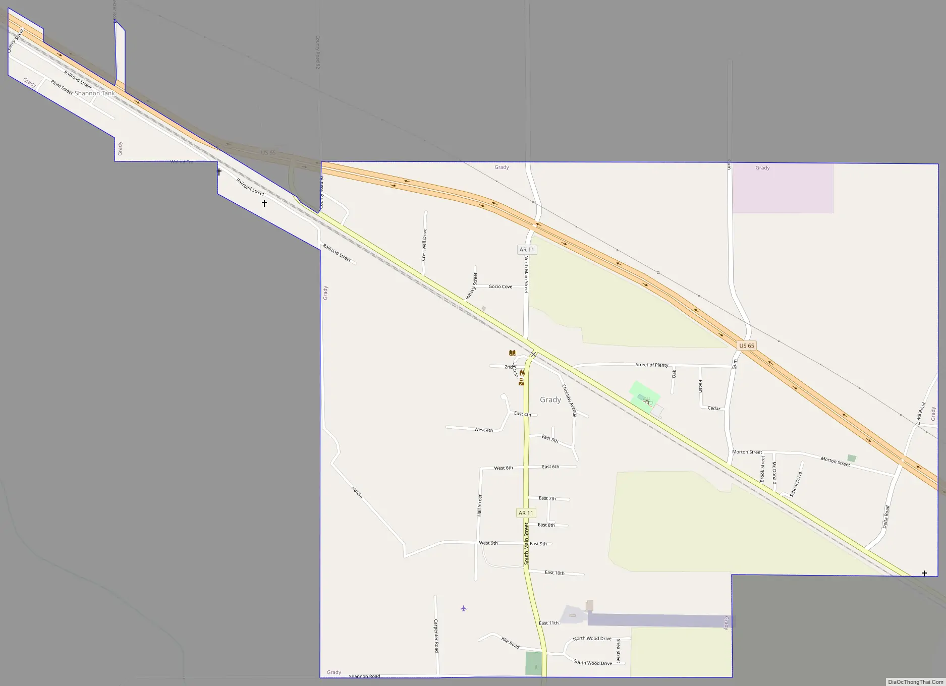
Grady Road Map
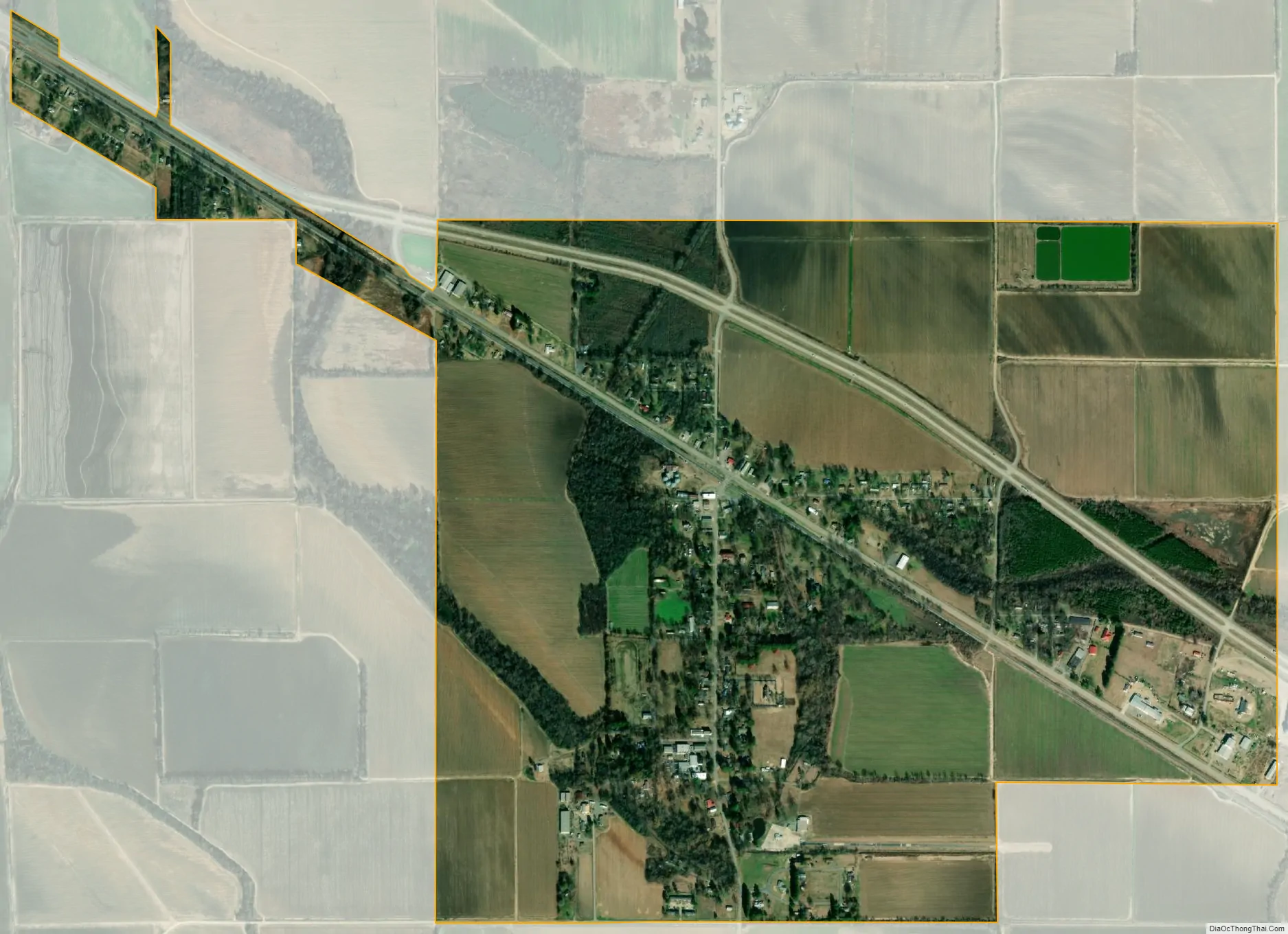
Grady city Satellite Map
Geography
Grady is located in northeastern Lincoln County at 34°14′26″N 91°42′3″W / 34.24056°N 91.70083°W / 34.24056; -91.70083 (34.079551, -91.700722), along U.S. Route 65. It is 22 miles (35 km) southeast of Pine Bluff and 11 miles (18 km) northwest of Gould.
According to the United States Census Bureau, Grady has a total area of 1.9 square miles (4.8 km), all land.
See also
Map of Arkansas State and its subdivision:- Arkansas
- Ashley
- Baxter
- Benton
- Boone
- Bradley
- Calhoun
- Carroll
- Chicot
- Clark
- Clay
- Cleburne
- Cleveland
- Columbia
- Conway
- Craighead
- Crawford
- Crittenden
- Cross
- Dallas
- Desha
- Drew
- Faulkner
- Franklin
- Fulton
- Garland
- Grant
- Greene
- Hempstead
- Hot Spring
- Howard
- Independence
- Izard
- Jackson
- Jefferson
- Johnson
- Lafayette
- Lawrence
- Lee
- Lincoln
- Little River
- Logan
- Lonoke
- Madison
- Marion
- Miller
- Mississippi
- Monroe
- Montgomery
- Nevada
- Newton
- Ouachita
- Perry
- Phillips
- Pike
- Poinsett
- Polk
- Pope
- Prairie
- Pulaski
- Randolph
- Saint Francis
- Saline
- Scott
- Searcy
- Sebastian
- Sevier
- Sharp
- Stone
- Union
- Van Buren
- Washington
- White
- Woodruff
- Yell
- Alabama
- Alaska
- Arizona
- Arkansas
- California
- Colorado
- Connecticut
- Delaware
- District of Columbia
- Florida
- Georgia
- Hawaii
- Idaho
- Illinois
- Indiana
- Iowa
- Kansas
- Kentucky
- Louisiana
- Maine
- Maryland
- Massachusetts
- Michigan
- Minnesota
- Mississippi
- Missouri
- Montana
- Nebraska
- Nevada
- New Hampshire
- New Jersey
- New Mexico
- New York
- North Carolina
- North Dakota
- Ohio
- Oklahoma
- Oregon
- Pennsylvania
- Rhode Island
- South Carolina
- South Dakota
- Tennessee
- Texas
- Utah
- Vermont
- Virginia
- Washington
- West Virginia
- Wisconsin
- Wyoming