Hope is a city in Hempstead County in southwestern Arkansas, United States. Hope is the county seat of Hempstead County and the principal city of the Hope Micropolitan Statistical Area, which includes all of Hempstead and Nevada counties. As of the 2010 census the population was 10,095, and in 2019 the population was estimated at 9,599.
Hope is the birthplace of three Arkansas governors: Bill Clinton (who was also President of the United States from 1993 to 2001), Mike Huckabee (who ran for the Republican presidential nomination in 2008 and 2016), and Sarah Huckabee Sanders (the incumbent governor and daughter of Mike Huckabee).
| Name: | Hope city |
|---|---|
| LSAD Code: | 25 |
| LSAD Description: | city (suffix) |
| State: | Arkansas |
| County: | Hempstead County |
| Founded: | 1875 |
| Elevation: | 354 ft (108 m) |
| Land Area: | 10.68 sq mi (27.67 km²) |
| Water Area: | 0.08 sq mi (0.20 km²) |
| Population Density: | 837.97/sq mi (323.55/km²) |
| ZIP code: | 71801-71802 |
| Area code: | 870 |
| FIPS code: | 0533190 |
| GNISfeature ID: | 0057940 |
| Website: | www.hopearkansas.net |
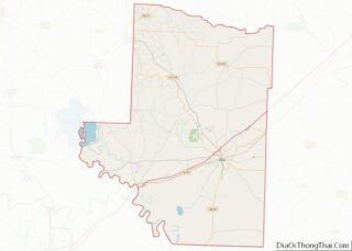
Online Interactive Map
Click on ![]() to view map in "full screen" mode.
to view map in "full screen" mode.
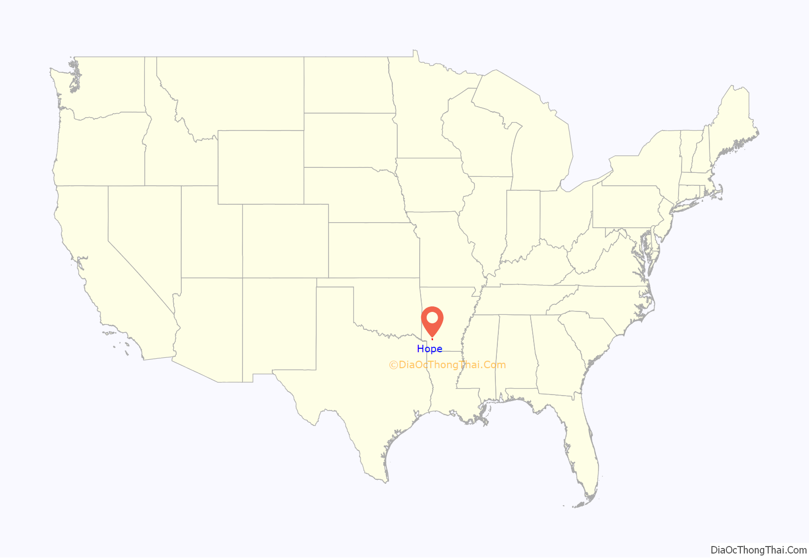
Hope location map. Where is Hope city?
History
Hope began in 1873, when a railroad was built through the area. The town was named for Hope Loughborough, the daughter of a railroad executive. In the 1902-1903 timeframe, the St. Louis, San Francisco and New Orleans Railroad was built into town; that line is now operated by the Kiamichi Railroad.
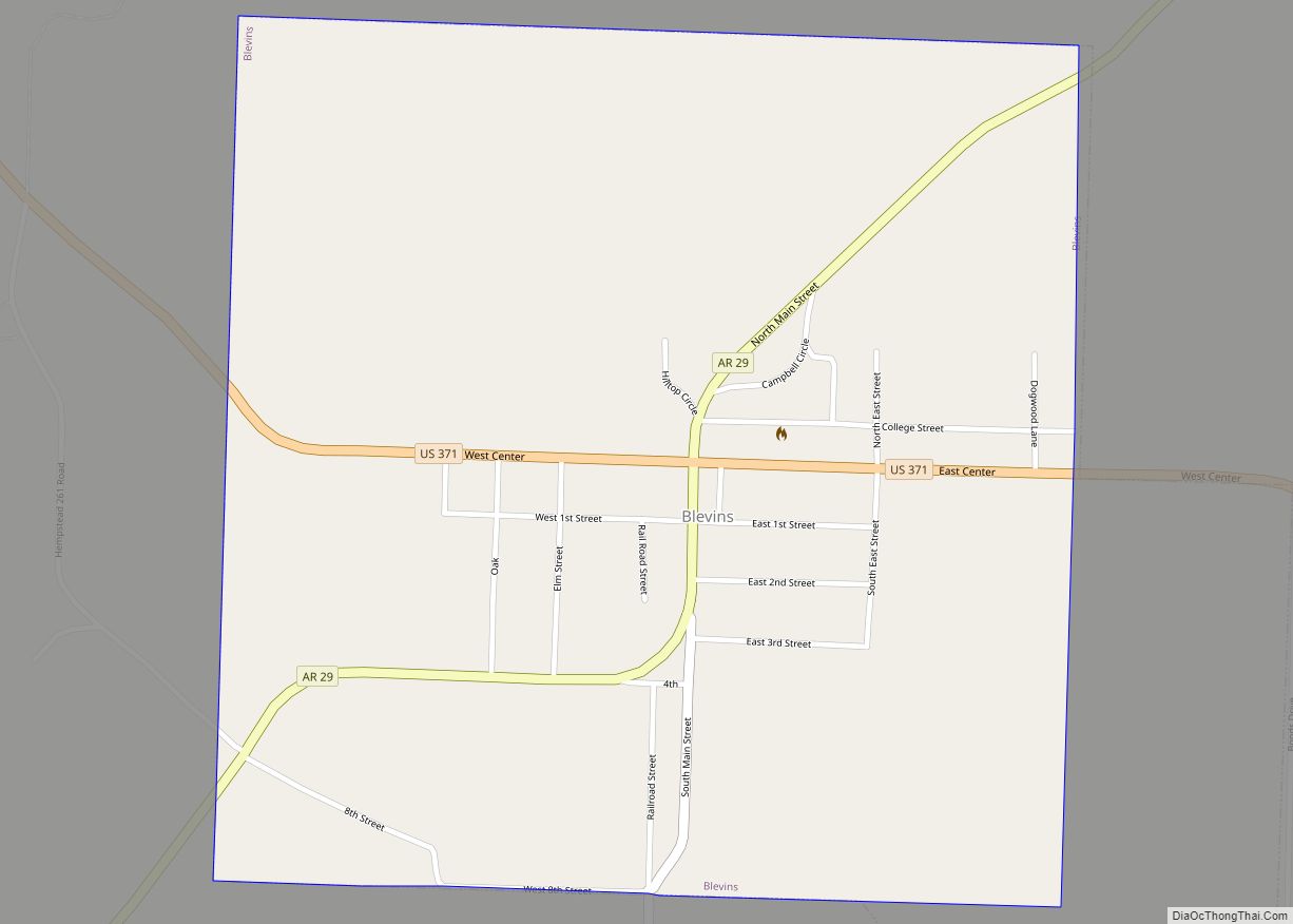
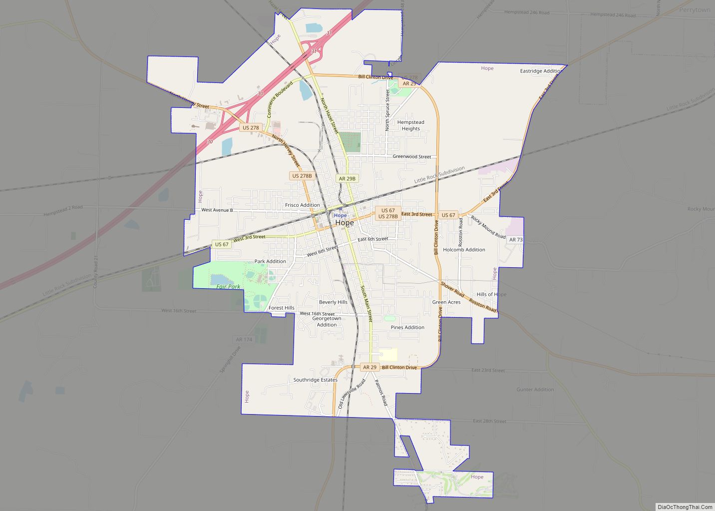
Hope Road Map
Hope city Satellite Map
Geography
According to the United States Census Bureau, the city has a total area of 10.2 square miles (26.3 km), of which 10.1 square miles (26.1 km) are land and 0.1 square miles (0.2 km), or 0.74%, are water.
See also
Map of Arkansas State and its subdivision:- Arkansas
- Ashley
- Baxter
- Benton
- Boone
- Bradley
- Calhoun
- Carroll
- Chicot
- Clark
- Clay
- Cleburne
- Cleveland
- Columbia
- Conway
- Craighead
- Crawford
- Crittenden
- Cross
- Dallas
- Desha
- Drew
- Faulkner
- Franklin
- Fulton
- Garland
- Grant
- Greene
- Hempstead
- Hot Spring
- Howard
- Independence
- Izard
- Jackson
- Jefferson
- Johnson
- Lafayette
- Lawrence
- Lee
- Lincoln
- Little River
- Logan
- Lonoke
- Madison
- Marion
- Miller
- Mississippi
- Monroe
- Montgomery
- Nevada
- Newton
- Ouachita
- Perry
- Phillips
- Pike
- Poinsett
- Polk
- Pope
- Prairie
- Pulaski
- Randolph
- Saint Francis
- Saline
- Scott
- Searcy
- Sebastian
- Sevier
- Sharp
- Stone
- Union
- Van Buren
- Washington
- White
- Woodruff
- Yell
- Alabama
- Alaska
- Arizona
- Arkansas
- California
- Colorado
- Connecticut
- Delaware
- District of Columbia
- Florida
- Georgia
- Hawaii
- Idaho
- Illinois
- Indiana
- Iowa
- Kansas
- Kentucky
- Louisiana
- Maine
- Maryland
- Massachusetts
- Michigan
- Minnesota
- Mississippi
- Missouri
- Montana
- Nebraska
- Nevada
- New Hampshire
- New Jersey
- New Mexico
- New York
- North Carolina
- North Dakota
- Ohio
- Oklahoma
- Oregon
- Pennsylvania
- Rhode Island
- South Carolina
- South Dakota
- Tennessee
- Texas
- Utah
- Vermont
- Virginia
- Washington
- West Virginia
- Wisconsin
- Wyoming
