Horseshoe Lake is a town in Crittenden County, Arkansas, United States. The population was 264 at the 2020 census.
The town is named after Horseshoe Lake, an oxbow lake at the eastern tip of which the town is located.
| Name: | Horseshoe Lake town |
|---|---|
| LSAD Code: | 43 |
| LSAD Description: | town (suffix) |
| State: | Arkansas |
| County: | Crittenden County |
| Elevation: | 200 ft (61 m) |
| Total Area: | 0.16 sq mi (0.41 km²) |
| Land Area: | 0.15 sq mi (0.40 km²) |
| Water Area: | 0.01 sq mi (0.02 km²) |
| Total Population: | 266 |
| Population Density: | 1,725.49/sq mi (665.13/km²) |
| FIPS code: | 0533375 |
| GNISfeature ID: | 1669459 |
Online Interactive Map
Click on ![]() to view map in "full screen" mode.
to view map in "full screen" mode.
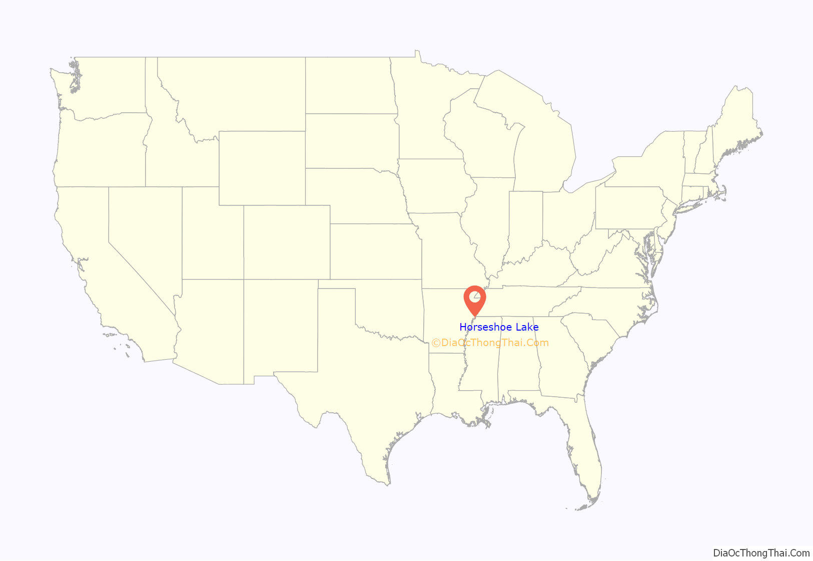
Horseshoe Lake location map. Where is Horseshoe Lake town?
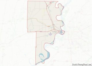
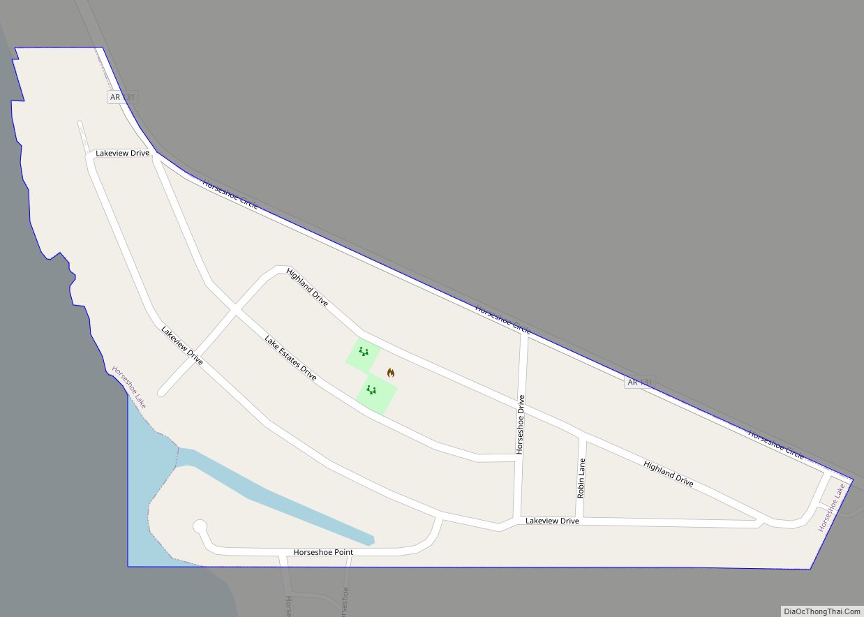
Horseshoe Lake Road Map
Horseshoe Lake city Satellite Map
Geography
Horseshoe Lake is located in southern Crittenden County at 34°54′46″N 90°18′27″W / 34.91278°N 90.30750°W / 34.91278; -90.30750 (34.912702, -90.307523). The Mississippi River is 2 miles (3 km) to the south.
According to the United States Census Bureau, the town has a total area of 0.14 square miles (0.35 km), all land.
The elevation of Horseshoe Lake is 203 feet (62 m) above sea level.
The Horseshoe Lake
The town of Horseshoe Lake is situated in the Mississippi River floodplain at the eastern tip of a horseshoe-shaped water body named Horseshoe Lake, which the town is named after. The Lake is a summer recreation spot for residents of nearby Memphis offering boating, swimming, and fishing.
Changes in the course of the Mississippi River resulted in the shape of the lake. The lake is a former meander in the Mississippi River that was cut off, shortening the river, and is no longer connected to the river.
Horseshoe shaped lakes or oxbow lakes are not unusual in the flat plains of the lower Mississippi and other rivers.
See also
Map of Arkansas State and its subdivision:- Arkansas
- Ashley
- Baxter
- Benton
- Boone
- Bradley
- Calhoun
- Carroll
- Chicot
- Clark
- Clay
- Cleburne
- Cleveland
- Columbia
- Conway
- Craighead
- Crawford
- Crittenden
- Cross
- Dallas
- Desha
- Drew
- Faulkner
- Franklin
- Fulton
- Garland
- Grant
- Greene
- Hempstead
- Hot Spring
- Howard
- Independence
- Izard
- Jackson
- Jefferson
- Johnson
- Lafayette
- Lawrence
- Lee
- Lincoln
- Little River
- Logan
- Lonoke
- Madison
- Marion
- Miller
- Mississippi
- Monroe
- Montgomery
- Nevada
- Newton
- Ouachita
- Perry
- Phillips
- Pike
- Poinsett
- Polk
- Pope
- Prairie
- Pulaski
- Randolph
- Saint Francis
- Saline
- Scott
- Searcy
- Sebastian
- Sevier
- Sharp
- Stone
- Union
- Van Buren
- Washington
- White
- Woodruff
- Yell
- Alabama
- Alaska
- Arizona
- Arkansas
- California
- Colorado
- Connecticut
- Delaware
- District of Columbia
- Florida
- Georgia
- Hawaii
- Idaho
- Illinois
- Indiana
- Iowa
- Kansas
- Kentucky
- Louisiana
- Maine
- Maryland
- Massachusetts
- Michigan
- Minnesota
- Mississippi
- Missouri
- Montana
- Nebraska
- Nevada
- New Hampshire
- New Jersey
- New Mexico
- New York
- North Carolina
- North Dakota
- Ohio
- Oklahoma
- Oregon
- Pennsylvania
- Rhode Island
- South Carolina
- South Dakota
- Tennessee
- Texas
- Utah
- Vermont
- Virginia
- Washington
- West Virginia
- Wisconsin
- Wyoming
