Marion is a city in and the county seat of Crittenden County, Arkansas, United States. The population was 12,345 at the 2010 census, a 38.7% increase since 2000. The city is part of the Memphis metropolitan area. It is the second largest city in Crittenden County, behind West Memphis.
| Name: | Marion city |
|---|---|
| LSAD Code: | 25 |
| LSAD Description: | city (suffix) |
| State: | Arkansas |
| County: | Crittenden County |
| Elevation: | 223 ft (68 m) |
| Total Area: | 20.12 sq mi (52.11 km²) |
| Land Area: | 20.04 sq mi (51.91 km²) |
| Water Area: | 0.08 sq mi (0.20 km²) |
| Total Population: | 13,752 |
| Population Density: | 686.12/sq mi (264.91/km²) |
| ZIP code: | 72364 |
| Area code: | 870 |
| FIPS code: | 0544180 |
| GNISfeature ID: | 0077597 |
| Website: | www.marionar.org |
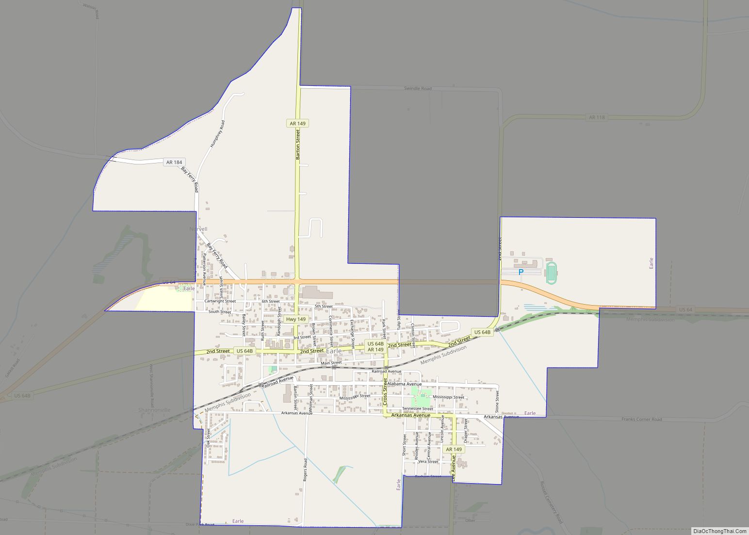
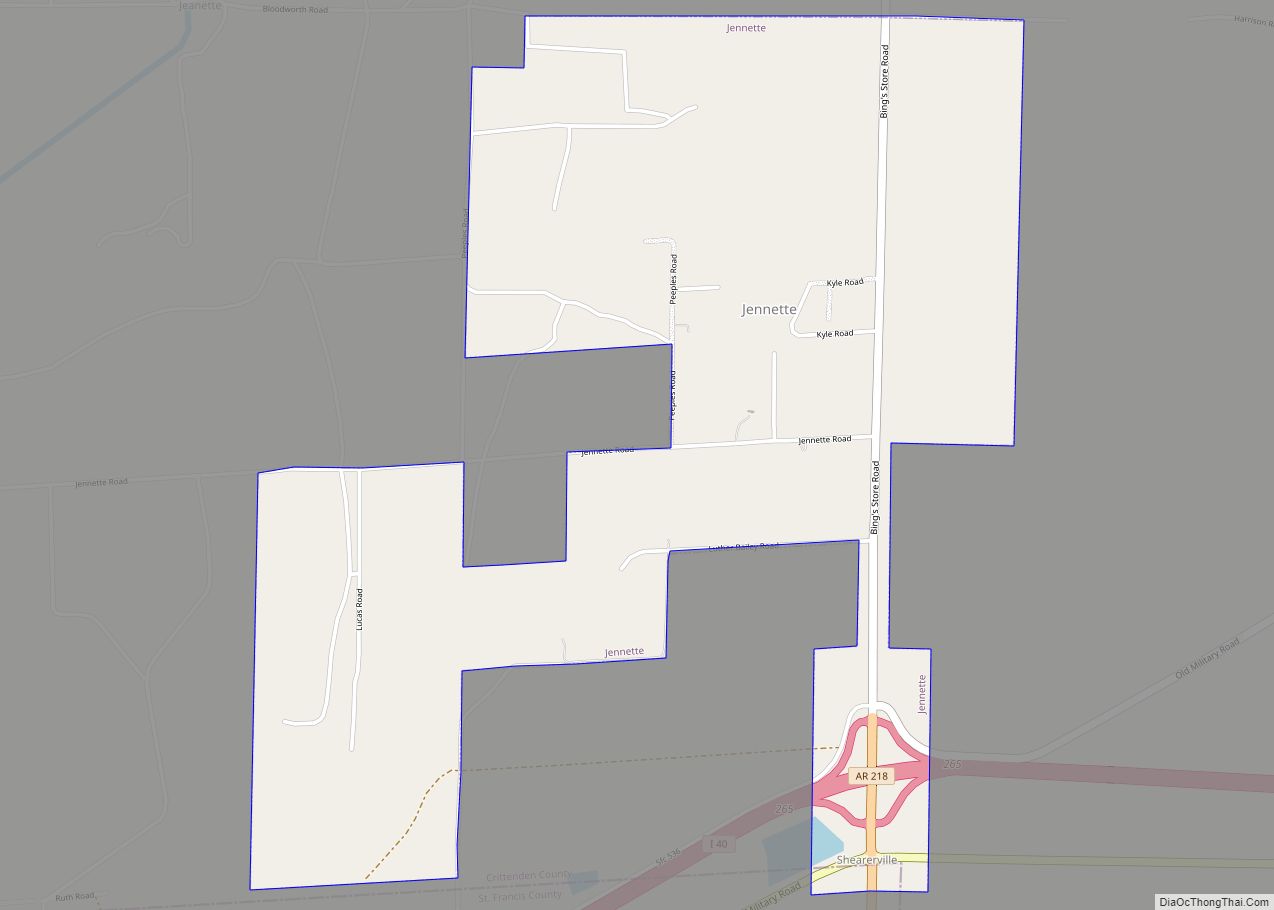
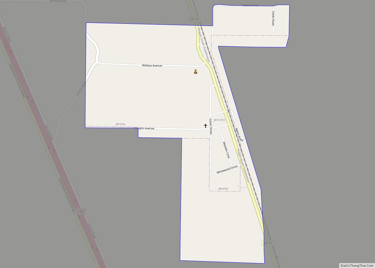
Online Interactive Map
Click on ![]() to view map in "full screen" mode.
to view map in "full screen" mode.
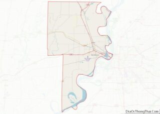
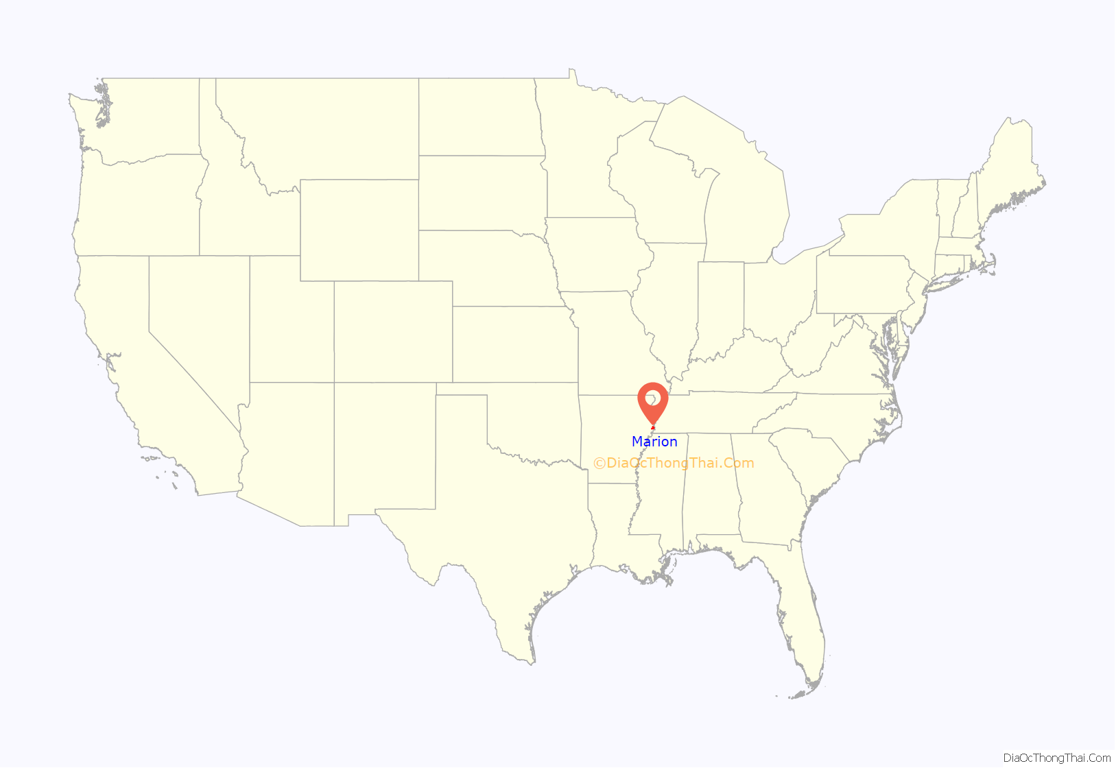
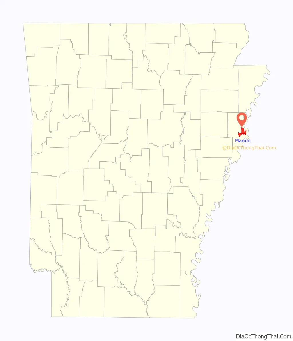
Marion location map. Where is Marion city?
History
Although Marion was incorporated in 1896, the community predates that significantly. The site of Marion was part of Louisiana (New Spain) from 1764 to 1803, when it became Louisiana (New France). Some of the oldest land titles in the area are from Spanish land grants from a time prior to the Louisiana Purchase. After the Louisiana Purchase the area was part of the Arkansas Territory. During the 1830s the Trail of Tears, the forced removal of Native Americans from Georgia, Alabama, and Mississippi, passed through the area. Its location is close to where the Sultana Steamboat exploded and sunk. A memorial is placed on the city hall square to remember those who were lost in the accident.
Marion, Arkansas was named after Marion Tolbert. In 1837, two commissioners had been appointed by the county court to select a site for a new county seat. Tolbert and his wife, Temperance, gave a deed to the commissioners “for the county of Crittenden for county purposes” on June 25, 1837. A town was laid out and named Marion in honor of Marion Tolbert. The town of Marion was officially made the county seat of Crittenden County, Arkansas. Marion has been incorporated on multiple occasions, first in 1851. The current incorporation dates from 1896.
During the American Civil War the steamboat Sultana was destroyed in an explosion on April 27, 1865, as it was transporting released Union POWs near Mound City, just east of Marion. It is estimated that 1,500 soldiers and crew were killed, the largest loss of life in a maritime accident in US history. This tragedy is commemorated by a historic marker placed by the Daughters of the American Revolution.
In 1954, a local Black man, Isadore Banks was murdered by a mob in the town. He was chained to a tree, covered with gasoline and burned. Nobody was ever charged in the killing.
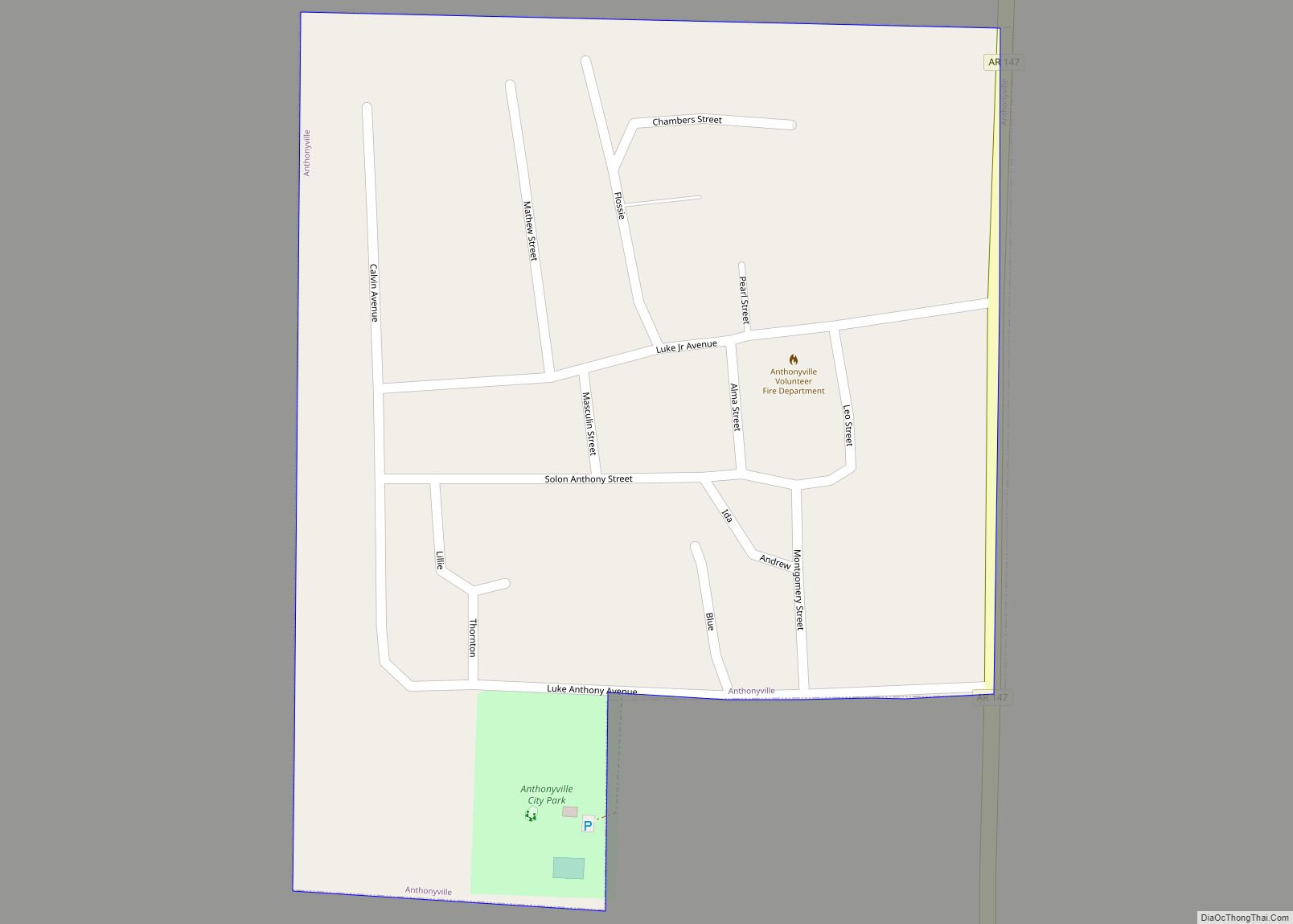
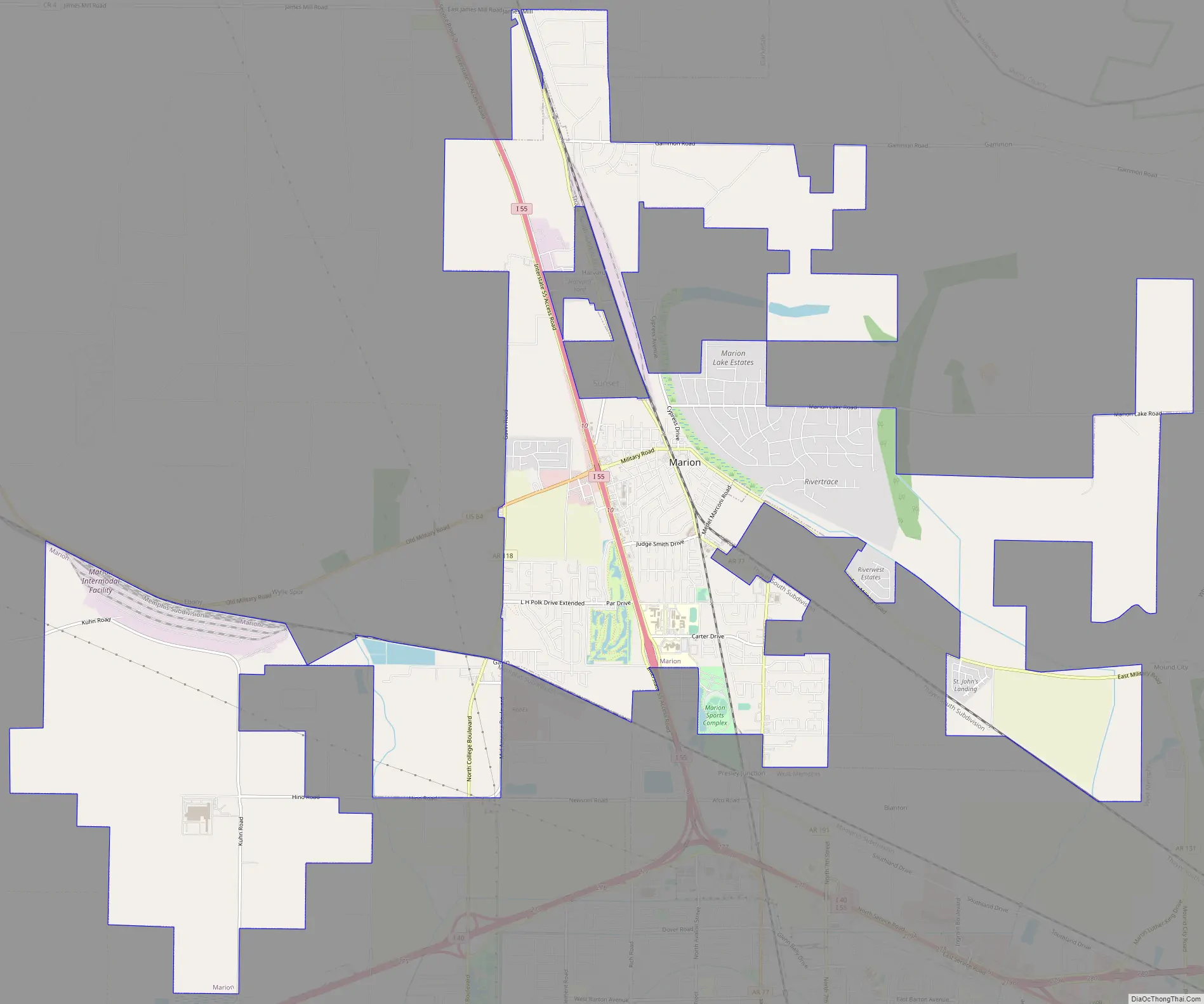
Marion Road Map
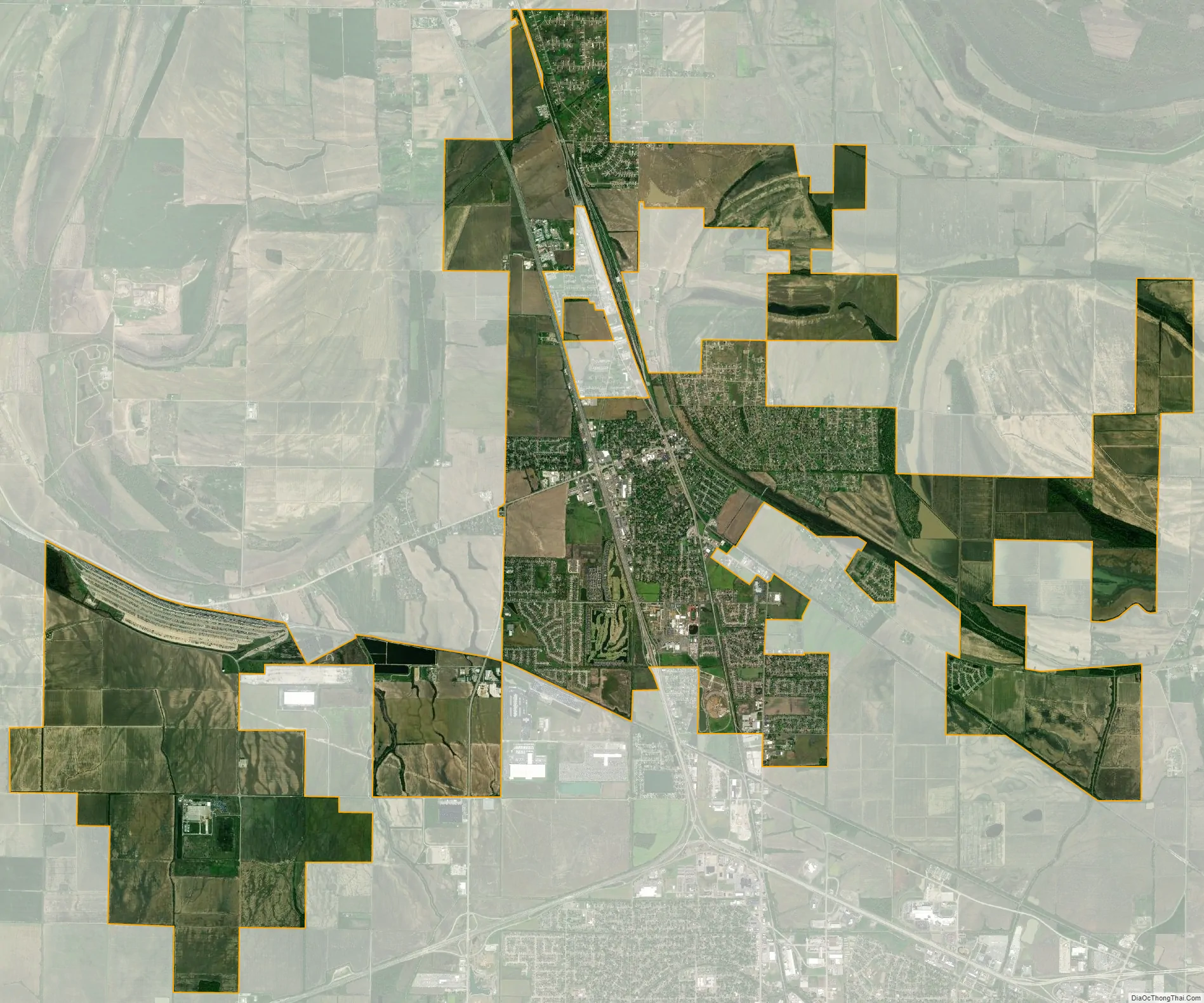
Marion city Satellite Map
Geography
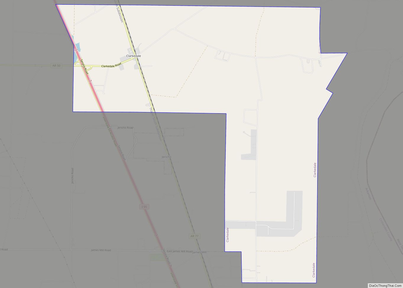
Marion is located in eastern Crittenden County at 35°12′22″N 90°12′6″W / 35.20611°N 90.20167°W / 35.20611; -90.20167 (35.206092, -90.201734). According to the United States Census Bureau, Marion has a total area of 20.5 square miles (53.1 km), of which 20.4 square miles (52.9 km) is land and 0.077 square miles (0.2 km), or 0.37%, is water. It is bordered by the city of West Memphis to the south and by Sunset and Clarkedale to the north.
Ecologically, Marion is located on the border between the Northern Backswamps (west Marion) and Northern Holocene Meander Belts (east Marion) ecoregions within the larger Mississippi Alluvial Plain. The Northern Backswamps are a network of low-lying overflow areas and floodplains historically dominated by bald cypress, water tupelo, overcup oak, water hickory, and Nuttall oak forest subject to year-round or seasonal inundation. The Northern Holocene Meander Belts are the flat floodplains and former alignments of the Mississippi River, including levees, oxbow lakes, and point bars. Much of the wetlands and riverine habitat have been drained and developed for agricultural or urban land uses. The Wapanocca National Wildlife Refuge, which preserves some of the year-round flooded bald cypress forest typical of this ecoregion prior to development for row agriculture lies north of Marion.
Marion is 11 miles (18 km) west of Memphis, Tennessee, which has a humid subtropical climate.
See also
Map of Arkansas State and its subdivision:- Arkansas
- Ashley
- Baxter
- Benton
- Boone
- Bradley
- Calhoun
- Carroll
- Chicot
- Clark
- Clay
- Cleburne
- Cleveland
- Columbia
- Conway
- Craighead
- Crawford
- Crittenden
- Cross
- Dallas
- Desha
- Drew
- Faulkner
- Franklin
- Fulton
- Garland
- Grant
- Greene
- Hempstead
- Hot Spring
- Howard
- Independence
- Izard
- Jackson
- Jefferson
- Johnson
- Lafayette
- Lawrence
- Lee
- Lincoln
- Little River
- Logan
- Lonoke
- Madison
- Marion
- Miller
- Mississippi
- Monroe
- Montgomery
- Nevada
- Newton
- Ouachita
- Perry
- Phillips
- Pike
- Poinsett
- Polk
- Pope
- Prairie
- Pulaski
- Randolph
- Saint Francis
- Saline
- Scott
- Searcy
- Sebastian
- Sevier
- Sharp
- Stone
- Union
- Van Buren
- Washington
- White
- Woodruff
- Yell
- Alabama
- Alaska
- Arizona
- Arkansas
- California
- Colorado
- Connecticut
- Delaware
- District of Columbia
- Florida
- Georgia
- Hawaii
- Idaho
- Illinois
- Indiana
- Iowa
- Kansas
- Kentucky
- Louisiana
- Maine
- Maryland
- Massachusetts
- Michigan
- Minnesota
- Mississippi
- Missouri
- Montana
- Nebraska
- Nevada
- New Hampshire
- New Jersey
- New Mexico
- New York
- North Carolina
- North Dakota
- Ohio
- Oklahoma
- Oregon
- Pennsylvania
- Rhode Island
- South Carolina
- South Dakota
- Tennessee
- Texas
- Utah
- Vermont
- Virginia
- Washington
- West Virginia
- Wisconsin
- Wyoming