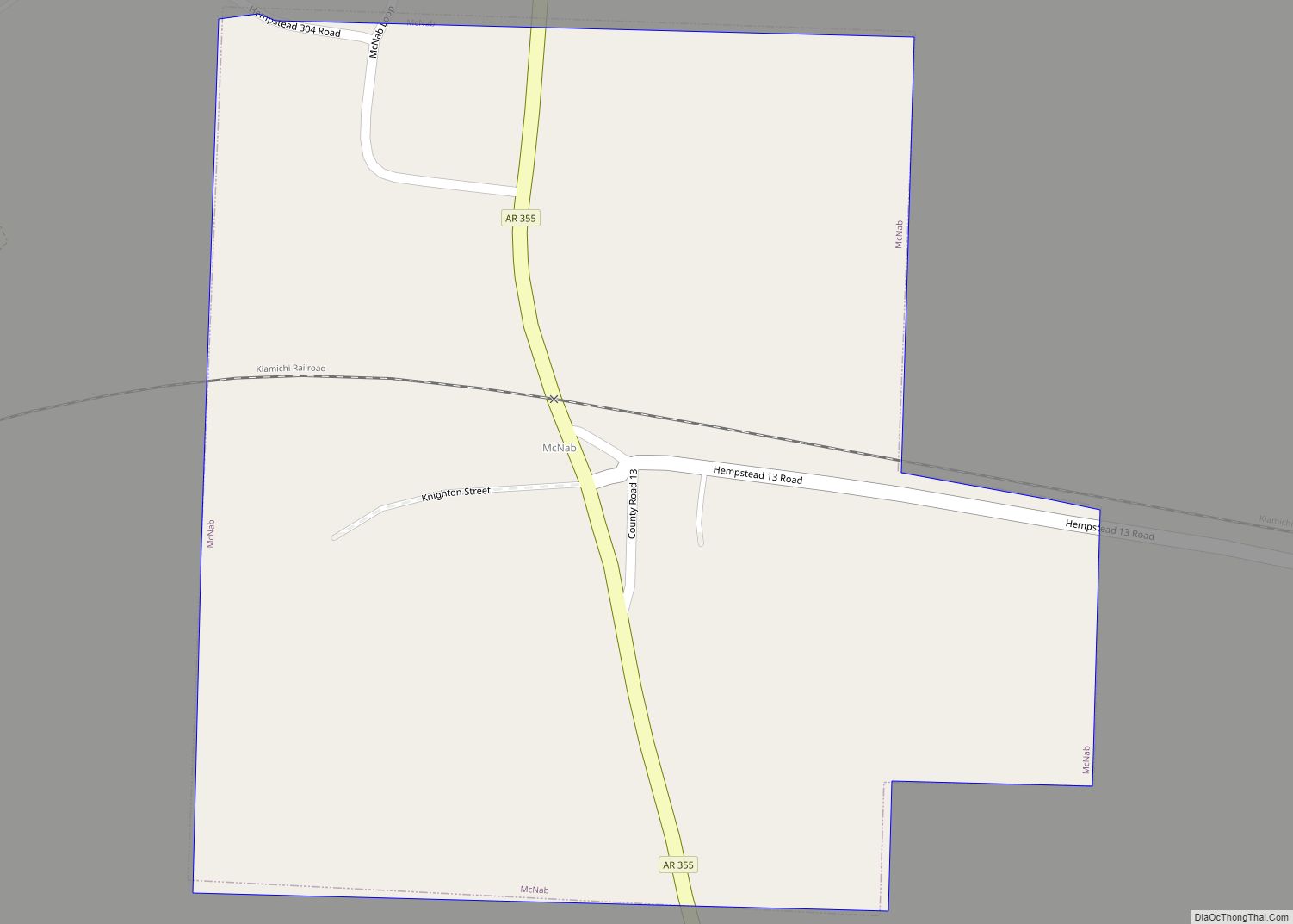
McNab is a town in Hempstead County, Arkansas, United States. The population was 68 at the 2010 census, up from 37 in 2000. It is part of the Hope Micropolitan Statistical Area.
| Name: | McNab town |
|---|---|
| LSAD Code: | 43 |
| LSAD Description: | town (suffix) |
| State: | Arkansas |
| County: | Hempstead County |
| Elevation: | 318 ft (97 m) |
| Total Area: | 0.34 sq mi (0.89 km²) |
| Land Area: | 0.34 sq mi (0.89 km²) |
| Water Area: | 0.00 sq mi (0.00 km²) |
| Total Population: | 30 |
| Population Density: | 87.46/sq mi (33.78/km²) |
| FIPS code: | 0543070 |
| GNISfeature ID: | 0051870 |
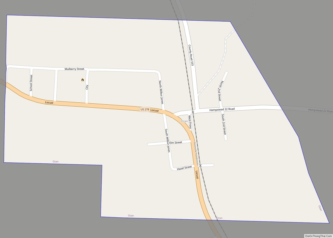
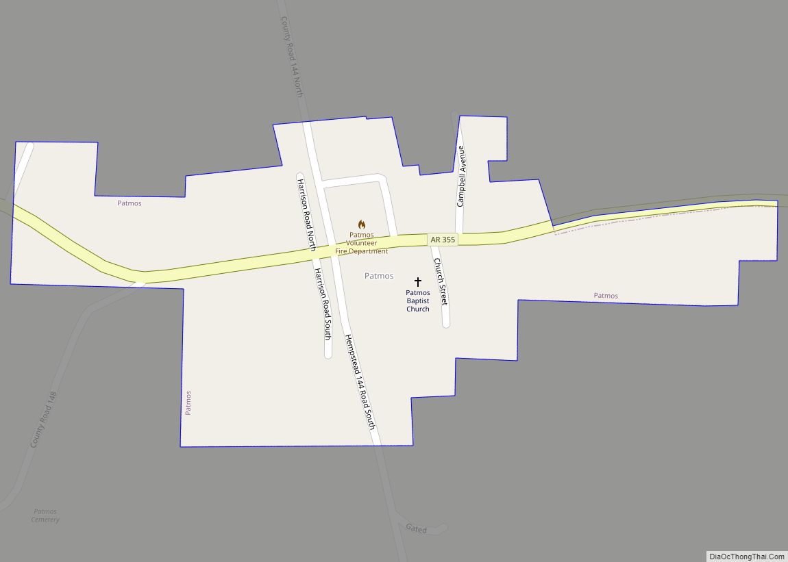
Online Interactive Map
Click on ![]() to view map in "full screen" mode.
to view map in "full screen" mode.
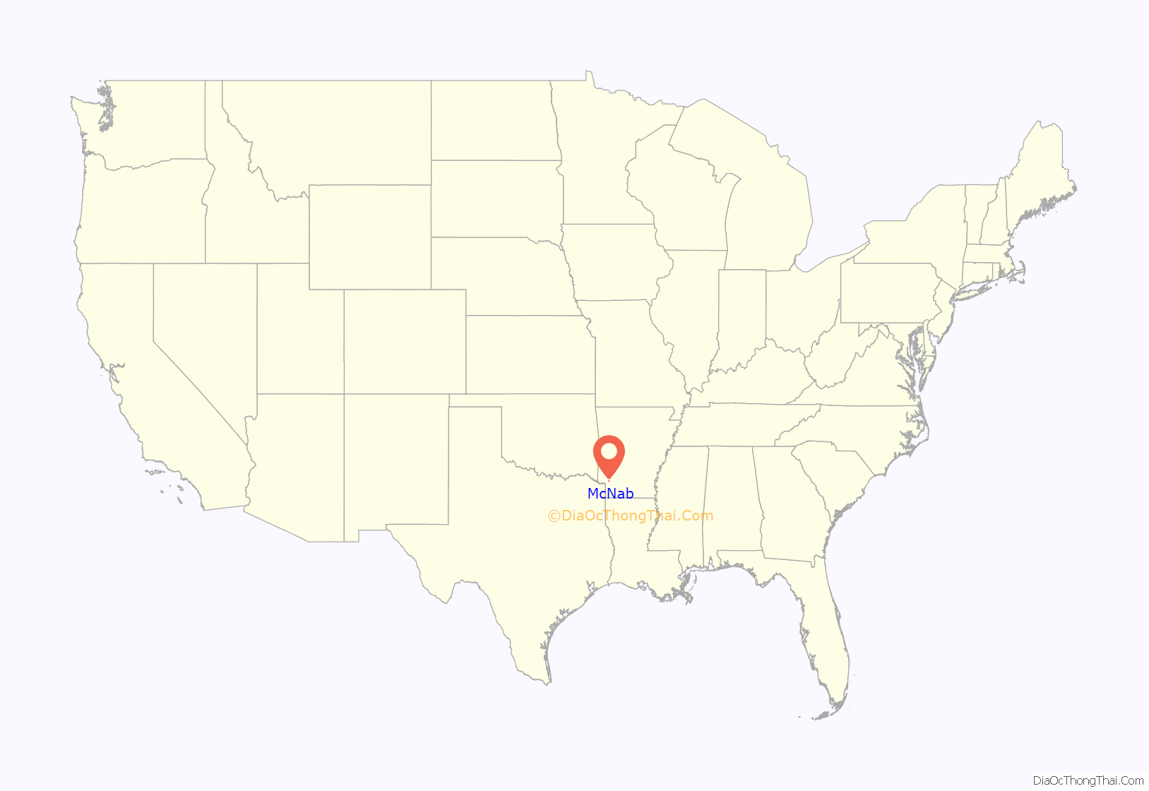
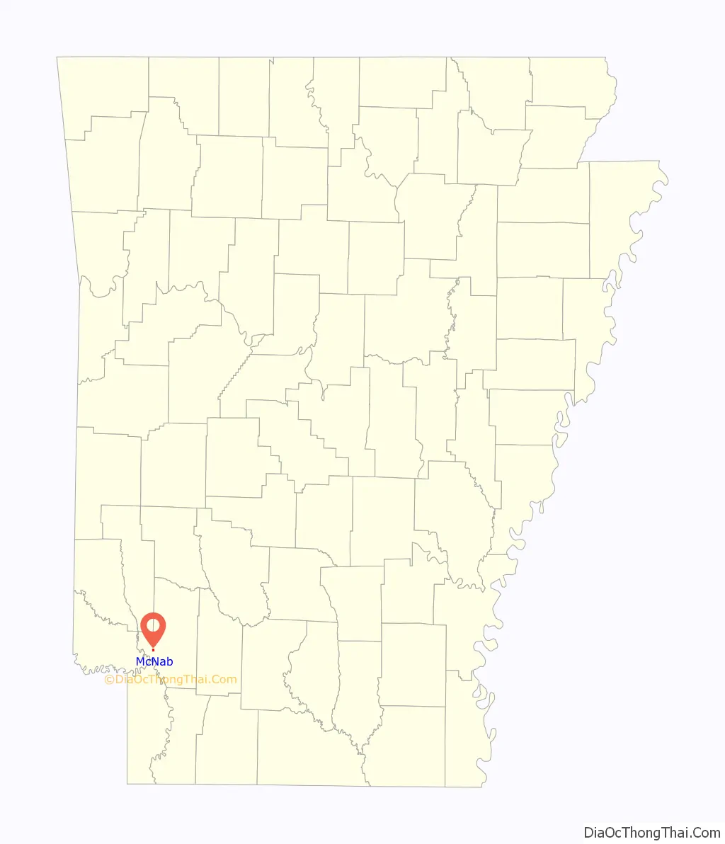
McNab location map. Where is McNab town?
History
In 1860, Charles McNab, who had emigrated to the United States in 1841 from Muthill, Perthshire, Scotland, bought land in the Red River valley not far from the town of Fulton. McNab, a carpenter, had married into a plantation-owning family in Alabama which later sold their Alabama land and moved to property at Summer Grove, near Shreveport, Louisiana. Though the Arkansas property was acquired by him in 1860, the Civil War prevented McNab from cultivating his new property. After the war, in 1865, he came up and planted cotton there. Soon, he and his wife and young son, together with a number of newly freed slaves, moved from Louisiana to live on and work the new farm. When the St. Louis–San Francisco Railway (Frisco) came through the area 30 years later, a small passenger and freight station was built, and a post office to serve the small community was set up across the road in the back of the general store that was operated by the McNabs. Custom of the time allowed the person who operated the post office to give it a name. Mrs. Charles F. McNab, who was the postmistress, named it “McNab”. Her son, Charles West McNab, who had farmed the land until 1927 and was the only grandson of the original owner, sold the last 40 acres (160,000 m) of family property there in 1956.
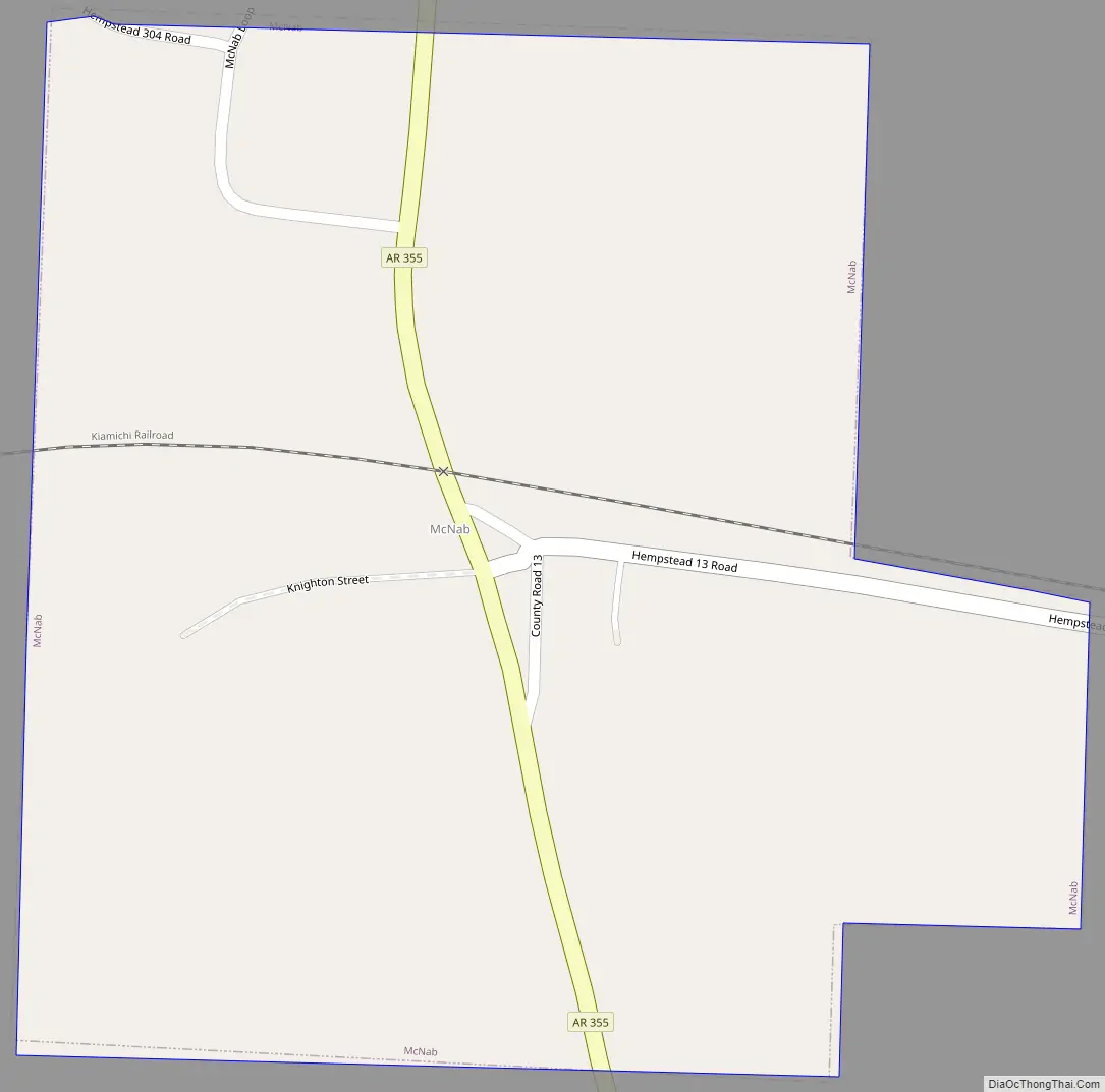
McNab Road Map
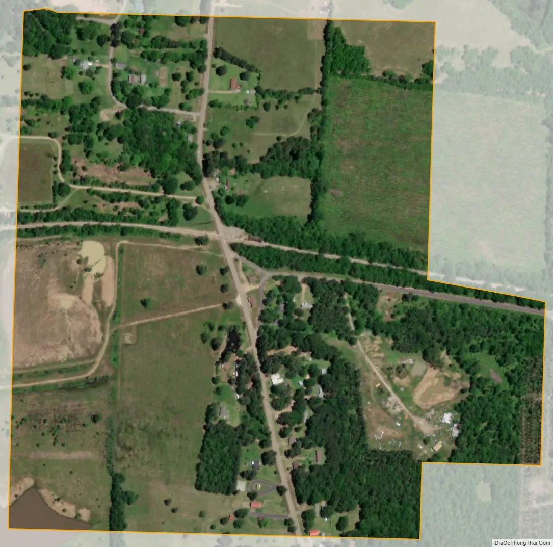
McNab city Satellite Map
Geography
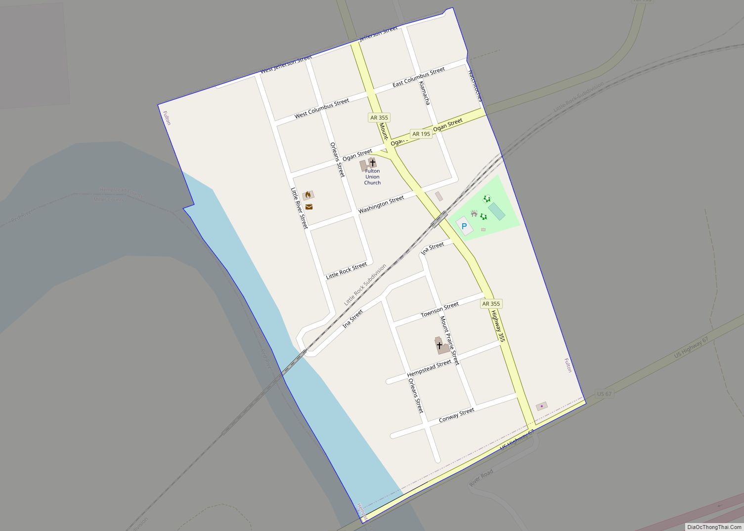
McNab is located in western Hempstead County at 33°39′39″N 93°49′57″W / 33.66083°N 93.83250°W / 33.66083; -93.83250 (33.660770, -93.832374). Arkansas Highway 355 passes through the town, leading north 13 miles (21 km) to Tollette and south 3.5 miles (5.6 km) to Fulton on the Red River.
According to the United States Census Bureau, McNab has a total area of 0.3 square miles (0.9 km), all land.
See also
Map of Arkansas State and its subdivision:- Arkansas
- Ashley
- Baxter
- Benton
- Boone
- Bradley
- Calhoun
- Carroll
- Chicot
- Clark
- Clay
- Cleburne
- Cleveland
- Columbia
- Conway
- Craighead
- Crawford
- Crittenden
- Cross
- Dallas
- Desha
- Drew
- Faulkner
- Franklin
- Fulton
- Garland
- Grant
- Greene
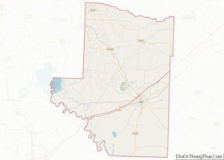
- Hempstead
- Hot Spring
- Howard
- Independence
- Izard
- Jackson
- Jefferson
- Johnson
- Lafayette
- Lawrence
- Lee
- Lincoln
- Little River
- Logan
- Lonoke
- Madison
- Marion
- Miller
- Mississippi
- Monroe
- Montgomery
- Nevada
- Newton
- Ouachita
- Perry
- Phillips
- Pike
- Poinsett
- Polk
- Pope
- Prairie
- Pulaski
- Randolph
- Saint Francis
- Saline
- Scott
- Searcy
- Sebastian
- Sevier
- Sharp
- Stone
- Union
- Van Buren
- Washington
- White
- Woodruff
- Yell
- Alabama
- Alaska
- Arizona
- Arkansas
- California
- Colorado
- Connecticut
- Delaware
- District of Columbia
- Florida
- Georgia
- Hawaii
- Idaho
- Illinois
- Indiana
- Iowa
- Kansas
- Kentucky
- Louisiana
- Maine
- Maryland
- Massachusetts
- Michigan
- Minnesota
- Mississippi
- Missouri
- Montana
- Nebraska
- Nevada
- New Hampshire
- New Jersey
- New Mexico
- New York
- North Carolina
- North Dakota
- Ohio
- Oklahoma
- Oregon
- Pennsylvania
- Rhode Island
- South Carolina
- South Dakota
- Tennessee
- Texas
- Utah
- Vermont
- Virginia
- Washington
- West Virginia
- Wisconsin
- Wyoming