Auburndale is a city in Polk County, Florida, United States. The population was 15,616 at the 2020 census. It is part of the Lakeland-Winter Haven, Florida Metropolitan Statistical Area.
| Name: | Auburndale city |
|---|---|
| LSAD Code: | 25 |
| LSAD Description: | city (suffix) |
| State: | Florida |
| County: | Polk County |
| Incorporated: | 1911 |
| Elevation: | 141 ft (43 m) |
| Total Area: | 20.58 sq mi (53.30 km²) |
| Land Area: | 13.56 sq mi (35.12 km²) |
| Water Area: | 7.02 sq mi (18.19 km²) |
| Total Population: | 15,616 |
| Population Density: | 1,151.79/sq mi (444.70/km²) |
| ZIP code: | 33823 |
| Area code: | 863 |
| FIPS code: | 1202550 |
| GNISfeature ID: | 2403135 |
| Website: | http://www.auburndalefl.com |
Online Interactive Map
Click on ![]() to view map in "full screen" mode.
to view map in "full screen" mode.
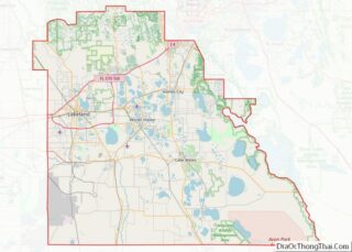
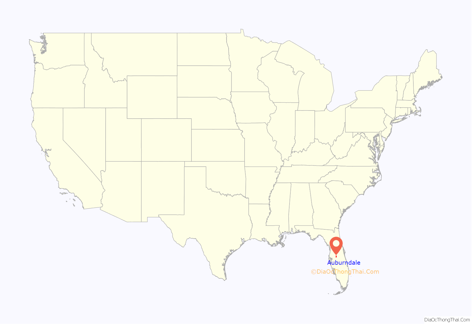
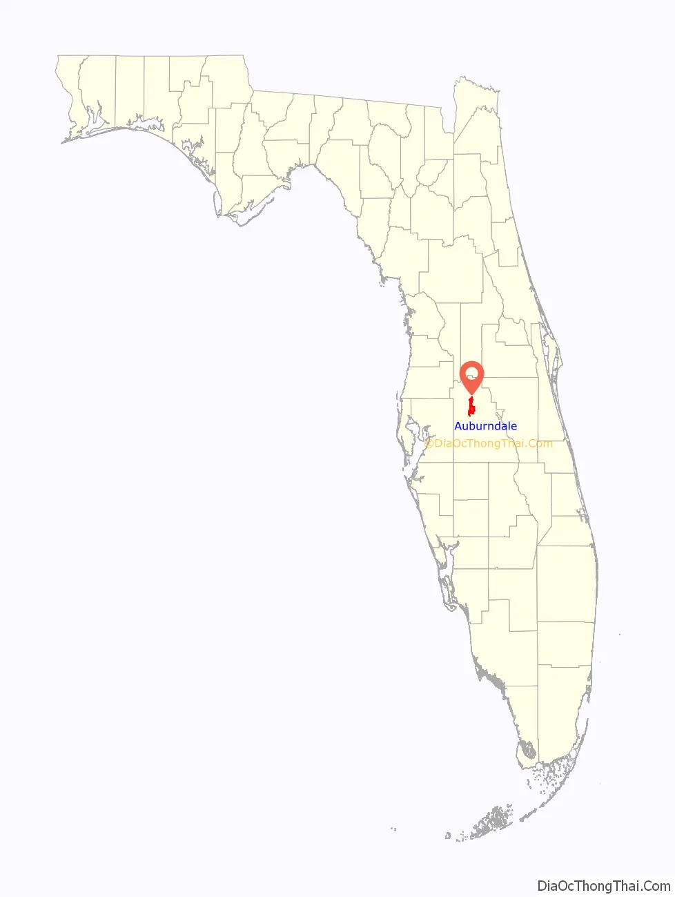
Auburndale location map. Where is Auburndale city?
History
Auburndale was founded in 1880 by Frank Fuller, who was seeking refuge from chilly winters in the Northeast United States. The place was originally named Sanatoria, from a hotel located there. When the railroad arrived in the 1880s, the town was renamed Auburndale at the suggestion of settlers from Auburndale, Massachusetts. The New England town had been named from the opening line of the poem “The Deserted Village” by Oliver Goldsmith. Early on, the city became a chosen destination for a number of America’s most prominent artists.
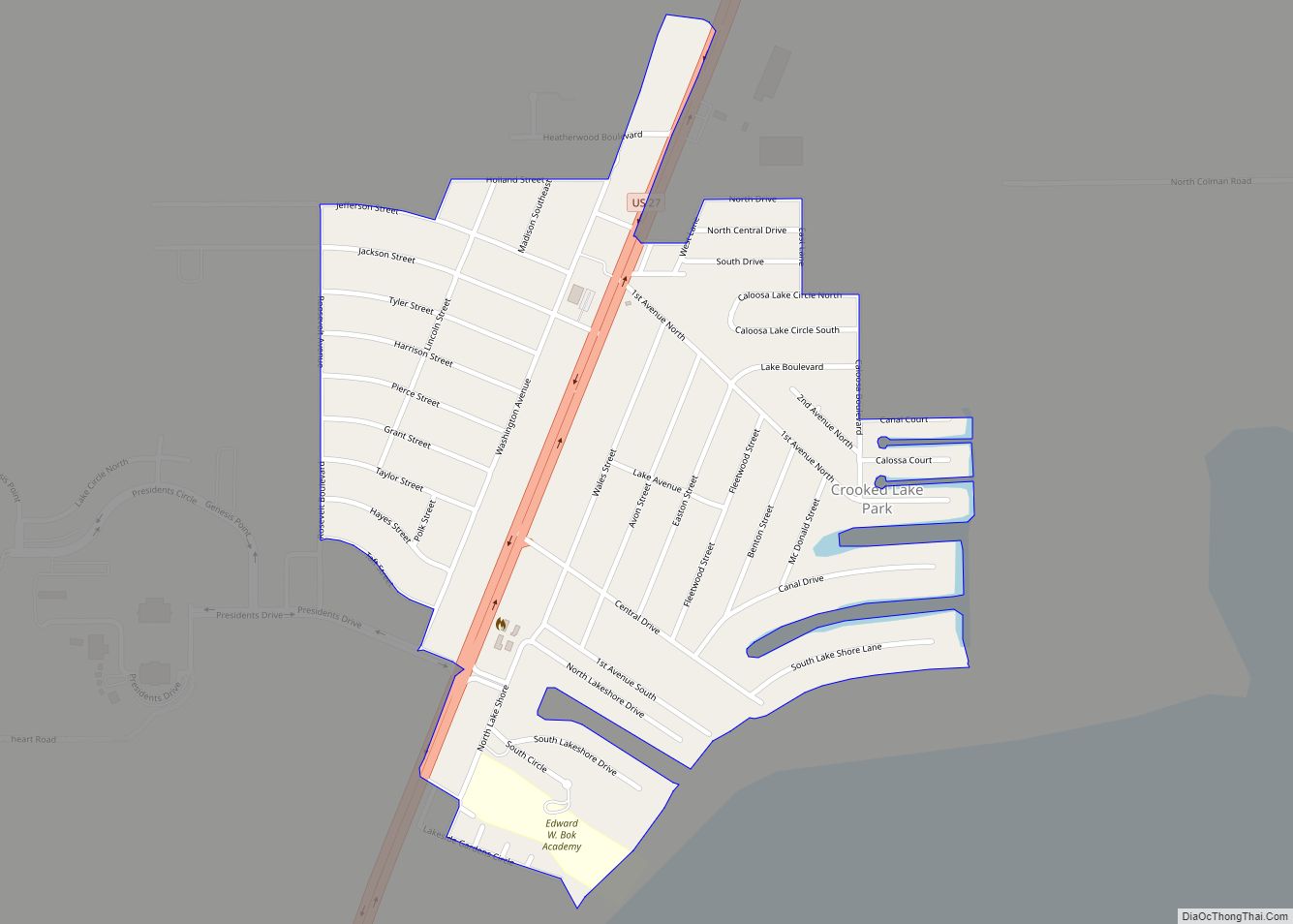
Auburndale Road Map

Auburndale city Satellite Map

Geography
The city is located 40 miles (64 km) northeast of Tampa and 59 miles (95 km) southwest of Orlando. Auburndale is located within the Central Florida Highlands area of the Atlantic coastal plain with a terrain consisting of flatland interspersed with gently rolling hills.
According to the United States Census Bureau, the city has a total area of 9.3 square miles (24 km), of which 5.2 square miles (13 km) is land and 4.1 square miles (11 km) (43.87%) is water.
Auburndale is located in the humid subtropical zone, as designated by (Köppen climate classification: Cfa).
See also
Map of Florida State and its subdivision:- Alachua
- Baker
- Bay
- Bradford
- Brevard
- Broward
- Calhoun
- Charlotte
- Citrus
- Clay
- Collier
- Columbia
- Desoto
- Dixie
- Duval
- Escambia
- Flagler
- Franklin
- Gadsden
- Gilchrist
- Glades
- Gulf
- Hamilton
- Hardee
- Hendry
- Hernando
- Highlands
- Hillsborough
- Holmes
- Indian River
- Jackson
- Jefferson
- Lafayette
- Lake
- Lee
- Leon
- Levy
- Liberty
- Madison
- Manatee
- Marion
- Martin
- Miami-Dade
- Monroe
- Nassau
- Okaloosa
- Okeechobee
- Orange
- Osceola
- Palm Beach
- Pasco
- Pinellas
- Polk
- Putnam
- Saint Johns
- Saint Lucie
- Santa Rosa
- Sarasota
- Seminole
- Sumter
- Suwannee
- Taylor
- Union
- Volusia
- Wakulla
- Walton
- Washington
- Alabama
- Alaska
- Arizona
- Arkansas
- California
- Colorado
- Connecticut
- Delaware
- District of Columbia
- Florida
- Georgia
- Hawaii
- Idaho
- Illinois
- Indiana
- Iowa
- Kansas
- Kentucky
- Louisiana
- Maine
- Maryland
- Massachusetts
- Michigan
- Minnesota
- Mississippi
- Missouri
- Montana
- Nebraska
- Nevada
- New Hampshire
- New Jersey
- New Mexico
- New York
- North Carolina
- North Dakota
- Ohio
- Oklahoma
- Oregon
- Pennsylvania
- Rhode Island
- South Carolina
- South Dakota
- Tennessee
- Texas
- Utah
- Vermont
- Virginia
- Washington
- West Virginia
- Wisconsin
- Wyoming