Avon Park is a city in Highlands County, Florida, United States. As of the 2010 census the population was 8,836, and in 2018 the estimated population was 10,695. It is the oldest city in Highlands County, and was named after Stratford-upon-Avon, England.
| Name: | Avon Park city |
|---|---|
| LSAD Code: | 25 |
| LSAD Description: | city (suffix) |
| State: | Florida |
| County: | Highlands County |
| Elevation: | 121 ft (37 m) |
| Total Area: | 10.45 sq mi (27.06 km²) |
| Land Area: | 10.13 sq mi (26.24 km²) |
| Water Area: | 0.32 sq mi (0.82 km²) 12.4% |
| Total Population: | 9,658 |
| Population Density: | 953.31/sq mi (368.08/km²) |
| ZIP code: | 33825-33826 |
| Area code: | 863 |
| FIPS code: | 1202750 |
| GNISfeature ID: | 0278007 |
| Website: | www.avonpark.cc |
Online Interactive Map
Click on ![]() to view map in "full screen" mode.
to view map in "full screen" mode.
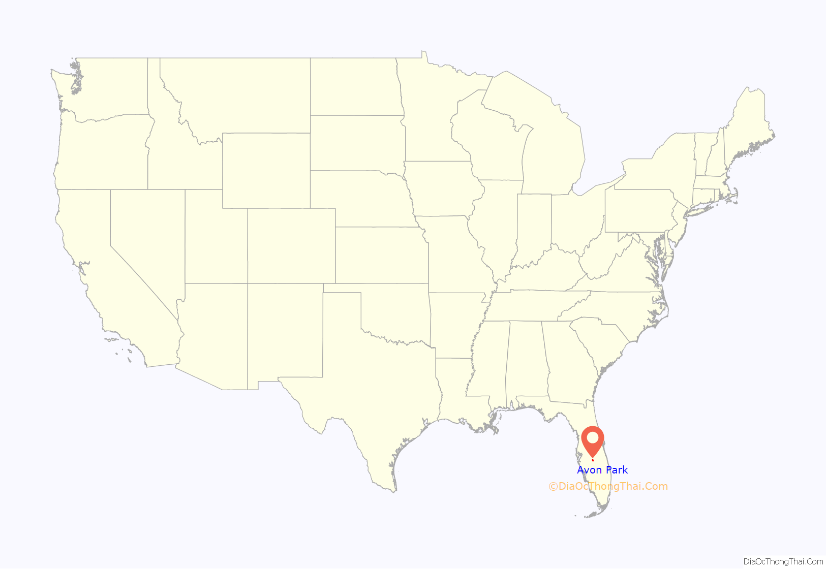
Avon Park location map. Where is Avon Park city?
History
The first permanent white settler in Avon Park was Oliver Martin Crosby, a Connecticut native who moved to the area in 1884 to study the wildlife of the Everglades. By 1886, enough people had followed that the town of “Lake Forest” was founded. As president of the Florida Development Company, he recruited settlers to the area, many of whom were from England, including many from the town of Stratford-upon-Avon, who gave the town its name.
In 2006, then-mayor Thomas Macklin (Republican) proposed City Ordinance 08-06, which would have blocked the issuance or renewal of city licenses to businesses that hired undocumented aliens, fined any property owner who rented and leased property to undocumented aliens, and established English as the city’s official language, banning the use of other languages during the conduct of official business except where specified under state or federal law. The ordinance was defeated by the city council, on a 3–2 vote.
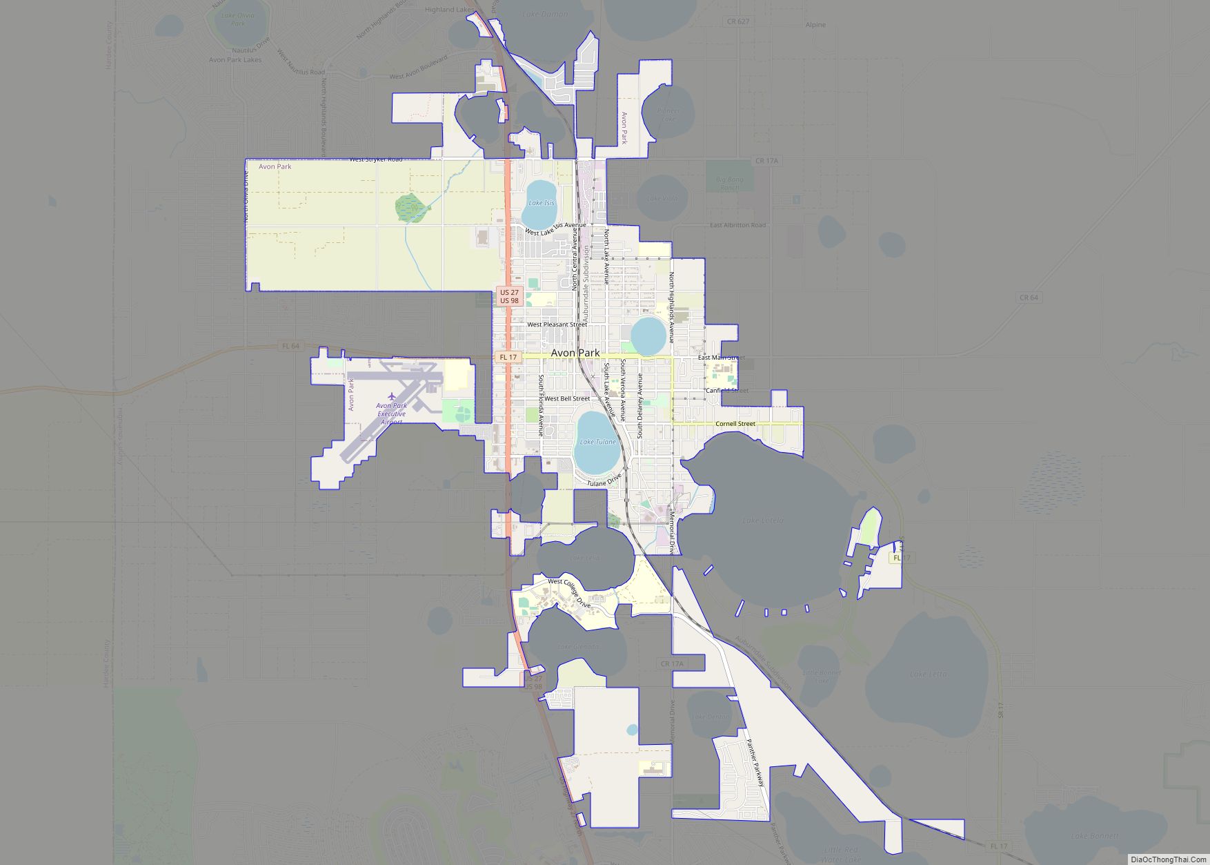
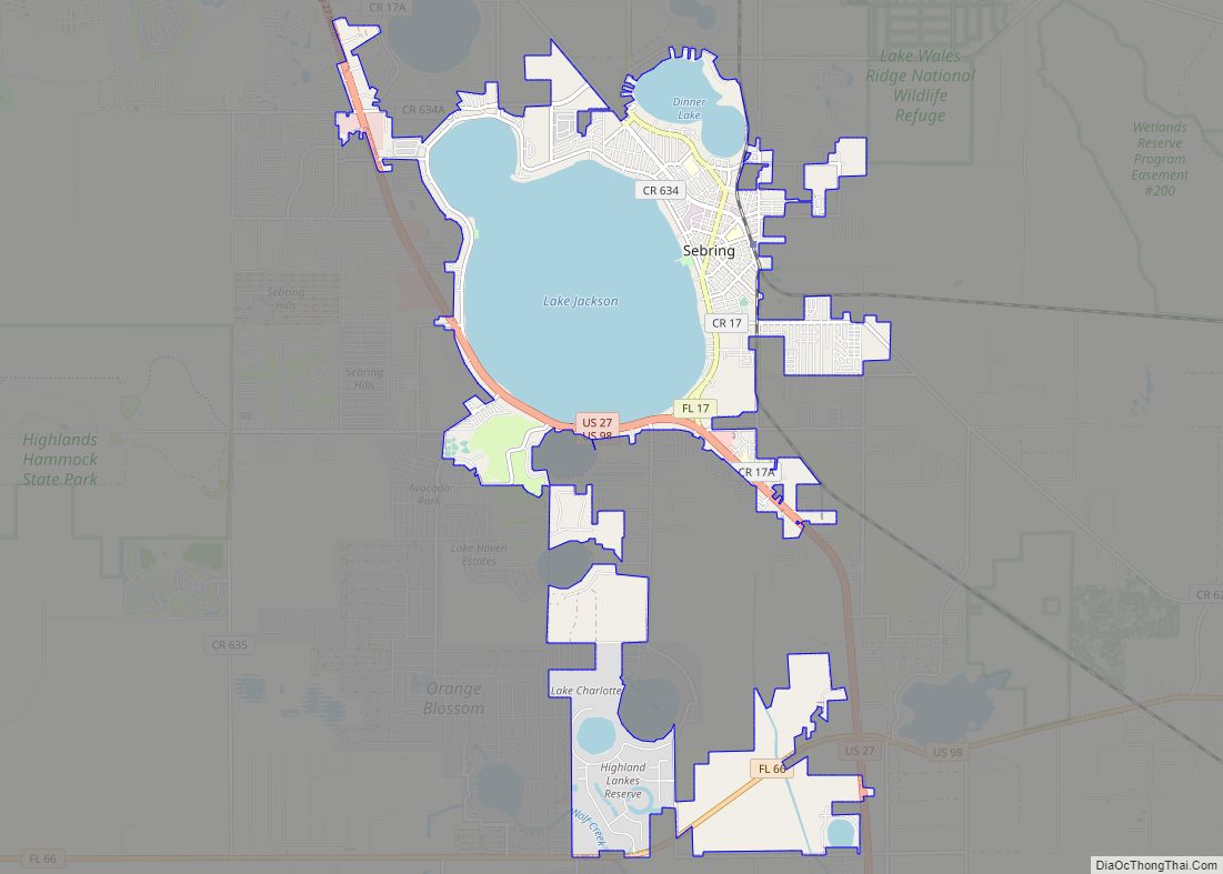
Avon Park Road Map
Avon Park city Satellite Map
Geography
Avon Park is located in northwestern Highlands County at 27°35′40″N 81°30′12″W / 27.59444°N 81.50333°W / 27.59444; -81.50333 (27.594418, –81.503437). 27/98 is the main highway through the city, leading north 23 miles (37 km) to Lake Wales and south 10 miles (16 km) to Sebring. Florida State Road 17 (Main Street) leads east through the center of Avon Park, then south 10 miles to the center of Sebring. Florida State Road 64 leads west from Avon Park 19 miles (31 km) to Zolfo Springs.
According to the U.S. Census Bureau, Avon Park has a total area of 8.2 square miles (21.2 km), of which 7.1 square miles (18.5 km) are land and 1.0 square mile (2.6 km), or 12.43%, are water. The city is located in a karst landscape underlain by the limestone Florida Platform, and numerous circular lakes are either within the city limits (Lake Tulane, Lake Verona, and Lake Isis) or border the city (Lake Anoka, Lake Lelia, Lake Glenada, Lake Lotela, Lake Denton, Little Red Water Lake, Pioneer Lake, Lake Brentwood, Lake Byrd, Lake Damon, and Lake Lillian).
See also
Map of Florida State and its subdivision:- Alachua
- Baker
- Bay
- Bradford
- Brevard
- Broward
- Calhoun
- Charlotte
- Citrus
- Clay
- Collier
- Columbia
- Desoto
- Dixie
- Duval
- Escambia
- Flagler
- Franklin
- Gadsden
- Gilchrist
- Glades
- Gulf
- Hamilton
- Hardee
- Hendry
- Hernando
- Highlands
- Hillsborough
- Holmes
- Indian River
- Jackson
- Jefferson
- Lafayette
- Lake
- Lee
- Leon
- Levy
- Liberty
- Madison
- Manatee
- Marion
- Martin
- Miami-Dade
- Monroe
- Nassau
- Okaloosa
- Okeechobee
- Orange
- Osceola
- Palm Beach
- Pasco
- Pinellas
- Polk
- Putnam
- Saint Johns
- Saint Lucie
- Santa Rosa
- Sarasota
- Seminole
- Sumter
- Suwannee
- Taylor
- Union
- Volusia
- Wakulla
- Walton
- Washington
- Alabama
- Alaska
- Arizona
- Arkansas
- California
- Colorado
- Connecticut
- Delaware
- District of Columbia
- Florida
- Georgia
- Hawaii
- Idaho
- Illinois
- Indiana
- Iowa
- Kansas
- Kentucky
- Louisiana
- Maine
- Maryland
- Massachusetts
- Michigan
- Minnesota
- Mississippi
- Missouri
- Montana
- Nebraska
- Nevada
- New Hampshire
- New Jersey
- New Mexico
- New York
- North Carolina
- North Dakota
- Ohio
- Oklahoma
- Oregon
- Pennsylvania
- Rhode Island
- South Carolina
- South Dakota
- Tennessee
- Texas
- Utah
- Vermont
- Virginia
- Washington
- West Virginia
- Wisconsin
- Wyoming
