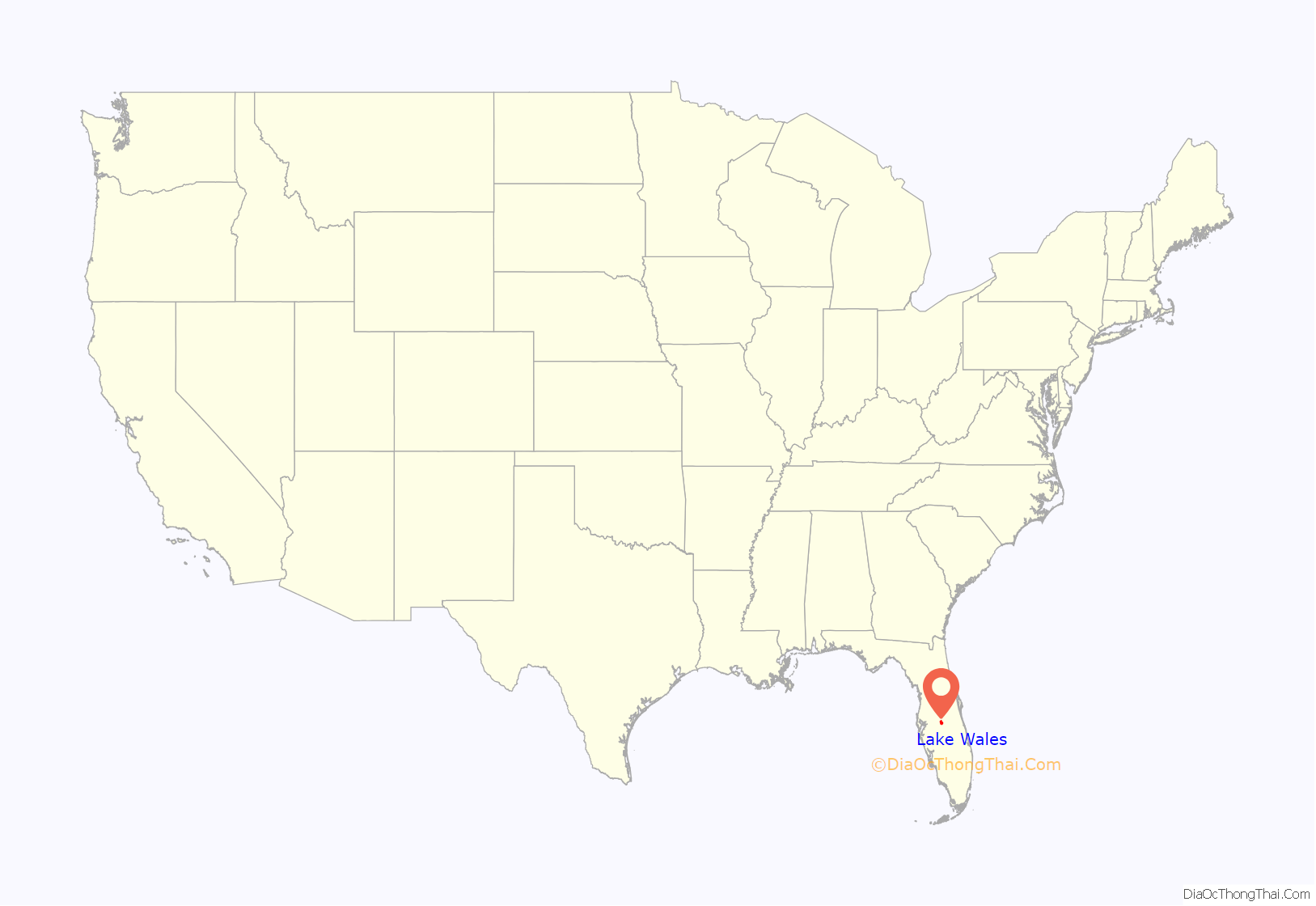
Lake Wales is a city in Polk County, Florida. The population was 14,225 at the 2010 census. As of 2019, the population estimated by the U.S. Census Bureau is 16,759. It is part of the Lakeland–Winter Haven Metropolitan Statistical Area. Lake Wales is located in central Florida, west of Lake Kissimmee and east of Tampa.
| Name: | Lake Wales city |
|---|---|
| LSAD Code: | 25 |
| LSAD Description: | city (suffix) |
| State: | Florida |
| County: | Polk County |
| Elevation: | 128 ft (39 m) |
| Total Area: | 20.12 sq mi (52.10 km²) |
| Land Area: | 18.84 sq mi (48.81 km²) |
| Water Area: | 1.27 sq mi (3.30 km²) |
| Total Population: | 16,361 |
| Population Density: | 868.19/sq mi (335.22/km²) |
| ZIP code: | 33800-33898 |
| Area code: | 863 |
| FIPS code: | 1238950 |
| GNISfeature ID: | 2404869 |
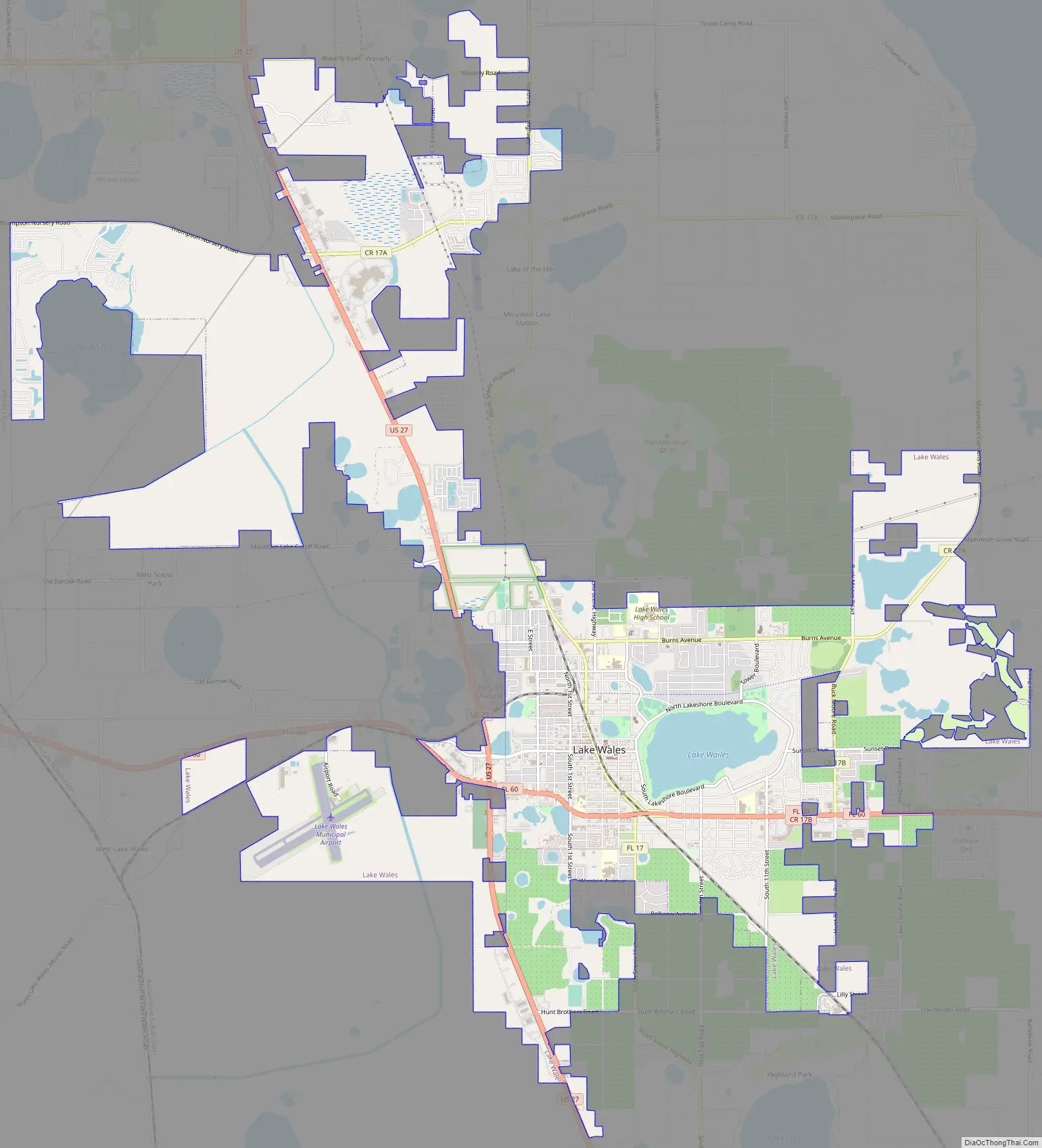
Online Interactive Map
Click on ![]() to view map in "full screen" mode.
to view map in "full screen" mode.
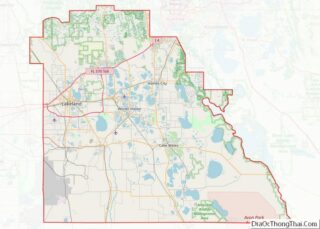
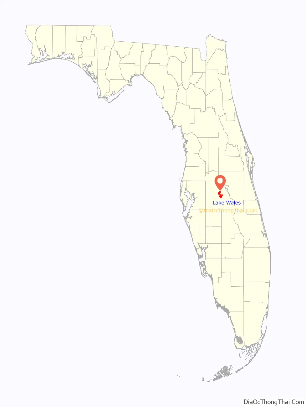
Lake Wales location map. Where is Lake Wales city?
History
The land around the present city was surveyed in 1879 by Sidney Irving Wailes, who changed the name of a lake, then known as Watts Lake, to Lake Wailes.
The city of Lake Wales was established near the lake in 1911–1912, planned by the Lake Wales Land Company. The spelling Wales was used for the city, although the lake is still generally spelled Lake Wailes. Allen Carleton Nydegger, a Civil Engineer, was contracted by the Lake Wales Land Company to plot out the community of Lake Wales. He and his crew camped on the shores of Crystal Lake and spent months plotting out the new community. In 1925 the Atlantic Coast Line Railroad built a new line from Haines City joining lines to Everglades City. A depot was opened on this line at Lake Wales. The City of Lake Wales was officially incorporated in April 1917.
In 2004, Lake Wales endured the effects of three hurricanes which came through the area: Hurricane Charley, Hurricane Frances and Hurricane Jeanne. The three hurricanes brought hurricane-force winds to the Lake Wales area within a space of 44 days. In 2017, Hurricane Irma brought more hurricane-force winds to Lake Wales.
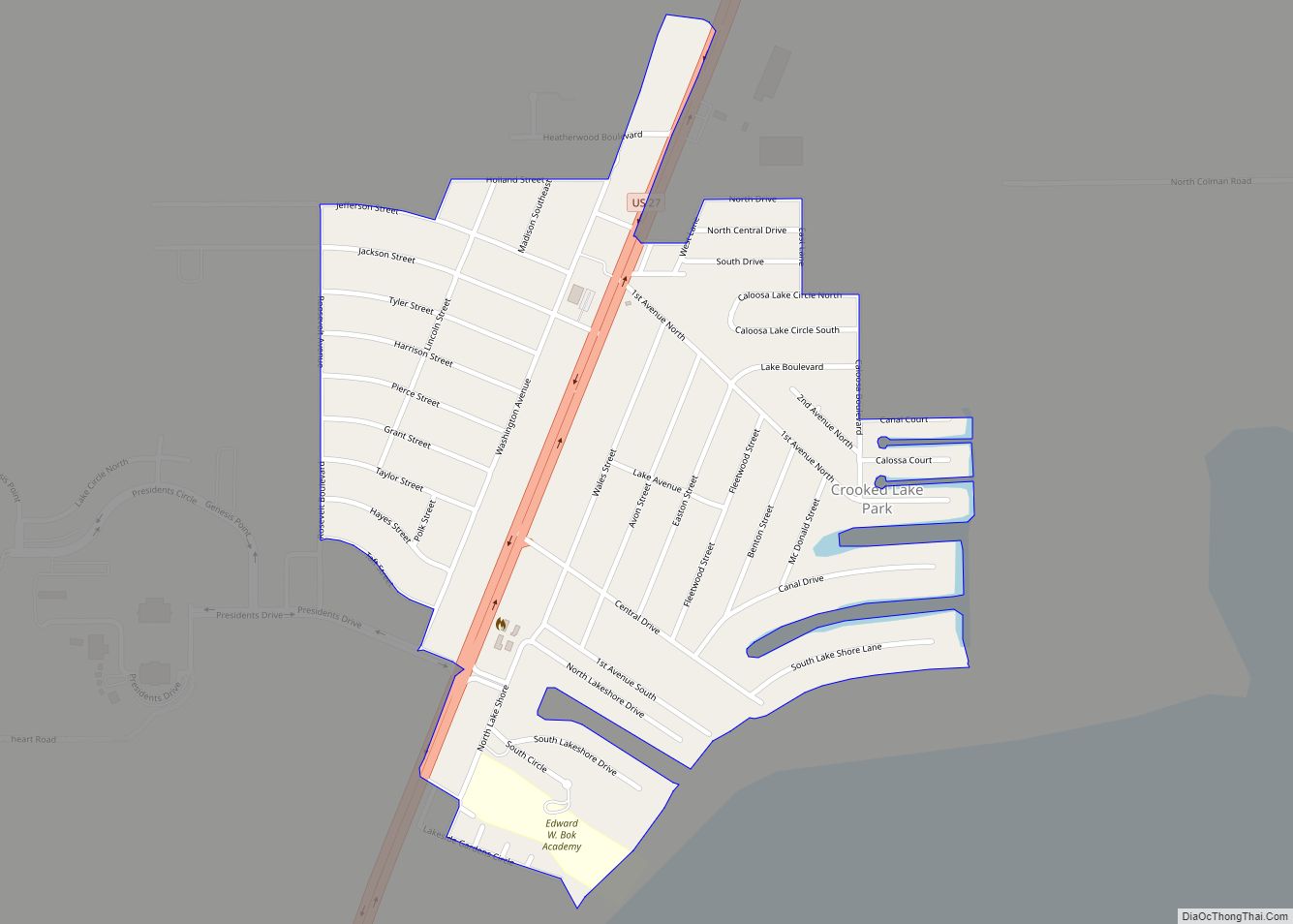
Lake Wales Road Map
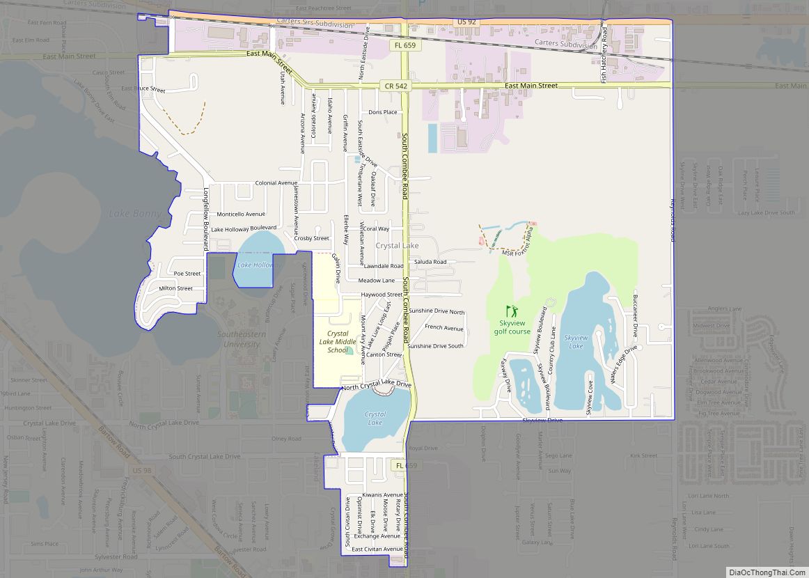
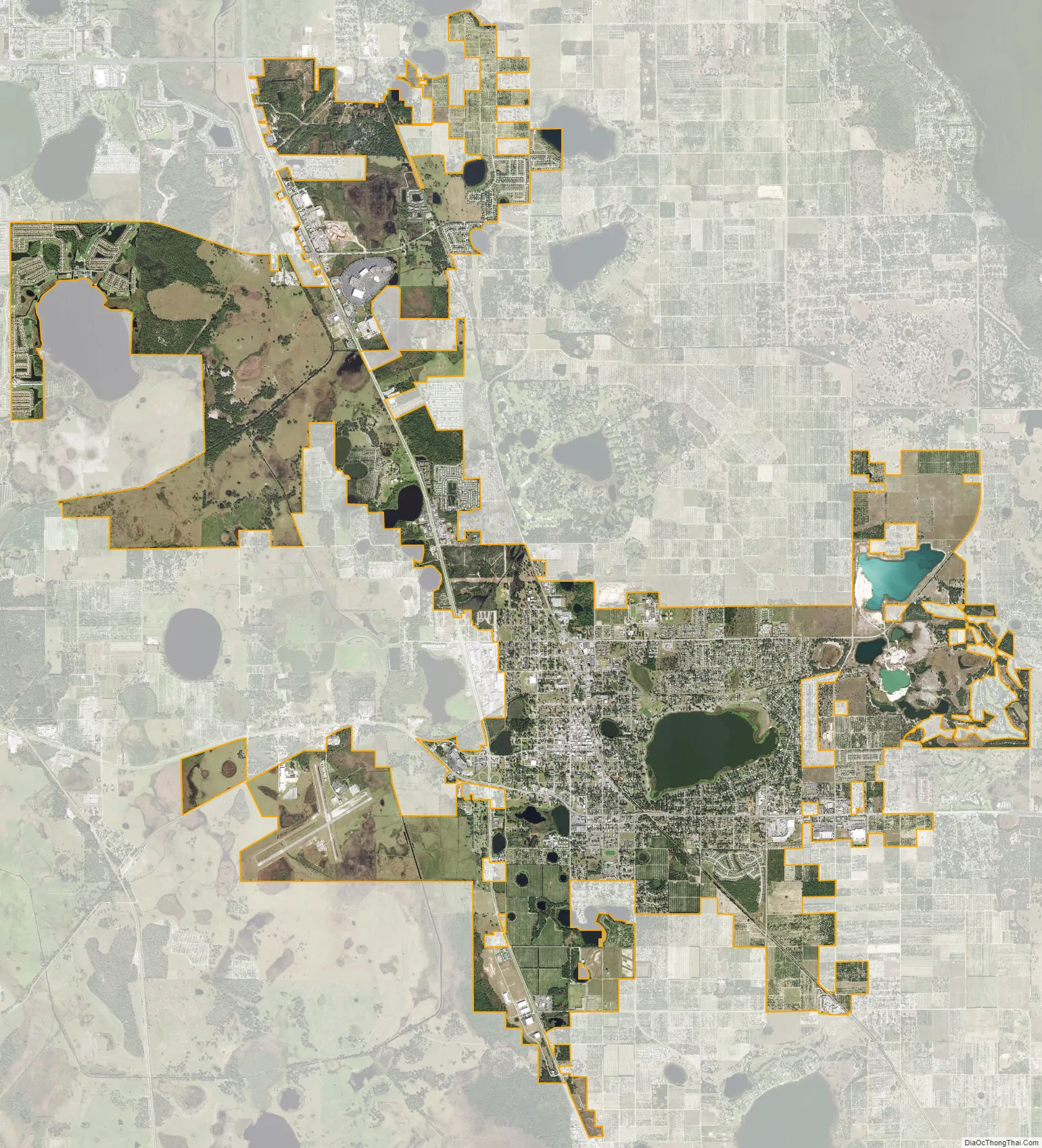
Lake Wales city Satellite Map
Geography
The town lies near the geographical center of the Florida peninsula. Lake Wales is located on the Lake Wales Ridge, a sandy upland area running roughly parallel to both coasts in the center of the peninsula. According to the United States Census Bureau, the city has a total area of 14.0 square miles (36 km), of which 13.4 square miles (35 km) is land and 0.7 square miles (1.8 km) (4.71%) is water.
Lake Wales is located in the humid subtropical zone of the (Köppen climate classification: Cfa). In 2004, the eyes of Hurricane Charley, Hurricane Frances, and Hurricane Jeanne all passed near the town. Virtually all physical damage has been restored.
Climate
Wildlife and environmental lands
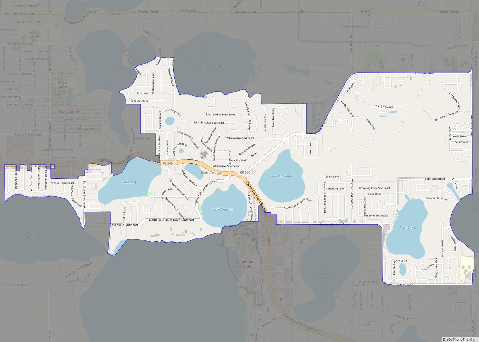
Grassy Lake Preserve is a 185 acres (0.75 km) preserve located behind Janie Howard Wilson Elementary School. Grassy Lake is primarily made up of Lake Wales Ridge scrub land.
See also
Map of Florida State and its subdivision:- Alachua
- Baker
- Bay
- Bradford
- Brevard
- Broward
- Calhoun
- Charlotte
- Citrus
- Clay
- Collier
- Columbia
- Desoto
- Dixie
- Duval
- Escambia
- Flagler
- Franklin
- Gadsden
- Gilchrist
- Glades
- Gulf
- Hamilton
- Hardee
- Hendry
- Hernando
- Highlands
- Hillsborough
- Holmes
- Indian River
- Jackson
- Jefferson
- Lafayette
- Lake
- Lee
- Leon
- Levy
- Liberty
- Madison
- Manatee
- Marion
- Martin
- Miami-Dade
- Monroe
- Nassau
- Okaloosa
- Okeechobee
- Orange
- Osceola
- Palm Beach
- Pasco
- Pinellas
- Polk
- Putnam
- Saint Johns
- Saint Lucie
- Santa Rosa
- Sarasota
- Seminole
- Sumter
- Suwannee
- Taylor
- Union
- Volusia
- Wakulla
- Walton
- Washington
- Alabama
- Alaska
- Arizona
- Arkansas
- California
- Colorado
- Connecticut
- Delaware
- District of Columbia
- Florida
- Georgia
- Hawaii
- Idaho
- Illinois
- Indiana
- Iowa
- Kansas
- Kentucky
- Louisiana
- Maine
- Maryland
- Massachusetts
- Michigan
- Minnesota
- Mississippi
- Missouri
- Montana
- Nebraska
- Nevada
- New Hampshire
- New Jersey
- New Mexico
- New York
- North Carolina
- North Dakota
- Ohio
- Oklahoma
- Oregon
- Pennsylvania
- Rhode Island
- South Carolina
- South Dakota
- Tennessee
- Texas
- Utah
- Vermont
- Virginia
- Washington
- West Virginia
- Wisconsin
- Wyoming