Bay Harbor Islands is a town in Miami-Dade County, Florida, United States. The population was 5,922 at the 2020 census. It is separated from the mainland by Biscayne Bay.
| Name: | Bay Harbor Islands town |
|---|---|
| LSAD Code: | 43 |
| LSAD Description: | town (suffix) |
| State: | Florida |
| County: | Miami-Dade County |
| Incorporated: | April 28, 1947 |
| Elevation: | 7 ft (2 m) |
| Total Area: | 0.42 sq mi (1.09 km²) |
| Land Area: | 0.40 sq mi (1.03 km²) |
| Water Area: | 0.03 sq mi (0.06 km²) |
| Total Population: | 5,922 |
| Population Density: | 14,954.55/sq mi (5,768.58/km²) |
| ZIP code: | 33154 |
| FIPS code: | 1203975 |
| GNISfeature ID: | 0278201 |
| Website: | www.bayharborislands-fl.gov |
Online Interactive Map
Click on ![]() to view map in "full screen" mode.
to view map in "full screen" mode.
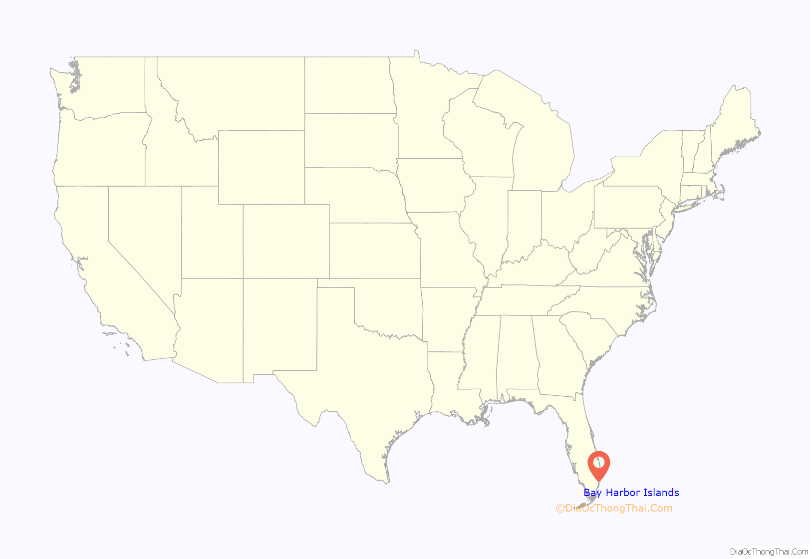
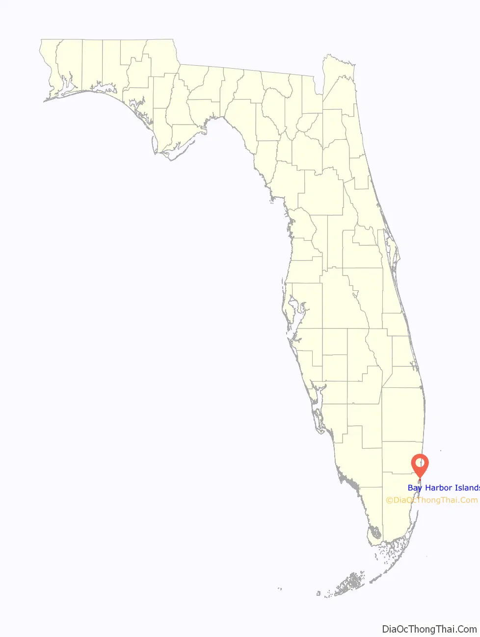
Bay Harbor Islands location map. Where is Bay Harbor Islands town?
History
Bay Harbor Islands was founded by Shepard Broad on April 28, 1947.
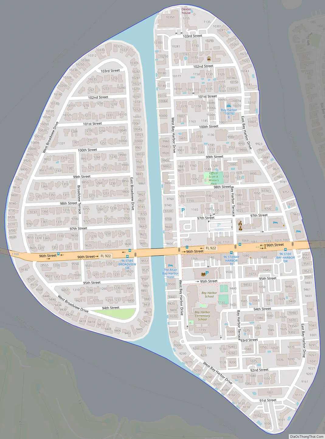
Bay Harbor Islands Road Map
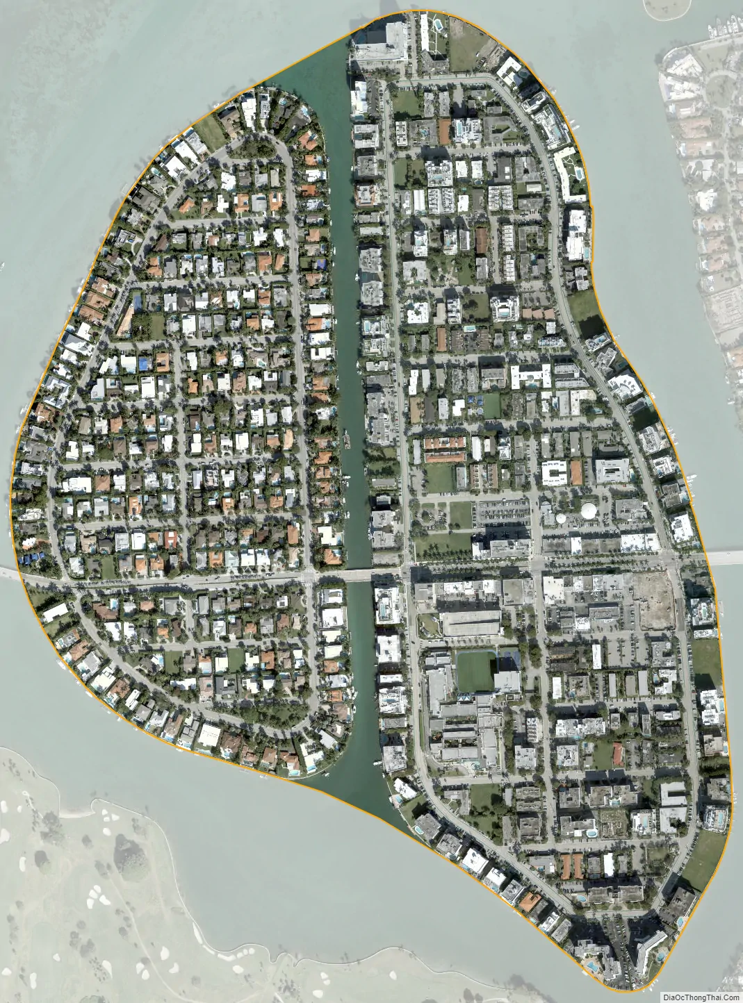
Bay Harbor Islands city Satellite Map
Geography
Bay Harbor Islands is located at 25°53′15″N 80°8′9″W / 25.88750°N 80.13583°W / 25.88750; -80.13583 (25.887522, –80.135739). It sits near the north end of Biscayne Bay and consists of two islands, originally known as Broadview and Bay Harbor, now referred to as, respectively, the West and East Islands. The West Island features single family homes, while the East Island contains the business district, the Ruth K. Broad Bay Harbor K–8 Center, and multi-family housing. To the west, across Biscayne Bay, is the city of North Miami, connected via the Shepard Broad Causeway. To the east, across Indian Creek, lie the village of Bal Harbour and the town of Surfside. To the south across Indian Creek Lake, with no direct road access from Bay Harbor Islands, lies the village of Indian Creek.
Bay Harbor Islands is approximately 15 miles (24 km) (30 minutes driving distance) northeast of Miami International Airport, and 14 miles (23 km) (35 minutes) north of PortMiami.
According to the United States Census Bureau, the town has a total area of 0.4 square miles (1.0 km), including 0.03 square miles (0.08 km) (5.94%) of water.
Surrounding areas
- Biscayne Bay
- Biscayne Bay Bal Harbour
- Biscayne Bay Bal Harbour
- Biscayne Bay Surfside
- Indian Creek, Surfside
See also
Map of Florida State and its subdivision:- Alachua
- Baker
- Bay
- Bradford
- Brevard
- Broward
- Calhoun
- Charlotte
- Citrus
- Clay
- Collier
- Columbia
- Desoto
- Dixie
- Duval
- Escambia
- Flagler
- Franklin
- Gadsden
- Gilchrist
- Glades
- Gulf
- Hamilton
- Hardee
- Hendry
- Hernando
- Highlands
- Hillsborough
- Holmes
- Indian River
- Jackson
- Jefferson
- Lafayette
- Lake
- Lee
- Leon
- Levy
- Liberty
- Madison
- Manatee
- Marion
- Martin
- Miami-Dade
- Monroe
- Nassau
- Okaloosa
- Okeechobee
- Orange
- Osceola
- Palm Beach
- Pasco
- Pinellas
- Polk
- Putnam
- Saint Johns
- Saint Lucie
- Santa Rosa
- Sarasota
- Seminole
- Sumter
- Suwannee
- Taylor
- Union
- Volusia
- Wakulla
- Walton
- Washington
- Alabama
- Alaska
- Arizona
- Arkansas
- California
- Colorado
- Connecticut
- Delaware
- District of Columbia
- Florida
- Georgia
- Hawaii
- Idaho
- Illinois
- Indiana
- Iowa
- Kansas
- Kentucky
- Louisiana
- Maine
- Maryland
- Massachusetts
- Michigan
- Minnesota
- Mississippi
- Missouri
- Montana
- Nebraska
- Nevada
- New Hampshire
- New Jersey
- New Mexico
- New York
- North Carolina
- North Dakota
- Ohio
- Oklahoma
- Oregon
- Pennsylvania
- Rhode Island
- South Carolina
- South Dakota
- Tennessee
- Texas
- Utah
- Vermont
- Virginia
- Washington
- West Virginia
- Wisconsin
- Wyoming


