Bayport is an unincorporated community and census-designated place (CDP) in Hernando County, Florida, United States. The population was 43 at the 2010 census.
| Name: | Bayport CDP |
|---|---|
| LSAD Code: | 57 |
| LSAD Description: | CDP (suffix) |
| State: | Florida |
| County: | Hernando County |
| Elevation: | 3 ft (1 m) |
| Total Area: | 0.64 sq mi (1.67 km²) |
| Land Area: | 0.57 sq mi (1.49 km²) |
| Water Area: | 0.07 sq mi (0.18 km²) |
| Total Population: | 45 |
| Population Density: | 78.26/sq mi (30.24/km²) |
| FIPS code: | 1204250 |
| GNISfeature ID: | 0294669 |
Online Interactive Map
Click on ![]() to view map in "full screen" mode.
to view map in "full screen" mode.
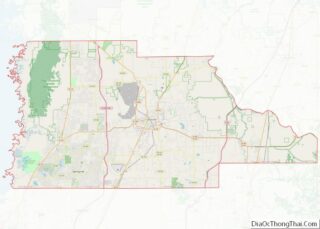
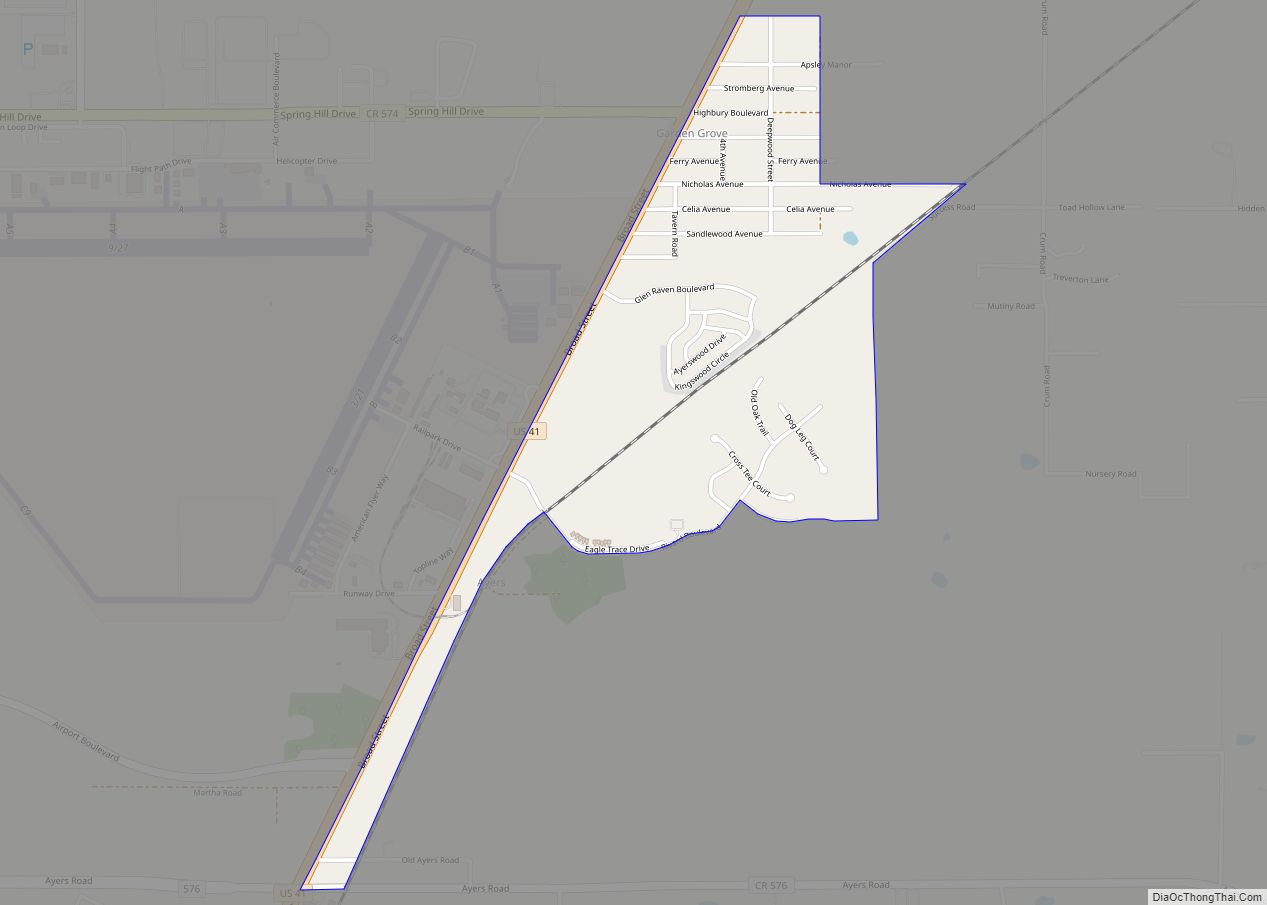
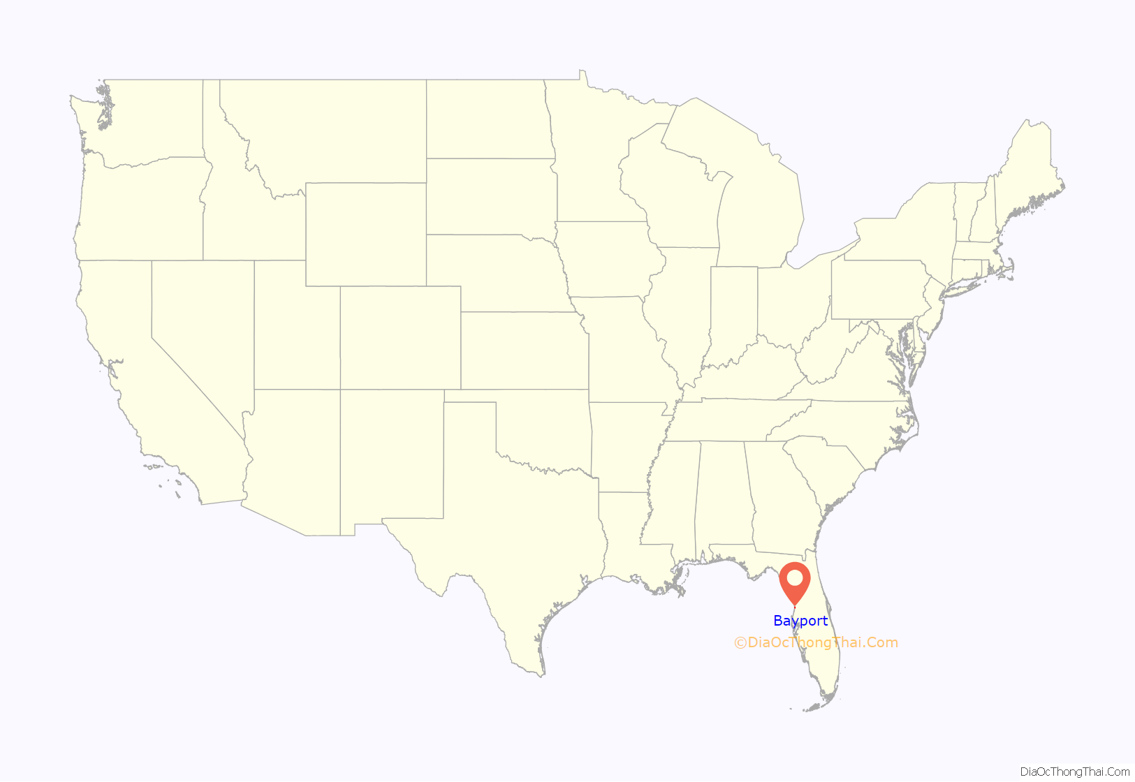
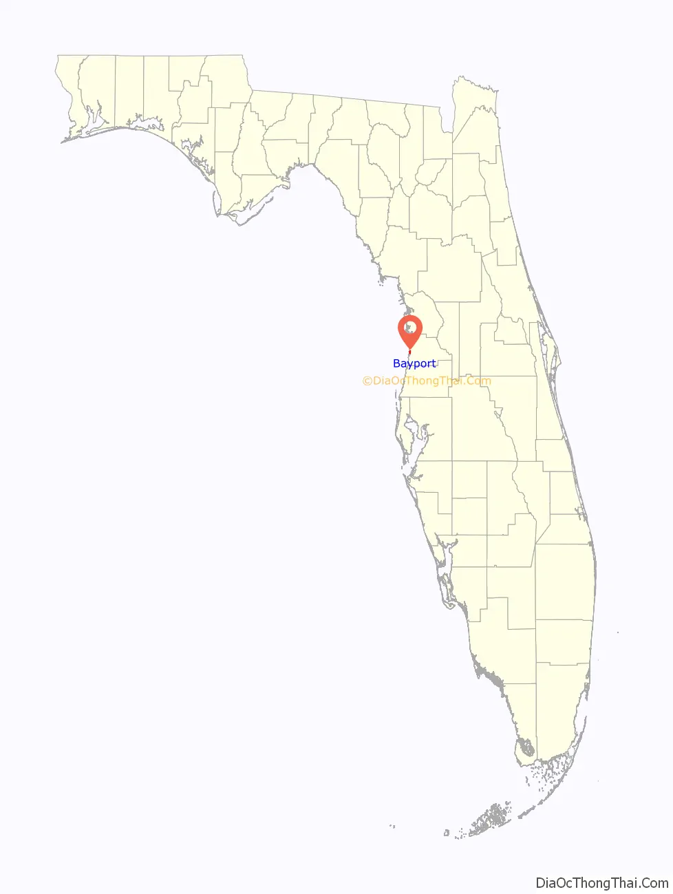
Bayport location map. Where is Bayport CDP?
History
The village of Bayport, located at the mouth of the Weeki Wachee River, sprang up in the early 1850s as a supply and cotton port. It was originally spelled as Bay Port and briefly served as the county seat until it was moved to Brooksville in 1856. During the Civil War, Union naval squadrons blockaded Florida’s coasts to prevent goods and supplies from passing into and out of the state. By 1863 the East Gulf Blockade Squadron had effectively closed the larger ports along the Gulf Coast. Small rivers, such as the Weeki Wachee, became important trade routes. Shipping at Bayport attracted the attention of the Union Blockade Squadron which intercepted eleven blockade runners near there between 1862 and 1865. Various skirmishes took place at Bayport between Union troops and the Confederate Home Guard during the course of the war. This included at least one raid by Union troops who had marched all the way north from Fort Myers. The Confederate cannon battery site can still be seen on the wooded point just north of the Bayport fishing pier at the mouth of the Weeki Wachee River.
After the war Bayport became Hernando County’s major outlet for lumber and agricultural products, and continued to serve as its transportation center until railroad service came to Brooksville in 1885.
In the spring of 2008, Hernando County and the Southwest Florida Water Management District rebuilt Bayport’s marina and park area.
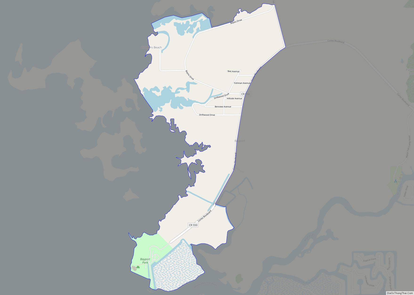
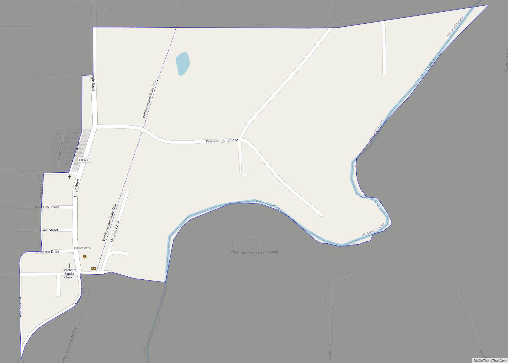
Bayport Road Map
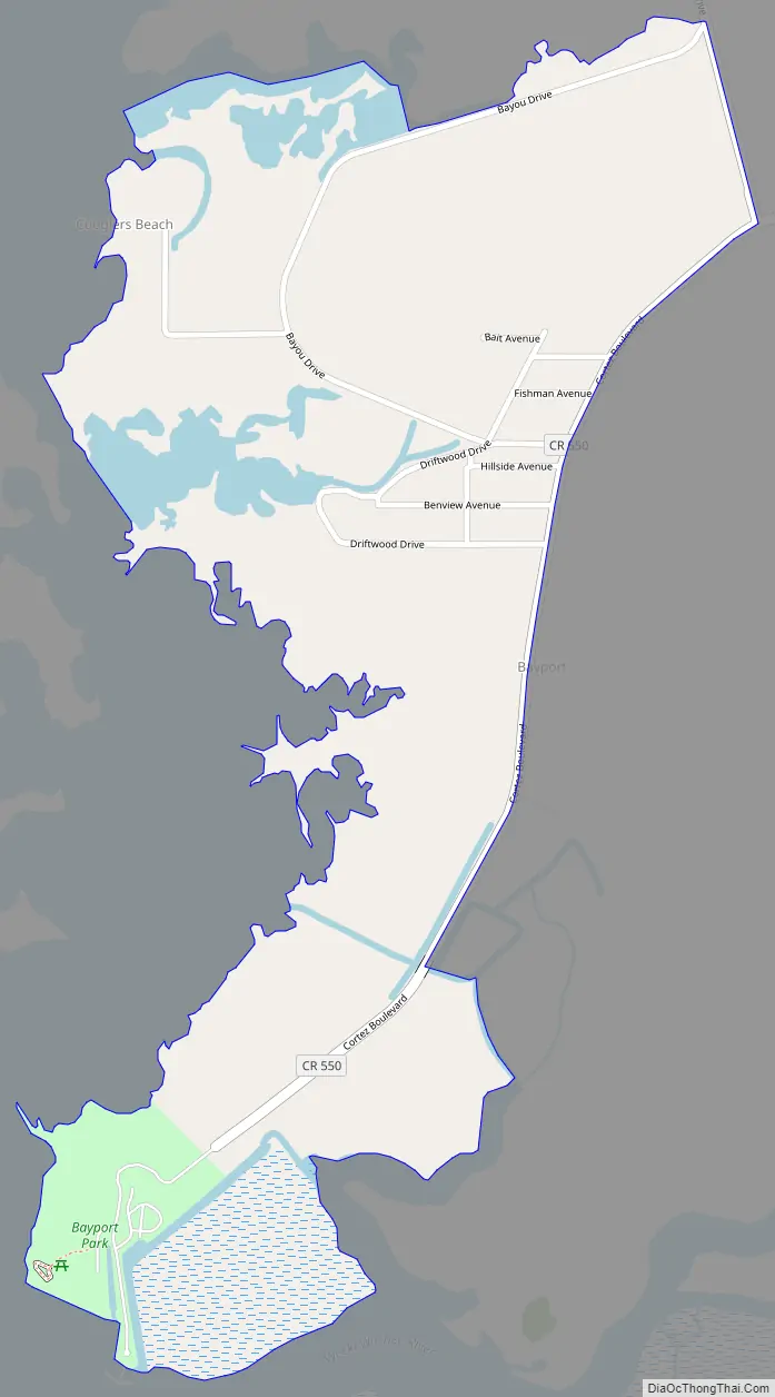
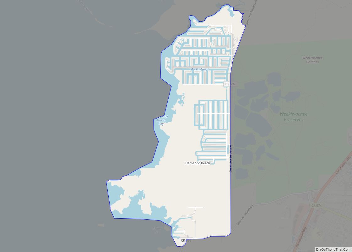
Bayport city Satellite Map
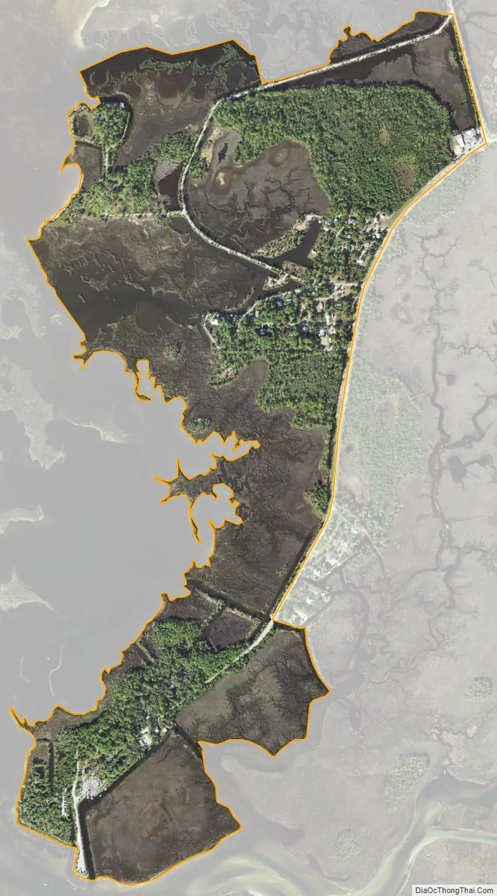
Geography
Bayport is located in western Hernando County along the Gulf of Mexico at 28°32′54″N 82°38′43″W / 28.54833°N 82.64528°W / 28.54833; -82.64528 (28.548454, -82.645345). Cortez Boulevard, the main road to the community, leads east 5 miles (8 km) to U.S. Route 19 at Weeki Wachee.
According to the United States Census Bureau, the CDP has a total area of 0.66 square miles (1.7 km), of which 0.58 square miles (1.5 km) are land and 0.1 square miles (0.2 km), or 10.77%, are water.
See also
Map of Florida State and its subdivision:- Alachua
- Baker
- Bay
- Bradford
- Brevard
- Broward
- Calhoun
- Charlotte
- Citrus
- Clay
- Collier
- Columbia
- Desoto
- Dixie
- Duval
- Escambia
- Flagler
- Franklin
- Gadsden
- Gilchrist
- Glades
- Gulf
- Hamilton
- Hardee
- Hendry
- Hernando
- Highlands
- Hillsborough
- Holmes
- Indian River
- Jackson
- Jefferson
- Lafayette
- Lake
- Lee
- Leon
- Levy
- Liberty
- Madison
- Manatee
- Marion
- Martin
- Miami-Dade
- Monroe
- Nassau
- Okaloosa
- Okeechobee
- Orange
- Osceola
- Palm Beach
- Pasco
- Pinellas
- Polk
- Putnam
- Saint Johns
- Saint Lucie
- Santa Rosa
- Sarasota
- Seminole
- Sumter
- Suwannee
- Taylor
- Union
- Volusia
- Wakulla
- Walton
- Washington
- Alabama
- Alaska
- Arizona
- Arkansas
- California
- Colorado
- Connecticut
- Delaware
- District of Columbia
- Florida
- Georgia
- Hawaii
- Idaho
- Illinois
- Indiana
- Iowa
- Kansas
- Kentucky
- Louisiana
- Maine
- Maryland
- Massachusetts
- Michigan
- Minnesota
- Mississippi
- Missouri
- Montana
- Nebraska
- Nevada
- New Hampshire
- New Jersey
- New Mexico
- New York
- North Carolina
- North Dakota
- Ohio
- Oklahoma
- Oregon
- Pennsylvania
- Rhode Island
- South Carolina
- South Dakota
- Tennessee
- Texas
- Utah
- Vermont
- Virginia
- Washington
- West Virginia
- Wisconsin
- Wyoming