Cedar Grove is an unincorporated area and census-designated place in Bay County, Florida, United States. It was formerly an incorporated town, but it was dissolved in 2008 after a vote by residents. The town had 90 days from October 3, 2008, to implement the dissolution ordinance and hand over all operations to organs of the county government. This was the first time in Florida history that a town was disincorporated by a vote of its citizens. The dissolution ordinance took effect at 8:00 AM on October 22, 2008, at which time the police department was disbanded and all assets became the property of the Bay County Commission. The current census-designated place had a population of 3,397 at the 2010 census. It is part of the Panama City–Lynn Haven–Panama City Beach Metropolitan Statistical Area.
| Name: | Cedar Grove CDP |
|---|---|
| LSAD Code: | 57 |
| LSAD Description: | CDP (suffix) |
| State: | Florida |
| County: | Bay County |
| Incorporated: | 1951 |
| Elevation: | 33 ft (10 m) |
| Total Area: | 2.63 sq mi (6.83 km²) |
| Land Area: | 2.63 sq mi (6.81 km²) |
| Water Area: | 0.00 sq mi (0.01 km²) |
| Total Population: | 3,148 |
| Population Density: | 1,196.50/sq mi (461.98/km²) |
| FIPS code: | 1211150 |
| GNISfeature ID: | 0280187 |
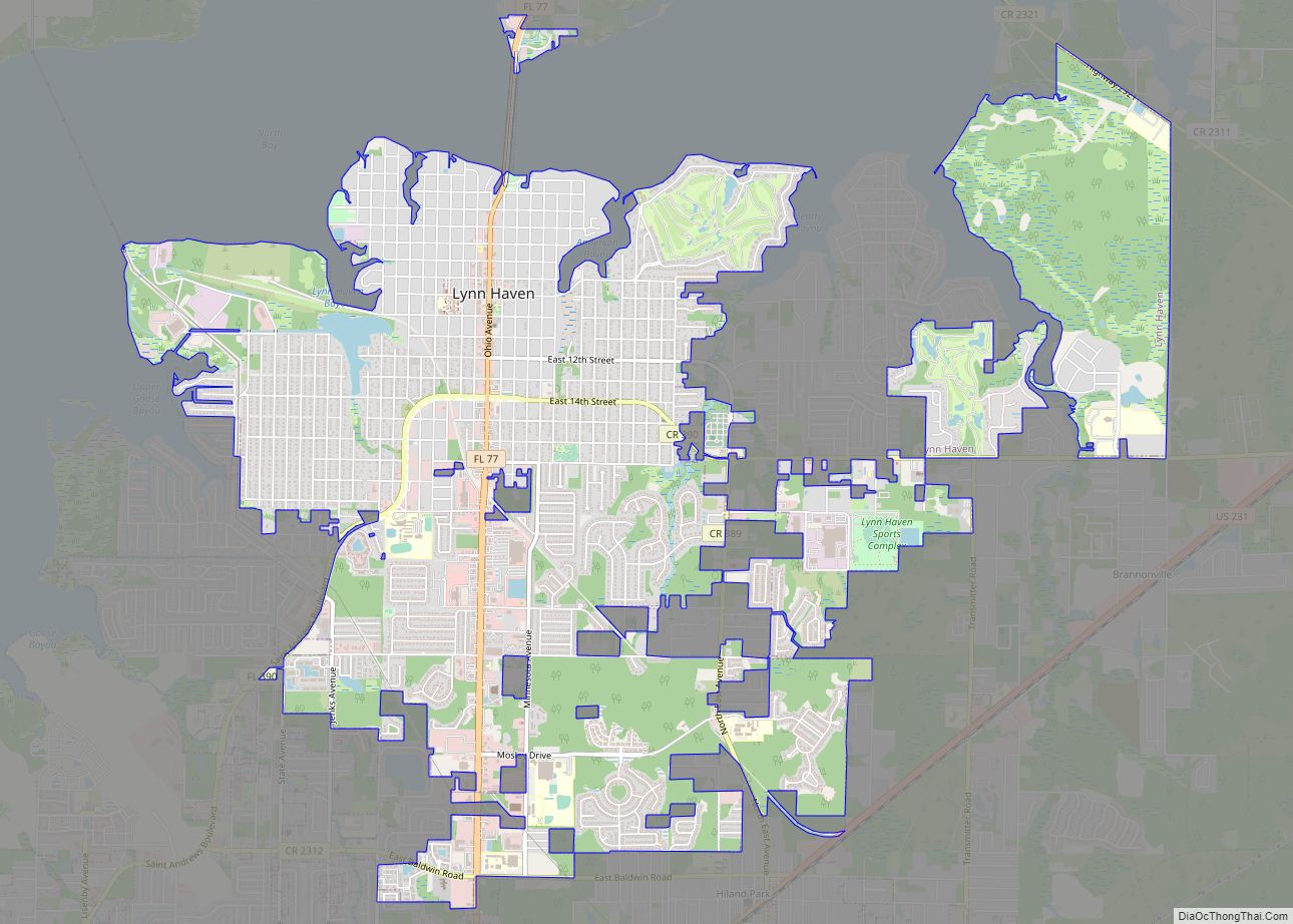
Online Interactive Map
Click on ![]() to view map in "full screen" mode.
to view map in "full screen" mode.
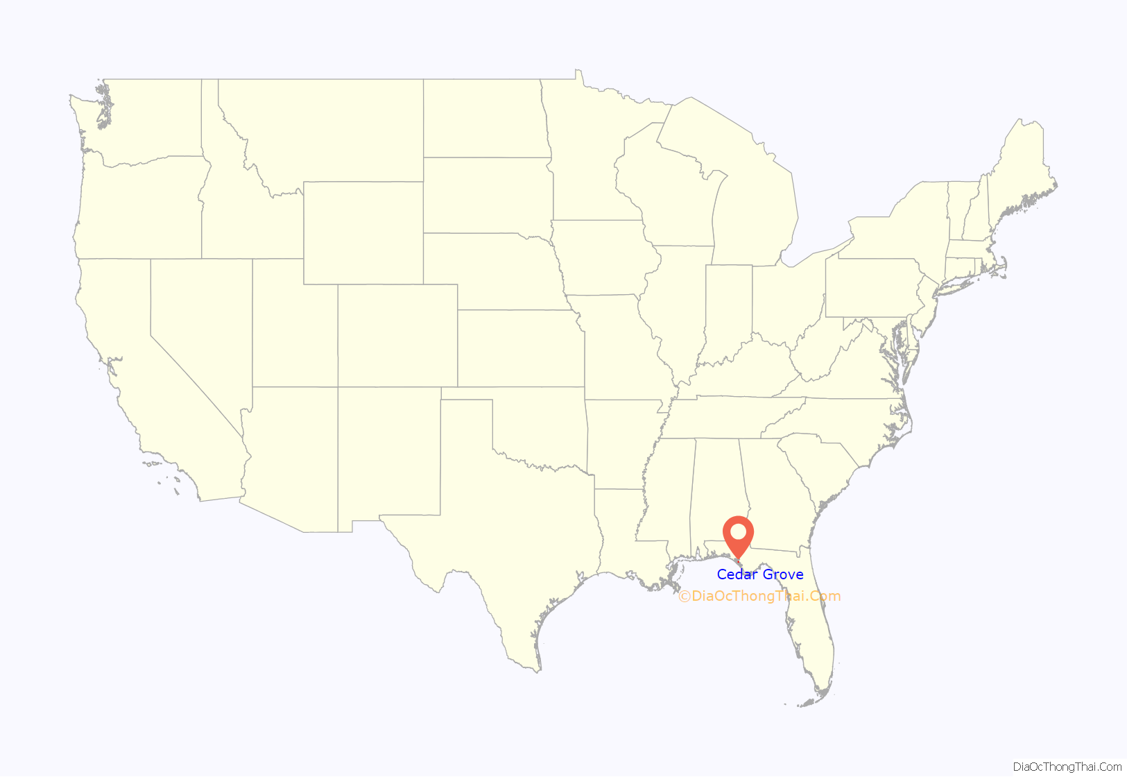
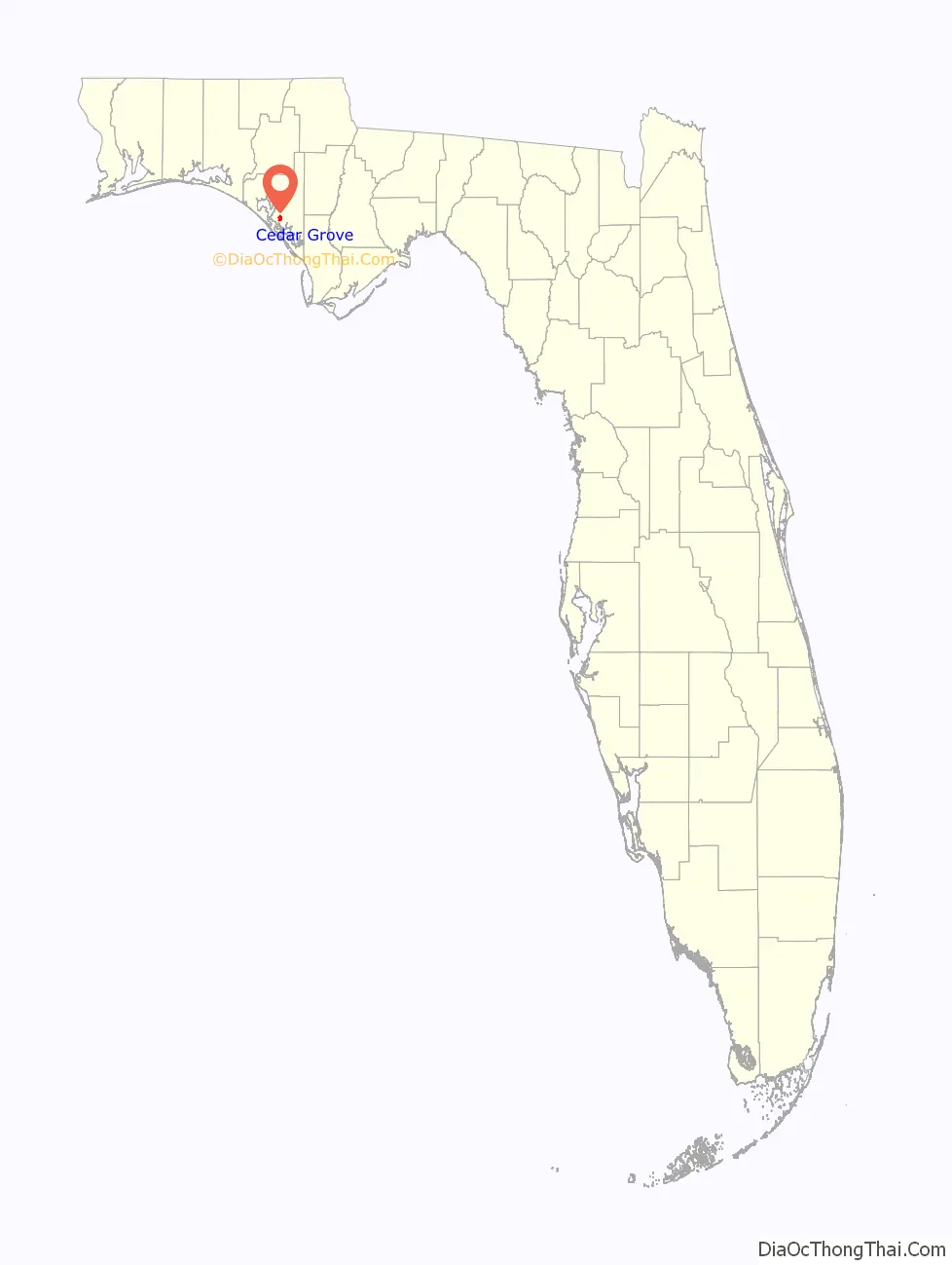
Cedar Grove location map. Where is Cedar Grove CDP?
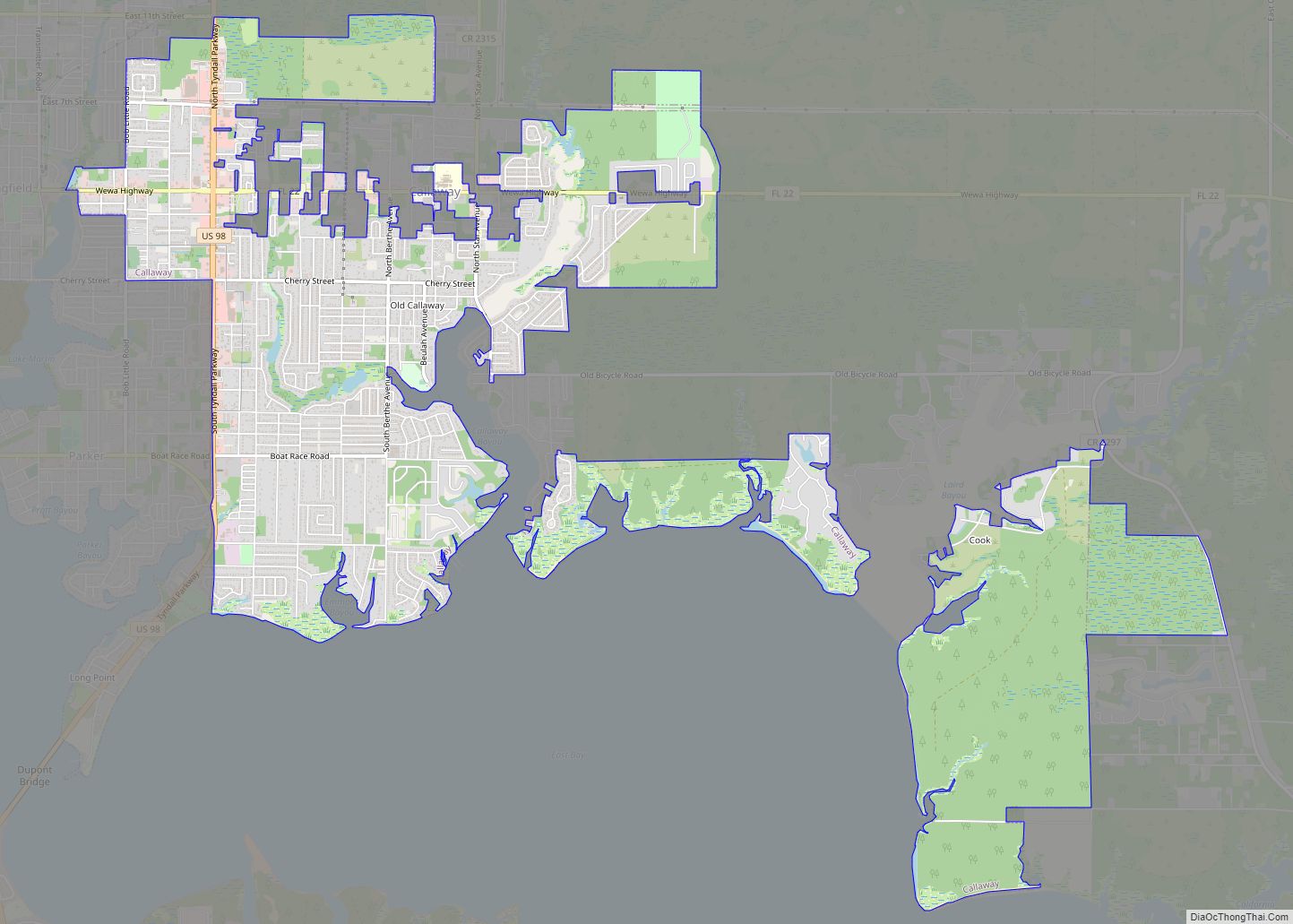
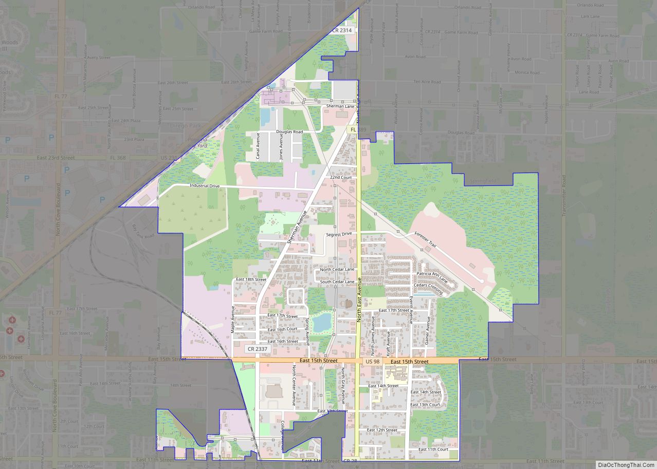
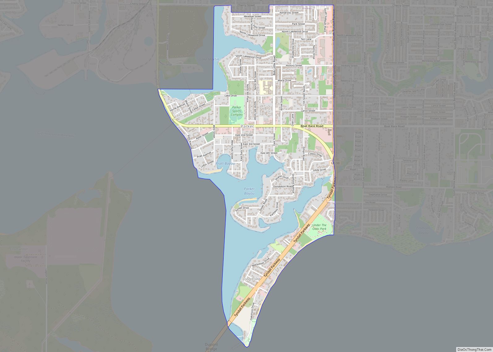
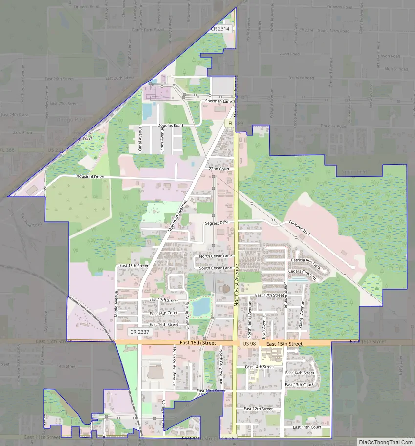
Cedar Grove Road Map
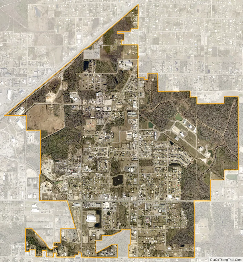
Cedar Grove city Satellite Map
Geography
Cedar Grove is located at 30°12′44″N 85°36′22″W / 30.21222°N 85.60611°W / 30.21222; -85.60611 (30.212219, -85.606028).
According to the United States Census Bureau, the census-designated place has a total area of 2.7 square miles (7.0 km), all land.
See also
Map of Florida State and its subdivision:- Alachua
- Baker
- Bay
- Bradford
- Brevard
- Broward
- Calhoun
- Charlotte
- Citrus
- Clay
- Collier
- Columbia
- Desoto
- Dixie
- Duval
- Escambia
- Flagler
- Franklin
- Gadsden
- Gilchrist
- Glades
- Gulf
- Hamilton
- Hardee
- Hendry
- Hernando
- Highlands
- Hillsborough
- Holmes
- Indian River
- Jackson
- Jefferson
- Lafayette
- Lake
- Lee
- Leon
- Levy
- Liberty
- Madison
- Manatee
- Marion
- Martin
- Miami-Dade
- Monroe
- Nassau
- Okaloosa
- Okeechobee
- Orange
- Osceola
- Palm Beach
- Pasco
- Pinellas
- Polk
- Putnam
- Saint Johns
- Saint Lucie
- Santa Rosa
- Sarasota
- Seminole
- Sumter
- Suwannee
- Taylor
- Union
- Volusia
- Wakulla
- Walton
- Washington
- Alabama
- Alaska
- Arizona
- Arkansas
- California
- Colorado
- Connecticut
- Delaware
- District of Columbia
- Florida
- Georgia
- Hawaii
- Idaho
- Illinois
- Indiana
- Iowa
- Kansas
- Kentucky
- Louisiana
- Maine
- Maryland
- Massachusetts
- Michigan
- Minnesota
- Mississippi
- Missouri
- Montana
- Nebraska
- Nevada
- New Hampshire
- New Jersey
- New Mexico
- New York
- North Carolina
- North Dakota
- Ohio
- Oklahoma
- Oregon
- Pennsylvania
- Rhode Island
- South Carolina
- South Dakota
- Tennessee
- Texas
- Utah
- Vermont
- Virginia
- Washington
- West Virginia
- Wisconsin
- Wyoming