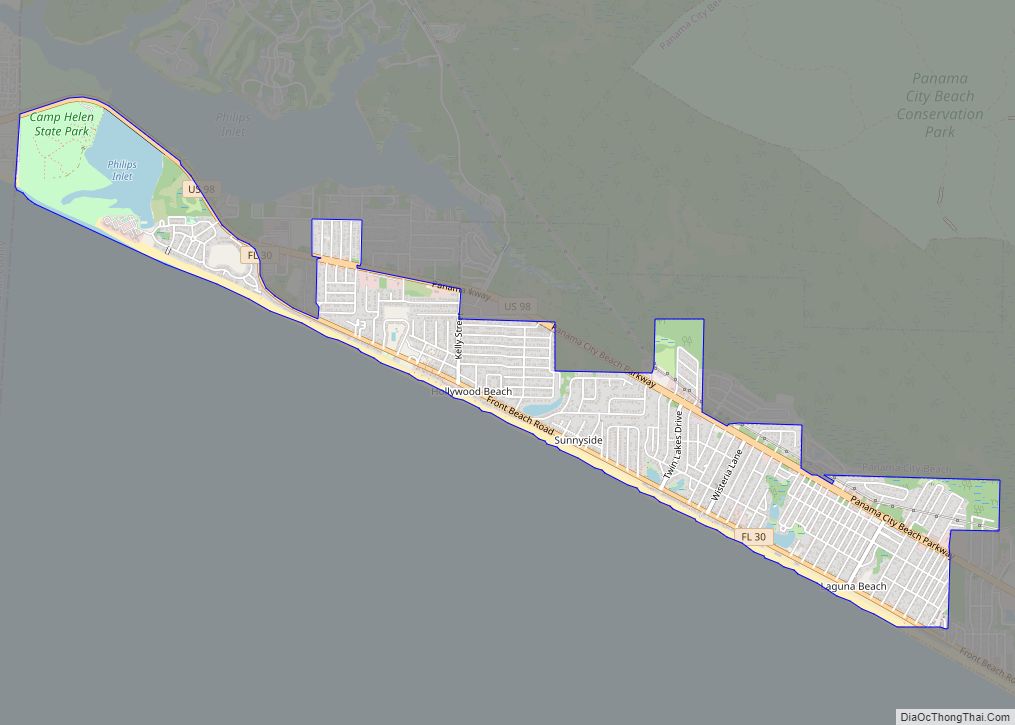
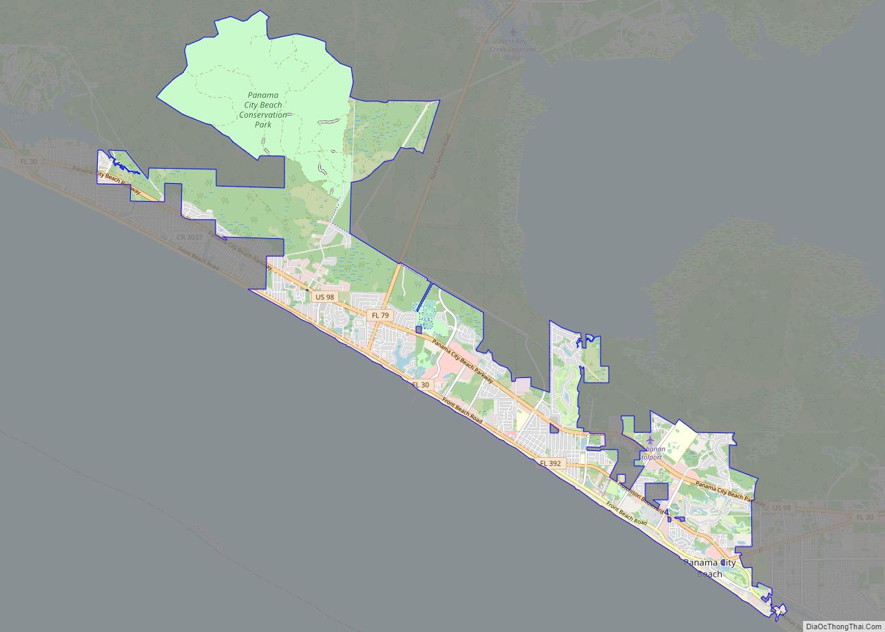
Panama City Beach is a resort town in Bay County, Florida, United States, on the Gulf of Mexico coast. As of the 2010 census it had a population of 12,018. The city is often referred to under the umbrella term of “Panama City“. Panama City Beach’s slogan is “The World’s Most Beautiful Beaches” due to the unique, sugar-white sandy beaches of northwest Florida.
Panama City Beach is a popular vacation destination, especially among people in the Southern United States. The town is also a popular spring break destination, due to its beach and proximity to most of the Southern United States. The first two seasons of MTV’s Floribama Shore were filmed in the town.
| Name: | Panama City Beach city |
|---|---|
| LSAD Code: | 25 |
| LSAD Description: | city (suffix) |
| State: | Florida |
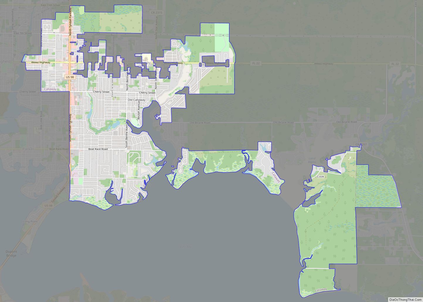
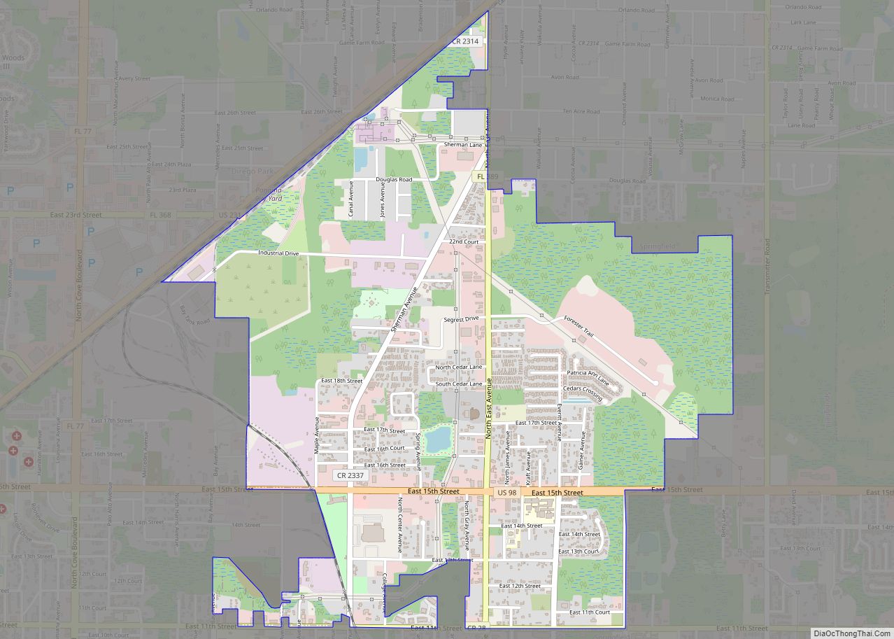
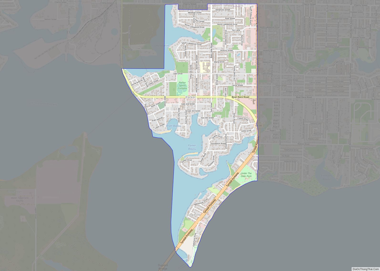
| County: | Bay County |
| Incorporated: | 1970 |
| Elevation: | 10 ft (3 m) |
| Total Area: | 19.53 sq mi (50.57 km²) |
| Land Area: | 19.32 sq mi (50.05 km²) |
| Water Area: | 0.20 sq mi (0.52 km²) |
| Total Population: | 18,094 |
| Population Density: | 936.40/sq mi (361.55/km²) |
| Area code: | 850 |
| FIPS code: | 1254725 |
| GNISfeature ID: | 0308451 |
| Website: | www.pcbgov.com |
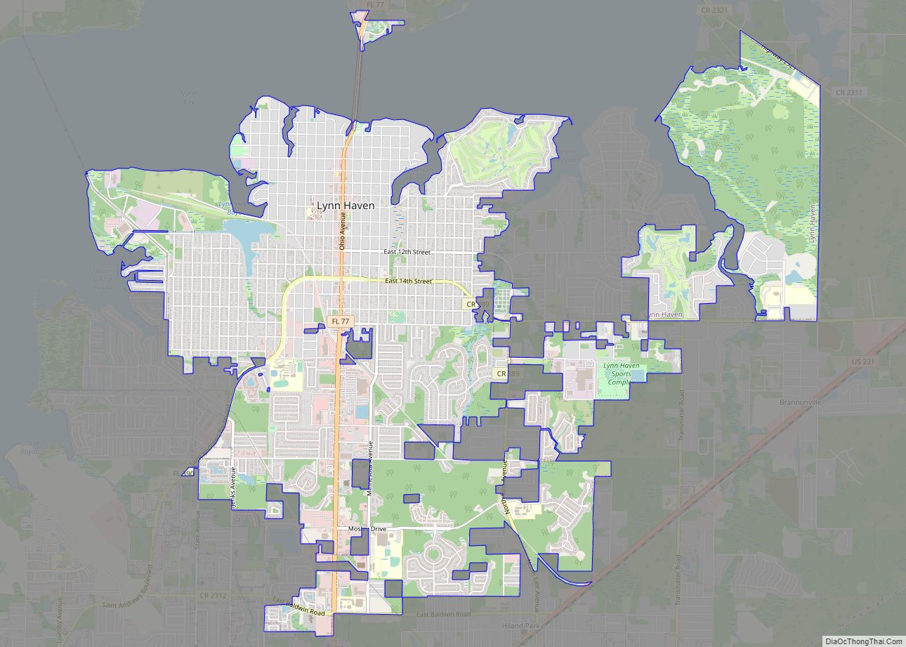
Online Interactive Map
Click on ![]() to view map in "full screen" mode.
to view map in "full screen" mode.
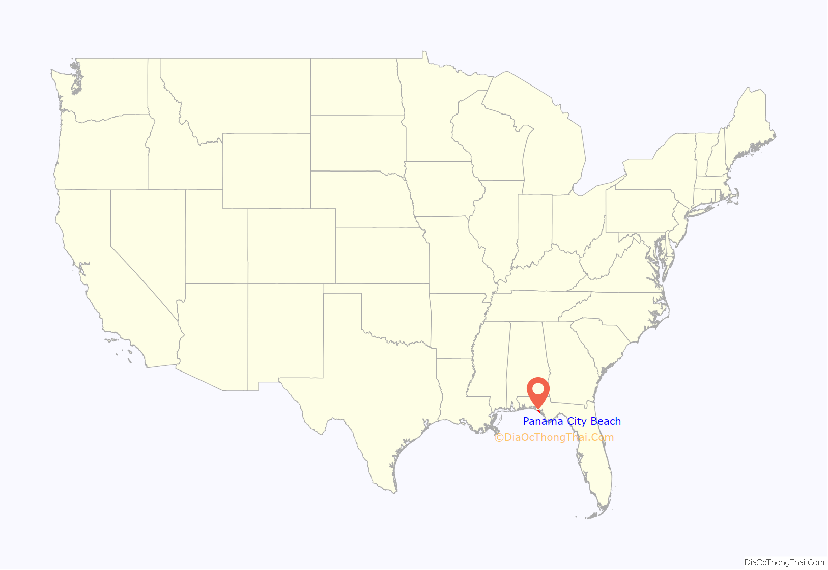
Panama City Beach location map. Where is Panama City Beach city?

History
Real estate boom
A construction boom in the early to mid-2000s changed the image of the area due to the older homes and motels being replaced with high-rise condominiums and more expansive homes. However, this is turning unobstructed, low-rise beach views and affordable waterfront property into rarities. At the peak of the real estate boom, many beachfront properties had quadrupled or more in value since 2000. In November 2006 CNN/Money named Panama City Beach the No. 1 real estate market in America for the next five years in. Beachfront property has sold for upwards of $60,000 per “front foot” (linear foot) at the top of the market. The downturn in the U.S. real estate market in 2007, combined with a surge of new condo construction, brought spiraling prices somewhat under control. With the real estate boom, Panama City Beach became a well known destination for spring break.
Category 5 Hurricane Michael made landfall near Mexico Beach in Bay County on October 10, 2018, becoming one of the strongest and most-destructive hurricanes in American history as it destroyed a large part of the county, including many structures in Mexico Beach and Panama City. An EF-0 tornado did minor damage to the northwest part of Panama City Beach, Florida on February 15.
Panama City Beach Road Map
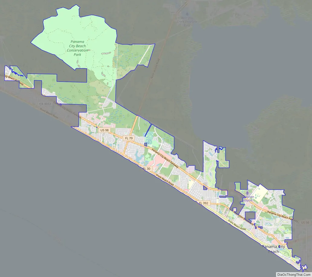
Panama City Beach city Satellite Map

Geography
Panama City Beach is located at 30°12′27″N 85°51′5″W / 30.20750°N 85.85139°W / 30.20750; -85.85139 (30.207362, −85.851485).
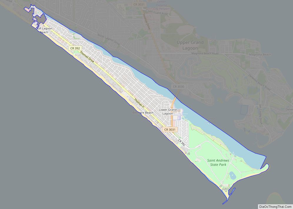
The city is located in the panhandle on the Gulf of Mexico. The main roads through the city are U.S. Route 98 and Florida State Road 30. US 98 runs from northwest to southeast just inland from the coast, leading east 10 mi (16 km) to Panama City and northwest 47 mi (76 km) to Destin. FL-30 runs along the coast from northwest to southeast as Front Beach Rd, leading east to Panama City and northwest 15 mi (24 km) to Rosemary Beach. There are approximately 9 miles (14 km) of shoreline in Panama City Beach fronting the Gulf of Mexico.
According to the United States Census Bureau, the city has a total area of 18.6 square miles (48.2 km)— 18.4 square miles (47.6 km) is land and 0.23 square miles (0.6 km) (1.17%) is water.
See also
Map of Florida State and its subdivision:- Alachua
- Baker
- Bay
- Bradford
- Brevard
- Broward
- Calhoun
- Charlotte
- Citrus
- Clay
- Collier
- Columbia
- Desoto
- Dixie
- Duval
- Escambia
- Flagler
- Franklin
- Gadsden
- Gilchrist
- Glades
- Gulf
- Hamilton
- Hardee
- Hendry
- Hernando
- Highlands
- Hillsborough
- Holmes
- Indian River
- Jackson
- Jefferson
- Lafayette
- Lake
- Lee
- Leon
- Levy
- Liberty
- Madison
- Manatee
- Marion
- Martin
- Miami-Dade
- Monroe
- Nassau
- Okaloosa
- Okeechobee
- Orange
- Osceola
- Palm Beach
- Pasco
- Pinellas
- Polk
- Putnam
- Saint Johns
- Saint Lucie
- Santa Rosa
- Sarasota
- Seminole
- Sumter
- Suwannee
- Taylor
- Union
- Volusia
- Wakulla
- Walton
- Washington
- Alabama
- Alaska
- Arizona
- Arkansas
- California
- Colorado
- Connecticut
- Delaware
- District of Columbia
- Florida
- Georgia
- Hawaii
- Idaho
- Illinois
- Indiana
- Iowa
- Kansas
- Kentucky
- Louisiana
- Maine
- Maryland
- Massachusetts
- Michigan
- Minnesota
- Mississippi
- Missouri
- Montana
- Nebraska
- Nevada
- New Hampshire
- New Jersey
- New Mexico
- New York
- North Carolina
- North Dakota
- Ohio
- Oklahoma
- Oregon
- Pennsylvania
- Rhode Island
- South Carolina
- South Dakota
- Tennessee
- Texas
- Utah
- Vermont
- Virginia
- Washington
- West Virginia
- Wisconsin
- Wyoming