Cloud Lake is a town in Palm Beach County, Florida, United States. Cloud Lake has a population of 135 during the 2010 census. The town is situated adjacent to Glen Ridge and West Palm Beach and is located near the Palm Beach International Airport. Established in 1951, Cloud Lake was built largely by the efforts of twin brothers Karl and Kenyon Riddle, the former of whom served as the City Manager and Superintendent of Public Works of West Palm Beach in the 1920s.
| Name: | Cloud Lake town |
|---|---|
| LSAD Code: | 43 |
| LSAD Description: | town (suffix) |
| State: | Florida |
| County: | Palm Beach County |
| Elevation: | 10 ft (3 m) |
| Total Area: | 0.06 sq mi (0.17 km²) |
| Land Area: | 0.05 sq mi (0.14 km²) |
| Water Area: | 0.01 sq mi (0.03 km²) |
| Total Population: | 134 |
| Population Density: | 2,481.48/sq mi (957.40/km²) |
| ZIP code: | 33406 |
| Area code: | 561 |
| FIPS code: | 1213050 |
| GNISfeature ID: | 0295205 |
Online Interactive Map
Click on ![]() to view map in "full screen" mode.
to view map in "full screen" mode.
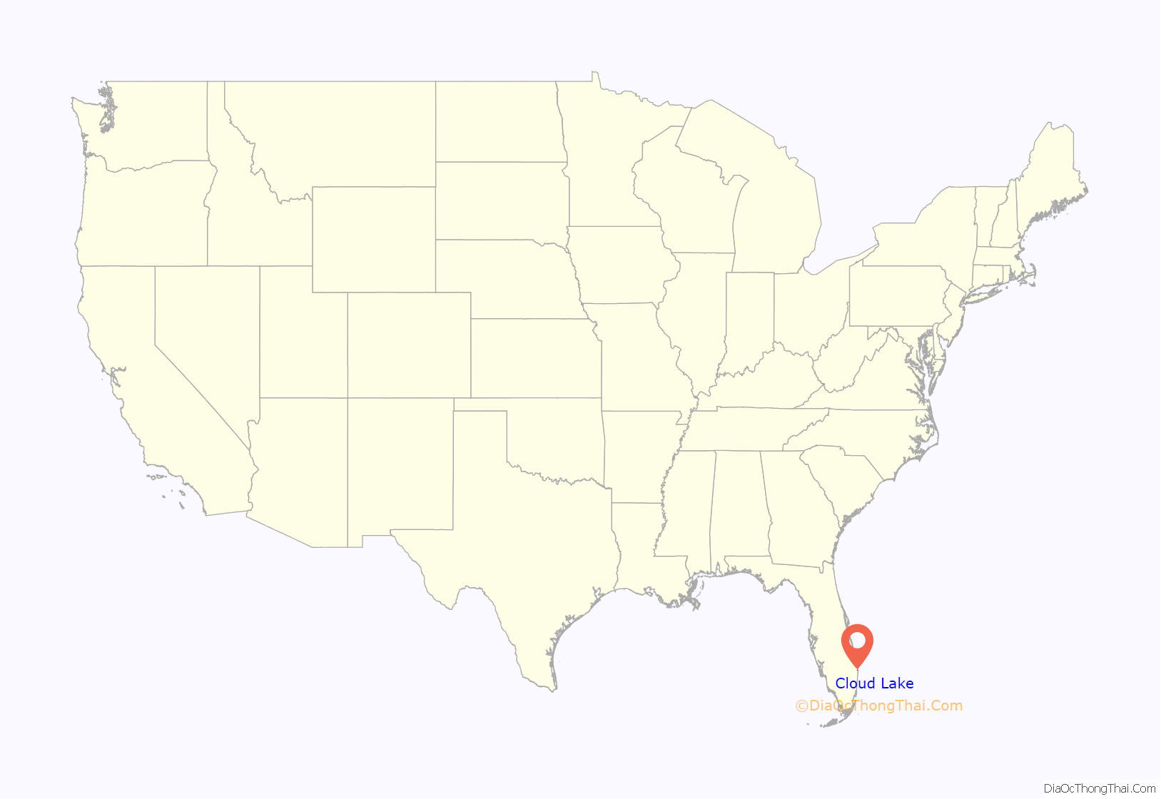
Cloud Lake location map. Where is Cloud Lake town?
History
Cloud Lake was incorporated in 1949. The name is derived from Chief Yaholoochee (The Cloud) of the Seminole Indians.
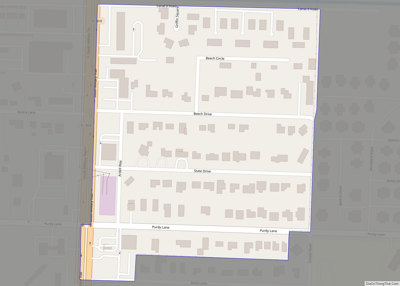
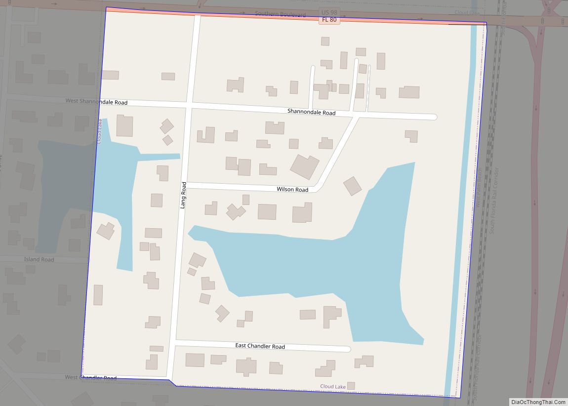
Cloud Lake Road Map
Cloud Lake city Satellite Map
Geography
Cloud Lake is located at 26°40′30″N 80°4′24″W / 26.67500°N 80.07333°W / 26.67500; -80.07333 (26.675043, –80.073351). The town is bounded by Glen Ridge to the west and the south, State Road 80 to the north, and Interstate 95 to the east. According to the United States Census Bureau, the town has a total area of 0.1 square miles (0.26 km), all land.
See also
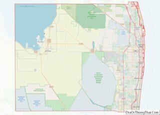
Map of Florida State and its subdivision:- Alachua
- Baker
- Bay
- Bradford
- Brevard
- Broward
- Calhoun
- Charlotte
- Citrus
- Clay
- Collier
- Columbia
- Desoto
- Dixie
- Duval
- Escambia
- Flagler
- Franklin
- Gadsden
- Gilchrist
- Glades
- Gulf
- Hamilton
- Hardee
- Hendry
- Hernando
- Highlands
- Hillsborough
- Holmes
- Indian River
- Jackson
- Jefferson
- Lafayette
- Lake
- Lee
- Leon
- Levy
- Liberty
- Madison
- Manatee
- Marion
- Martin
- Miami-Dade
- Monroe
- Nassau
- Okaloosa
- Okeechobee
- Orange
- Osceola
- Palm Beach
- Pasco
- Pinellas
- Polk
- Putnam
- Saint Johns
- Saint Lucie
- Santa Rosa
- Sarasota
- Seminole
- Sumter
- Suwannee
- Taylor
- Union
- Volusia
- Wakulla
- Walton
- Washington
- Alabama
- Alaska
- Arizona
- Arkansas
- California
- Colorado
- Connecticut
- Delaware
- District of Columbia
- Florida
- Georgia
- Hawaii
- Idaho
- Illinois
- Indiana
- Iowa
- Kansas
- Kentucky
- Louisiana
- Maine
- Maryland
- Massachusetts
- Michigan
- Minnesota
- Mississippi
- Missouri
- Montana
- Nebraska
- Nevada
- New Hampshire
- New Jersey
- New Mexico
- New York
- North Carolina
- North Dakota
- Ohio
- Oklahoma
- Oregon
- Pennsylvania
- Rhode Island
- South Carolina
- South Dakota
- Tennessee
- Texas
- Utah
- Vermont
- Virginia
- Washington
- West Virginia
- Wisconsin
- Wyoming
