Belle Glade is a city in south-central Florida and it is the far western part of Palm Beach County, Florida, United States, on the southeastern shore of Lake Okeechobee. According to the 2020 U.S. Census, the city had a population of 16,698, down from 17,467 in the 2010 census.
Belle Glade (and the surrounding area) is sometimes referred to as “Muck City” due to the large quantity of muck, in which sugarcane grows, found in the area. Despite being located in the South Florida region of the state, Belle Glade is culturally more associated with the Florida Heartland.
For a time during the early to mid 1980s, the city had the highest rate of AIDS infection per capita (37 cases in a population of roughly 19,000) in the United States. According to the FBI, in 2003, the city had the second highest violent crime rate in the country at 298 per 10,000 residents. In 2010, the Palm Beach County sheriff’s office estimated that half of the young men in Belle Glade between the ages of 18 and 25 had felony convictions.
| Name: | Belle Glade city |
|---|---|
| LSAD Code: | 25 |
| LSAD Description: | city (suffix) |
| State: | Florida |
| County: | Palm Beach County |
| Elevation: | 16 ft (5 m) |
| Total Area: | 7.03 sq mi (18.21 km²) |
| Land Area: | 6.97 sq mi (18.06 km²) |
| Water Area: | 0.06 sq mi (0.15 km²) |
| Total Population: | 16,698 |
| Population Density: | 2,395.01/sq mi (924.66/km²) |
| ZIP code: | 33430 |
| Area code: | 561 |
| FIPS code: | 1205200 |
| GNISfeature ID: | 0278445 |
| Website: | http://www.bellegladegov.com/ |
Online Interactive Map
Click on ![]() to view map in "full screen" mode.
to view map in "full screen" mode.
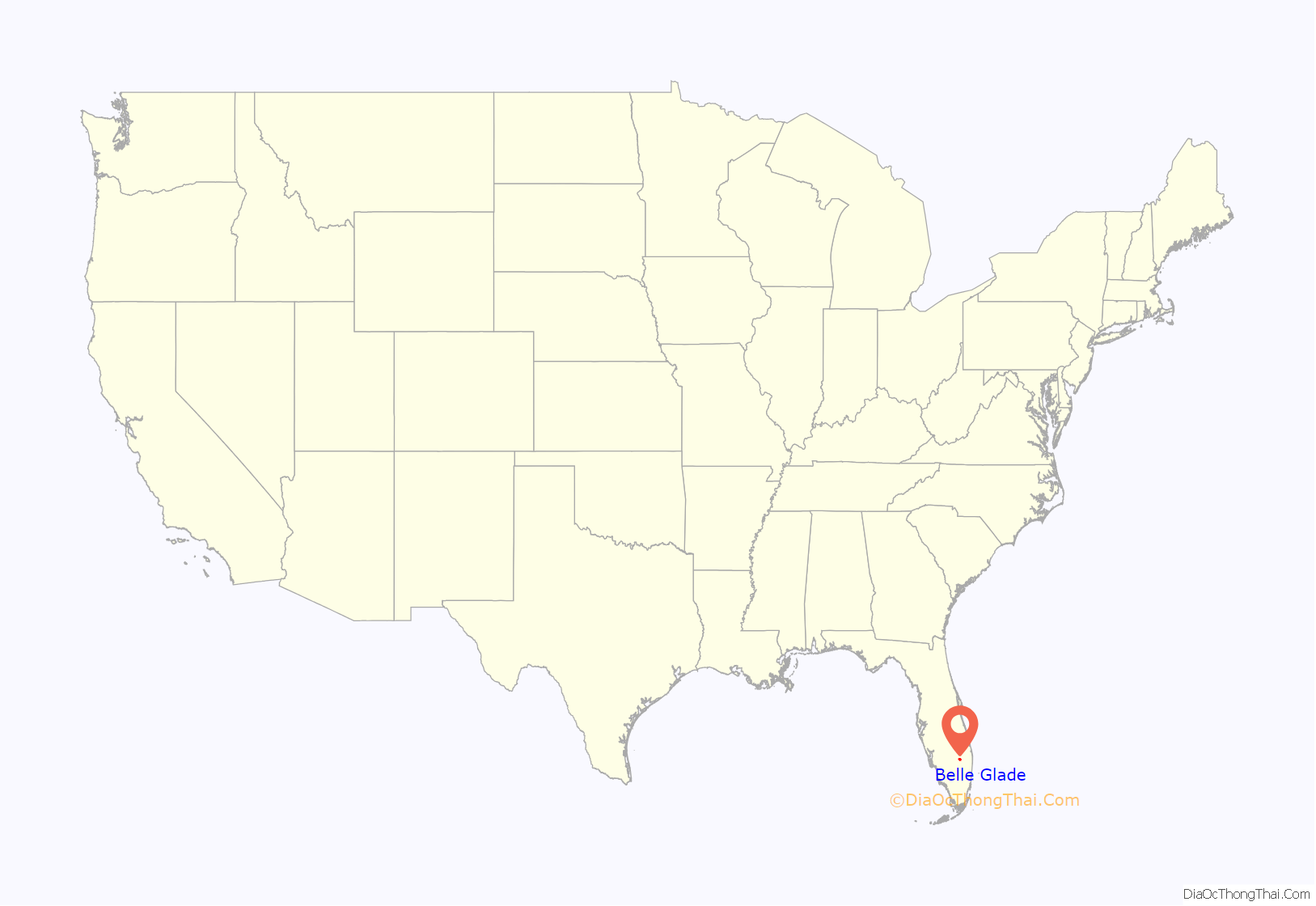
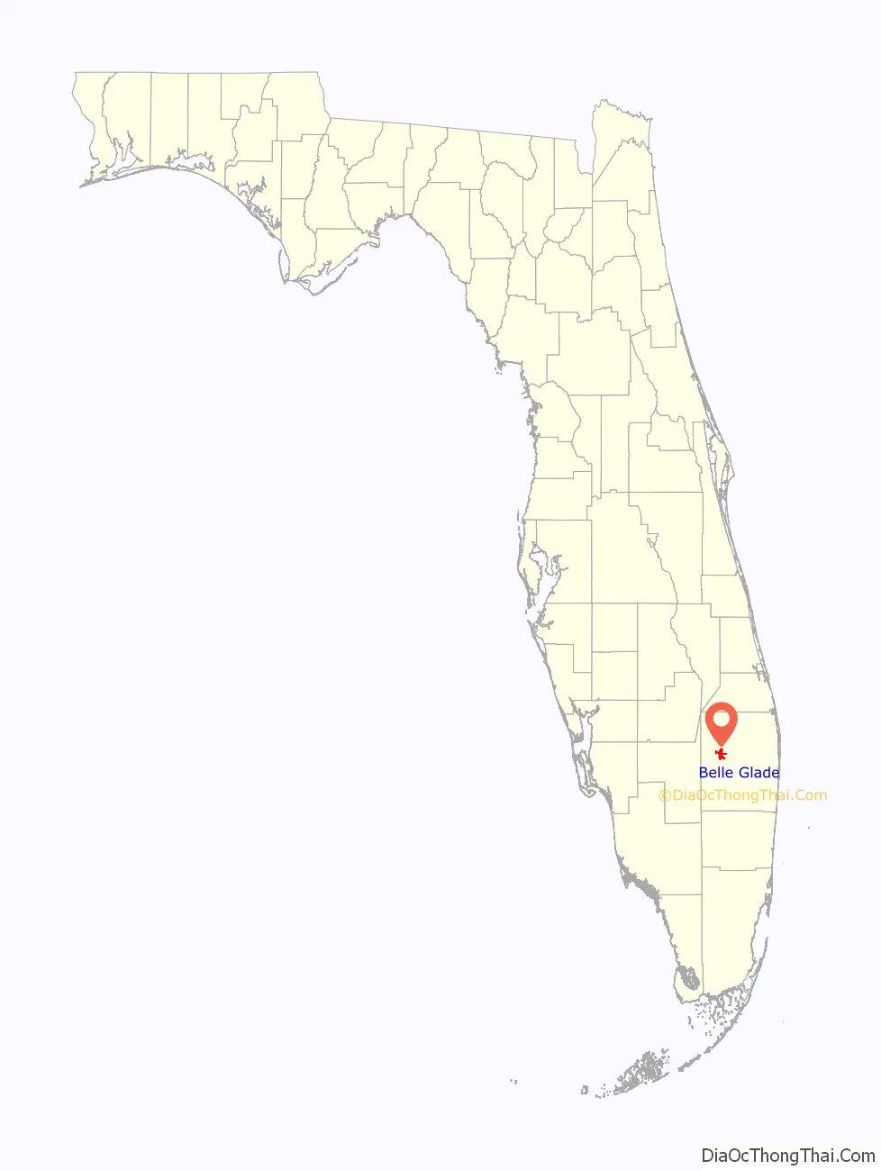
Belle Glade location map. Where is Belle Glade city?
History
Origins
The town of Belle Glade was founded during the Florida land boom of the 1920s. During that period, there were a series of efforts made to put in place drainage systems to reclaim dry land from the Everglades, including land around Lake Okeechobee. It was hoped that the reclaimed acreage could be put to better use, including agriculture. In 1921 the Florida legislature established an agricultural research station at Belle Glade to study methods of growing crops on reclaimed Everglades land. At that time, there were already 16 settlements on and around Lake Okeechobee, inhabited by around 2,000 people.
A settlement, originally named Hillsboro, was built at what is now Belle Glade in 1925. In 1926 the Florida East Coast Railway extended its system to Belle Glade, which helped the town’s development.
1928 hurricane
A powerful hurricane struck the area on September 16, 1928. The storm winds caused Lake Okeechobee to overflow its banks, inundating towns around the lake and causing widespread damage in Belle Glade. According to figures compiled by the Florida Department of Health, the storm killed 611 people in Belle Glade alone, and a total of over 1,800 statewide. Contemporary accounts stated that most of the dead were Black migrant farmworkers, a “large percentage” of which were believed to be from the Bahamas. Belle Glade was rebuilt, and a large dike was erected to protect towns around the lake from storm-driven overflows.
World War II
German prisoners of war were confined in camps located at Belle Glade and nearby Clewiston during World War II.
HIV/AIDS
In the early 1980s, researchers began to notice a large number of people with AIDS in Belle Glade. The disease had first been identified by doctors in New York and California in 1981, and it was largely associated with communities of gay men in and around large cities. In Belle Glade, however, people with AIDS mainly identified as heterosexual, and around half were women. Some researchers, and notably Dr. Mark Whiteside and Dr. Carolyn MacLeod of the Institute of Tropical Medicine, in Miami, hypothesized that AIDS in Belle Glade might be connected to poverty and poor living conditions in the city’s “colored town,” where many people diagnosed with the disease also lived. Their theory, along with the very high per capita AIDS rate in Belle Glade, brought notoriety to the town as the “AIDS capital of the world.” Whiteside and MacLeod’s theory turned out to be incorrect, but subsequent research conducted in Belle Glade shaped scientific knowledge about the transmission of HIV, the virus that causes AIDS, through heterosexual sex.
In recent years
Today, the area around Lake Okeechobee is fertile and farming is an important industry. Sugar cane and vegetables are grown.
Migrant farmworkers are an important part of the labor force. Belle Glade received national attention when a 1960 CBS television documentary, Harvest of Shame, graphically depicted the local migrant farmerworkers’ daily existence and working conditions.
As of May 2014 the city has plans “to demolish the loading ramp and turn it into a park.”
The town is known for its football tradition, and together with nearby Pahokee has “sent at least 60 players to the National Football League”.
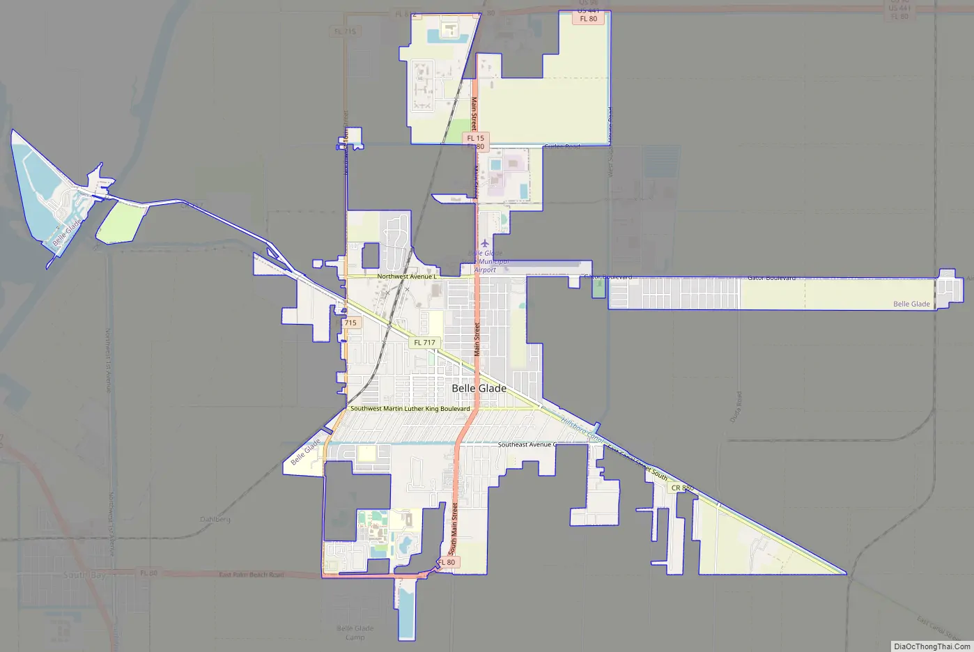
Belle Glade Road Map
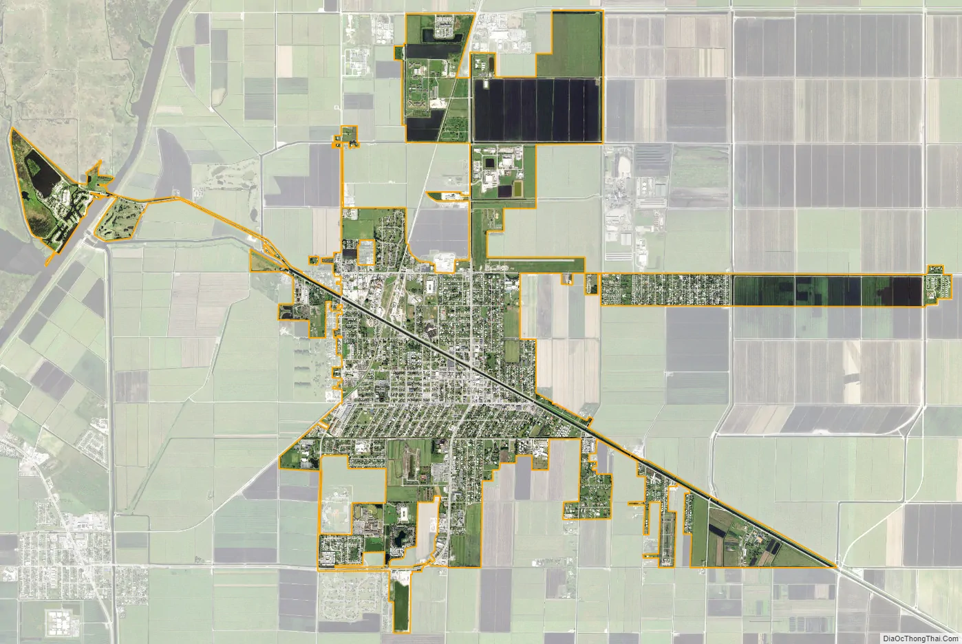
Belle Glade city Satellite Map
Geography
According to the United States Census Bureau, the city has a total area of 4.7 square miles (12 km), of which 4.7 square miles (12 km) are land and 0.21% is water.
Climate
See also
Map of Florida State and its subdivision:- Alachua
- Baker
- Bay
- Bradford
- Brevard
- Broward
- Calhoun
- Charlotte
- Citrus
- Clay
- Collier
- Columbia
- Desoto
- Dixie
- Duval
- Escambia
- Flagler
- Franklin
- Gadsden
- Gilchrist
- Glades
- Gulf
- Hamilton
- Hardee
- Hendry
- Hernando
- Highlands
- Hillsborough
- Holmes
- Indian River
- Jackson
- Jefferson
- Lafayette
- Lake
- Lee
- Leon
- Levy
- Liberty
- Madison
- Manatee
- Marion
- Martin
- Miami-Dade
- Monroe
- Nassau
- Okaloosa
- Okeechobee
- Orange
- Osceola
- Palm Beach
- Pasco
- Pinellas
- Polk
- Putnam
- Saint Johns
- Saint Lucie
- Santa Rosa
- Sarasota
- Seminole
- Sumter
- Suwannee
- Taylor
- Union
- Volusia
- Wakulla
- Walton
- Washington
- Alabama
- Alaska
- Arizona
- Arkansas
- California
- Colorado
- Connecticut
- Delaware
- District of Columbia
- Florida
- Georgia
- Hawaii
- Idaho
- Illinois
- Indiana
- Iowa
- Kansas
- Kentucky
- Louisiana
- Maine
- Maryland
- Massachusetts
- Michigan
- Minnesota
- Mississippi
- Missouri
- Montana
- Nebraska
- Nevada
- New Hampshire
- New Jersey
- New Mexico
- New York
- North Carolina
- North Dakota
- Ohio
- Oklahoma
- Oregon
- Pennsylvania
- Rhode Island
- South Carolina
- South Dakota
- Tennessee
- Texas
- Utah
- Vermont
- Virginia
- Washington
- West Virginia
- Wisconsin
- Wyoming


