Estero is a village in Lee County, Florida, United States. As of the 2020 census, the population was 36,939. During the 2010 census, Estero was an unincorporated community, or census-designated place, the population at that time was 22,612. Estero incorporated as a village in 2014. In 2019, the village’s estimated population was 33,871. Estero is part of the Cape Coral-Fort Myers, Florida Metropolitan Statistical Area.
Estero is the home of Hertz Arena, which hosts the home games for the Florida Everblades ECHL ice hockey team. Florida Gulf Coast University is located just north of the Estero village limits.
| Name: | Estero village |
|---|---|
| LSAD Code: | 47 |
| LSAD Description: | village (suffix) |
| State: | Florida |
| County: | Lee County |
| Elevation: | 13 ft (4 m) |
| Total Area: | 25.39 sq mi (65.76 km²) |
| Land Area: | 24.37 sq mi (63.12 km²) |
| Water Area: | 1.02 sq mi (2.64 km²) |
| Total Population: | 36,939 |
| Population Density: | 1,515.82/sq mi (585.25/km²) |
| ZIP code: | 33928 & 33967 |
| Area code: | 239 |
| FIPS code: | 1221150 |
| GNISfeature ID: | 2771501 |
| Website: | estero-fl.gov |
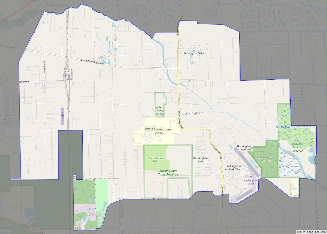
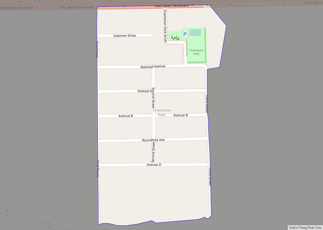
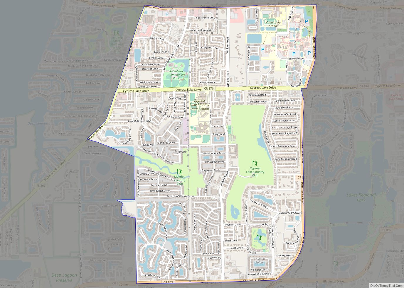
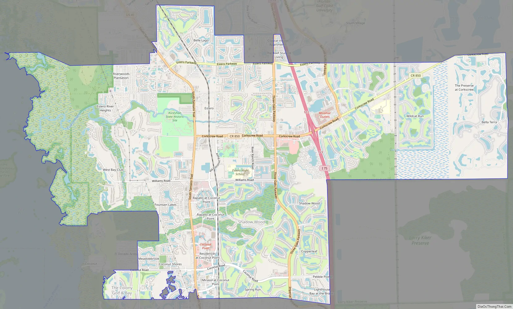
Online Interactive Map
Click on ![]() to view map in "full screen" mode.
to view map in "full screen" mode.
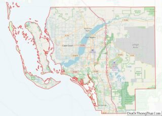
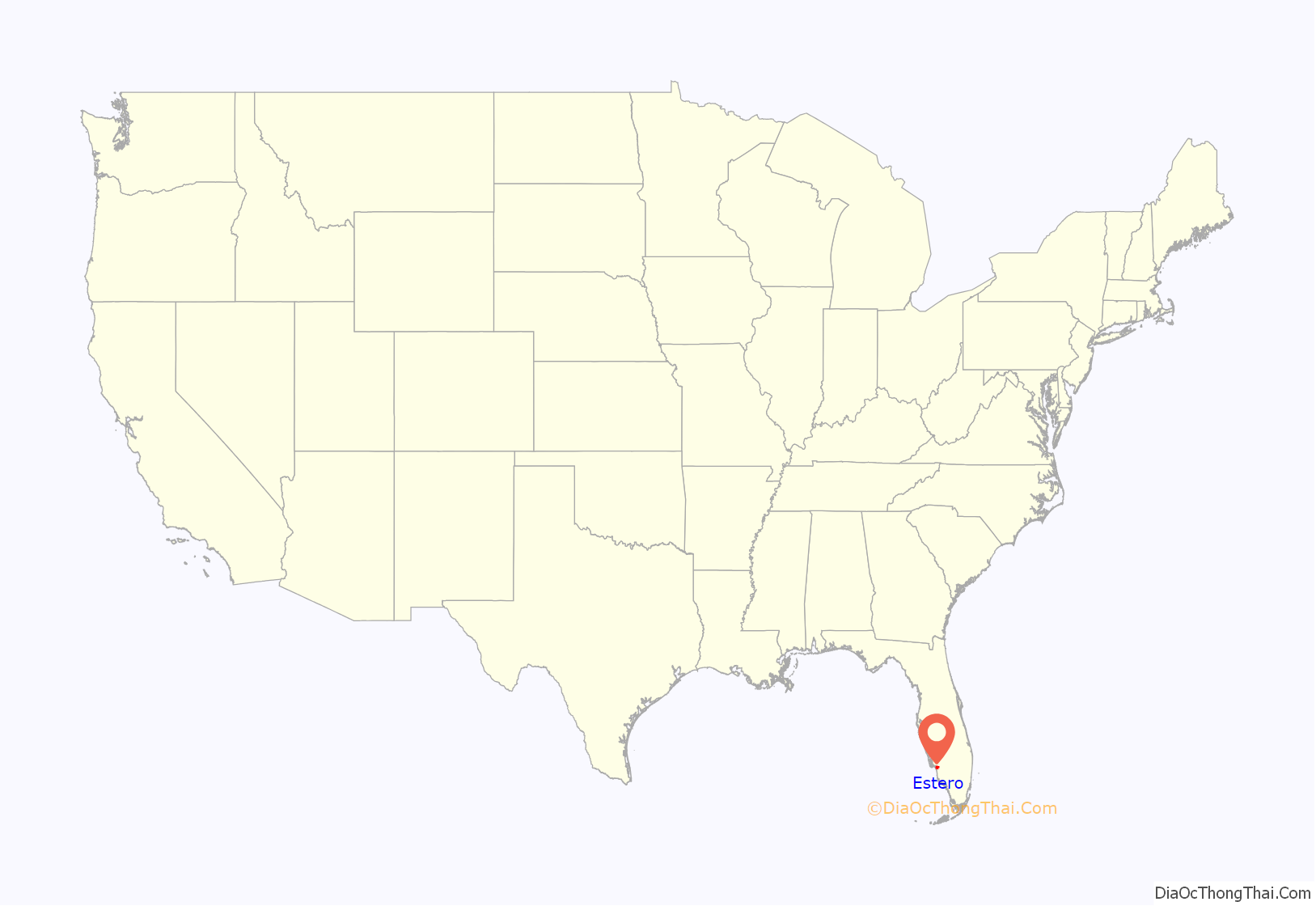
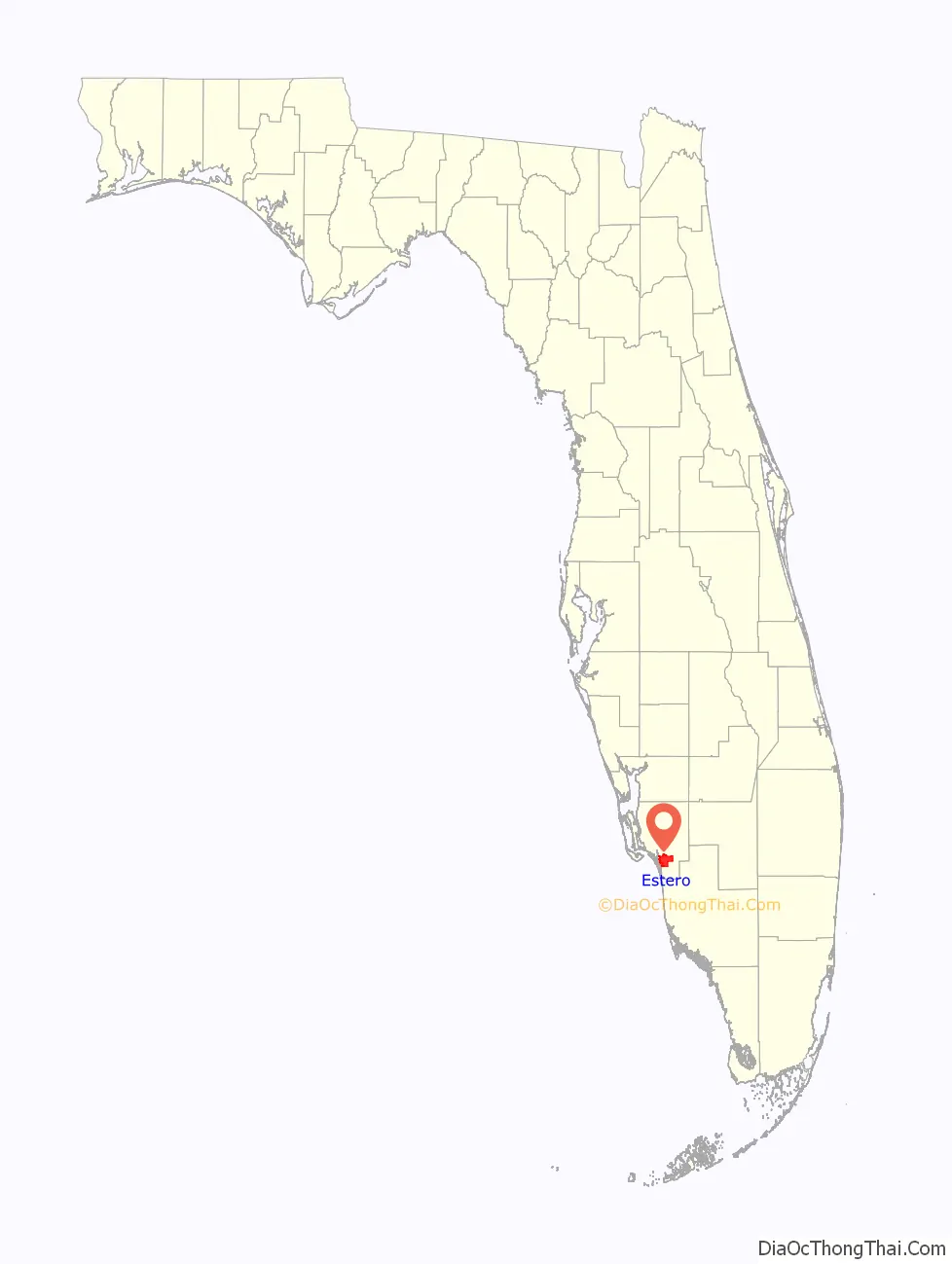
Estero location map. Where is Estero village?
History
Mound Key, located in Estero Bay, is believed to have been the ceremonial center of the Calusa Indians when they were encountered by the Spanish in the early 1500s. German homesteader Gustave Damkohler began planting mulberry trees in 1882 along the Estero River, followed by others who established fish camps and the region’s first citrus groves. In 1894, Damkohler donated property to the followers of Cyrus Teed, who proposed a theory that people live on the inside of the Earth’s outer skin, and that celestial bodies are all contained inside the hollow Earth. This theory, which he called Koreshan Unity, drew followers to occupy and develop Damkohler’s original 320-acre (1.3 km) tract. They were business-oriented and lived communally, prospering enough to found their own political party (“The Progressive Liberty Party”) and incorporate the town on September 1, 1904, as Estero. At the behest of other local officials, the Florida legislature abolished the municipality of Estero in 1907.
The 1908 death of Teed (who claimed to be immortal) was a critical blow to the group’s faith, whose membership dwindled into the 1960s. The foundation remains as “The College of Life Foundation”, which contributed (for example) at least $25,000 to the Gulf Shore Playhouse in or around 2007. The Koreshans’ original tract is now owned by Florida as the Koreshan State Historic Site.
Access to Estero was greatly improved in the 1920s when the Tamiami Trail, a highway linking Tampa and Miami, and two railroads were built through the area. The Tamiami Trail was fully complete in 1928. The Atlantic Coast Line Railroad (via its Fort Myers Southern Railroad subsidiary) began service through Estero in 1925. A competing railroad, the Seaboard Air Line Railroad (via its Seaboard-All Florida Railway subsidiary) also began service through Estero in 1927. Today, the former Atlantic Coast Line tracks are still in place east of US 41 and have been owned by Seminole Gulf Railway since 1987. The former Seaboard tracks were removed in the 1940s and its former route west of US 41 is now an FPL power line corridor.
Estero incorporated as a village on December 31, 2014.
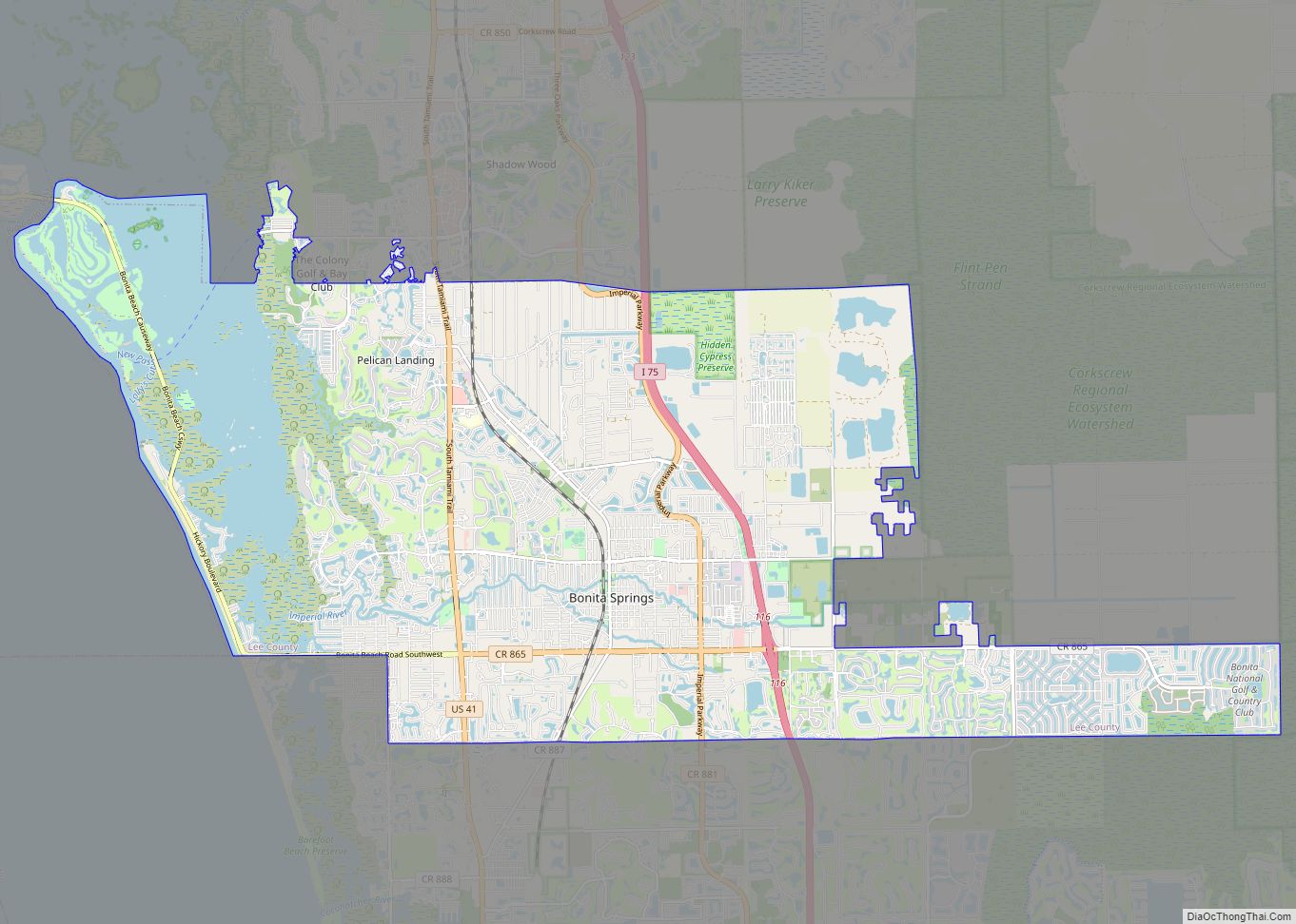
Estero Road Map
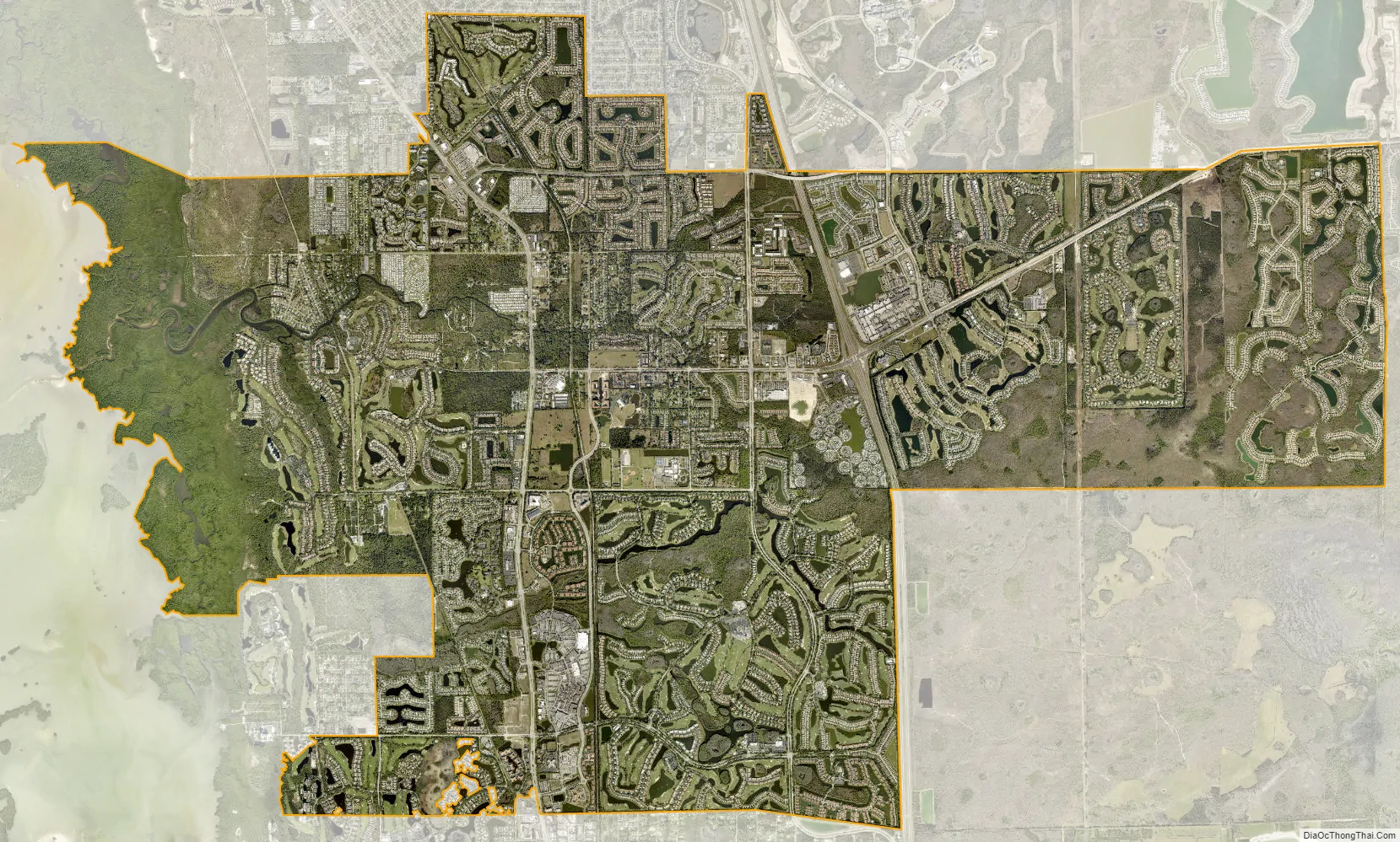
Estero city Satellite Map
Geography
The Village of Estero is located in southern Lee County at 26°25′56″N 81°48′34″W / 26.43222°N 81.80944°W / 26.43222; -81.80944 (26.432237, –81.809447). It is bordered to the south by the city of Bonita Springs and to the north by unincorporated San Carlos Park and Three Oaks.
According to the United States Census Bureau, the village of Estero has a total area of 25.4 square miles (65.7 km), of which 24.4 square miles (63.1 km) are land and 1.0 square mile (2.7 km), or 4.05%, are water.
Historically and culturally, the heart of Estero is the spring-fed Estero River, which flows to Estero Bay. Some of the earliest settlers of the area (notably the Alvarez, Fernandez, Johnson, and Soto families) were fishing families that lived on Mound Key, a mangrove-ringed island that dominates Estero Bay. During the early 20th century, these families moved upriver to the settlement which came to be known as Estero. Estero is also the location of a utopian community called the Koreshan Unity, which is now preserved as the Koreshan State Historic Site. Until the 1970s, most settlement and development in Estero was near the river.
See also
Map of Florida State and its subdivision:- Alachua
- Baker
- Bay
- Bradford
- Brevard
- Broward
- Calhoun
- Charlotte
- Citrus
- Clay
- Collier
- Columbia
- Desoto
- Dixie
- Duval
- Escambia
- Flagler
- Franklin
- Gadsden
- Gilchrist
- Glades
- Gulf
- Hamilton
- Hardee
- Hendry
- Hernando
- Highlands
- Hillsborough
- Holmes
- Indian River
- Jackson
- Jefferson
- Lafayette
- Lake
- Lee
- Leon
- Levy
- Liberty
- Madison
- Manatee
- Marion
- Martin
- Miami-Dade
- Monroe
- Nassau
- Okaloosa
- Okeechobee
- Orange
- Osceola
- Palm Beach
- Pasco
- Pinellas
- Polk
- Putnam
- Saint Johns
- Saint Lucie
- Santa Rosa
- Sarasota
- Seminole
- Sumter
- Suwannee
- Taylor
- Union
- Volusia
- Wakulla
- Walton
- Washington
- Alabama
- Alaska
- Arizona
- Arkansas
- California
- Colorado
- Connecticut
- Delaware
- District of Columbia
- Florida
- Georgia
- Hawaii
- Idaho
- Illinois
- Indiana
- Iowa
- Kansas
- Kentucky
- Louisiana
- Maine
- Maryland
- Massachusetts
- Michigan
- Minnesota
- Mississippi
- Missouri
- Montana
- Nebraska
- Nevada
- New Hampshire
- New Jersey
- New Mexico
- New York
- North Carolina
- North Dakota
- Ohio
- Oklahoma
- Oregon
- Pennsylvania
- Rhode Island
- South Carolina
- South Dakota
- Tennessee
- Texas
- Utah
- Vermont
- Virginia
- Washington
- West Virginia
- Wisconsin
- Wyoming