Fort Denaud is a census-designated place (CDP) and former fort in Hendry County, Florida, United States. As of the 2020 census,the population of the CDP was 2,049.
| Name: | Fort Denaud CDP |
|---|---|
| LSAD Code: | 57 |
| LSAD Description: | CDP (suffix) |
| State: | Florida |
| County: | Hendry County |
| Elevation: | 14 ft (4 m) |
| Total Area: | 20.76 sq mi (53.78 km²) |
| Land Area: | 20.05 sq mi (51.94 km²) |
| Water Area: | 0.71 sq mi (1.84 km²) |
| Total Population: | 2,049 |
| Population Density: | 102.18/sq mi (39.45/km²) |
| ZIP code: | 33935 |
| Area code: | 863 |
| FIPS code: | 1223730 |
| GNISfeature ID: | 2583343 |
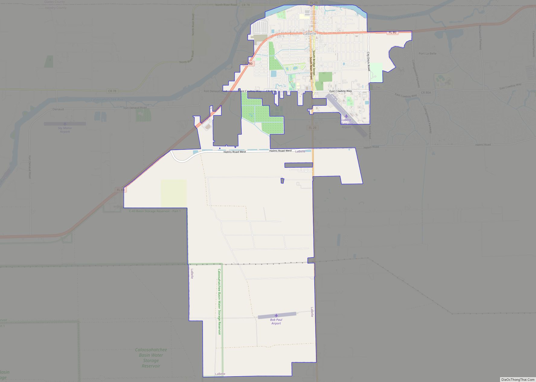
Online Interactive Map
Click on ![]() to view map in "full screen" mode.
to view map in "full screen" mode.
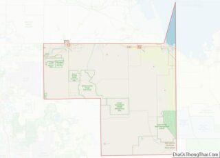
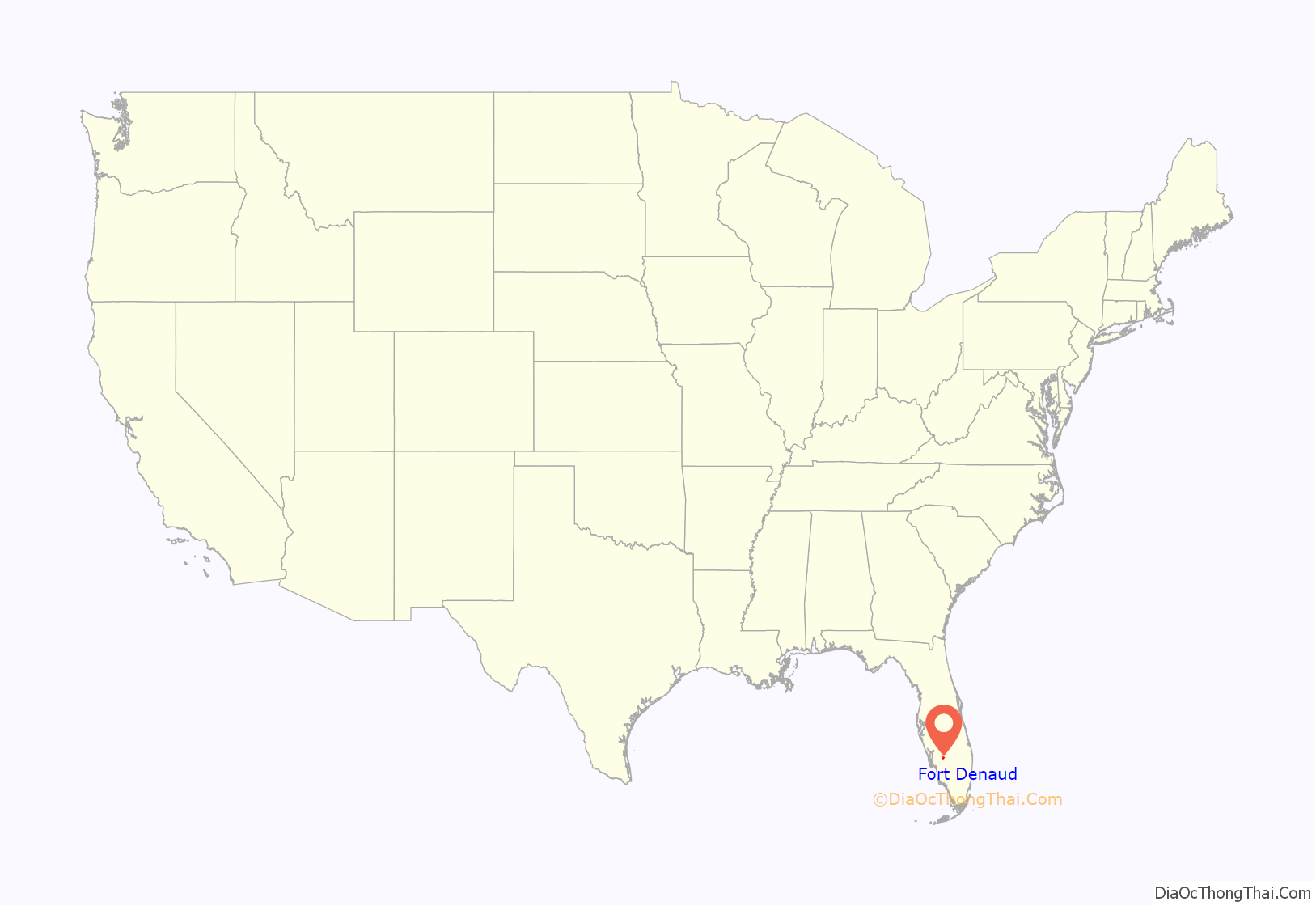
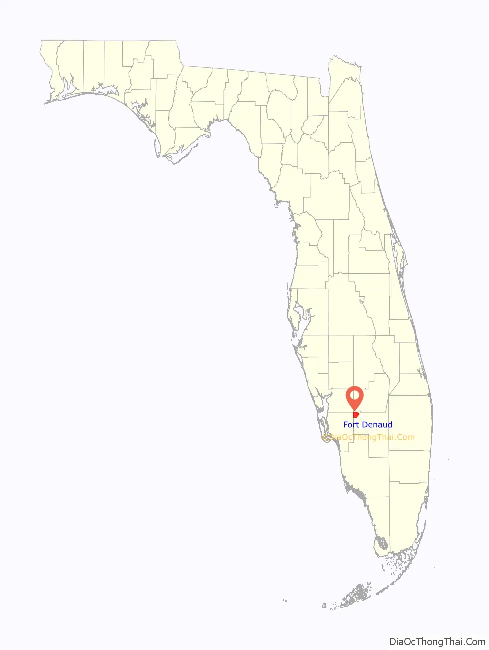
Fort Denaud location map. Where is Fort Denaud CDP?
History
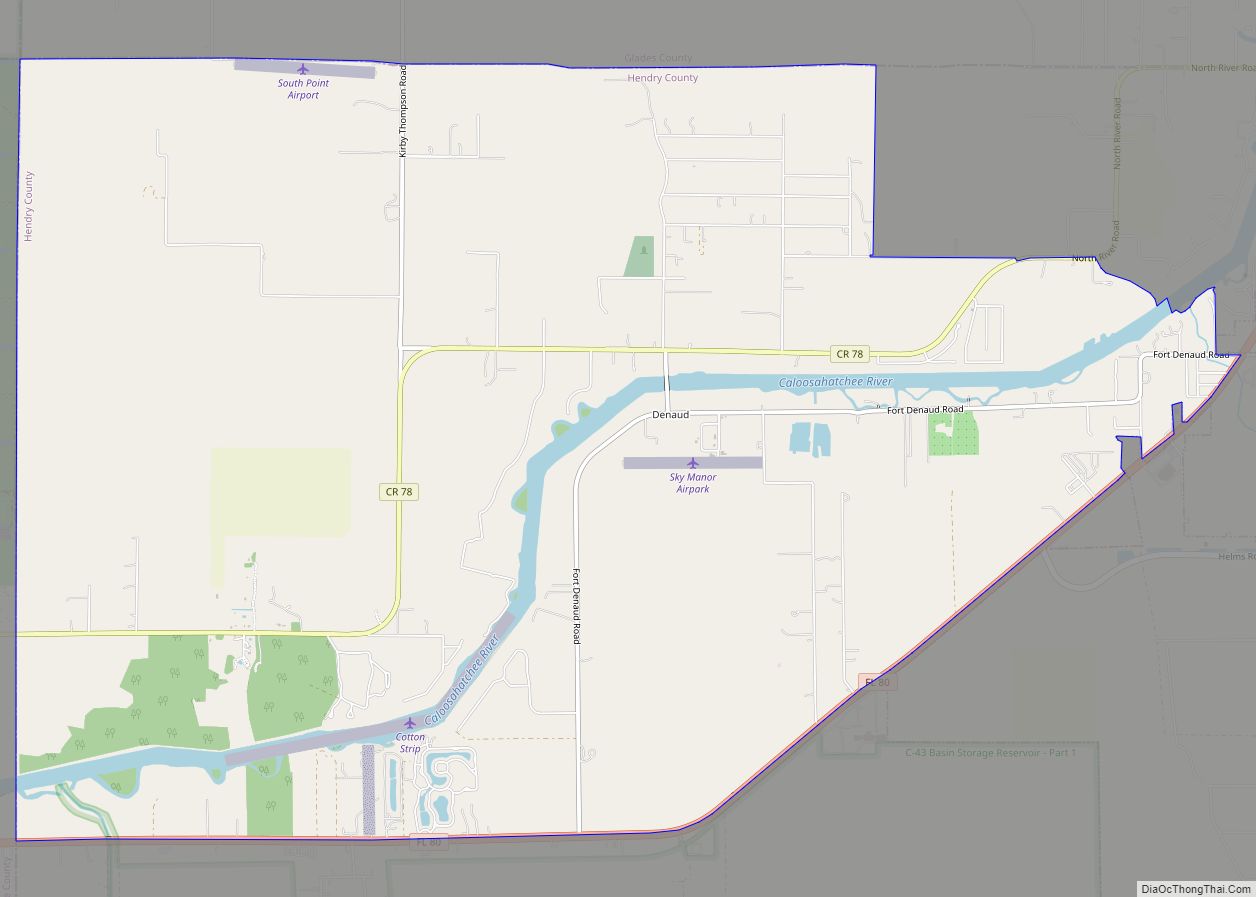
The fort was situated next to the Caloosahatchee River, 27 miles (43 km) east of Fort Myers. The fort was first established in 1837 as a supply depot during the Second Seminole War. It was named in honor of Pierre Denaud, a French-Canadian trapper who had owned the land and had traded skins and hides with the Seminole prior to the Seminole War. The fort was reoccupied and was more tactically significant during the Third Seminole War, where it served as a headquarters for several companies of federal troops and as a middle point on the Caloosahatchee river between Fort Myers and Lake Okeechobee. In December 1854, Brevet Major William Hays took command of three companies from the 2nd Artillery Regiment serving in the area. In January of 1855, he moved most of his men to Fort Denaud and established it as his operational base and headquarters. From there, patrols were sent out into Big Cypress Swamp to map out Indian villages as well as along Fisheating Creek. A sketch from 1855 shows that Fort Denaud was connected to a fort opposite the Caloosahatchee called Fort T.B. Adams by a boat bridge. On January 18, 1856, a small army detachment was attacked on the river near Denaud and all but one of the soldiers were killed.
In 1963, the swing-style Fort Denaud Bridge was built across the Caloosahatchee. The bridge and its current approach stands were put into place at mile 108.2 along Route 78A. On the north side of the river is Fort Denaud Cemetery. On the south side of the Fort Denaud Bridge is a historic marker.
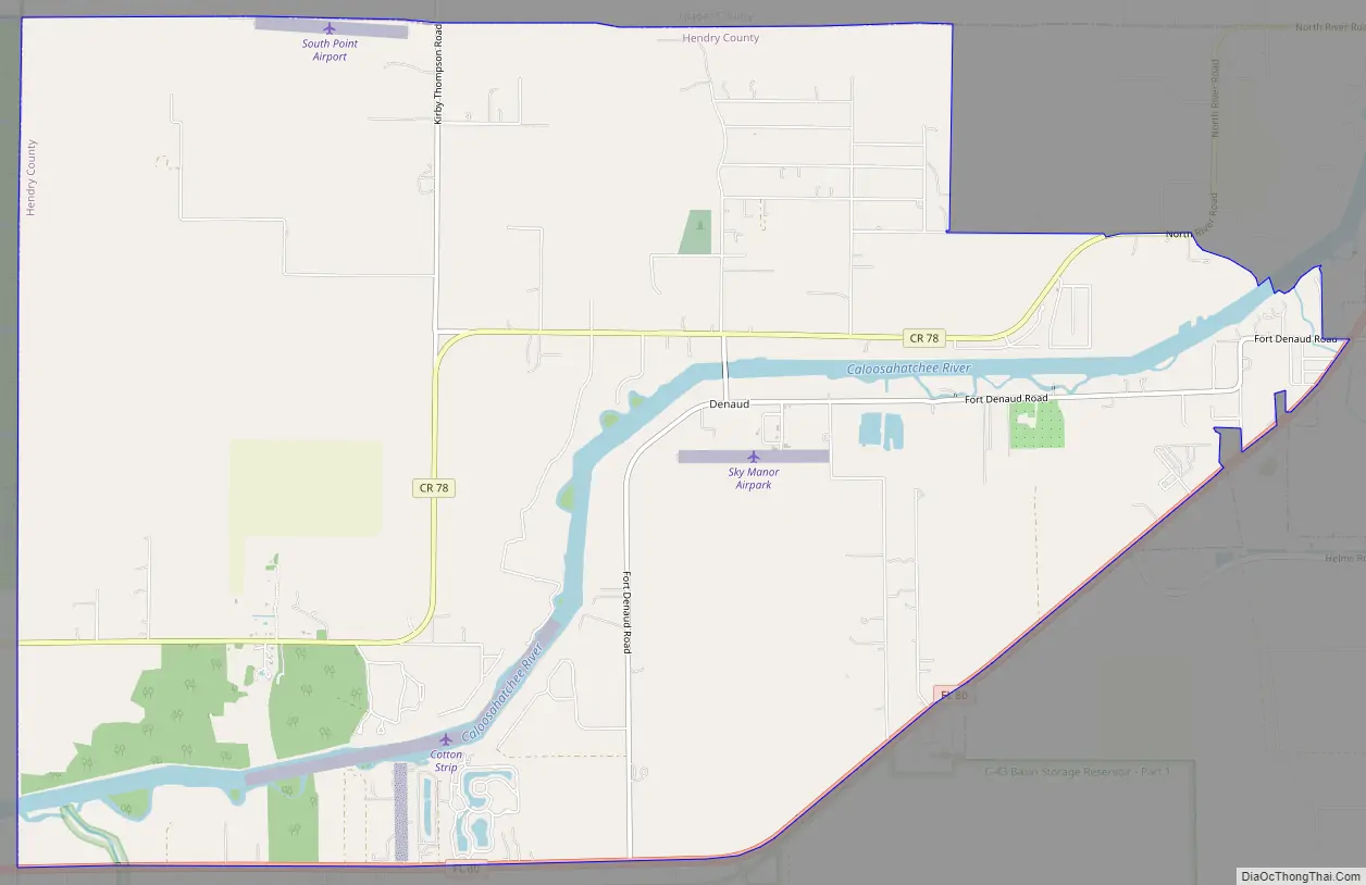
Fort Denaud Road Map
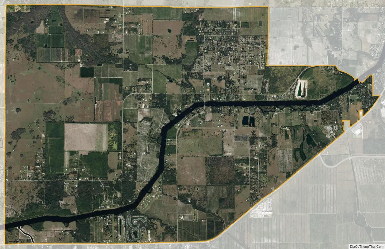
Fort Denaud city Satellite Map
Geography
The Fort Denaud CDP occupies the northwest corner of Hendry County. It is bounded to the north by Glades County, to the southeast by the city of LaBelle, and to the west by Lee County. Florida State Road 80 forms the southern edge of the CDP; SR 80 leads east 2 miles (3 km) into LaBelle and 34 miles (55 km) to Clewiston, and west 27 miles (43 km) to Fort Myers.
According to the U.S. Census Bureau, the CDP has a total area of 20.8 square miles (54.0 km), of which 20.2 square miles (52.2 km) are land and 0.69 square miles (1.8 km), or 3.40%, are water. The Caloosahatchee River flows through the center of the CDP, running west to tidewater at Fort Myers.
See also
Map of Florida State and its subdivision:- Alachua
- Baker
- Bay
- Bradford
- Brevard
- Broward
- Calhoun
- Charlotte
- Citrus
- Clay
- Collier
- Columbia
- Desoto
- Dixie
- Duval
- Escambia
- Flagler
- Franklin
- Gadsden
- Gilchrist
- Glades
- Gulf
- Hamilton
- Hardee
- Hendry
- Hernando
- Highlands
- Hillsborough
- Holmes
- Indian River
- Jackson
- Jefferson
- Lafayette
- Lake
- Lee
- Leon
- Levy
- Liberty
- Madison
- Manatee
- Marion
- Martin
- Miami-Dade
- Monroe
- Nassau
- Okaloosa
- Okeechobee
- Orange
- Osceola
- Palm Beach
- Pasco
- Pinellas
- Polk
- Putnam
- Saint Johns
- Saint Lucie
- Santa Rosa
- Sarasota
- Seminole
- Sumter
- Suwannee
- Taylor
- Union
- Volusia
- Wakulla
- Walton
- Washington
- Alabama
- Alaska
- Arizona
- Arkansas
- California
- Colorado
- Connecticut
- Delaware
- District of Columbia
- Florida
- Georgia
- Hawaii
- Idaho
- Illinois
- Indiana
- Iowa
- Kansas
- Kentucky
- Louisiana
- Maine
- Maryland
- Massachusetts
- Michigan
- Minnesota
- Mississippi
- Missouri
- Montana
- Nebraska
- Nevada
- New Hampshire
- New Jersey
- New Mexico
- New York
- North Carolina
- North Dakota
- Ohio
- Oklahoma
- Oregon
- Pennsylvania
- Rhode Island
- South Carolina
- South Dakota
- Tennessee
- Texas
- Utah
- Vermont
- Virginia
- Washington
- West Virginia
- Wisconsin
- Wyoming