LaBelle is a city in and the county seat of Hendry County, Florida, United States. The population was 4,640 at the 2010 census, up from 4,210 at the 2000 census. It was named for Laura June Hendry and Carrie Belle Hendry, daughters of pioneer cattleman Francis Asbury Hendry.
LaBelle hosts the annual Swamp Cabbage Festival, which is held in honor of the Florida state tree during the last full weekend of February.
| Name: | LaBelle city |
|---|---|
| LSAD Code: | 25 |
| LSAD Description: | city (suffix) |
| State: | Florida |
| County: | Hendry County |
| Elevation: | 13 ft (4 m) |
| Total Area: | 14.59 sq mi (37.78 km²) |
| Land Area: | 14.49 sq mi (37.52 km²) |
| Water Area: | 0.10 sq mi (0.25 km²) |
| Total Population: | 4,966 |
| Population Density: | 342.79/sq mi (132.35/km²) |
| ZIP code: | 33935, 33975 |
| Area code: | 863 |
| FIPS code: | 1237225 |
| GNISfeature ID: | 0285188 |
| Website: | www.citylabelle.com |
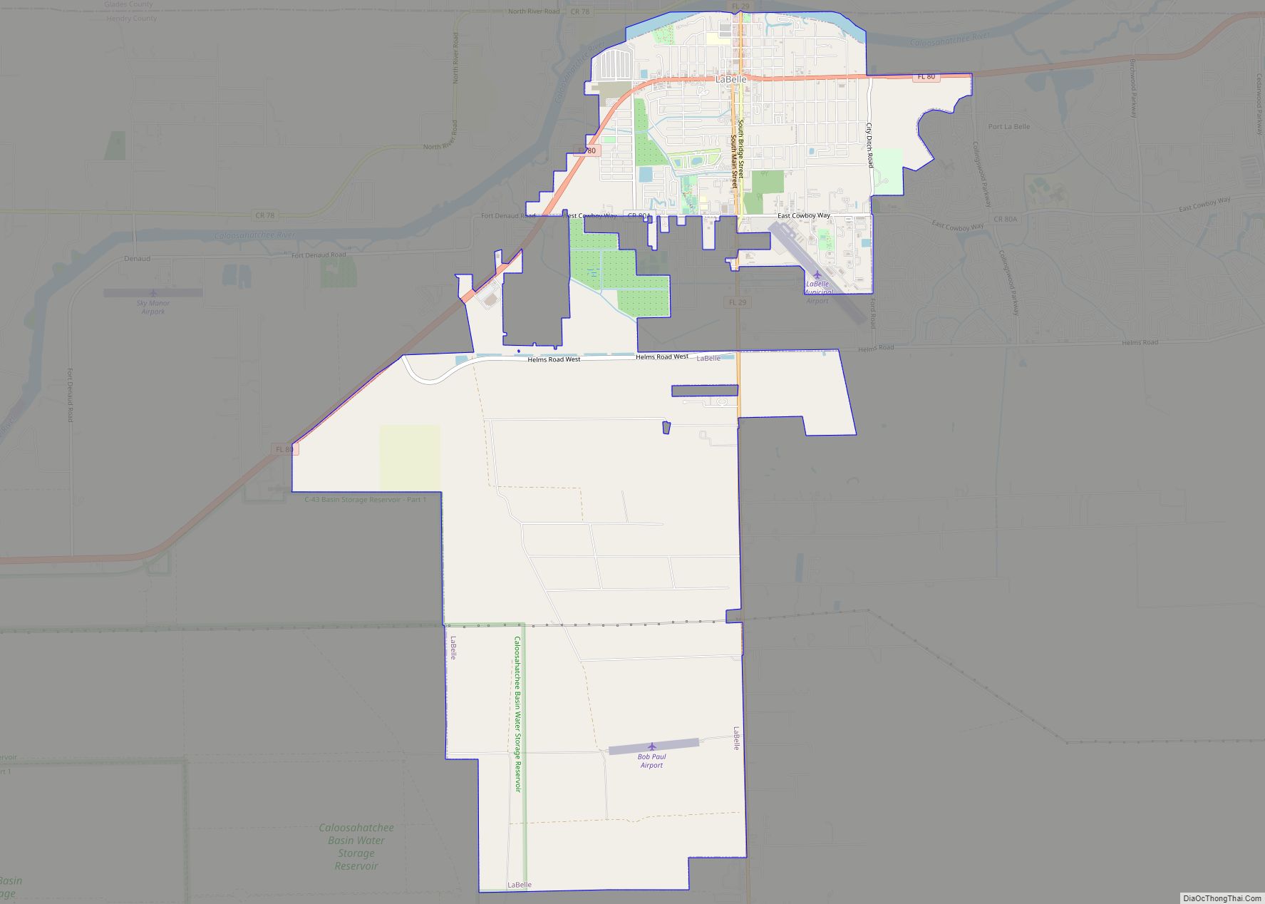
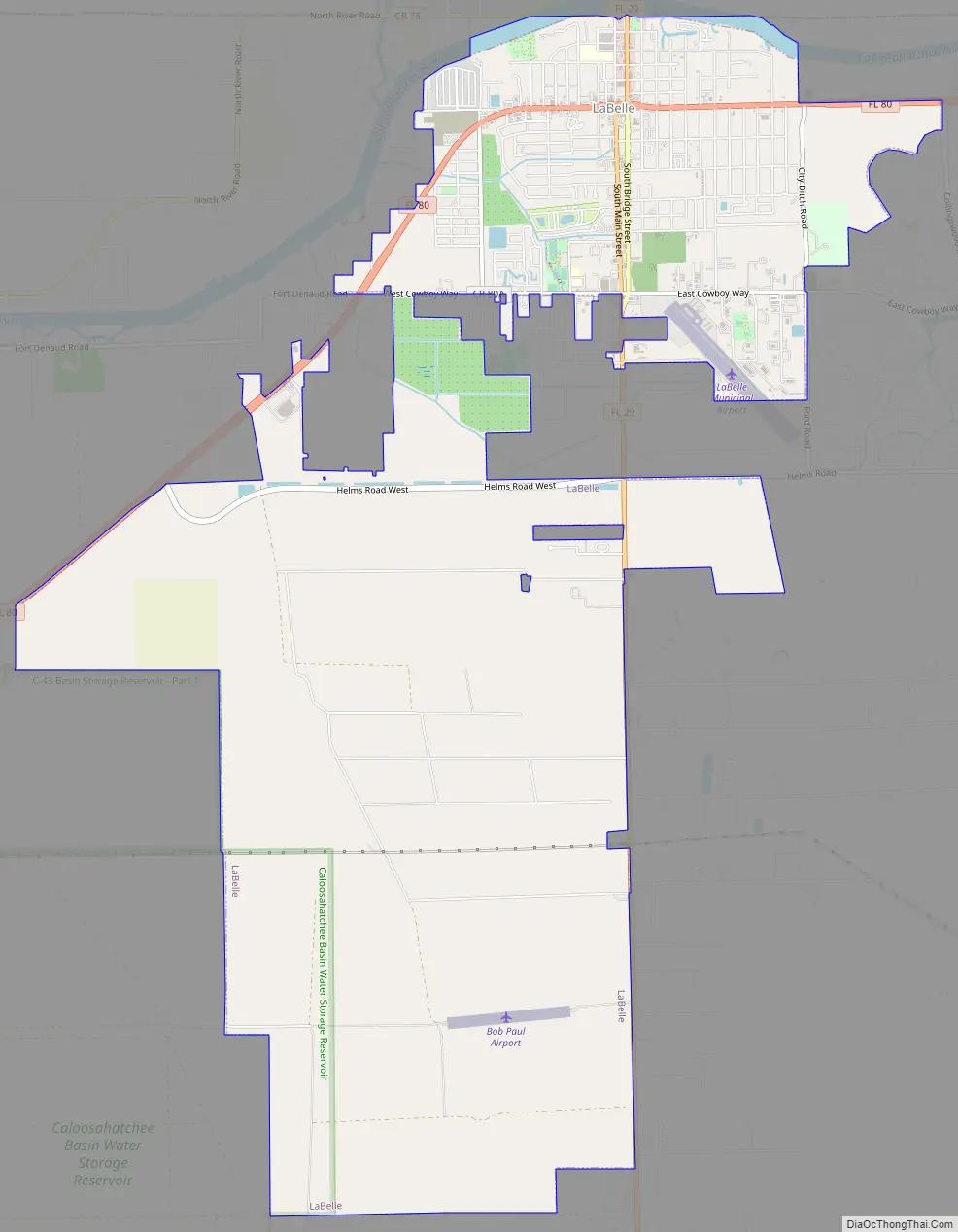
Online Interactive Map
Click on ![]() to view map in "full screen" mode.
to view map in "full screen" mode.
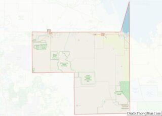
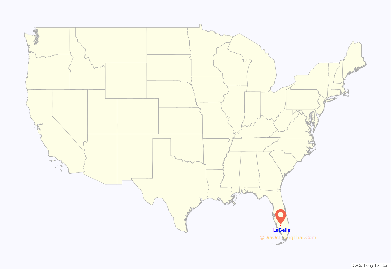
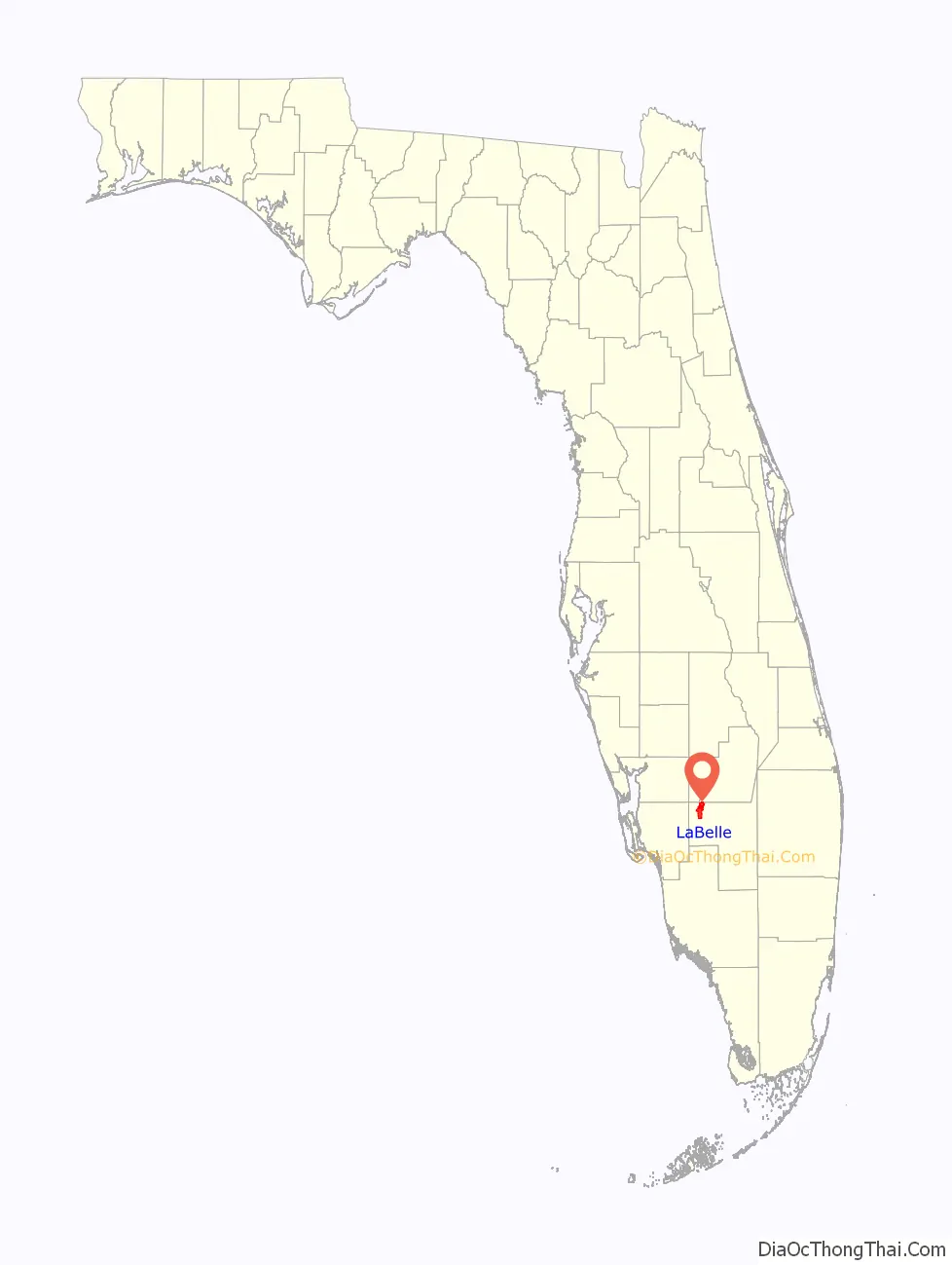
LaBelle location map. Where is LaBelle city?
History
LaBelle began as a settlement on the Caloosahatchee River around the time of Hamilton Disston’s efforts to drain the Everglades with the hope of promoting growth. The settlement, which lay on the western edge of Captain Francis A. Hendry’s large Monroe County property, was initially populated with cattle drovers and trappers.
By 1891, LaBelle had constructed its first school on the ground of what would become the white-columned LaBelle School, built in 1915. By 1921, LaBelle school was one of 18 accredited schools in Florida. The campus is now Edward A. Upthegrove Elementary School, named after one of LaBelle’s original two families.
In 1909, Captain Hendry subdivided his land from the Lee County courthouse to be sold. The majority landholding stake was bought by Edgar Everett (E. E.) Goodno, which increased LaBelle to almost twenty times its original size. In May 1924, Henry Ford acquired 7,000 acres (2,800 ha) in LaBelle from E. E. Goodno. Ford had made a loan of $166,986.46 to Goodno in 1922, securing the loan with Goodno’s property. Two years later, Ford cancelled Goodno’s debt and mortgage, gave him $63,000, and took the 7,000 acre deed from Goodno. Goodno stayed to manage the property, raising Poll Angus cattle, Brahman cattle, and Angora goats.
LaBelle’s first church, a Methodist congregation, was established in 1891 and soon absorbed an older Methodist Church in nearby Fort Denaud. In 1912, LaBelle also had a Baptist church, among other denominations, with mass baptisms in the Caloosahatchee River.
LaBelle became the county seat of Hendry County in 1923. In 1925, the Florida Legislature chartered the City of LaBelle, which replaced the Town of LaBelle. D. A. Mitchell was named the first mayor.
In 1929 with part of LaBelle residing in Glades County and the majority in Hendry, the government of Glades County proposed resolving a bond dispute with the Hendry County government by surrendering all parts of LaBelle in Glades County. In an approved public referendum, the proposal was put forth and the portion of LaBelle in Glades was surrendered. Eight years later, the surrendered part of North LaBelle voted to annex itself back into Hendry County, as residents felt that the Glades County government in Moore Haven was ignoring them. The vote succeeded and what was previously North LaBelle was united back with the city of LaBelle.
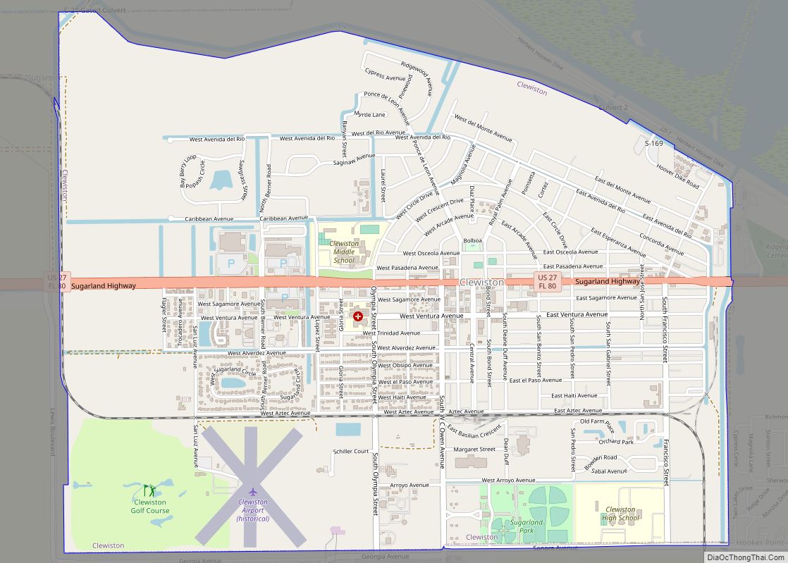
LaBelle Road Map
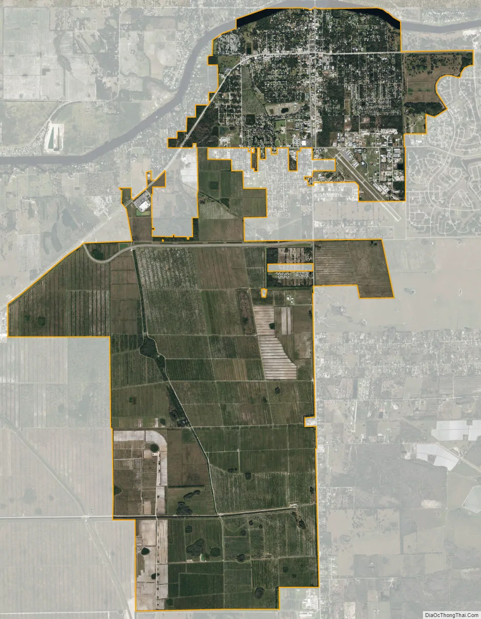
LaBelle city Satellite Map
Geography
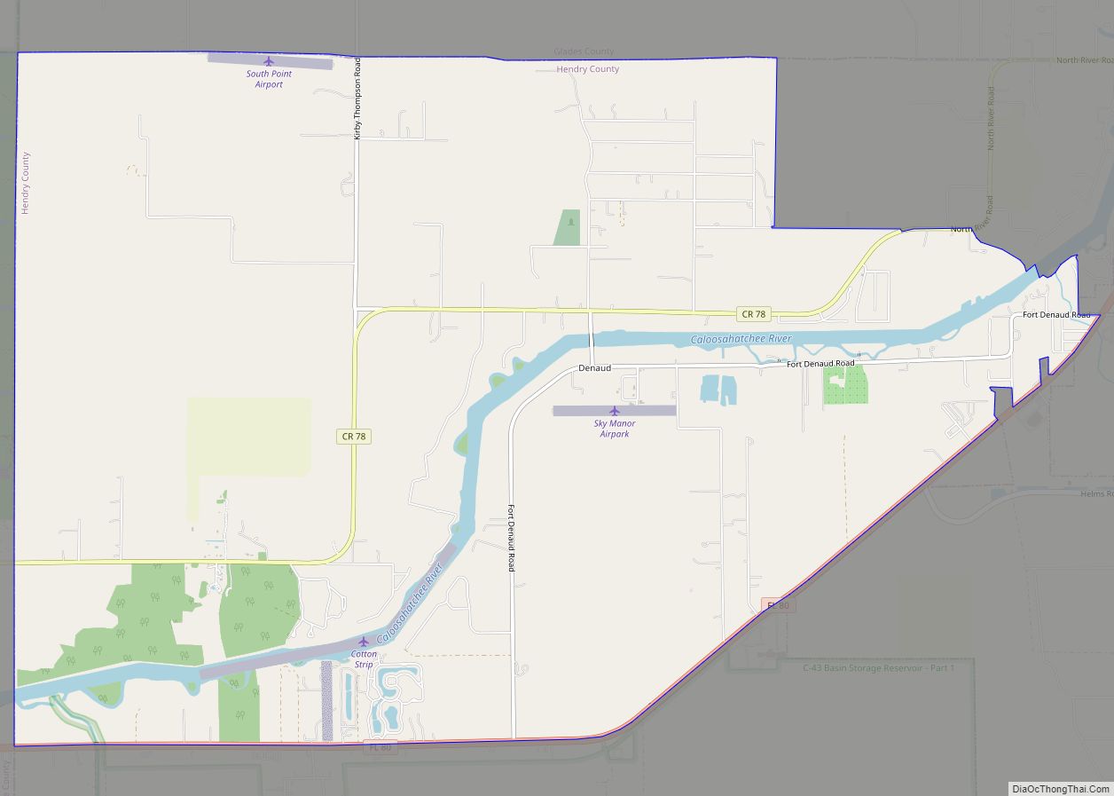
LaBelle is located in northwestern Hendry County at 26°45′38″N 81°26′21″W / 26.76056°N 81.43917°W / 26.76056; -81.43917 (26.760591, –81.439104), on the south side of the Caloosahatchee River.
Florida State Road 80 passes through the center of LaBelle, leading east 31 miles (50 km) to Clewiston and west 30 miles (48 km) to Fort Myers. Florida State Road 29 crosses SR 80 in the center of LaBelle and leads northeast 15 miles (24 km) to Palmdale and south 24 miles (39 km) to Immokalee.
According to the United States Census Bureau, LaBelle has a total area of 15.6 square miles (40.4 km), of which 15.5 square miles (40.2 km) are land and 0.1 square miles (0.2 km), or 0.60%, are water.
See also
Map of Florida State and its subdivision:- Alachua
- Baker
- Bay
- Bradford
- Brevard
- Broward
- Calhoun
- Charlotte
- Citrus
- Clay
- Collier
- Columbia
- Desoto
- Dixie
- Duval
- Escambia
- Flagler
- Franklin
- Gadsden
- Gilchrist
- Glades
- Gulf
- Hamilton
- Hardee
- Hendry
- Hernando
- Highlands
- Hillsborough
- Holmes
- Indian River
- Jackson
- Jefferson
- Lafayette
- Lake
- Lee
- Leon
- Levy
- Liberty
- Madison
- Manatee
- Marion
- Martin
- Miami-Dade
- Monroe
- Nassau
- Okaloosa
- Okeechobee
- Orange
- Osceola
- Palm Beach
- Pasco
- Pinellas
- Polk
- Putnam
- Saint Johns
- Saint Lucie
- Santa Rosa
- Sarasota
- Seminole
- Sumter
- Suwannee
- Taylor
- Union
- Volusia
- Wakulla
- Walton
- Washington
- Alabama
- Alaska
- Arizona
- Arkansas
- California
- Colorado
- Connecticut
- Delaware
- District of Columbia
- Florida
- Georgia
- Hawaii
- Idaho
- Illinois
- Indiana
- Iowa
- Kansas
- Kentucky
- Louisiana
- Maine
- Maryland
- Massachusetts
- Michigan
- Minnesota
- Mississippi
- Missouri
- Montana
- Nebraska
- Nevada
- New Hampshire
- New Jersey
- New Mexico
- New York
- North Carolina
- North Dakota
- Ohio
- Oklahoma
- Oregon
- Pennsylvania
- Rhode Island
- South Carolina
- South Dakota
- Tennessee
- Texas
- Utah
- Vermont
- Virginia
- Washington
- West Virginia
- Wisconsin
- Wyoming