Fruitland Park is a city in Lake County, Florida, United States. The population was 4,078 at the 2010 census. The Census Bureau estimated the population in 2018 to be 10,122. It is part of the Orlando–Kissimmee–Sanford Metropolitan Statistical Area.
| Name: | Fruitland Park city |
|---|---|
| LSAD Code: | 25 |
| LSAD Description: | city (suffix) |
| State: | Florida |
| County: | Lake County |
| Elevation: | 66 ft (20 m) |
| Total Area: | 7.27 sq mi (18.82 km²) |
| Land Area: | 6.96 sq mi (18.03 km²) |
| Water Area: | 0.30 sq mi (0.79 km²) |
| Total Population: | 8,325 |
| Population Density: | 1,195.61/sq mi (461.63/km²) |
| ZIP code: | 34731 |
| Area code: | 352 |
| FIPS code: | 1224975 |
| GNISfeature ID: | 2403668 |
| Website: | www.fruitlandpark.org |
Online Interactive Map
Click on ![]() to view map in "full screen" mode.
to view map in "full screen" mode.
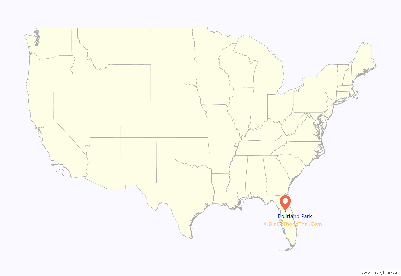
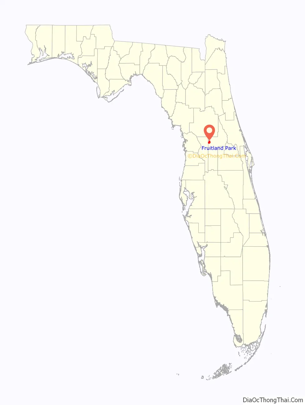
Fruitland Park location map. Where is Fruitland Park city?
History
Fruitland Park antedates the American Civil War, although the name of the town only came later, as it was originally called Gardenia. The earliest settler was M. Calvin Lee, of the Evander Lee family of Leesburg, who planted a citrus grove. After the war, a son-in-law of the Lee family, P.S. Bouknight, homesteaded 40 acres (160,000 m) near Mirror Lake.
In 1875, the State of Florida sent Captain Kendricks to the northern part of the United States to talk about the advantages of living in Florida. Due to Major Orlando P. Rooks’ poor health, and already considering a move, he had his wife, Josephine, moved to Fruitland Park. They built their first home on Crystal Lake in 1877. It was here that the first white child, Frederic, was born in 1882.
The Fruitland Nurseries of Augusta, Georgia, was owned by J. P. Berckmann, friend of Major Rook. Major Rook named the town Fruitland Park for the nurseries, and the main street Berckmann Street for this friend.
The postal authorities refused to recognize the name Fruitland Park as there was already a Fruitland in the state. At their request, the name was changed to Gardenia in 1884. The Florida Railroad, put through the town just prior to this, had listed the town as Fruitland Park in all their printed matter and refused to recognize the new name of Gardenia. Consequently, all freight and express had to be directed to Fruitland Park and all mail addressed to Gardenia. This caused a great deal of confusion, which lasted from 1884 to 1888, when a petition was sent to the postal authorities to have the name changed back to Fruitland Park. The petition was granted in 1888.
On December 20, 1884, Rev. G.W. Butler organized the first “community” church in Fruitland Park, it was called the Community Church a Methodist Episcopal church founded by the Illinois conference. The church had acquired lots on College Ave., between Fountain St. and Lime St. The church was built in 1886–1887. That building burned in 1934, but was rebuilt in 1935. That building was later sold to the United Pentecostal Church and still remains today.
Fruitland Park was granted a Charter by the state on May 25, 1927.
Today the city boasts churches, schools, and numerous businesses. It still calls itself “Hometown USA.”[1]
Fruitland Park is also home to the oldest Dirt Kart Track in America. The 1/8 mile clay oval kart track has hosted Saturday Night Dirt Kart Racing for Go Kart enthusiasts since opening in 1958.
Expansion of The Villages
On December 10, 2013, The Villages of Lake-Sumter Inc. closed on a deal to purchase property in Fruitland Park for $8 million from a private owner. Subsequently, they also began the annexation and rezoning process with the city. The property is currently the construction site for 2,038 new Villages homes, a project with final completion projected sometime in 2016. It was determined that the city of Fruitland Park stands to earn approximately $13 million in impact fees and building permits as a result of the expansion, not including ongoing tax revenues upon completion.
Fruitland Park Road Map

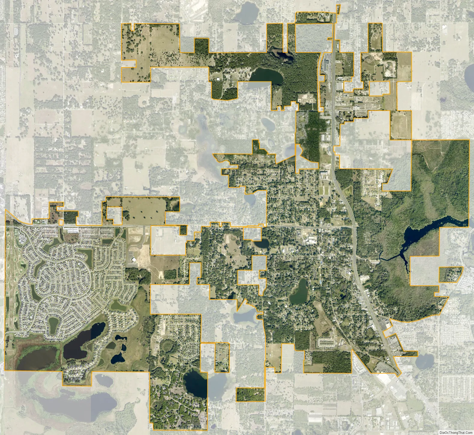
Fruitland Park city Satellite Map
Geography
Fruitland Park is located at 28°51′31″N 81°54′47″W / 28.858571°N 81.913114°W / 28.858571; -81.913114.
According to the United States Census Bureau, the city has a total area of 9.5 km (3.7 mi), of which 7.6 km (2.9 mi) is land and 1.9 km (0.8 mi) (20.44%) is water.
See also
Map of Florida State and its subdivision:- Alachua
- Baker
- Bay
- Bradford
- Brevard
- Broward
- Calhoun
- Charlotte
- Citrus
- Clay
- Collier
- Columbia
- Desoto
- Dixie
- Duval
- Escambia
- Flagler
- Franklin
- Gadsden
- Gilchrist
- Glades
- Gulf
- Hamilton
- Hardee
- Hendry
- Hernando
- Highlands
- Hillsborough
- Holmes
- Indian River
- Jackson
- Jefferson
- Lafayette
- Lake
- Lee
- Leon
- Levy
- Liberty
- Madison
- Manatee
- Marion
- Martin
- Miami-Dade
- Monroe
- Nassau
- Okaloosa
- Okeechobee
- Orange
- Osceola
- Palm Beach
- Pasco
- Pinellas
- Polk
- Putnam
- Saint Johns
- Saint Lucie
- Santa Rosa
- Sarasota
- Seminole
- Sumter
- Suwannee
- Taylor
- Union
- Volusia
- Wakulla
- Walton
- Washington
- Alabama
- Alaska
- Arizona
- Arkansas
- California
- Colorado
- Connecticut
- Delaware
- District of Columbia
- Florida
- Georgia
- Hawaii
- Idaho
- Illinois
- Indiana
- Iowa
- Kansas
- Kentucky
- Louisiana
- Maine
- Maryland
- Massachusetts
- Michigan
- Minnesota
- Mississippi
- Missouri
- Montana
- Nebraska
- Nevada
- New Hampshire
- New Jersey
- New Mexico
- New York
- North Carolina
- North Dakota
- Ohio
- Oklahoma
- Oregon
- Pennsylvania
- Rhode Island
- South Carolina
- South Dakota
- Tennessee
- Texas
- Utah
- Vermont
- Virginia
- Washington
- West Virginia
- Wisconsin
- Wyoming


