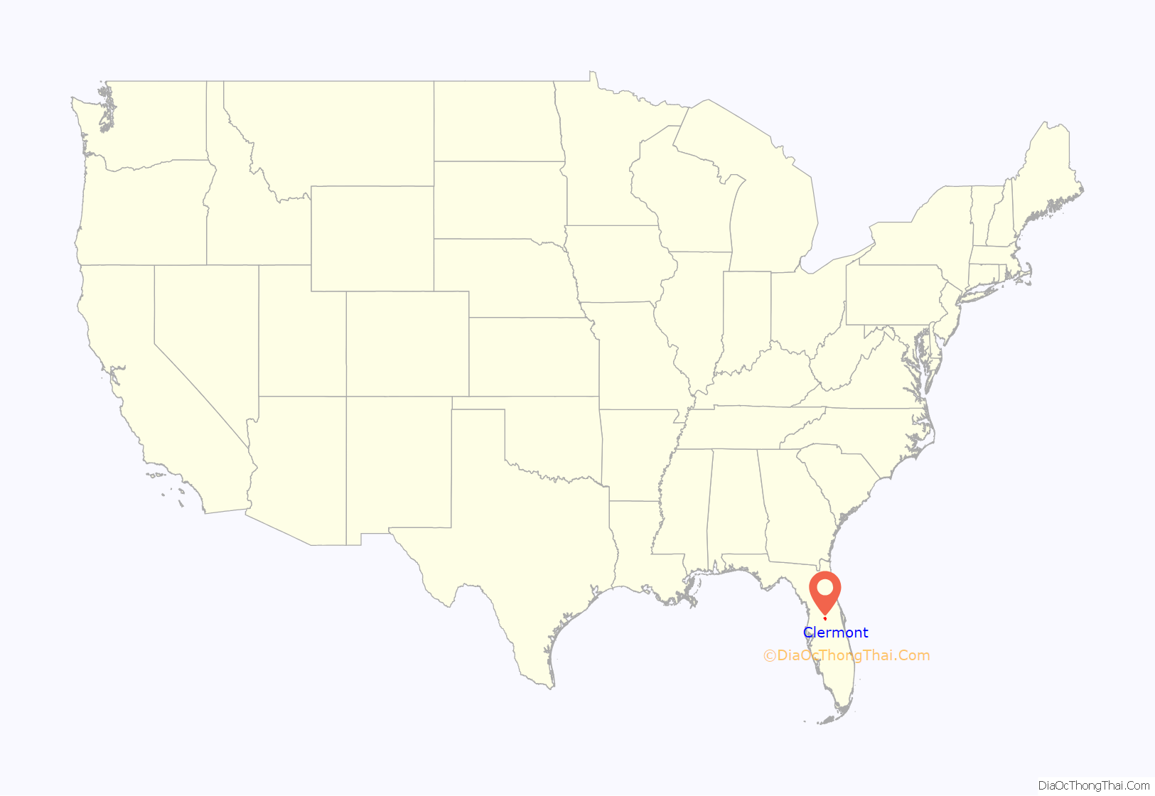
Clermont is a city in Lake County in central Florida, United States, about 22 miles (35 km) west of Orlando and 22 miles (35 km) southeast of Leesburg. The population was 43,021 in 2020. The city is residential in character and its economy is centered in retail trade, lodging, and tourism-oriented restaurants and bars. It is part of the Orlando–Kissimmee–Sanford Metropolitan Statistical Area.
Clermont is home to the 1956 Florida Citrus Tower, one of Florida’s early landmarks.
| Name: | Clermont city |
|---|---|
| LSAD Code: | 25 |
| LSAD Description: | city (suffix) |
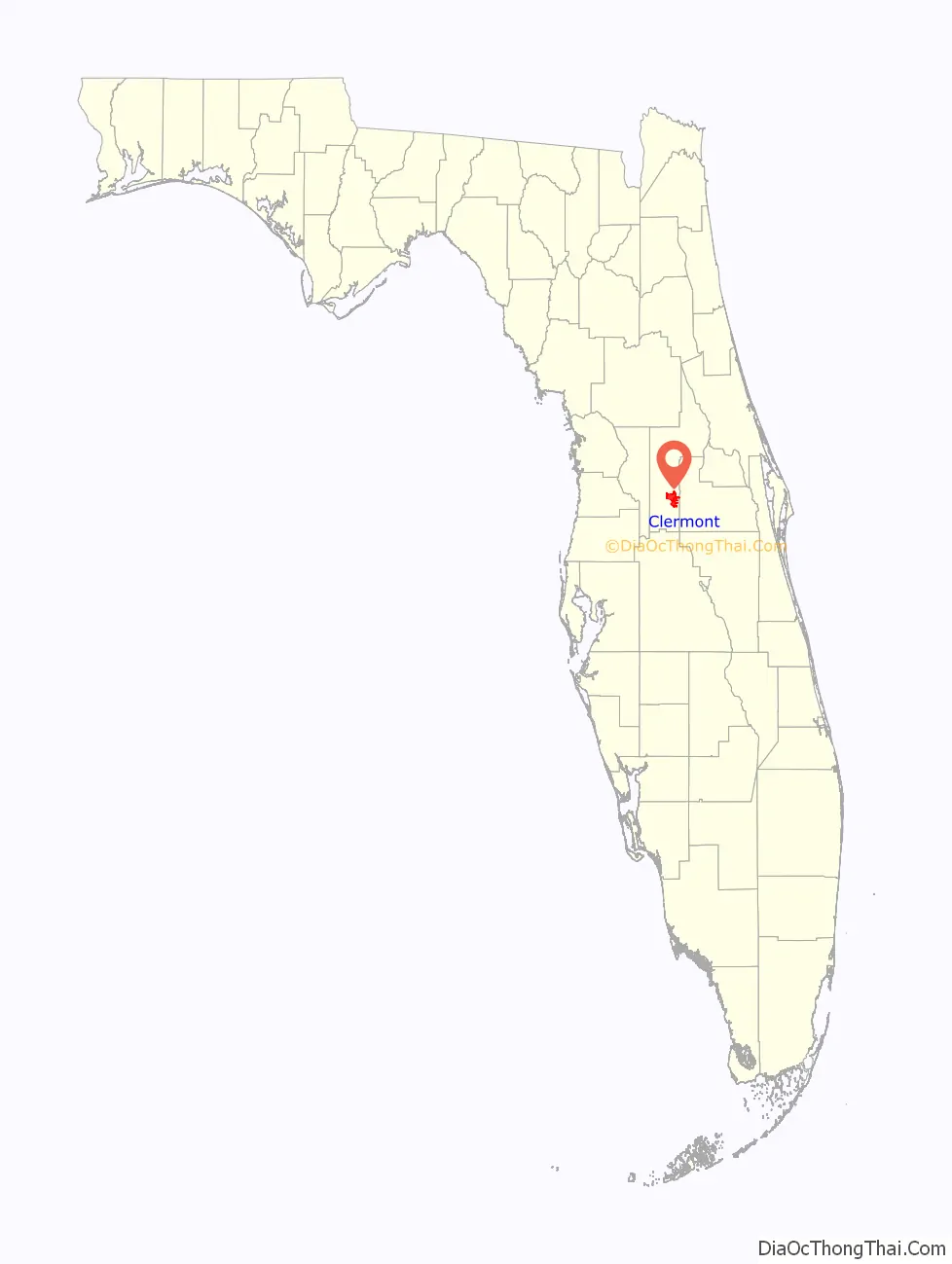
| State: | Florida |
| County: | Lake County |
| Elevation: | 141 ft (43 m) |
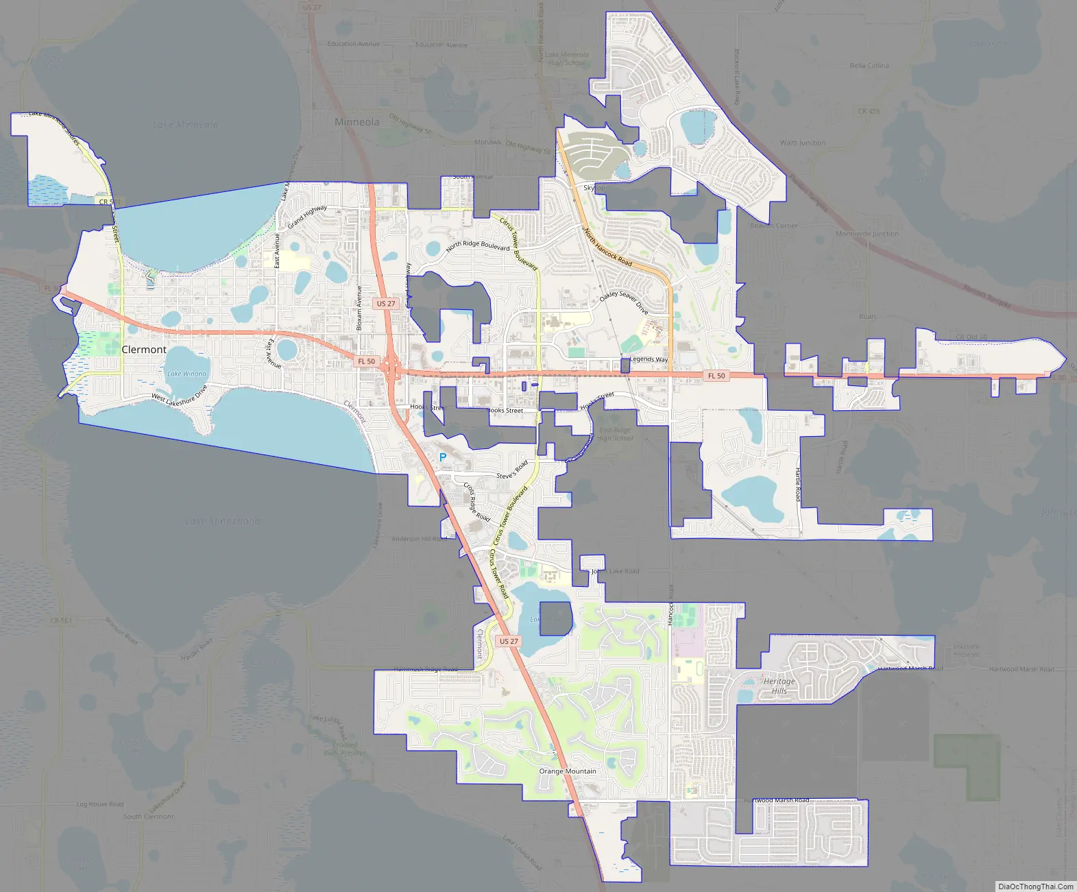
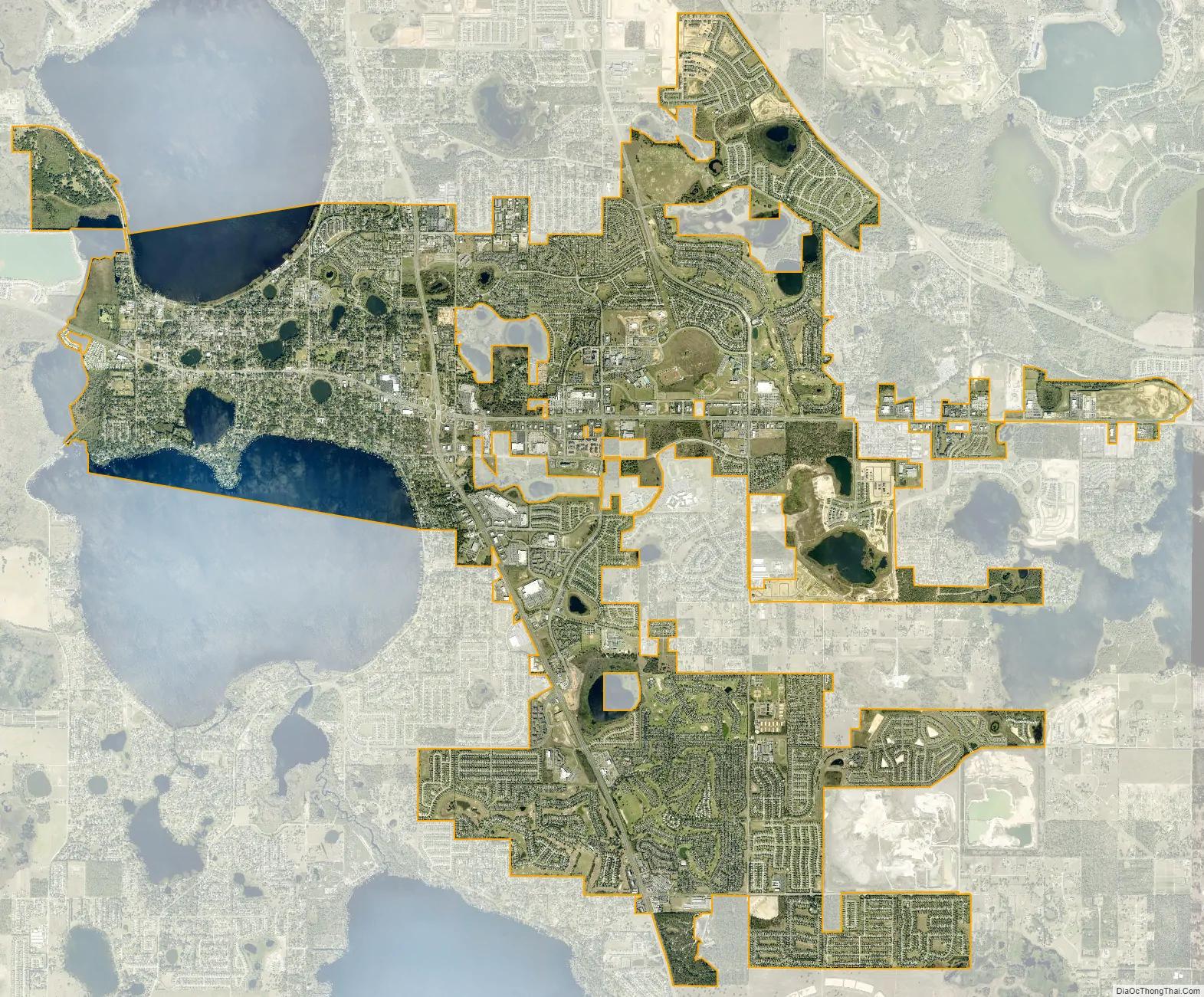
| Total Area: | 19.16 sq mi (49.61 km²) |
| Land Area: | 18.07 sq mi (46.79 km²) |
| Water Area: | 1.09 sq mi (2.82 km²) |
| Total Population: | 43,021 |
| Population Density: | 2,381.32/sq mi (919.45/km²) |
| ZIP code: | 34711-34715 |
| Area code: | 352 |
| FIPS code: | 1212925 |
| GNISfeature ID: | 0280563 |
| Website: | http://www.clermontfl.gov/ |
Online Interactive Map
Click on ![]() to view map in "full screen" mode.
to view map in "full screen" mode.
Clermont location map. Where is Clermont city?
History
Clermont was founded in 1884 and named for the French birthplace of A.F. Wrotnowski, manager of the Clermont Improvement Company, formed for land development. The city was incorporated in 1916. Much of the county initially was developed as orange and other citrus groves, which was the basis of the economy through the mid-20th century. For instance, Apshawa Groves owned and worked large expanses of land in the county. It later became a major real estate company. Tourism also became increasingly important.
The appearance of the historic downtown district has not changed much since 1962.
The population grew 207% from 2000 to 2010, with commensurate economic growth, attracting big box retail stores. In Spring 2010, the Clermont Landings shopping center opened, featuring 20 shops and restaurants and the city’s first cinema. Increased pollution from runoff and residential development has hurt the city’s lakes and other natural resources.
Clermont Road Map
Clermont city Satellite Map
Geography
According to the United States Census Bureau, the city has a total area of 11.5 square miles (30 km), of which 10.5 square miles (27 km) is land and 1.0 square mile (2.6 km) (8.54%) is water.
The Clermont area lies on the northern part of the Lake Wales Ridge. There are rolling hills atypical of the Florida peninsula. Nearby are the Clermont chain of lakes and Lake Apopka.
Climate
According to the Köppen climate classification, Clermont has a humid subtropical climate (Cfa).
See also
Map of Florida State and its subdivision:- Alachua
- Baker
- Bay
- Bradford
- Brevard
- Broward
- Calhoun
- Charlotte
- Citrus
- Clay
- Collier
- Columbia
- Desoto
- Dixie
- Duval
- Escambia
- Flagler
- Franklin
- Gadsden
- Gilchrist
- Glades
- Gulf
- Hamilton
- Hardee
- Hendry
- Hernando
- Highlands
- Hillsborough
- Holmes
- Indian River
- Jackson
- Jefferson
- Lafayette
- Lake
- Lee
- Leon
- Levy
- Liberty
- Madison
- Manatee
- Marion
- Martin
- Miami-Dade
- Monroe
- Nassau
- Okaloosa
- Okeechobee
- Orange
- Osceola
- Palm Beach
- Pasco
- Pinellas
- Polk
- Putnam
- Saint Johns
- Saint Lucie
- Santa Rosa
- Sarasota
- Seminole
- Sumter
- Suwannee
- Taylor
- Union
- Volusia
- Wakulla
- Walton
- Washington
- Alabama
- Alaska
- Arizona
- Arkansas
- California
- Colorado
- Connecticut
- Delaware
- District of Columbia
- Florida
- Georgia
- Hawaii
- Idaho
- Illinois
- Indiana
- Iowa
- Kansas
- Kentucky
- Louisiana
- Maine
- Maryland
- Massachusetts
- Michigan
- Minnesota
- Mississippi
- Missouri
- Montana
- Nebraska
- Nevada
- New Hampshire
- New Jersey
- New Mexico
- New York
- North Carolina
- North Dakota
- Ohio
- Oklahoma
- Oregon
- Pennsylvania
- Rhode Island
- South Carolina
- South Dakota
- Tennessee
- Texas
- Utah
- Vermont
- Virginia
- Washington
- West Virginia
- Wisconsin
- Wyoming


