Gibsonton, sometimes nicknamed Gibtown, is an unincorporated community and census-designated place in Hillsborough County, Florida, United States. U.S. Route 41 runs through the center of the community. The population was 14,234 at the 2010 census, up from 8,752 at the 2000 census.
Gibsonton was famous as a sideshow wintering town, where various people in the carnival and circus businesses would spend the off season, placing it near the winter home for the Ringling Brothers Circus at Tampa, Sarasota and Venice in various times. It was home to Percilla the Monkey Girl, the Anatomical Wonder, and the Lobster Boy. Siamese twin sisters ran a fruit stand here. At one time, it was the only post office with a counter for dwarfs. Aside from the agreeable winter climate, Gibsonton offered unique circus zoning laws that allowed residents to keep elephants and circus trailers on their front lawns.
Gibsonton was founded by James Gibson Sr., from Greenville, Alabama, in 1884. He homesteaded 150 acres at the mouth of the Alafia River, stretching to the east for approximately a half a mile along the south bank of the river. Gibson, along with Granville Platt and F.L. Henderson, became trustees of a school erected in 1888.
| Name: | Gibsonton CDP |
|---|---|
| LSAD Code: | 57 |
| LSAD Description: | CDP (suffix) |
| State: | Florida |
| County: | Hillsborough County |
| Elevation: | 7 ft (2 m) |
| Total Area: | 15.44 sq mi (40.00 km²) |
| Land Area: | 12.81 sq mi (33.19 km²) |
| Water Area: | 2.63 sq mi (6.81 km²) |
| Total Population: | 18,566 |
| Population Density: | 1,448.88/sq mi (559.42/km²) |
| ZIP code: | 33534 |
| Area code: | 813 |
| FIPS code: | 1225900 |
| GNISfeature ID: | 0283060 |
Online Interactive Map
Click on ![]() to view map in "full screen" mode.
to view map in "full screen" mode.
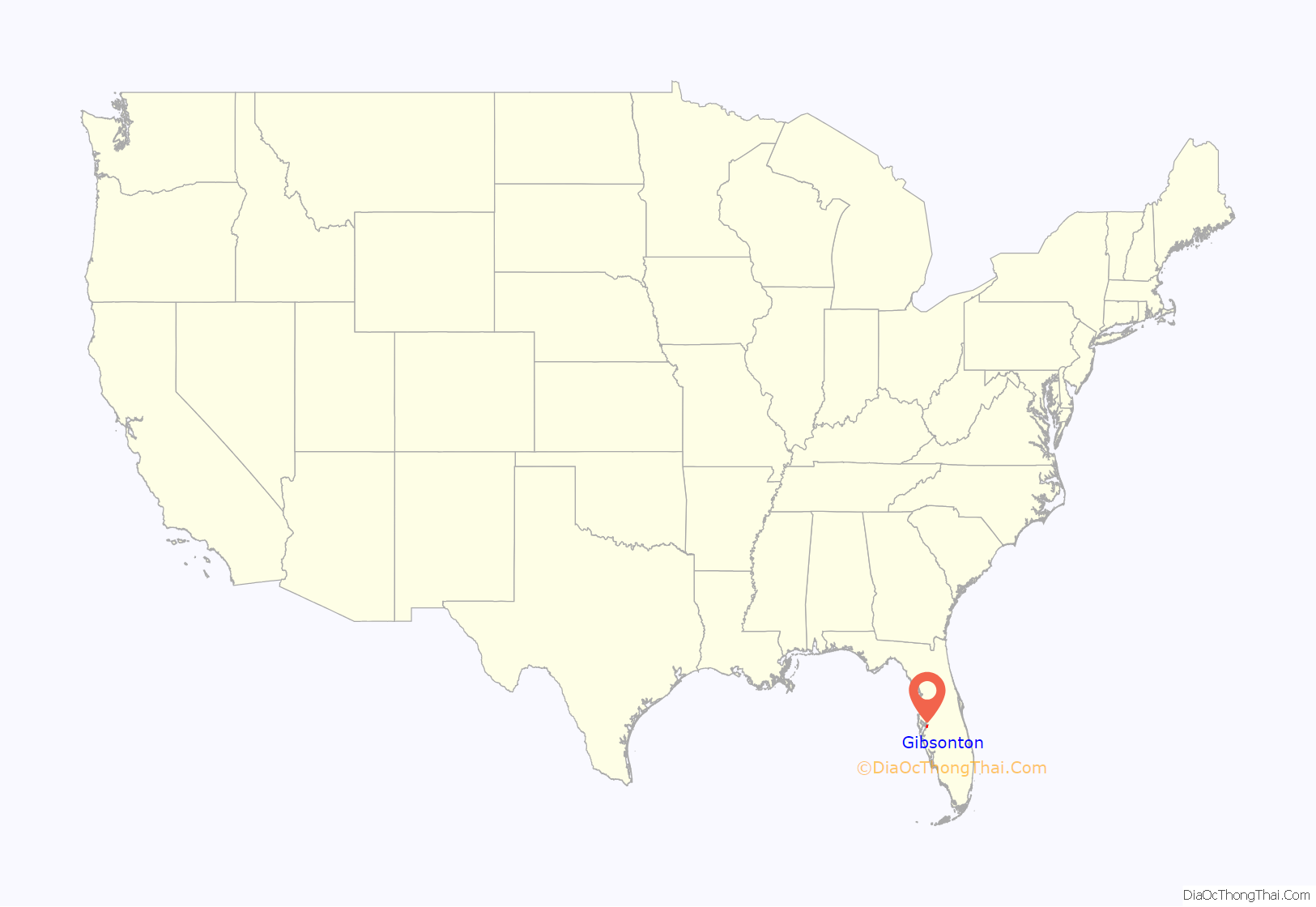
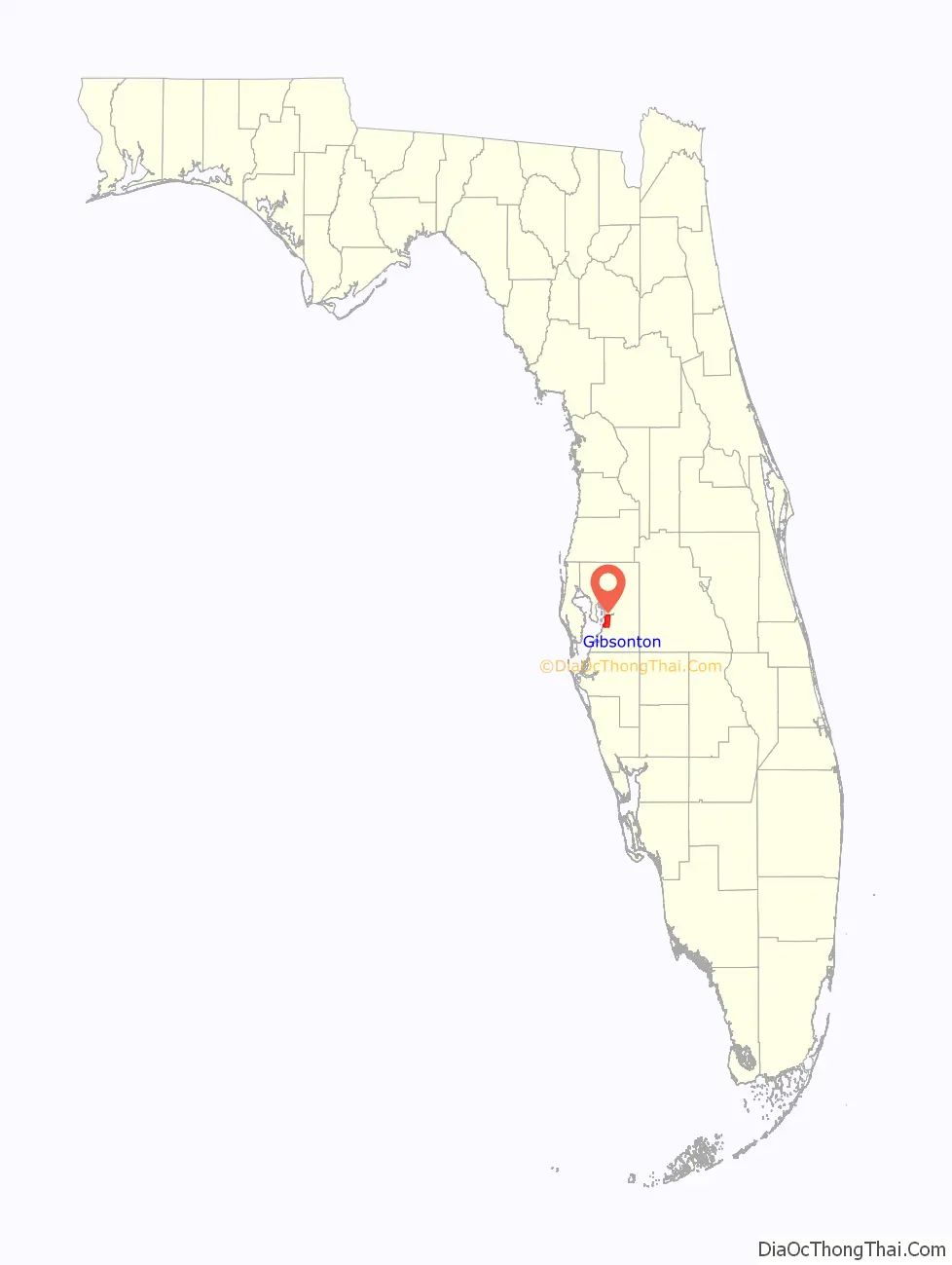
Gibsonton location map. Where is Gibsonton CDP?
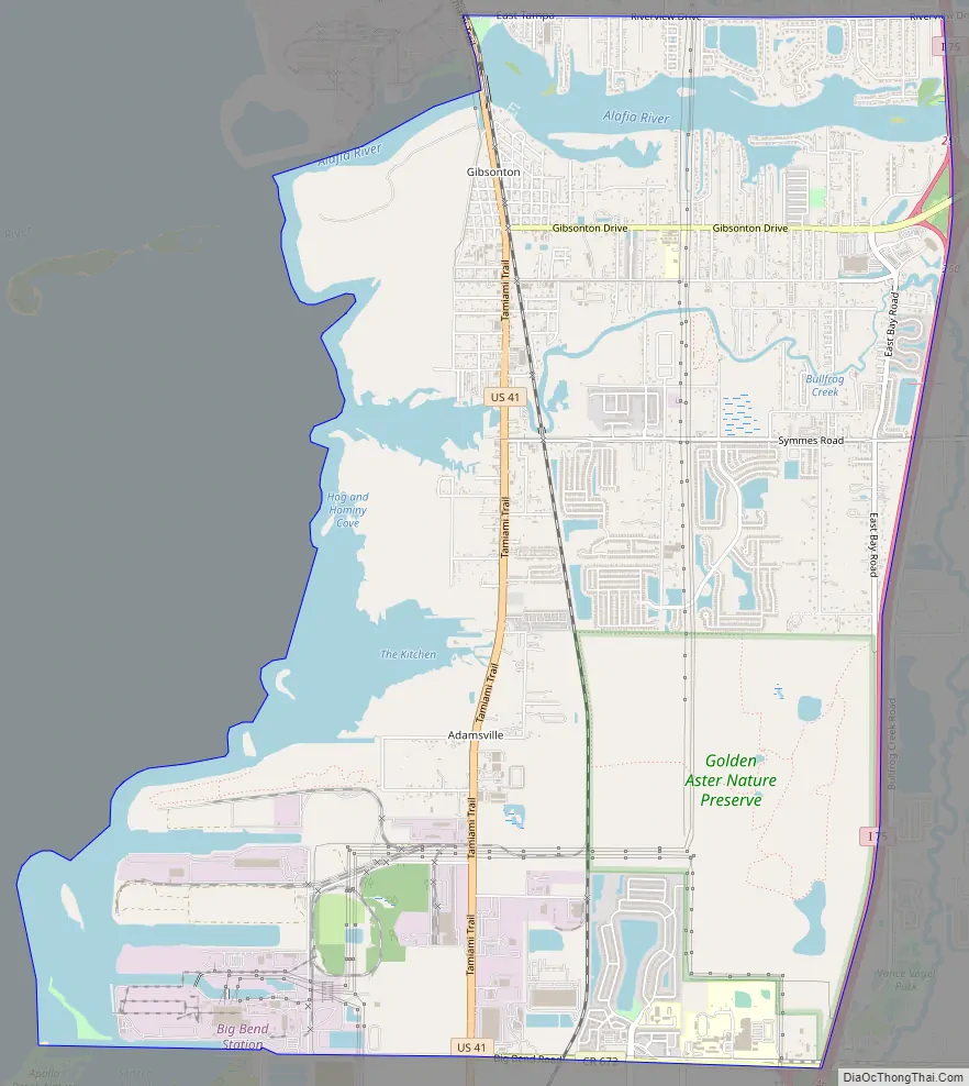
Gibsonton Road Map
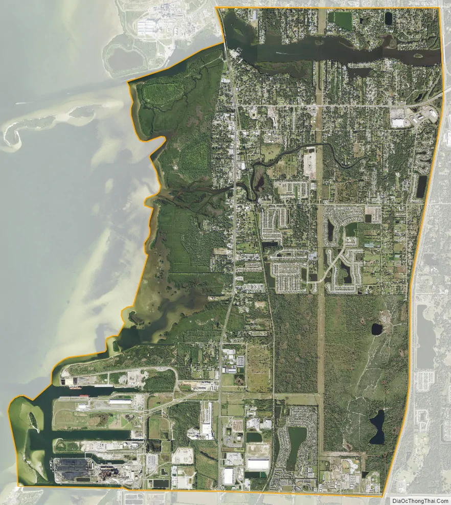
Gibsonton city Satellite Map
Geography
Gibsonton is located in south-central Hillsborough County at 27°50′16″N 82°22′27″W / 27.83778°N 82.37417°W / 27.83778; -82.37417 (27.837894, −82.374070). It is bordered to the north and the east by Riverview, to the south by Apollo Beach, and to the west by Hillsborough Bay. The unincorporated community of East Tampa is in the northern part of the CDP, north of the Alafia River, and Adamsville is in the southern part.
U.S. Route 41 runs through the center of Gibsonton, leading north 7 miles (11 km) to the east side of Tampa and south 30 miles (48 km) to Bradenton. Interstate 75 crosses the eastern part of Gibsonton, with access from Exits 246 and 250. I-75 leads north 6 miles (10 km) to the Brandon area and south 30 miles to Bradenton.
According to the United States Census Bureau, the Gibsonton CDP has a total area of 15.4 square miles (40.0 km), of which 12.8 square miles (33.1 km) are land and 2.6 square miles (6.8 km), or 17.10%, are water.
See also
Map of Florida State and its subdivision:- Alachua
- Baker
- Bay
- Bradford
- Brevard
- Broward
- Calhoun
- Charlotte
- Citrus
- Clay
- Collier
- Columbia
- Desoto
- Dixie
- Duval
- Escambia
- Flagler
- Franklin
- Gadsden
- Gilchrist
- Glades
- Gulf
- Hamilton
- Hardee
- Hendry
- Hernando
- Highlands
- Hillsborough
- Holmes
- Indian River
- Jackson
- Jefferson
- Lafayette
- Lake
- Lee
- Leon
- Levy
- Liberty
- Madison
- Manatee
- Marion
- Martin
- Miami-Dade
- Monroe
- Nassau
- Okaloosa
- Okeechobee
- Orange
- Osceola
- Palm Beach
- Pasco
- Pinellas
- Polk
- Putnam
- Saint Johns
- Saint Lucie
- Santa Rosa
- Sarasota
- Seminole
- Sumter
- Suwannee
- Taylor
- Union
- Volusia
- Wakulla
- Walton
- Washington
- Alabama
- Alaska
- Arizona
- Arkansas
- California
- Colorado
- Connecticut
- Delaware
- District of Columbia
- Florida
- Georgia
- Hawaii
- Idaho
- Illinois
- Indiana
- Iowa
- Kansas
- Kentucky
- Louisiana
- Maine
- Maryland
- Massachusetts
- Michigan
- Minnesota
- Mississippi
- Missouri
- Montana
- Nebraska
- Nevada
- New Hampshire
- New Jersey
- New Mexico
- New York
- North Carolina
- North Dakota
- Ohio
- Oklahoma
- Oregon
- Pennsylvania
- Rhode Island
- South Carolina
- South Dakota
- Tennessee
- Texas
- Utah
- Vermont
- Virginia
- Washington
- West Virginia
- Wisconsin
- Wyoming


