The Village of Golf is a village in Palm Beach County, Florida, United States. As of 2018, the population recorded by the U.S. Census Bureau was 275.
| Name: | Golf village |
|---|---|
| LSAD Code: | 47 |
| LSAD Description: | village (suffix) |
| State: | Florida |
| County: | Palm Beach County |
| Elevation: | 13 ft (4 m) |
| Total Area: | 0.83 sq mi (2.15 km²) |
| Land Area: | 0.82 sq mi (2.12 km²) |
| Water Area: | 0.01 sq mi (0.03 km²) |
| Total Population: | 255 |
| Population Density: | 310.98/sq mi (120.02/km²) |
| ZIP code: | 33436 |
| Area code: | 561 |
| FIPS code: | 1226550 |
| GNISfeature ID: | 0283160 |
| Website: | www.villageofgolf.org |
Online Interactive Map
Click on ![]() to view map in "full screen" mode.
to view map in "full screen" mode.
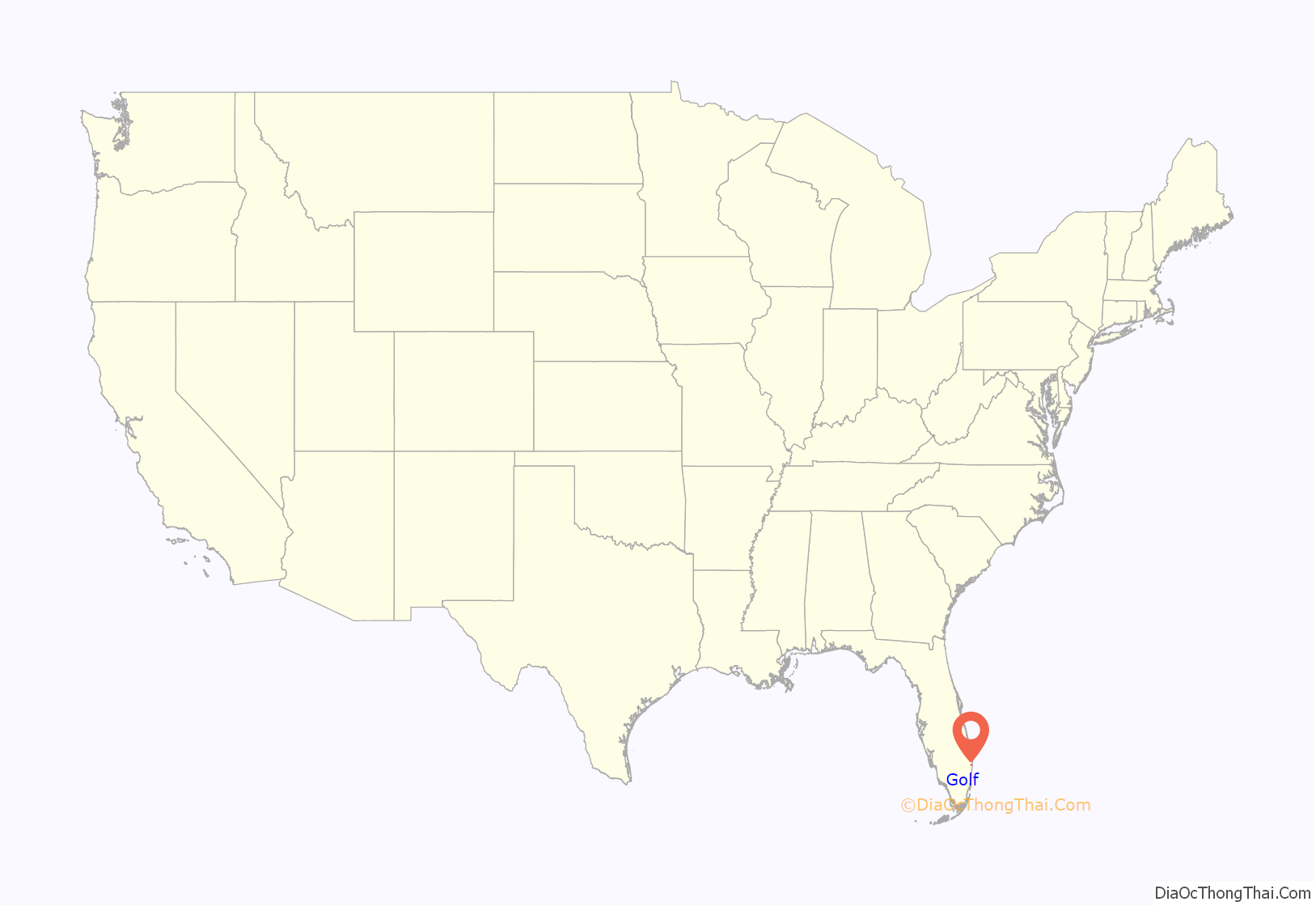
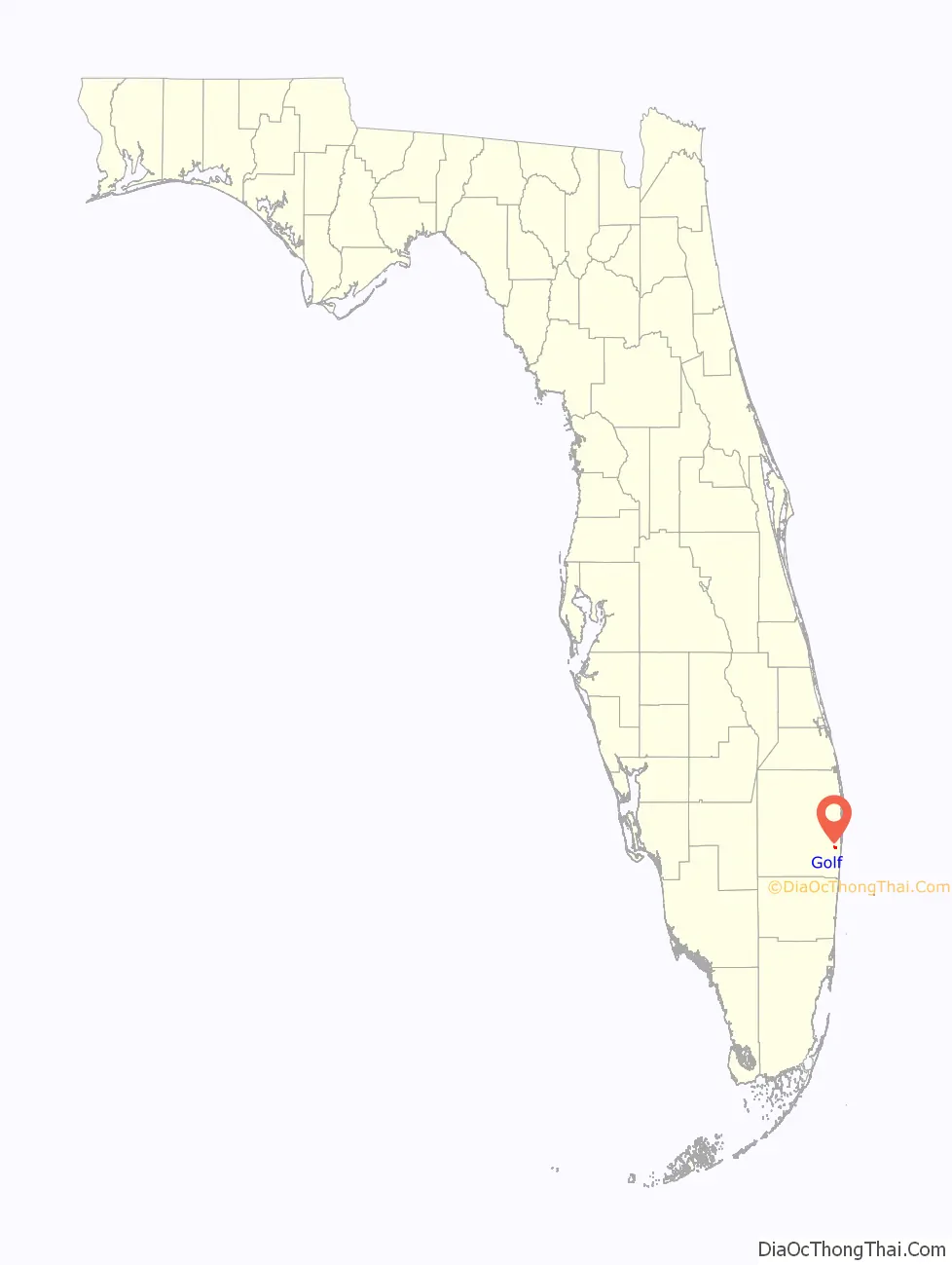
Golf location map. Where is Golf village?
History
Golf was founded in the 1950s as a planned community on a golf course. As some of the early settlers were originally from Golf, Illinois this was their preference for a name. The village was incorporated in 1957.
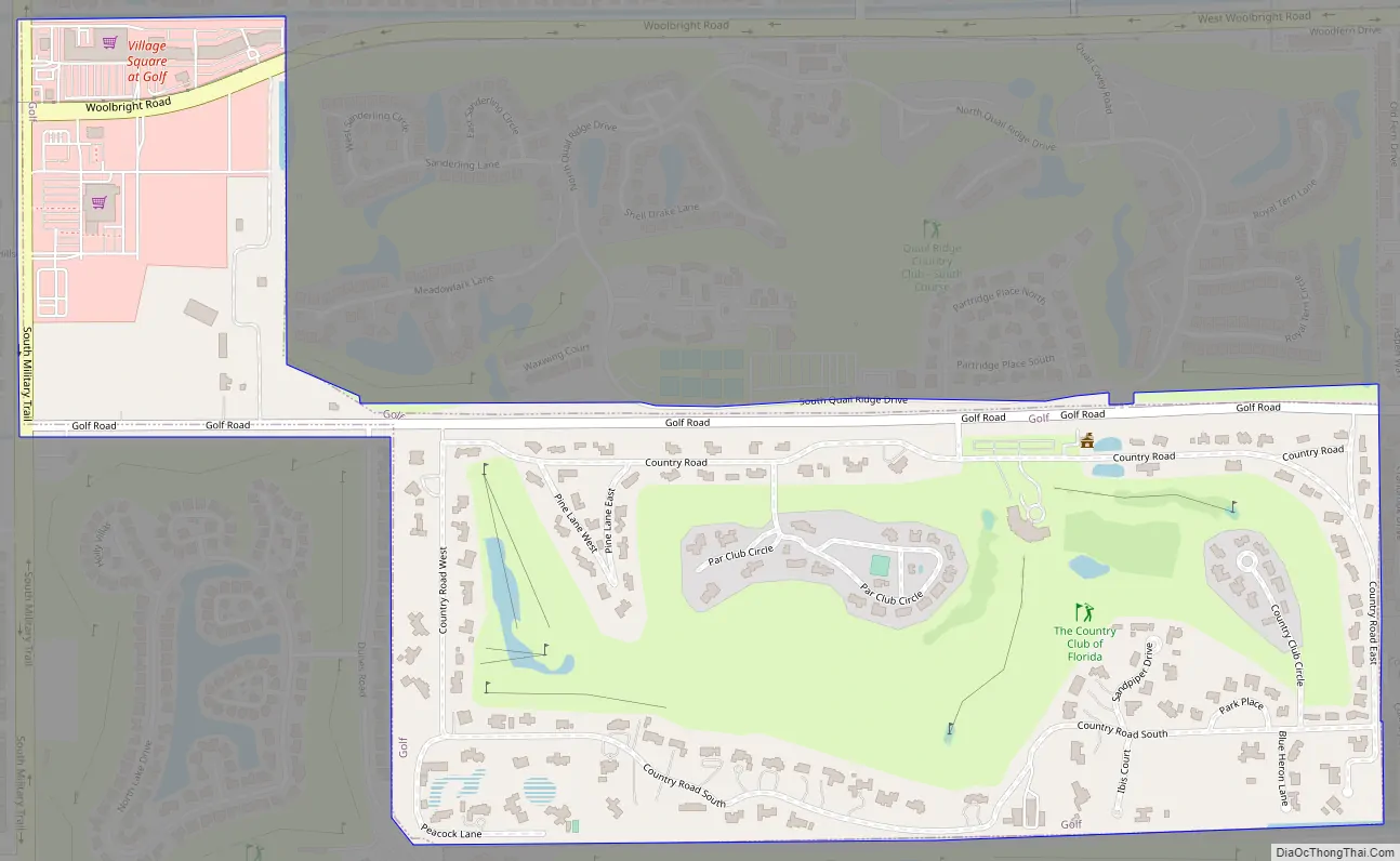
Golf Road Map
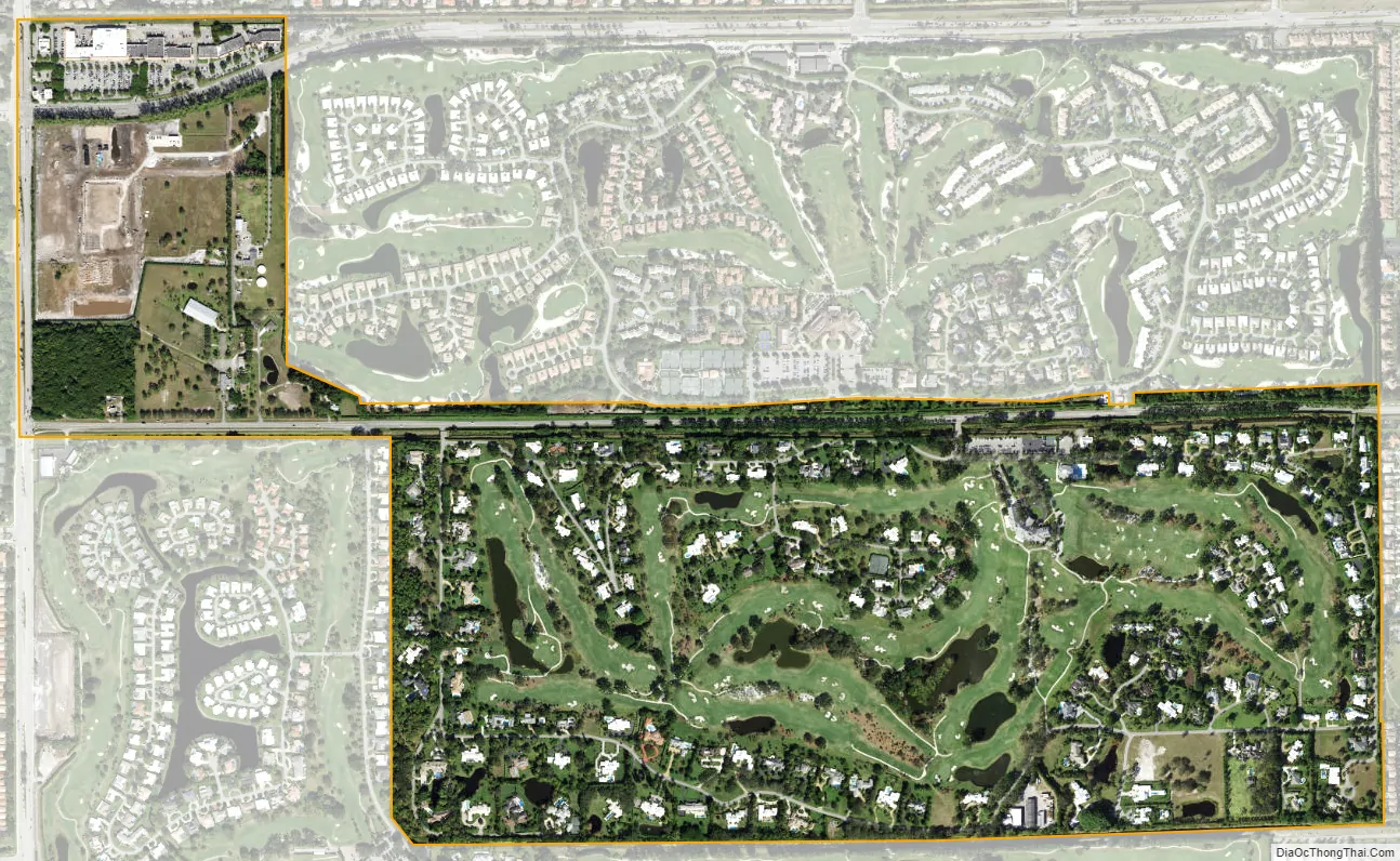
Golf city Satellite Map
Geography
Village of Golf is located at 26°30′15″N 80°6′17″W / 26.50417°N 80.10472°W / 26.50417; -80.10472 (26.504264, –80.104759).
According to the United States Census Bureau, the village has a total area of 0.8 square miles (2.1 km), of which 0.8 square miles (2.1 km) is land and 1.19% is water.
See also
Map of Florida State and its subdivision:- Alachua
- Baker
- Bay
- Bradford
- Brevard
- Broward
- Calhoun
- Charlotte
- Citrus
- Clay
- Collier
- Columbia
- Desoto
- Dixie
- Duval
- Escambia
- Flagler
- Franklin
- Gadsden
- Gilchrist
- Glades
- Gulf
- Hamilton
- Hardee
- Hendry
- Hernando
- Highlands
- Hillsborough
- Holmes
- Indian River
- Jackson
- Jefferson
- Lafayette
- Lake
- Lee
- Leon
- Levy
- Liberty
- Madison
- Manatee
- Marion
- Martin
- Miami-Dade
- Monroe
- Nassau
- Okaloosa
- Okeechobee
- Orange
- Osceola
- Palm Beach
- Pasco
- Pinellas
- Polk
- Putnam
- Saint Johns
- Saint Lucie
- Santa Rosa
- Sarasota
- Seminole
- Sumter
- Suwannee
- Taylor
- Union
- Volusia
- Wakulla
- Walton
- Washington
- Alabama
- Alaska
- Arizona
- Arkansas
- California
- Colorado
- Connecticut
- Delaware
- District of Columbia
- Florida
- Georgia
- Hawaii
- Idaho
- Illinois
- Indiana
- Iowa
- Kansas
- Kentucky
- Louisiana
- Maine
- Maryland
- Massachusetts
- Michigan
- Minnesota
- Mississippi
- Missouri
- Montana
- Nebraska
- Nevada
- New Hampshire
- New Jersey
- New Mexico
- New York
- North Carolina
- North Dakota
- Ohio
- Oklahoma
- Oregon
- Pennsylvania
- Rhode Island
- South Carolina
- South Dakota
- Tennessee
- Texas
- Utah
- Vermont
- Virginia
- Washington
- West Virginia
- Wisconsin
- Wyoming


