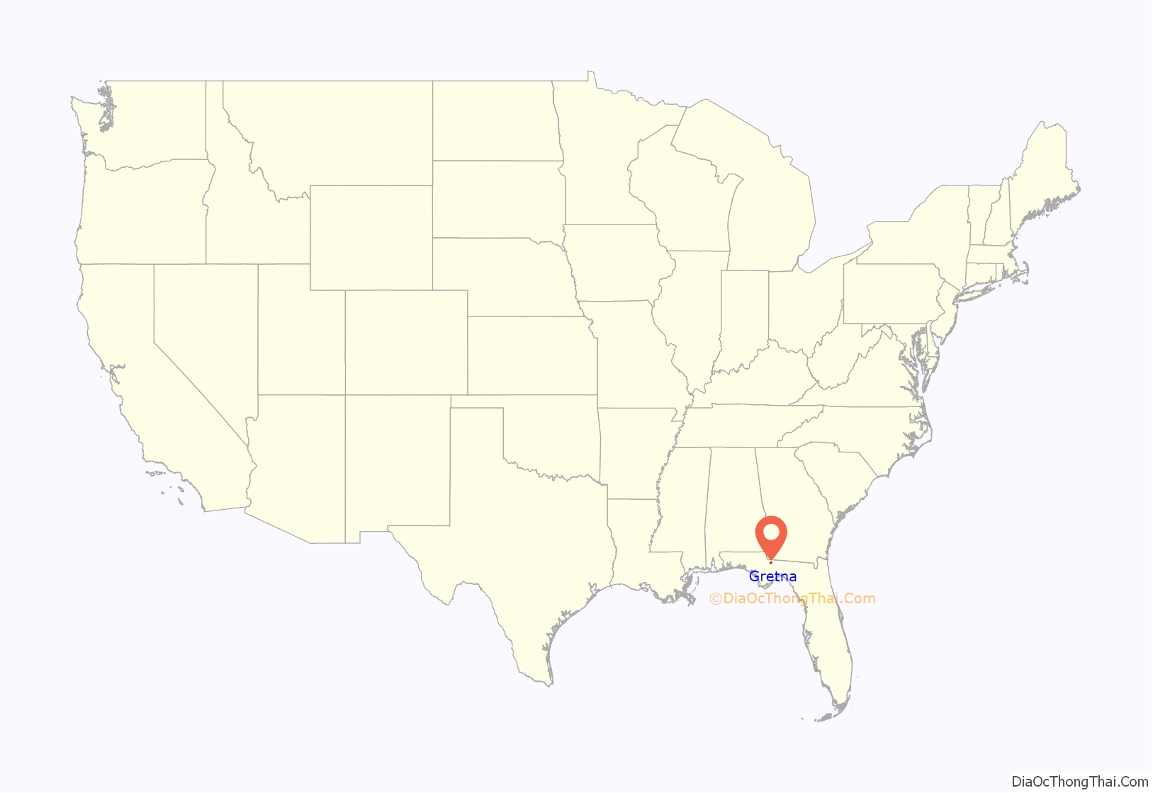
Gretna is a city in Gadsden County, Florida, United States. The population was 1,460 as of the 2010 census, down from 1,709 at the 2000 census. It is on U.S. 90 approximately 8 miles (13 km) south of the Florida-Georgia border.
Gretna is part of the Tallahassee, Florida Metropolitan Statistical Area.
| Name: | Gretna city |
|---|---|
| LSAD Code: | 25 |
| LSAD Description: | city (suffix) |
| State: | Florida |
| County: | Gadsden County |
| Elevation: | 299 ft (91 m) |
| Total Area: | 8.61 sq mi (22.30 km²) |
| Land Area: | 8.56 sq mi (22.17 km²) |
| Water Area: | 0.05 sq mi (0.12 km²) |
| Total Population: | 1,357 |
| Population Density: | 158.51/sq mi (61.20/km²) |
| ZIP code: | 32332 |
| Area code: | 850 |
| FIPS code: | 1227650 |
| GNISfeature ID: | 0294791 |
| Website: | mygretna.com |
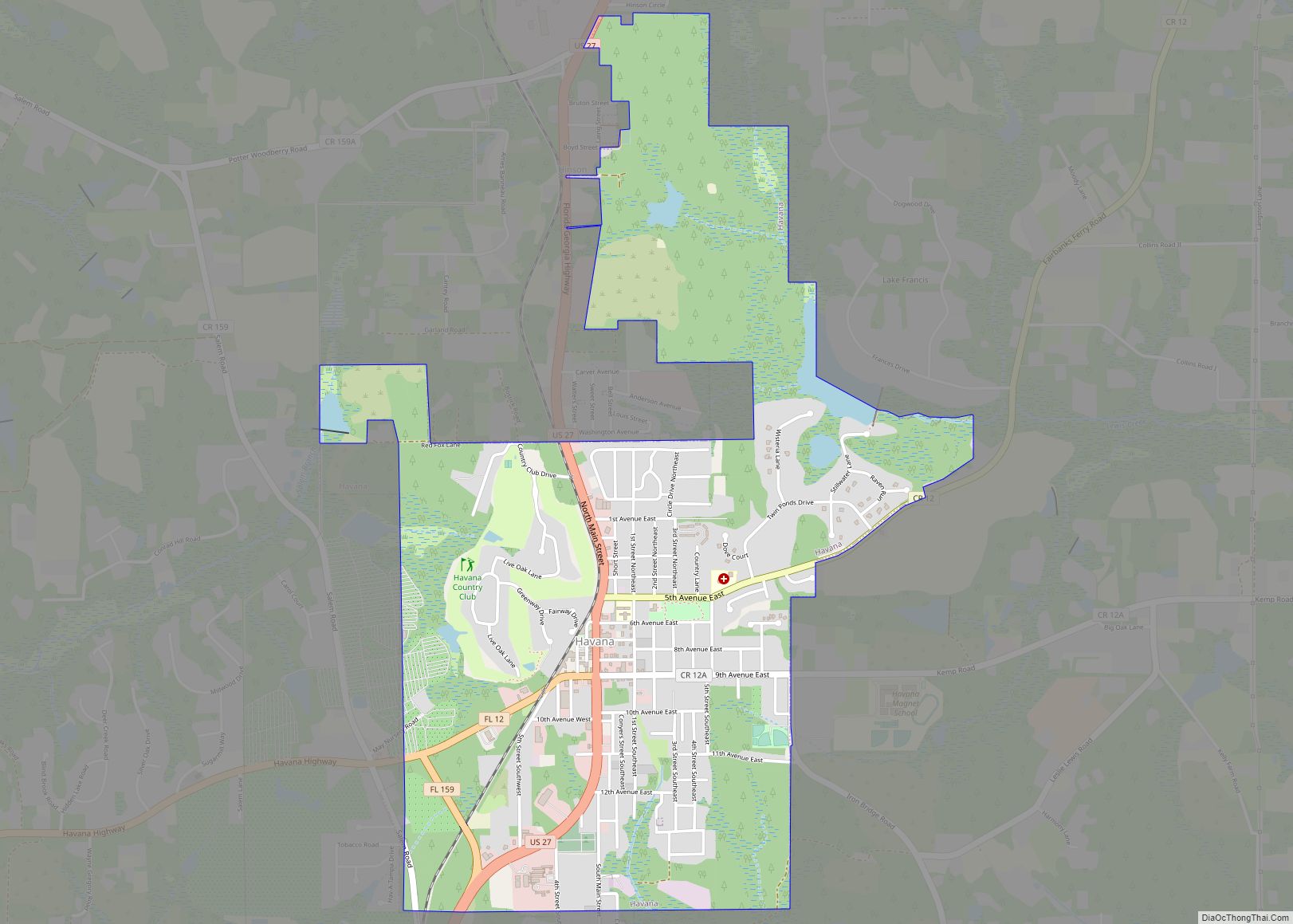
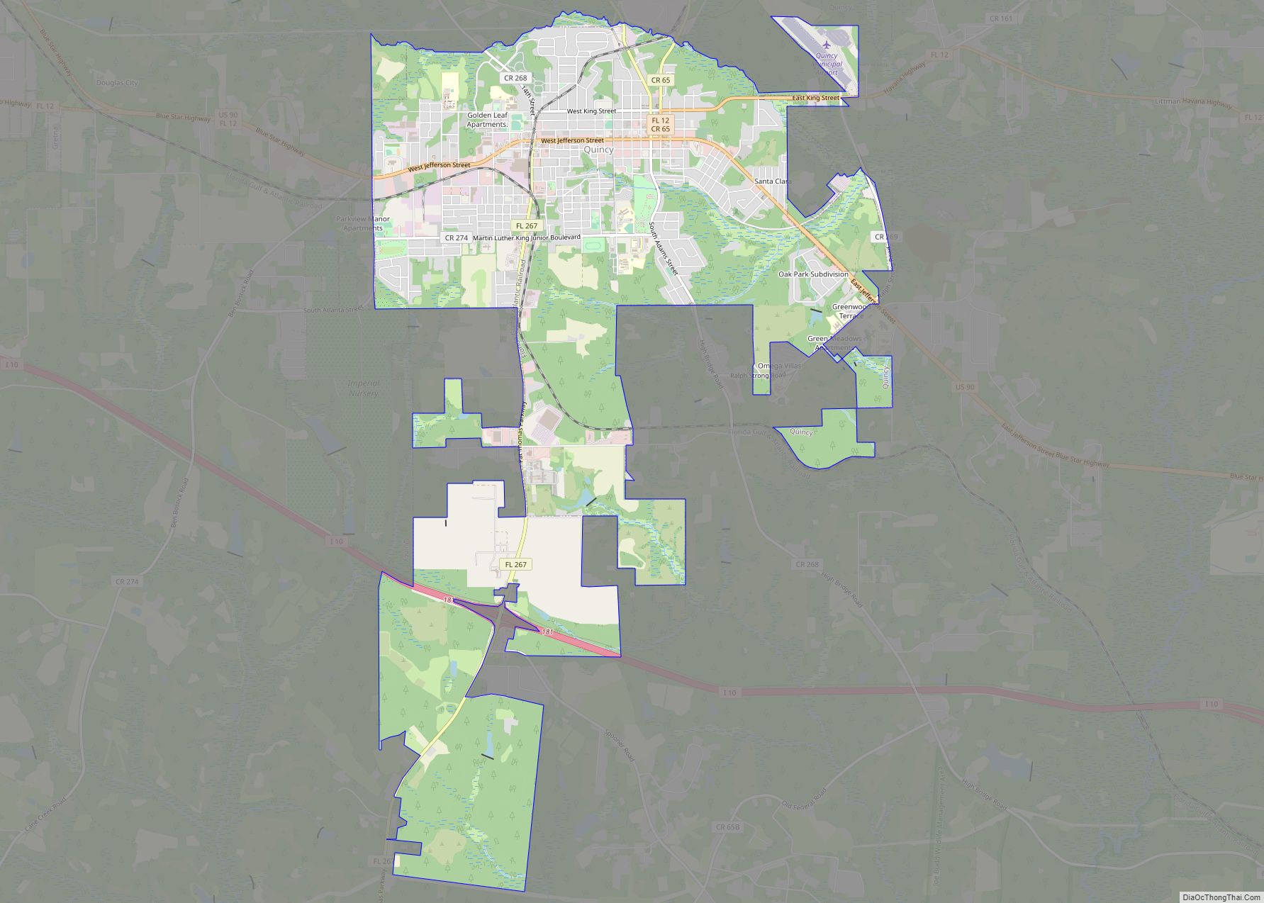
Online Interactive Map
Click on ![]() to view map in "full screen" mode.
to view map in "full screen" mode.
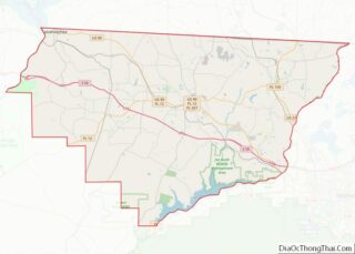
Gretna location map. Where is Gretna city?
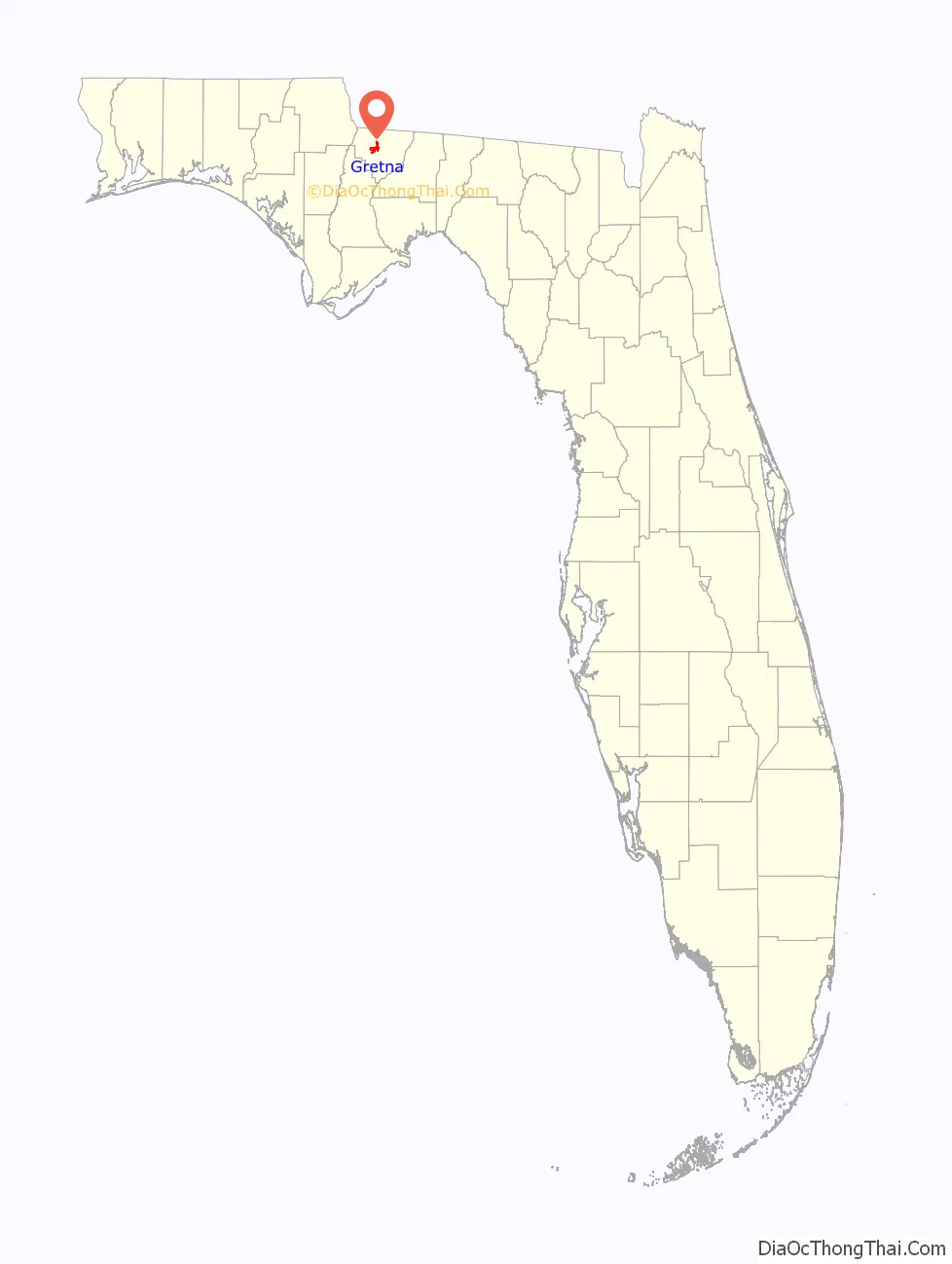
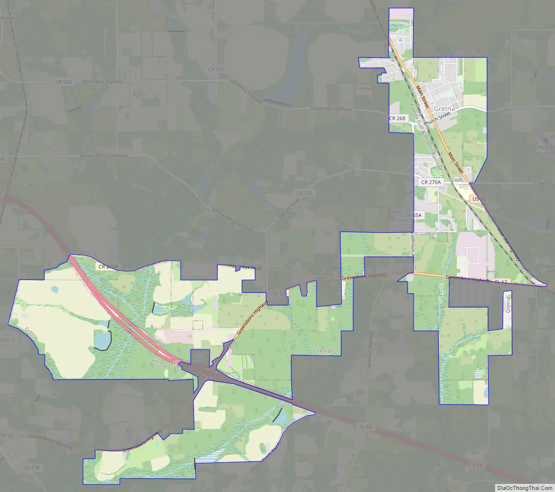
Gretna Road Map
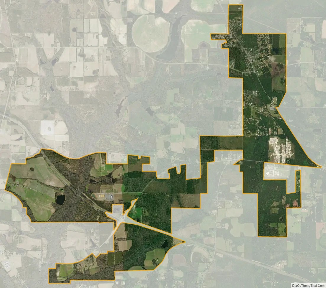
Gretna city Satellite Map
Geography
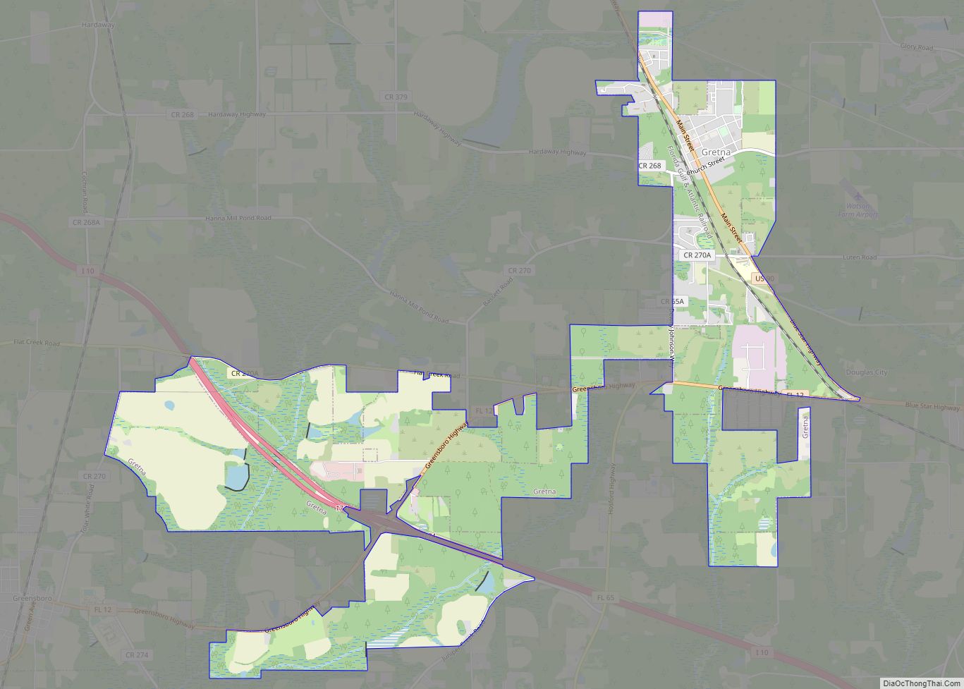
Gretna is in west-central Gadsden County at 30°36′56″N 84°39′45″W / 30.61556°N 84.66250°W / 30.61556; -84.66250 (30.615598, –84.662457). The city limits have expanded south and west 5 miles (8 km) to encompass part of Interstate 10; the city is now bordered on the south by Greensboro.
U.S. Route 90 passes through Gretna as Main Street; it leads southeast 5 miles (8 km) to Quincy, the Gadsden County seat, and northwest 14 miles (23 km) to Chattahoochee. Interstate 10 passes through the southwest part of Gretna, with access from Exit 174 (Florida State Road 12). I-10 leads east 28 miles (45 km) to Tallahassee and west 160 miles (260 km) to Pensacola. SR 12 leads southwest 24 miles (39 km) to Bristol, and SR 65 leads south 17 miles (27 km) to Hosford.
According to the United States Census Bureau, the city of Gretna has a total area of 6.0 square miles (15.6 km), of which 0.01 square miles (0.02 km), or 0.13%, is water.
See also
Map of Florida State and its subdivision:- Alachua
- Baker
- Bay
- Bradford
- Brevard
- Broward
- Calhoun
- Charlotte
- Citrus
- Clay
- Collier
- Columbia
- Desoto
- Dixie
- Duval
- Escambia
- Flagler
- Franklin
- Gadsden
- Gilchrist
- Glades
- Gulf
- Hamilton
- Hardee
- Hendry
- Hernando
- Highlands
- Hillsborough
- Holmes
- Indian River
- Jackson
- Jefferson
- Lafayette
- Lake
- Lee
- Leon
- Levy
- Liberty
- Madison
- Manatee
- Marion
- Martin
- Miami-Dade
- Monroe
- Nassau
- Okaloosa
- Okeechobee
- Orange
- Osceola
- Palm Beach
- Pasco
- Pinellas
- Polk
- Putnam
- Saint Johns
- Saint Lucie
- Santa Rosa
- Sarasota
- Seminole
- Sumter
- Suwannee
- Taylor
- Union
- Volusia
- Wakulla
- Walton
- Washington
- Alabama
- Alaska
- Arizona
- Arkansas
- California
- Colorado
- Connecticut
- Delaware
- District of Columbia
- Florida
- Georgia
- Hawaii
- Idaho
- Illinois
- Indiana
- Iowa
- Kansas
- Kentucky
- Louisiana
- Maine
- Maryland
- Massachusetts
- Michigan
- Minnesota
- Mississippi
- Missouri
- Montana
- Nebraska
- Nevada
- New Hampshire
- New Jersey
- New Mexico
- New York
- North Carolina
- North Dakota
- Ohio
- Oklahoma
- Oregon
- Pennsylvania
- Rhode Island
- South Carolina
- South Dakota
- Tennessee
- Texas
- Utah
- Vermont
- Virginia
- Washington
- West Virginia
- Wisconsin
- Wyoming