Gulfport is a city in Pinellas County, Florida, United States, bordering St. Petersburg, South Pasadena, and Boca Ciega Bay. The population of Gulfport was 12,029 at the 2010 census. Gulfport is part of the Tampa–St. Petersburg–Clearwater metropolitan statistical area.
| Name: | Gulfport city |
|---|---|
| LSAD Code: | 25 |
| LSAD Description: | city (suffix) |
| State: | Florida |
| County: | Pinellas County |
| Incorporated: | October 12, 1910 |
| Elevation: | 16 ft (5 m) |
| Total Area: | 3.87 sq mi (10.02 km²) |
| Land Area: | 2.77 sq mi (7.16 km²) |
| Water Area: | 1.10 sq mi (2.86 km²) |
| Total Population: | 11,783 |
| Population Density: | 4,261.48/sq mi (1,645.41/km²) |
| ZIP code: | 33707, 33711, 33737 |
| Area code: | 727 |
| FIPS code: | 1228175 |
| GNISfeature ID: | 0283501 |
| Website: | www.mygulfport.us |
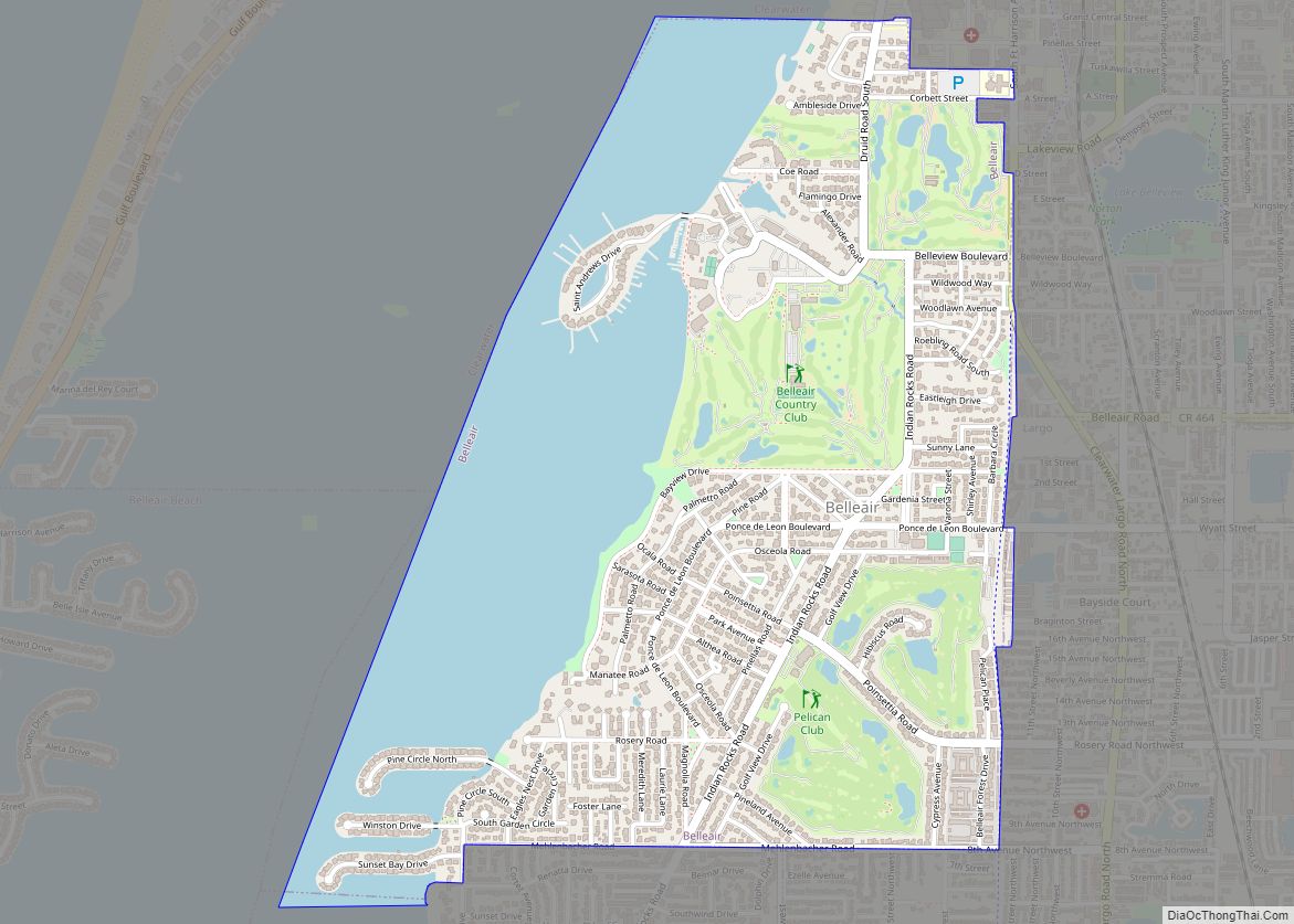
Online Interactive Map
Click on ![]() to view map in "full screen" mode.
to view map in "full screen" mode.
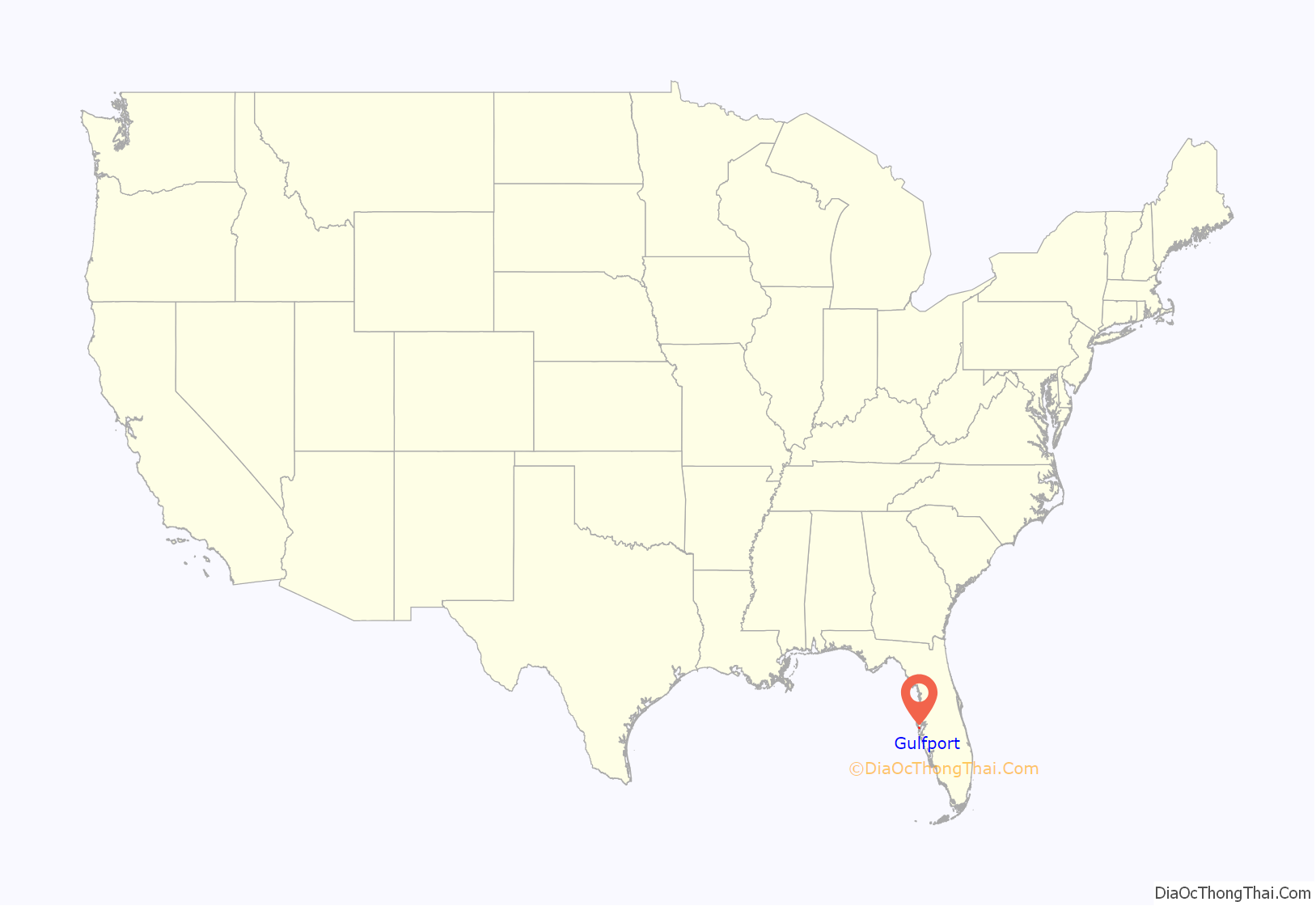
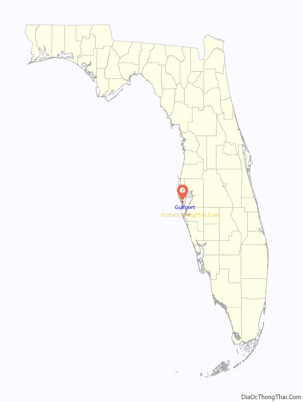
Gulfport location map. Where is Gulfport city?
History
Archaeological digs around Boca Ciega Bay indicate that settlements existed in the area circa 3000 to 8000 BC. The area was also densely populated during the Safety Harbor period. In 1528, the Spanish explorer Pánfilo de Narváez landed on the Pinellas peninsula, some say near present-day Gulfport, where he encountered the local Timucuan peoples.
Gulfport has been known by several names since its founding. The first settler in what would become Gulfport were James and Rebecca Barnett in 1868 and named the area Barnett’s Bluff. As other settlers trickled in and homesteaded the area, the settlement became known as Bonifacio around 1880. In 1884 Philadelphia financier Hamilton Disston envisioned a thriving port town that he called Disston City. However, the United States Postal Service would not recognize the name as it conflicted with a town in Hillsborough County, and the name Bonifacio was retained. Once that community folded in 1890, the Post Office allowed Bonifacio to be renamed as Disston City. In 1905, the town name was changed to Veteran City to reflect John Chase’s vision for a retirement community of Civil War veterans. On October 12, 1910 the name changed officially to Gulfport when it got incorporated at the Gulf Casino located on the dock of Electric Railroad Company.
On April 1, 1886, a man named W. J. McPherson, who had moved to Disston City from Deland the previous year, published The Sea Breeze, which was the first newspaper for the lower Pinellas Peninsula. With a population of about 150 people, Disston City was the largest settlement on the lower peninsula in the 1880s.
During the first two decades of the 20th century, there was a considerable leftist movement in Florida. This included Gulfport electing E. E. Wintersgill, a Socialist mayor, in 1910 and having four Socialists to one Democrat sitting on the town’s council.
Gulfport was a sundown town into the 1950s. An informal policy prohibited African Americans from staying within town limits after sundown.
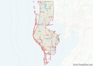
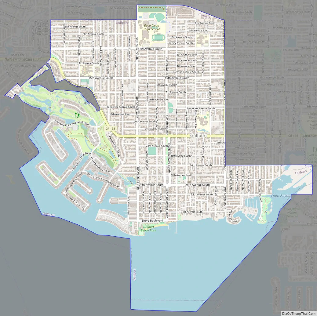
Gulfport Road Map
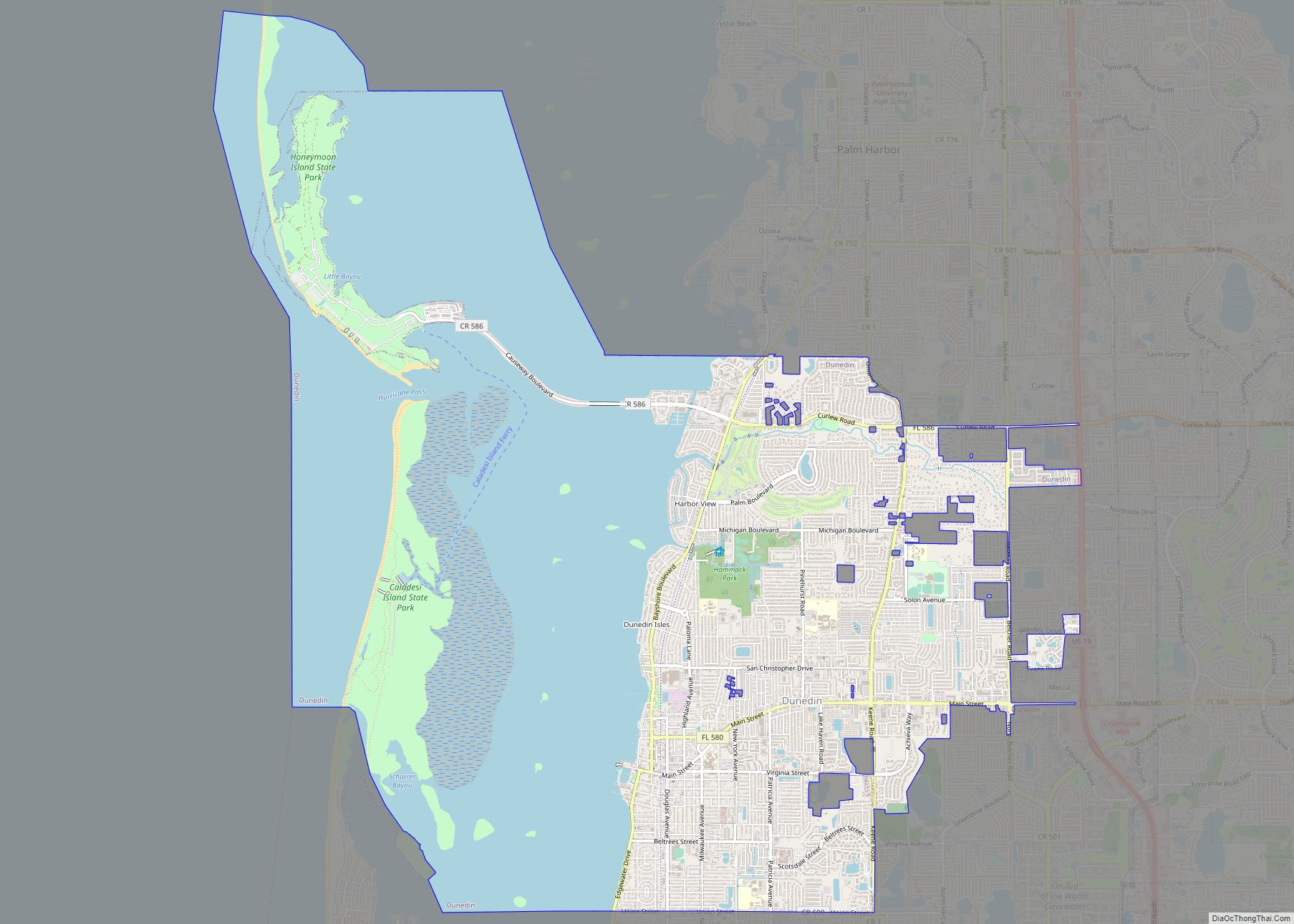
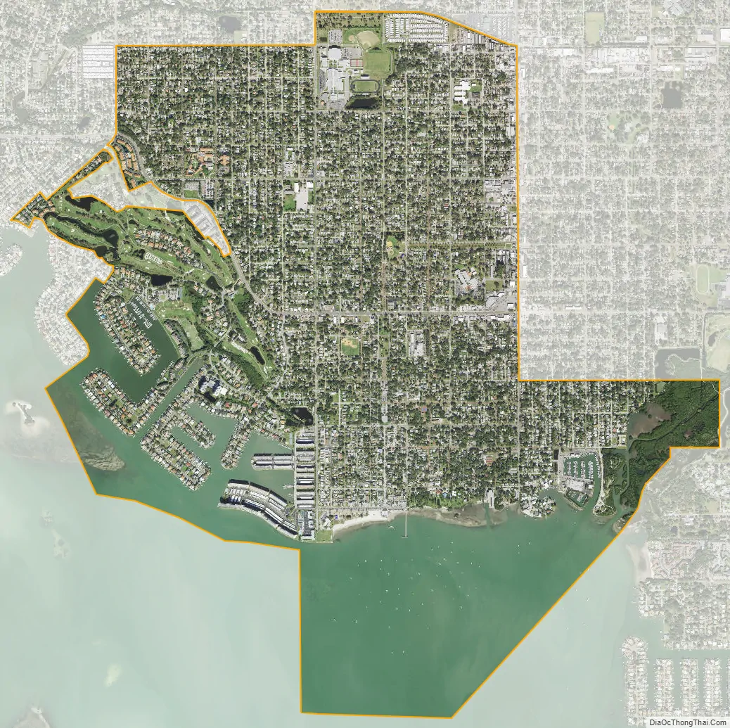
Gulfport city Satellite Map
Geography
According to the United States Census Bureau, the city has a total area of 3.8 square miles (9.8 km), of which 2.8 square miles (7.3 km) is land and 1.0 square mile (2.6 km) (26.30%) is water.
See also
Map of Florida State and its subdivision:- Alachua
- Baker
- Bay
- Bradford
- Brevard
- Broward
- Calhoun
- Charlotte
- Citrus
- Clay
- Collier
- Columbia
- Desoto
- Dixie
- Duval
- Escambia
- Flagler
- Franklin
- Gadsden
- Gilchrist
- Glades
- Gulf
- Hamilton
- Hardee
- Hendry
- Hernando
- Highlands
- Hillsborough
- Holmes
- Indian River
- Jackson
- Jefferson
- Lafayette
- Lake
- Lee
- Leon
- Levy
- Liberty
- Madison
- Manatee
- Marion
- Martin
- Miami-Dade
- Monroe
- Nassau
- Okaloosa
- Okeechobee
- Orange
- Osceola
- Palm Beach
- Pasco
- Pinellas
- Polk
- Putnam
- Saint Johns
- Saint Lucie
- Santa Rosa
- Sarasota
- Seminole
- Sumter
- Suwannee
- Taylor
- Union
- Volusia
- Wakulla
- Walton
- Washington
- Alabama
- Alaska
- Arizona
- Arkansas
- California
- Colorado
- Connecticut
- Delaware
- District of Columbia
- Florida
- Georgia
- Hawaii
- Idaho
- Illinois
- Indiana
- Iowa
- Kansas
- Kentucky
- Louisiana
- Maine
- Maryland
- Massachusetts
- Michigan
- Minnesota
- Mississippi
- Missouri
- Montana
- Nebraska
- Nevada
- New Hampshire
- New Jersey
- New Mexico
- New York
- North Carolina
- North Dakota
- Ohio
- Oklahoma
- Oregon
- Pennsylvania
- Rhode Island
- South Carolina
- South Dakota
- Tennessee
- Texas
- Utah
- Vermont
- Virginia
- Washington
- West Virginia
- Wisconsin
- Wyoming