South Pasadena is a city in southern Pinellas County, Florida, United States, near St. Pete Beach and Gulfport. The population was 5,353 at the 2020 census. Gulfport is part of the Tampa–St. Petersburg–Clearwater metropolitan statistical area.
| Name: | South Pasadena city |
|---|---|
| LSAD Code: | 25 |
| LSAD Description: | city (suffix) |
| State: | Florida |
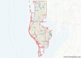
| County: | Pinellas County |
| Elevation: | 3 ft (1 m) |
| Total Area: | 1.19 sq mi (3.09 km²) |
| Land Area: | 0.61 sq mi (1.58 km²) |
| Water Area: | 0.58 sq mi (1.51 km²) |
| Total Population: | 5,353 |
| Population Density: | 8,775.41/sq mi (3,387.69/km²) |
| ZIP code: | 33707 |
| Area code: | 727 |
| FIPS code: | 1267675 |
| GNISfeature ID: | 0291402 |
| Website: | mysouthpasadena.com |
Online Interactive Map
Click on ![]() to view map in "full screen" mode.
to view map in "full screen" mode.
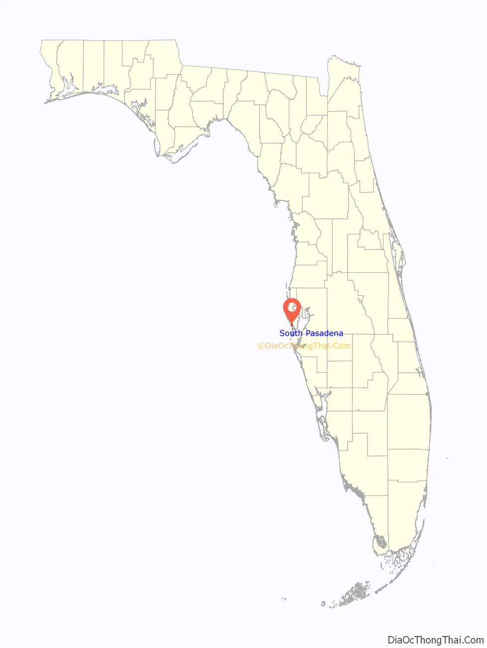
South Pasadena location map. Where is South Pasadena city?

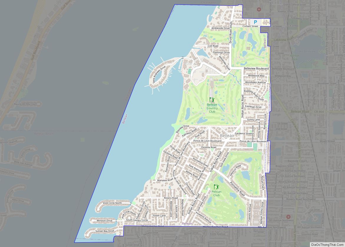
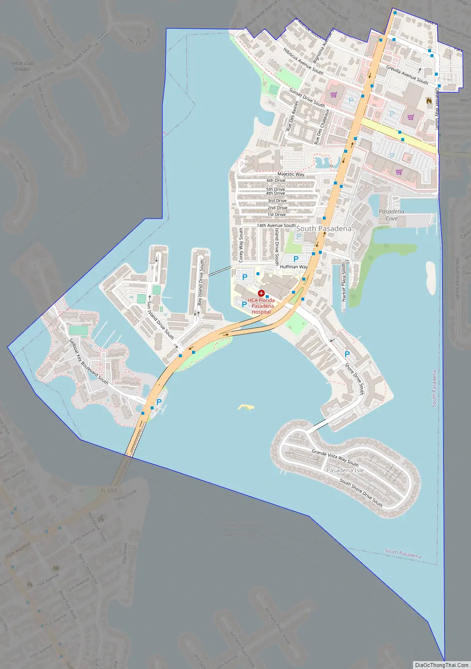
South Pasadena Road Map
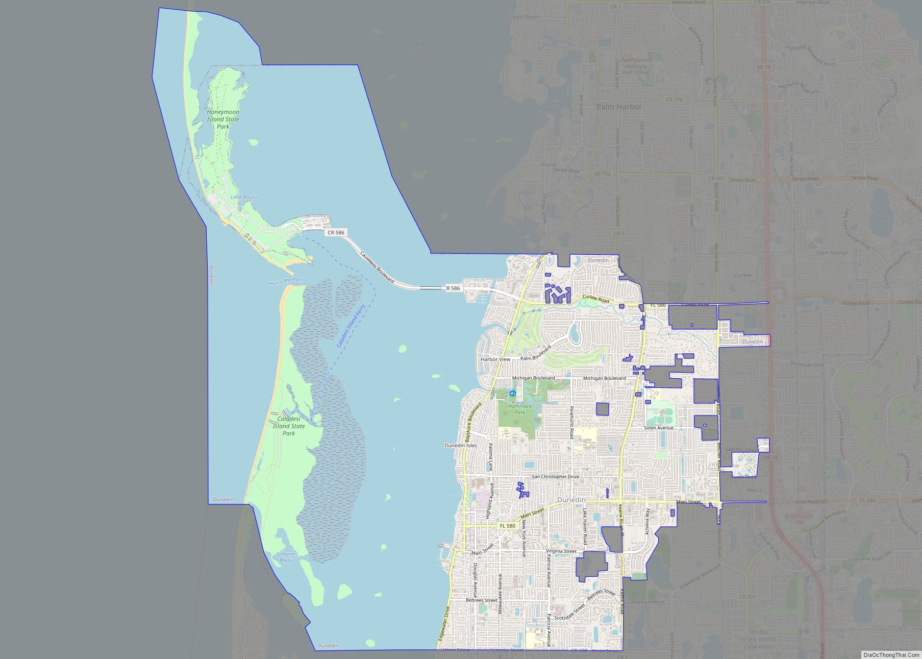
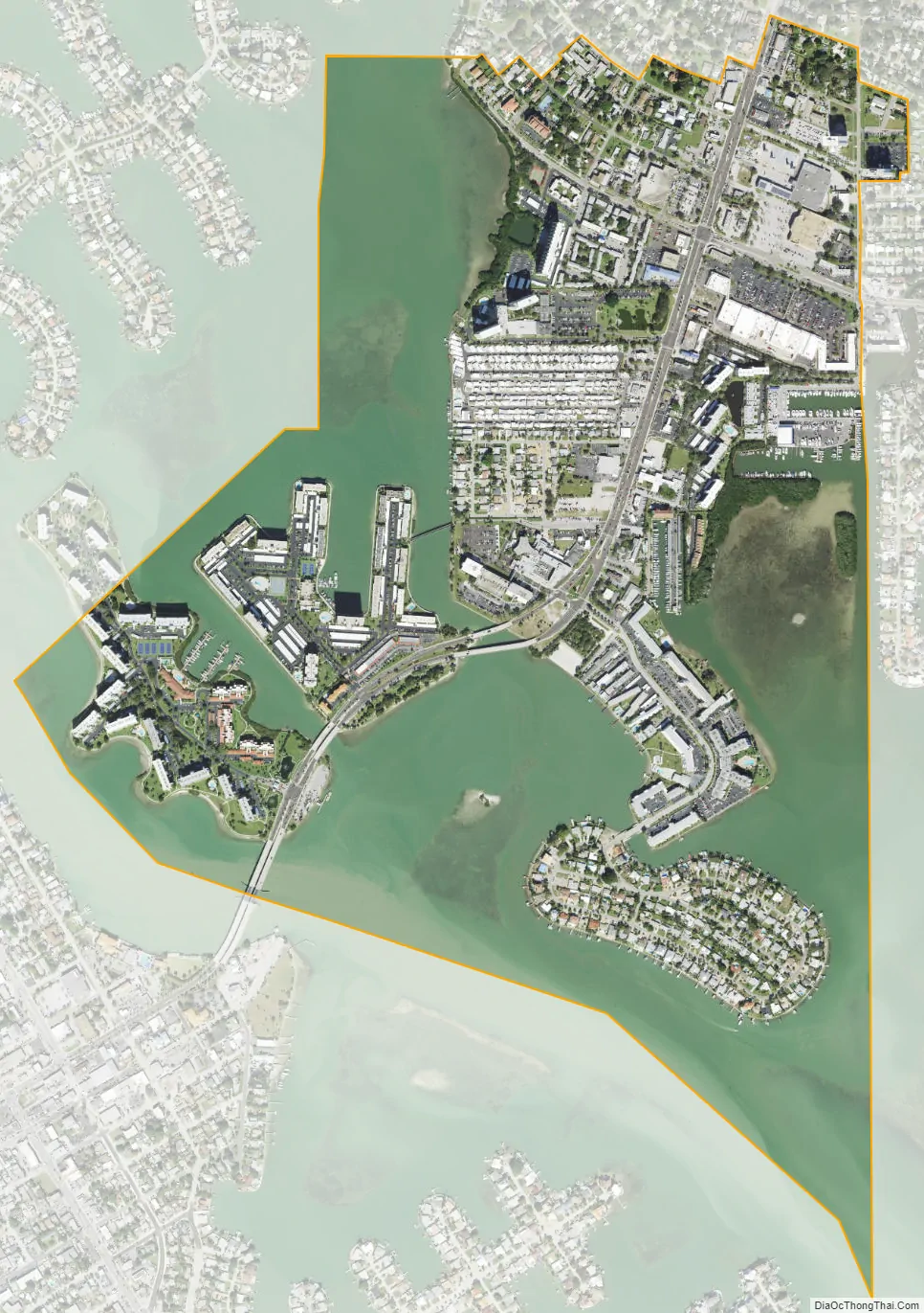
South Pasadena city Satellite Map
Geography
South Pasadena is located at 27°45′16″N 82°44′24″W / 27.75444°N 82.74000°W / 27.75444; -82.74000 (27.754393, –82.739871). The city is located on a peninsula jutting into Boca Ciega Bay, bordered by Bear Creek to the east and St. Petersburg‘s Pasadena neighborhood to the north. The city also includes several islands; these include Pasadena Isle, Deadman’s Key, Sun Island, and Cat Island. All are inhabited except for Cat Island.
According to the United States Census Bureau, the city has a total area of 1.1 square miles (3.0 km), of which 0.7 square mile (1.8 km) is land and 0.5 square mile (1.2 km) (40.87%) is water.
Recreation
The city owns and maintains several parks; these include the Maynard A. Duryea Bay View Park, the Barbara Gilberg Habitat, and the Galatea Garden. The Bay View Park also includes several tennis courts and a playground.
The city also has several shops and businesses, including the Ten Pin bowling alley.
See also
Map of Florida State and its subdivision:- Alachua
- Baker
- Bay
- Bradford
- Brevard
- Broward
- Calhoun
- Charlotte
- Citrus
- Clay
- Collier
- Columbia
- Desoto
- Dixie
- Duval
- Escambia
- Flagler
- Franklin
- Gadsden
- Gilchrist
- Glades
- Gulf
- Hamilton
- Hardee
- Hendry
- Hernando
- Highlands
- Hillsborough
- Holmes
- Indian River
- Jackson
- Jefferson
- Lafayette
- Lake
- Lee
- Leon
- Levy
- Liberty
- Madison
- Manatee
- Marion
- Martin
- Miami-Dade
- Monroe
- Nassau
- Okaloosa
- Okeechobee
- Orange
- Osceola
- Palm Beach
- Pasco
- Pinellas
- Polk
- Putnam
- Saint Johns
- Saint Lucie
- Santa Rosa
- Sarasota
- Seminole
- Sumter
- Suwannee
- Taylor
- Union
- Volusia
- Wakulla
- Walton
- Washington
- Alabama
- Alaska
- Arizona
- Arkansas
- California
- Colorado
- Connecticut
- Delaware
- District of Columbia
- Florida
- Georgia
- Hawaii
- Idaho
- Illinois
- Indiana
- Iowa
- Kansas
- Kentucky
- Louisiana
- Maine
- Maryland
- Massachusetts
- Michigan
- Minnesota
- Mississippi
- Missouri
- Montana
- Nebraska
- Nevada
- New Hampshire
- New Jersey
- New Mexico
- New York
- North Carolina
- North Dakota
- Ohio
- Oklahoma
- Oregon
- Pennsylvania
- Rhode Island
- South Carolina
- South Dakota
- Tennessee
- Texas
- Utah
- Vermont
- Virginia
- Washington
- West Virginia
- Wisconsin
- Wyoming