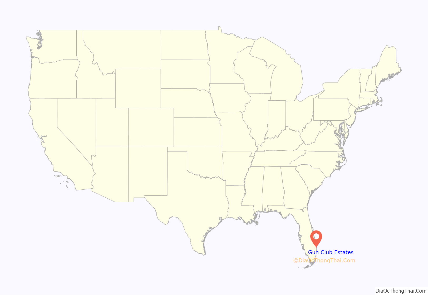
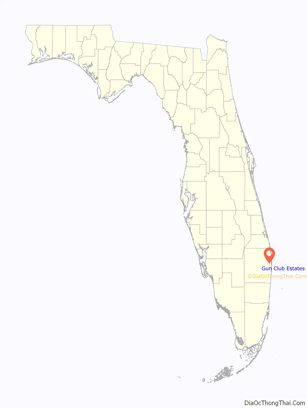
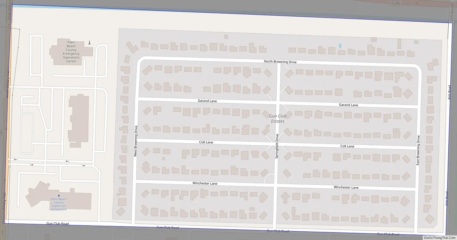
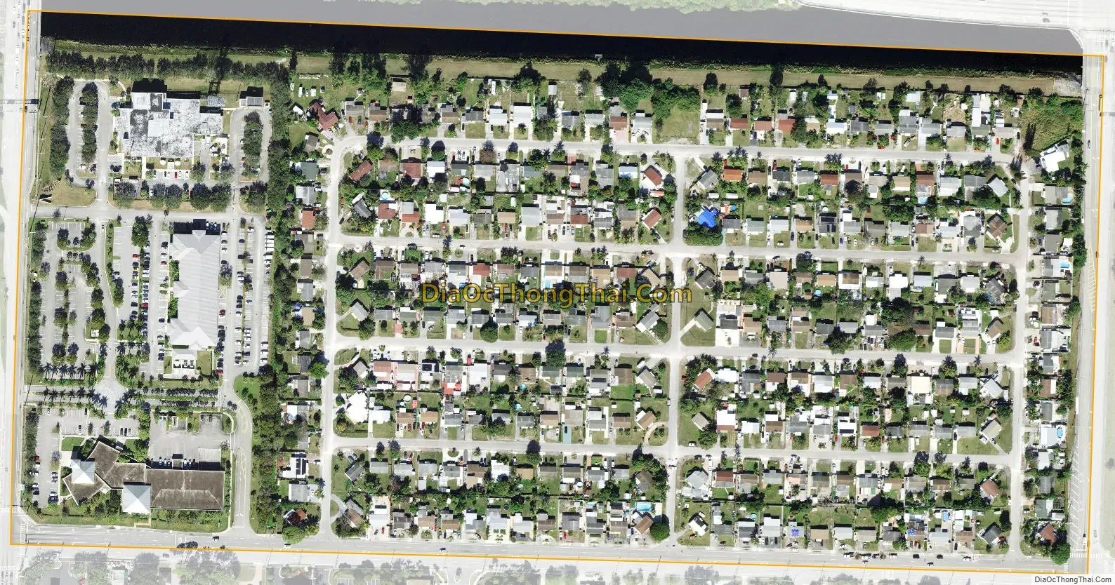
Gun Club Estates is a census-designated place (CDP) in Palm Beach County, Florida, United States. The population was 816 at the 2020 census. The CDP is located in an unincorporated area near the southwest corner of the Palm Beach International Airport (PBI) and is bounded by West Palm Beach Canal on the north, Kirk Road on the east, Gun Club Road on the south, and Military Trail (State Road 809) on the west.
The CDP and Gun Club Road are both named after the Palm Beach Gun Club, a skeet and target shooting range that originally opened in the town of Palm Beach in 1911 and remained there until relocating to the modern-day Gun Club Estates area prior to the Korean War. A biography on Arthur Jackson dating to approximately 1952 notes that during the war, military personnel stationed at PBI (then known as the Palm Beach Air Force Base) used the gun ranges for training. By the mid-1950s, however, the owners of the club relocated it to just north of the intersection of Jog Road and Lake Worth Road (State Road 802) as homes for Gun Club Estates were being constructed.
| Name: | Gun Club Estates CDP |
|---|---|
| LSAD Code: | 57 |
| LSAD Description: | CDP (suffix) |
| State: | Florida |
| County: | Palm Beach County |
| Elevation: | 13 ft (4 m) |
| Total Area: | 0.13 sq mi (0.33 km²) |
| Land Area: | 0.12 sq mi (0.31 km²) |
| Water Area: | 0.01 sq mi (0.02 km²) |
| Total Population: | 816 |
| Population Density: | 6,857.14/sq mi (2,637.75/km²) |
| ZIP code: | 33406 |
| Area code: | 561 |
| FIPS code: | 1228305 |
| GNISfeature ID: | 1853256 |
Online Interactive Map
Click on ![]() to view map in "full screen" mode.
to view map in "full screen" mode.
Gun Club Estates location map. Where is Gun Club Estates CDP?
Gun Club Estates Road Map
Gun Club Estates city Satellite Map
Geography
Gun Club Estates is located at 26°40′31″N 80°06′32″W / 26.675393°N 80.108789°W / 26.675393; -80.108789.
According to the United States Census Bureau, the CDP has a total area of 0.3 km (0.1 mi), all land.
See also
Map of Florida State and its subdivision:- Alachua
- Baker
- Bay
- Bradford
- Brevard
- Broward
- Calhoun
- Charlotte
- Citrus
- Clay
- Collier
- Columbia
- Desoto
- Dixie
- Duval
- Escambia
- Flagler
- Franklin
- Gadsden
- Gilchrist
- Glades
- Gulf
- Hamilton
- Hardee
- Hendry
- Hernando
- Highlands
- Hillsborough
- Holmes
- Indian River
- Jackson
- Jefferson
- Lafayette
- Lake
- Lee
- Leon
- Levy
- Liberty
- Madison
- Manatee
- Marion
- Martin
- Miami-Dade
- Monroe
- Nassau
- Okaloosa
- Okeechobee
- Orange
- Osceola
- Palm Beach
- Pasco
- Pinellas
- Polk
- Putnam
- Saint Johns
- Saint Lucie
- Santa Rosa
- Sarasota
- Seminole
- Sumter
- Suwannee
- Taylor
- Union
- Volusia
- Wakulla
- Walton
- Washington
- Alabama
- Alaska
- Arizona
- Arkansas
- California
- Colorado
- Connecticut
- Delaware
- District of Columbia
- Florida
- Georgia
- Hawaii
- Idaho
- Illinois
- Indiana
- Iowa
- Kansas
- Kentucky
- Louisiana
- Maine
- Maryland
- Massachusetts
- Michigan
- Minnesota
- Mississippi
- Missouri
- Montana
- Nebraska
- Nevada
- New Hampshire
- New Jersey
- New Mexico
- New York
- North Carolina
- North Dakota
- Ohio
- Oklahoma
- Oregon
- Pennsylvania
- Rhode Island
- South Carolina
- South Dakota
- Tennessee
- Texas
- Utah
- Vermont
- Virginia
- Washington
- West Virginia
- Wisconsin
- Wyoming


