Haverhill is a town in Palm Beach County, Florida, United States. Haverhill became a town on May 3, 1950, and was named after the city of Haverhill, Massachusetts. The town has maintained a small population since its establishment. The 2010 census recorded a population of 1,873, while the population was estimated at 2,123 in 2018. Haverhill, located in east-central Palm Beach County near the western periphery of the Palm Beach International Airport, is also small geographically, encompassing just 0.63 square miles (1.6 km).
| Name: | Haverhill town |
|---|---|
| LSAD Code: | 43 |
| LSAD Description: | town (suffix) |
| State: | Florida |
| County: | Palm Beach County |
| Elevation: | 16 ft (5 m) |
| Total Area: | 0.63 sq mi (1.64 km²) |
| Land Area: | 0.63 sq mi (1.64 km²) |
| Water Area: | 0.00 sq mi (0.00 km²) |
| Total Population: | 2,187 |
| Population Density: | 3,460.44/sq mi (1,335.74/km²) |
| Area code: | 561 |
| FIPS code: | 1229200 |
| GNISfeature ID: | 0283819 |
| Website: | www.townofhaverhill-fl.gov |
Online Interactive Map
Click on ![]() to view map in "full screen" mode.
to view map in "full screen" mode.
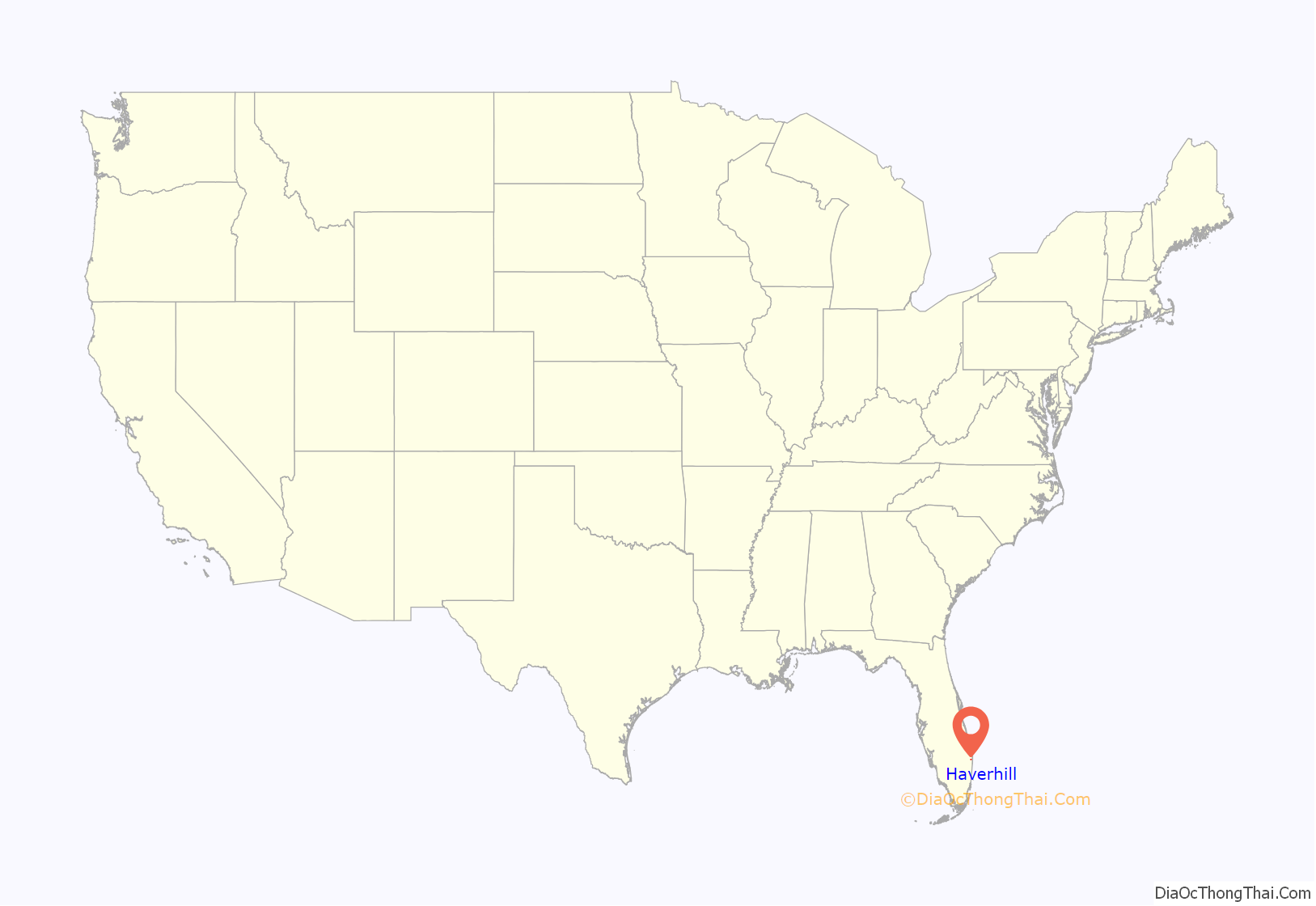
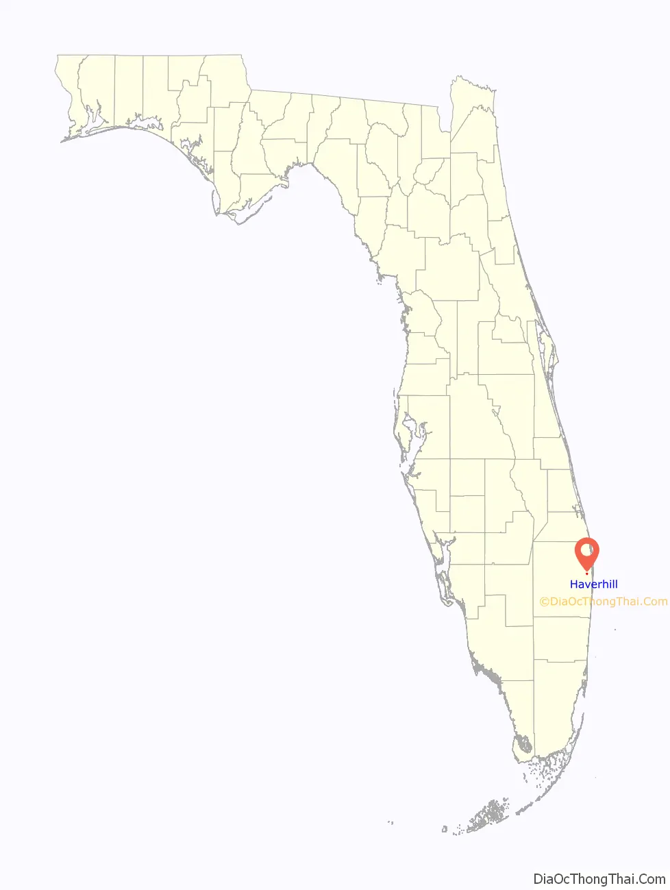
Haverhill location map. Where is Haverhill town?
History
In 1949, approximately 50 families living in the area began an effort to incorporate it into a town. A share of the first settlers being natives of Haverhill, Massachusetts, caused the name to be selected. A vote on the motion to incorporate occurred on May 3, 1950. A total 59 out of 65 registered voters in Haverhill attended, who voted 42–17 in favor of incorporation. Ray Cox became the first mayor; other officers included Mrs. Fred Raulerson as town clerk, Tom Steele as town marshal, and Don Boyd, Henry Franklin, Paul Huffman, Myron V. Kelly, and A. J. Ward as town council members. The first census of the town, taken in 1960, recorded a population of 442. In the mid 1960s, construction began on a town hall, completed in August 1967 at a cost of $25,000. The town hall is a one-story building located at 4585 Charlotte Street near the eastern edge of the town. The town council is composed of five seats including the vice mayor and mayor. The current mayor is Jay Foy.
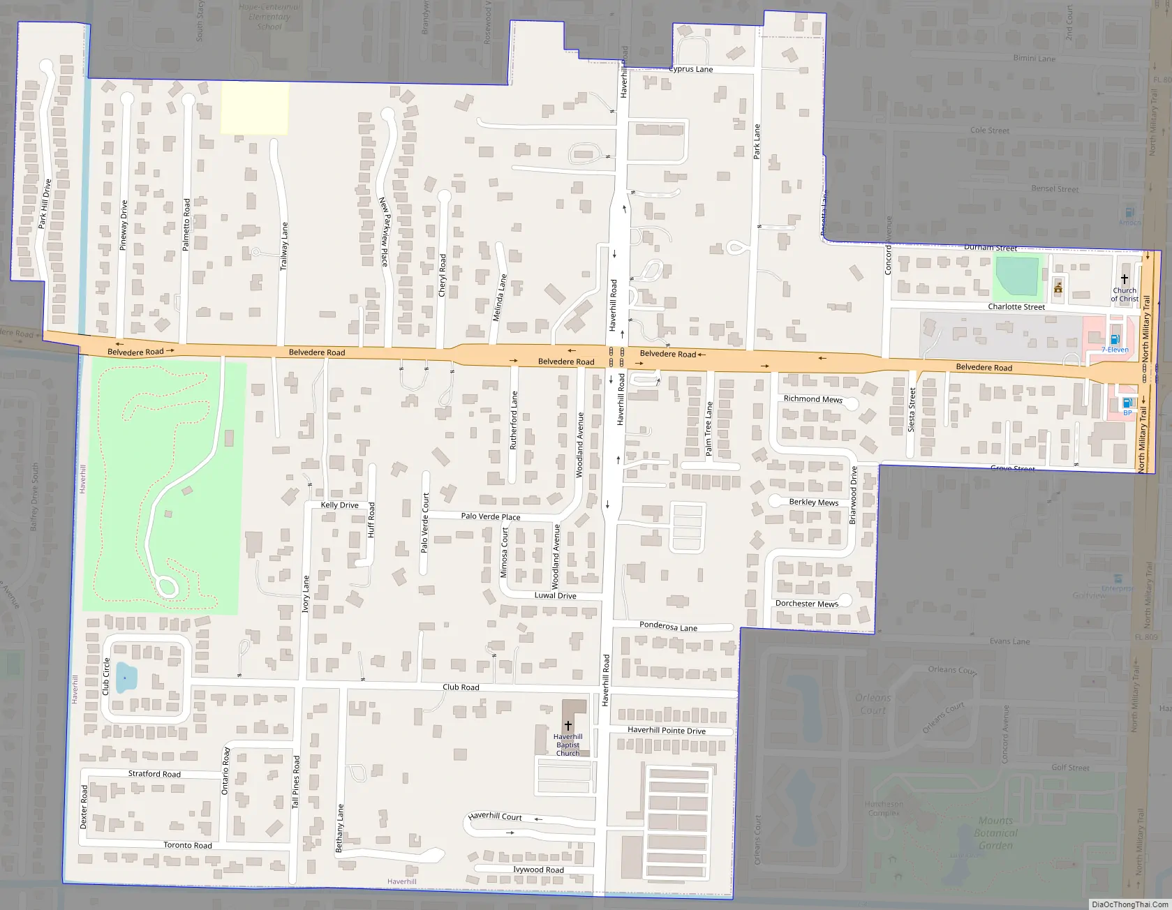
Haverhill Road Map
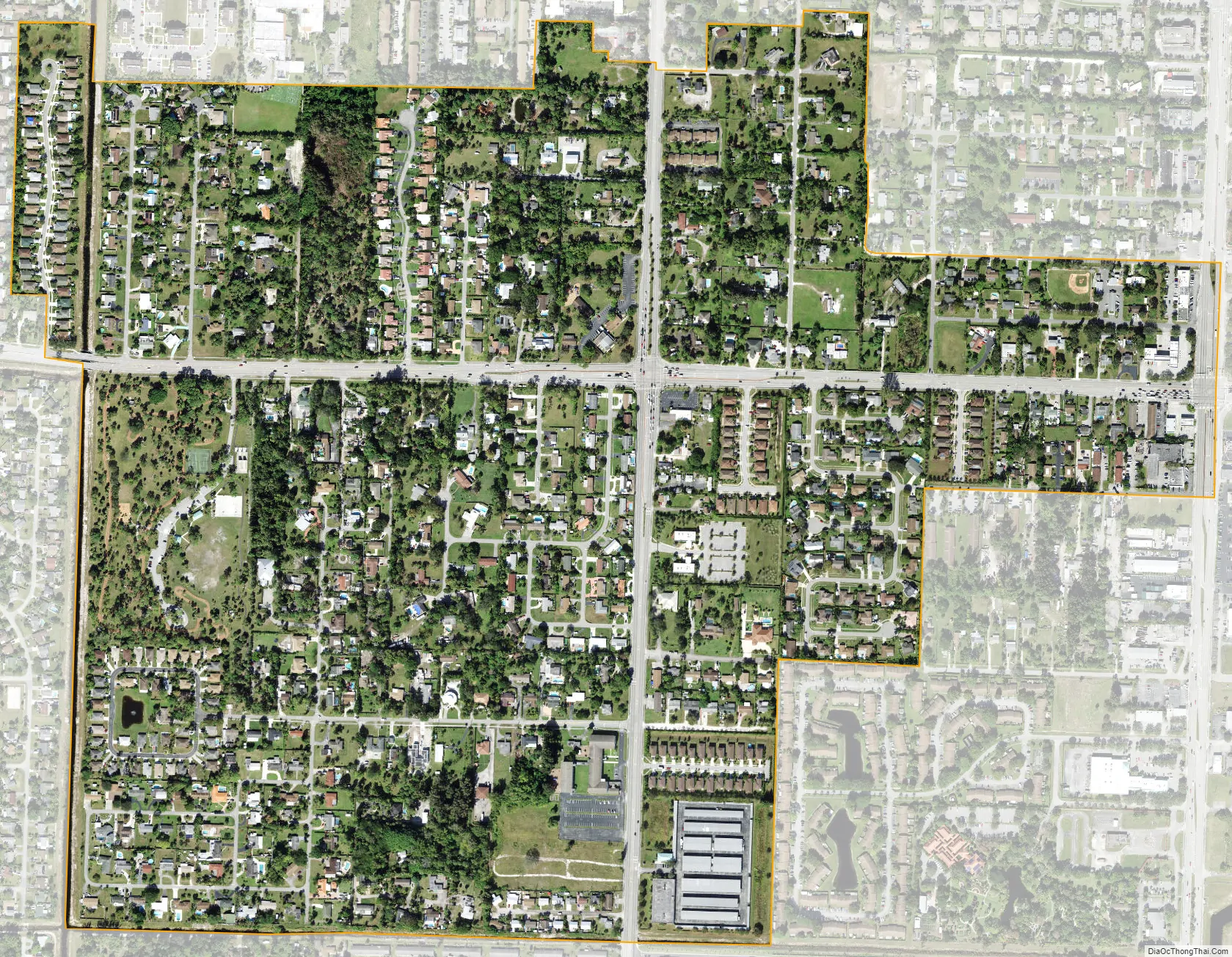
Haverhill city Satellite Map
Geography
Haverhill is located at 26°41′25″N 80°7′15″W / 26.69028°N 80.12083°W / 26.69028; -80.12083 (26.690310, –80.120913). Although surrounded by unincorporated areas, Haverhill is located just west-northwest of the Palm Beach International Airport and borders the census-designated places of Lake Belvedere Estates, Royal Palm Estates, and Stacy Street.
The Town of Haverhill includes Haverhill Park, a county park located on 5470 Belvedere Road. The town hall is also adjacent to, and operates the Tommy Plyler Baseball Field (little league)
According to the United States Census Bureau, the town has a total area of 0.6 square miles (1.6 km), all land.
See also
Map of Florida State and its subdivision:- Alachua
- Baker
- Bay
- Bradford
- Brevard
- Broward
- Calhoun
- Charlotte
- Citrus
- Clay
- Collier
- Columbia
- Desoto
- Dixie
- Duval
- Escambia
- Flagler
- Franklin
- Gadsden
- Gilchrist
- Glades
- Gulf
- Hamilton
- Hardee
- Hendry
- Hernando
- Highlands
- Hillsborough
- Holmes
- Indian River
- Jackson
- Jefferson
- Lafayette
- Lake
- Lee
- Leon
- Levy
- Liberty
- Madison
- Manatee
- Marion
- Martin
- Miami-Dade
- Monroe
- Nassau
- Okaloosa
- Okeechobee
- Orange
- Osceola
- Palm Beach
- Pasco
- Pinellas
- Polk
- Putnam
- Saint Johns
- Saint Lucie
- Santa Rosa
- Sarasota
- Seminole
- Sumter
- Suwannee
- Taylor
- Union
- Volusia
- Wakulla
- Walton
- Washington
- Alabama
- Alaska
- Arizona
- Arkansas
- California
- Colorado
- Connecticut
- Delaware
- District of Columbia
- Florida
- Georgia
- Hawaii
- Idaho
- Illinois
- Indiana
- Iowa
- Kansas
- Kentucky
- Louisiana
- Maine
- Maryland
- Massachusetts
- Michigan
- Minnesota
- Mississippi
- Missouri
- Montana
- Nebraska
- Nevada
- New Hampshire
- New Jersey
- New Mexico
- New York
- North Carolina
- North Dakota
- Ohio
- Oklahoma
- Oregon
- Pennsylvania
- Rhode Island
- South Carolina
- South Dakota
- Tennessee
- Texas
- Utah
- Vermont
- Virginia
- Washington
- West Virginia
- Wisconsin
- Wyoming


