Hernando is a census-designated place in Citrus County, Florida, United States. The population was 9,054 at the 2010 census. At one time it was a city but it was disincorporated in the 1970s.
| Name: | Hernando CDP |
|---|---|
| LSAD Code: | 57 |
| LSAD Description: | CDP (suffix) |
| State: | Florida |
| County: | Citrus County |
| Elevation: | 56 ft (17 m) |
| Total Area: | 35.54 sq mi (92.05 km²) |
| Land Area: | 31.71 sq mi (82.14 km²) |
| Water Area: | 3.83 sq mi (9.91 km²) |
| Total Population: | 9,284 |
| Population Density: | 292.75/sq mi (113.03/km²) |
| ZIP code: | 34442 |
| Area code: | 352 |
| FIPS code: | 1229425 |
| GNISfeature ID: | 0283922 |
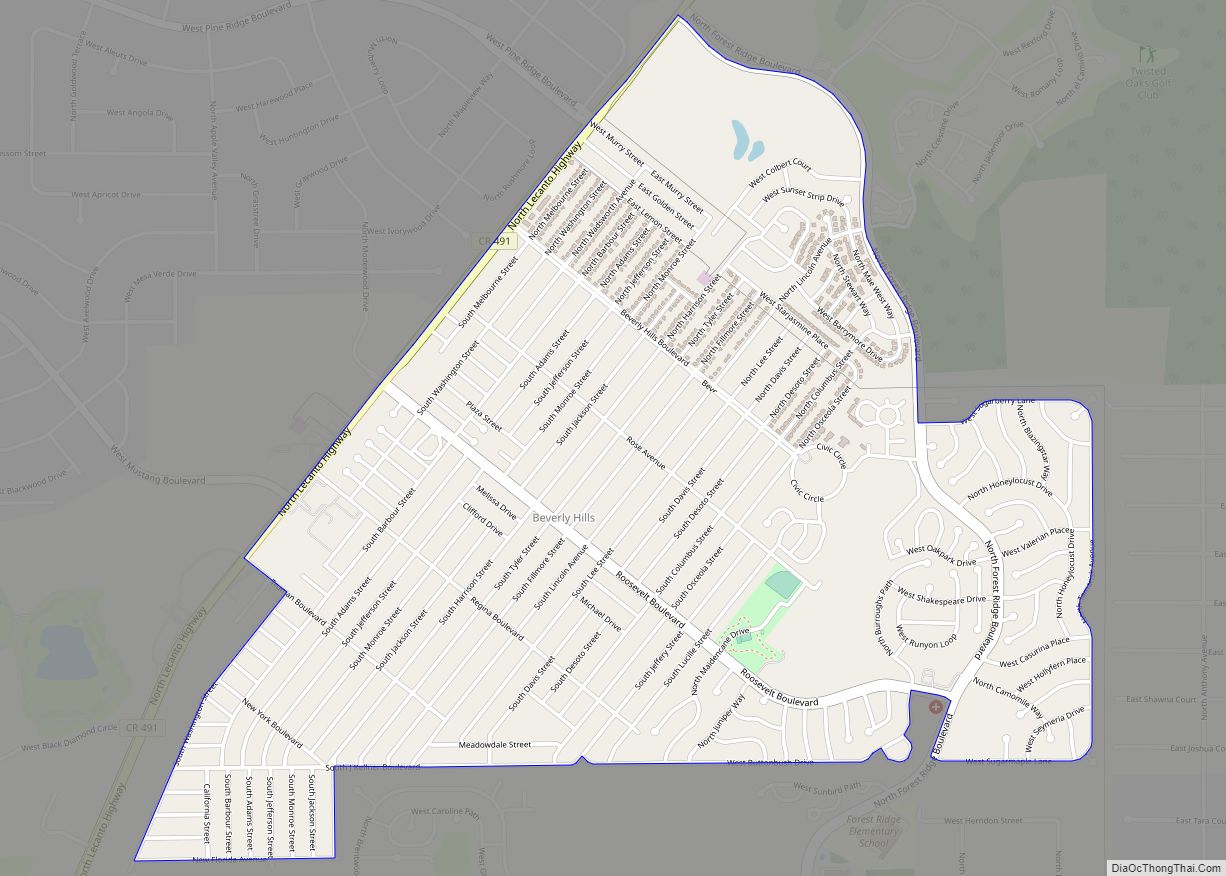
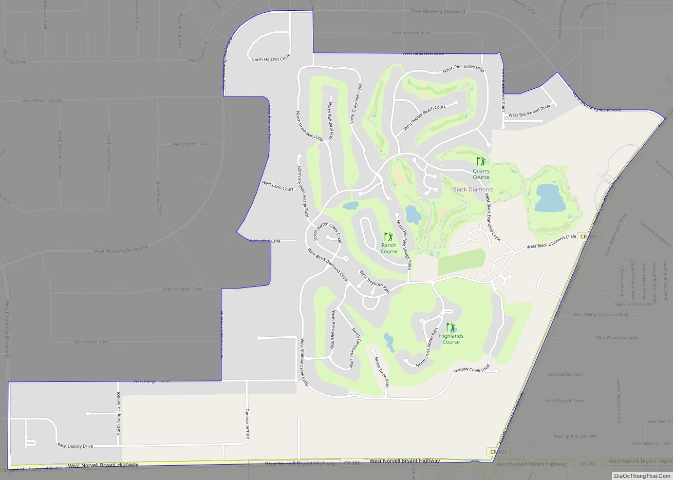
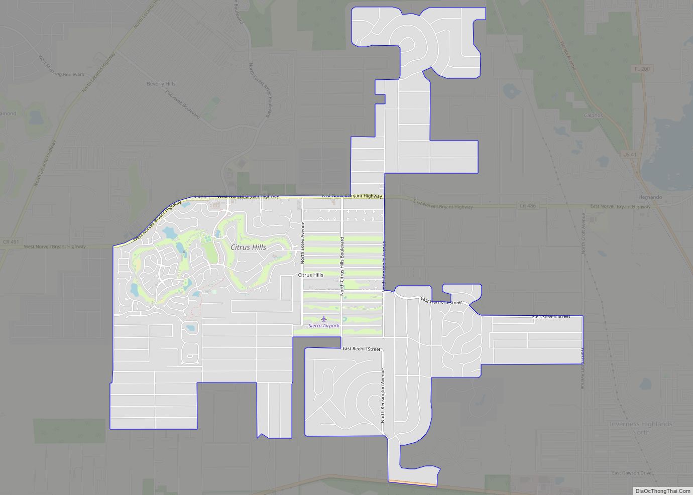
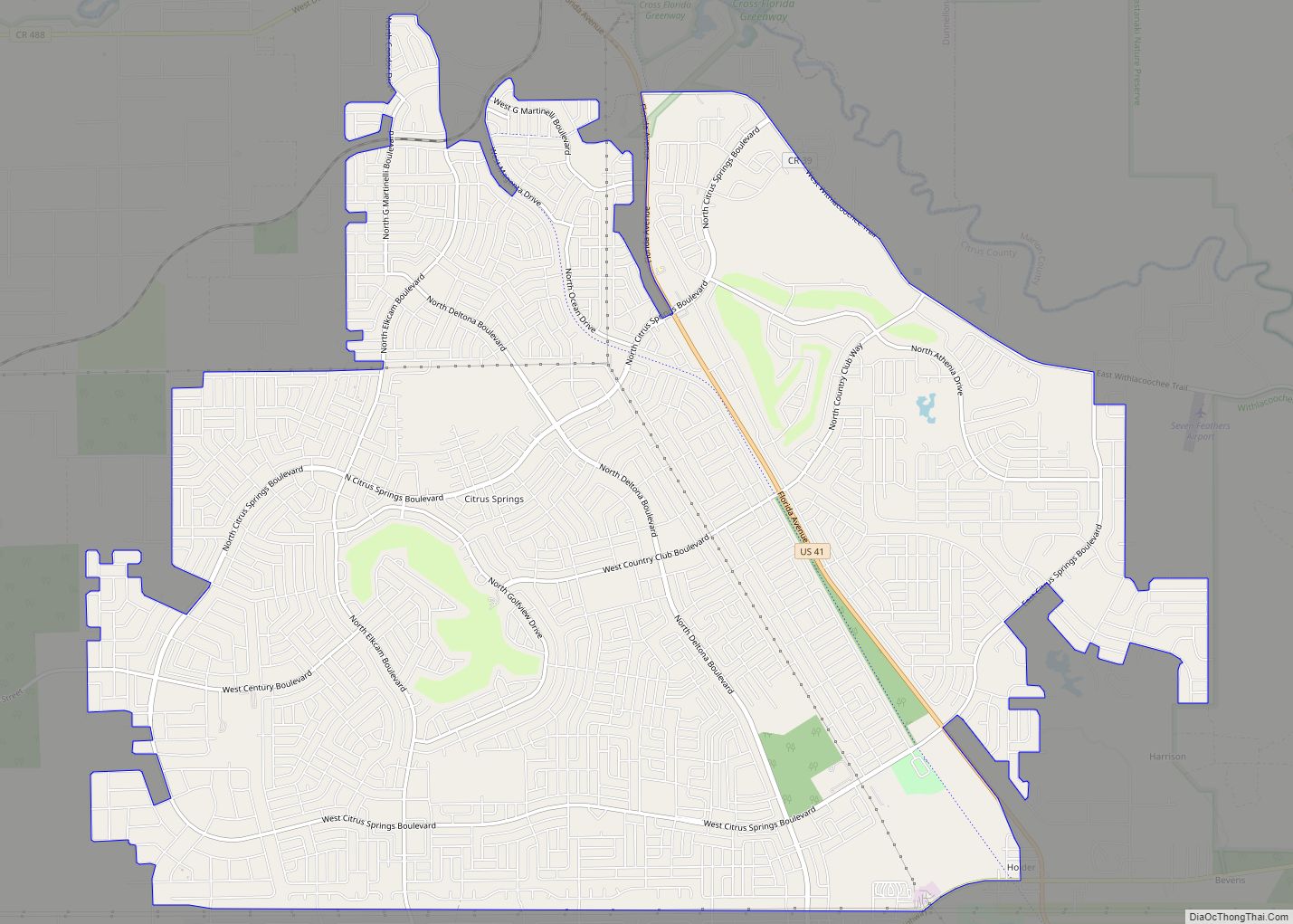
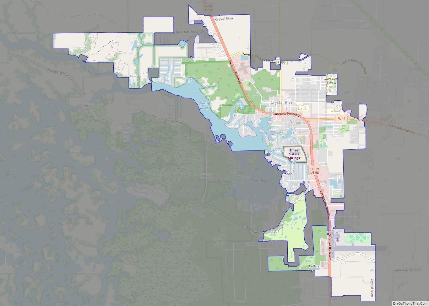
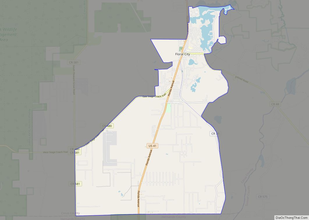
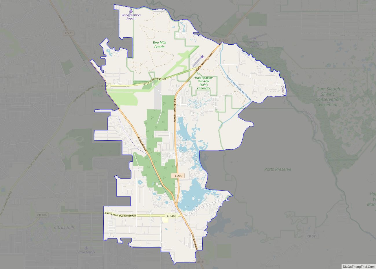
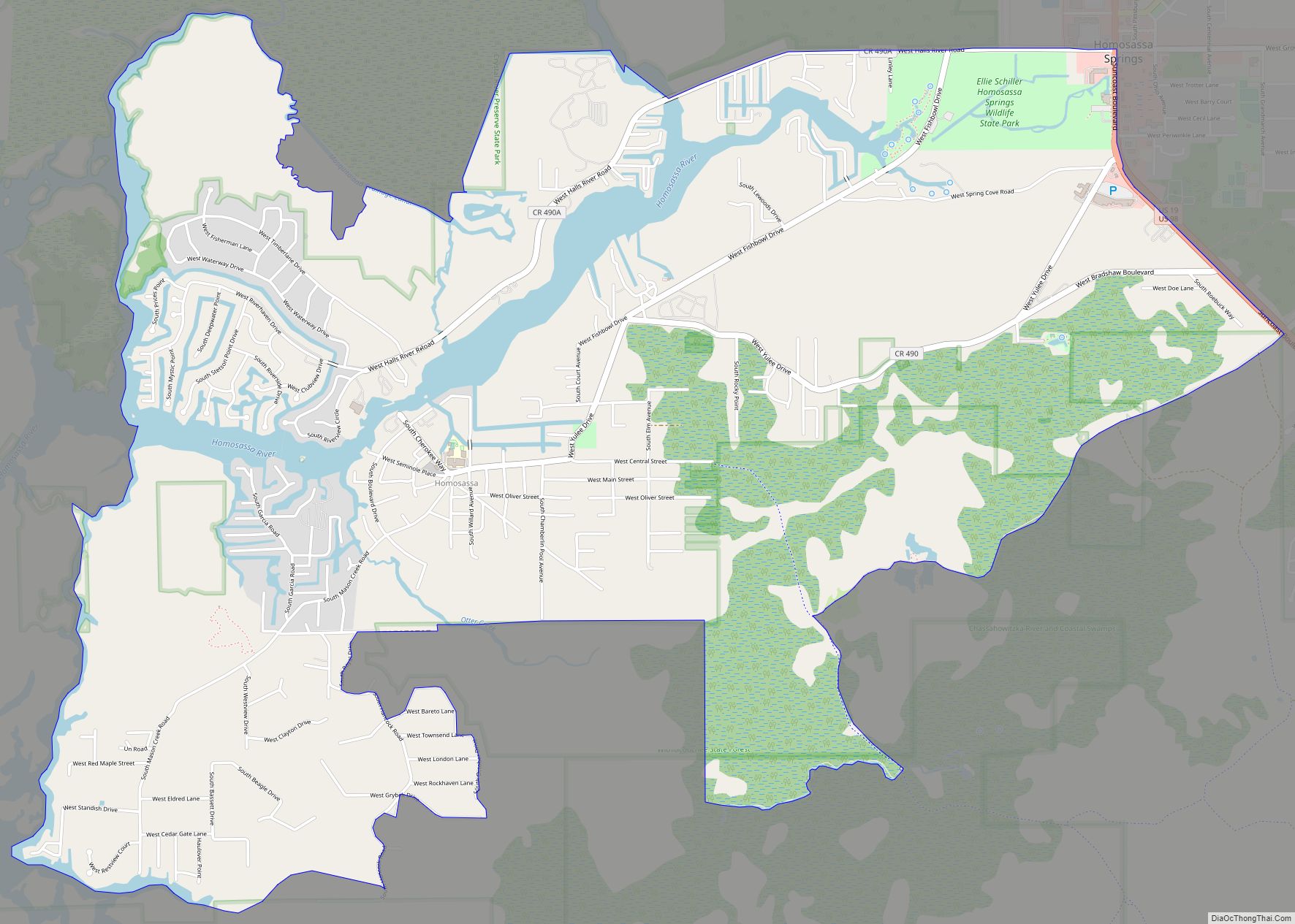
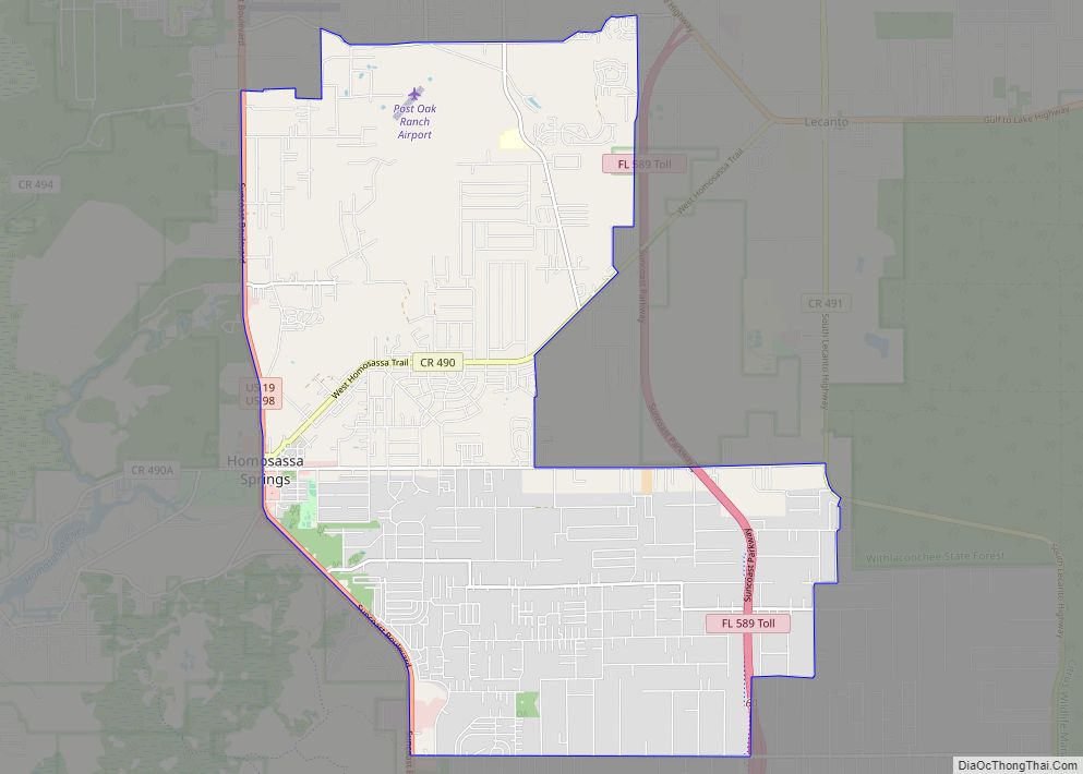
Online Interactive Map
Click on ![]() to view map in "full screen" mode.
to view map in "full screen" mode.
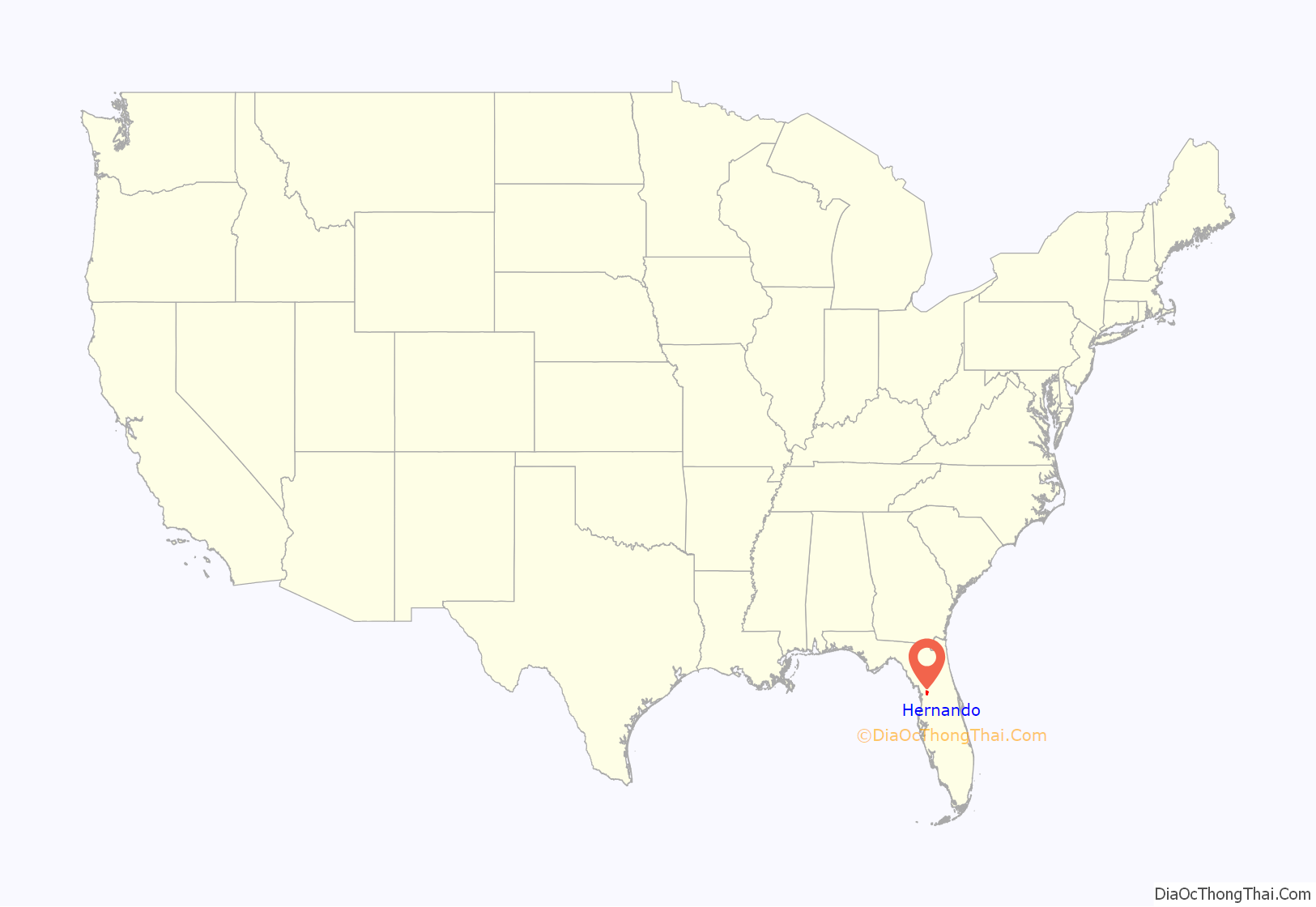
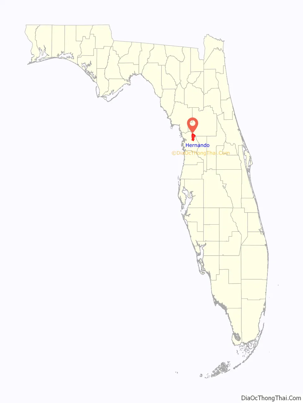
Hernando location map. Where is Hernando CDP?
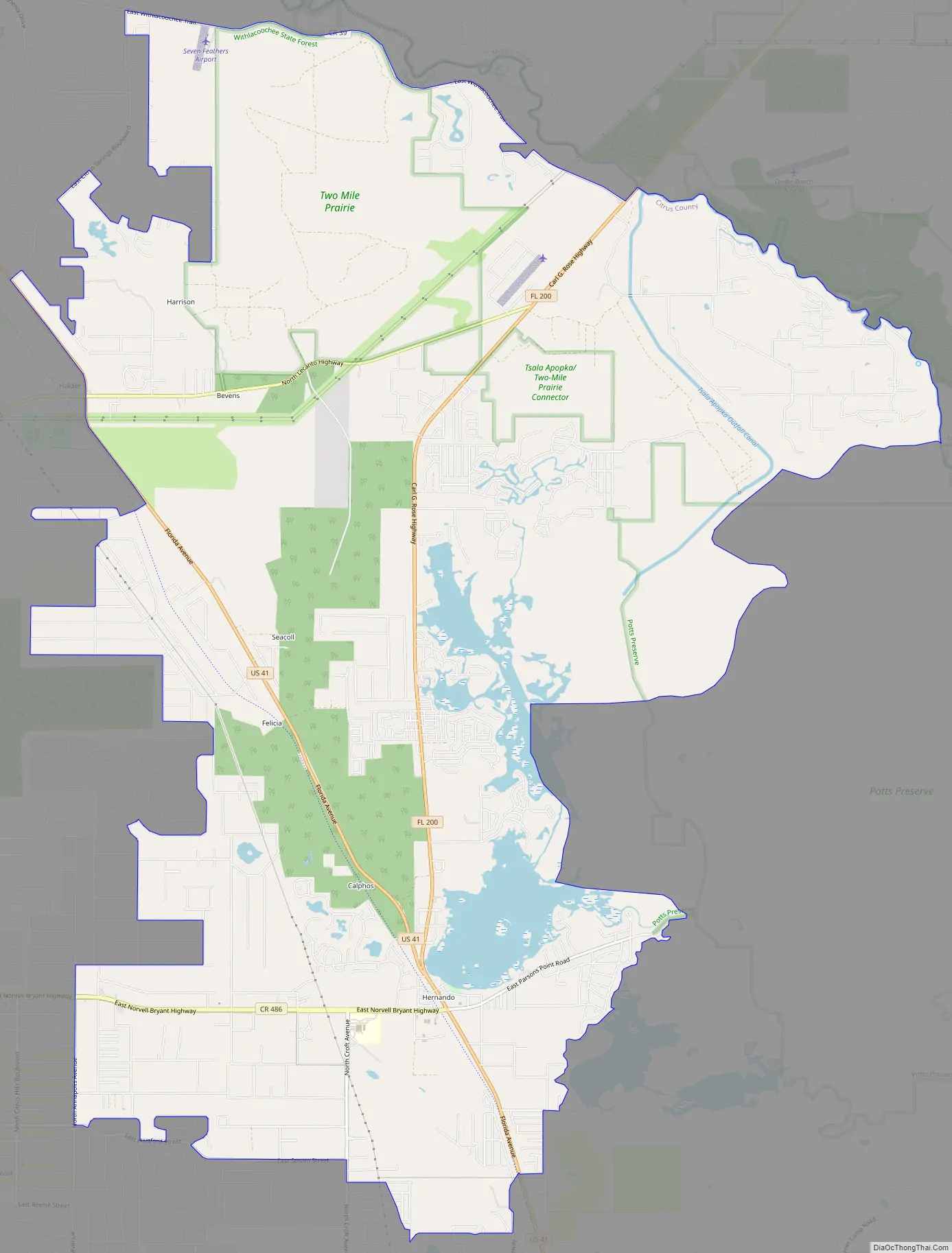
Hernando Road Map
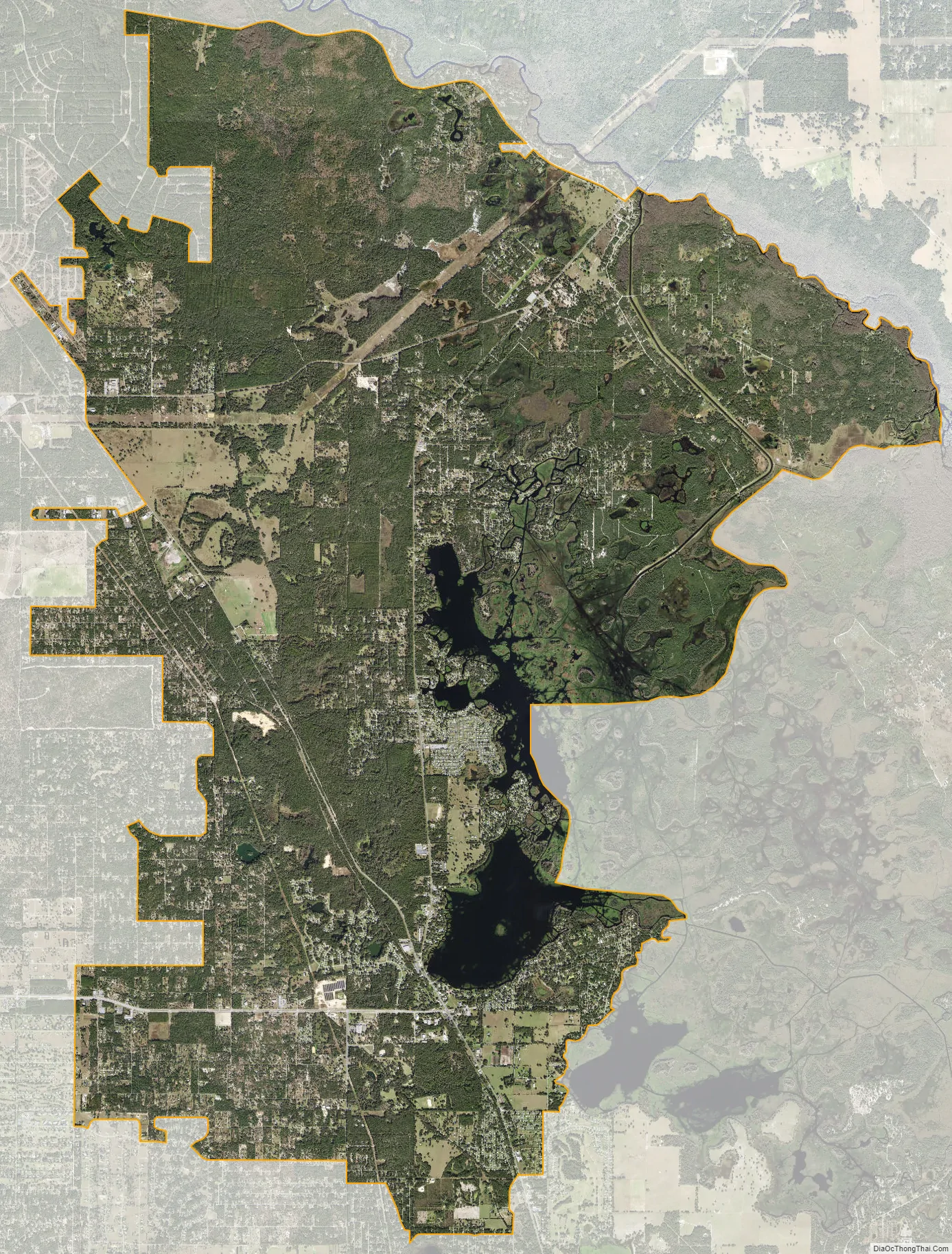
Hernando city Satellite Map
Geography
Hernando is located in northeastern Citrus County at 28°55′46″N 82°22′28″W / 28.92944°N 82.37444°W / 28.92944; -82.37444 (28.929498, -82.374340). It is bordered by Citrus Springs to the northwest, Pine Ridge to the west, Citrus Hill to the southwest, Inverness Highlands North to the south, and Marion County to the north. The eastern edge of the CDP extends into Tsala Apopka Lake, a network of lakes and wetlands that are part of the Withlacoochee River system.
According to the United States Census Bureau, the CDP has a total area of 35.6 square miles (92.1 km), of which 31.7 square miles (82.1 km) is land and 3.9 square miles (10.0 km), or 10.85%, is water.
See also
Map of Florida State and its subdivision:- Alachua
- Baker
- Bay
- Bradford
- Brevard
- Broward
- Calhoun
- Charlotte
- Citrus
- Clay
- Collier
- Columbia
- Desoto
- Dixie
- Duval
- Escambia
- Flagler
- Franklin
- Gadsden
- Gilchrist
- Glades
- Gulf
- Hamilton
- Hardee
- Hendry
- Hernando
- Highlands
- Hillsborough
- Holmes
- Indian River
- Jackson
- Jefferson
- Lafayette
- Lake
- Lee
- Leon
- Levy
- Liberty
- Madison
- Manatee
- Marion
- Martin
- Miami-Dade
- Monroe
- Nassau
- Okaloosa
- Okeechobee
- Orange
- Osceola
- Palm Beach
- Pasco
- Pinellas
- Polk
- Putnam
- Saint Johns
- Saint Lucie
- Santa Rosa
- Sarasota
- Seminole
- Sumter
- Suwannee
- Taylor
- Union
- Volusia
- Wakulla
- Walton
- Washington
- Alabama
- Alaska
- Arizona
- Arkansas
- California
- Colorado
- Connecticut
- Delaware
- District of Columbia
- Florida
- Georgia
- Hawaii
- Idaho
- Illinois
- Indiana
- Iowa
- Kansas
- Kentucky
- Louisiana
- Maine
- Maryland
- Massachusetts
- Michigan
- Minnesota
- Mississippi
- Missouri
- Montana
- Nebraska
- Nevada
- New Hampshire
- New Jersey
- New Mexico
- New York
- North Carolina
- North Dakota
- Ohio
- Oklahoma
- Oregon
- Pennsylvania
- Rhode Island
- South Carolina
- South Dakota
- Tennessee
- Texas
- Utah
- Vermont
- Virginia
- Washington
- West Virginia
- Wisconsin
- Wyoming