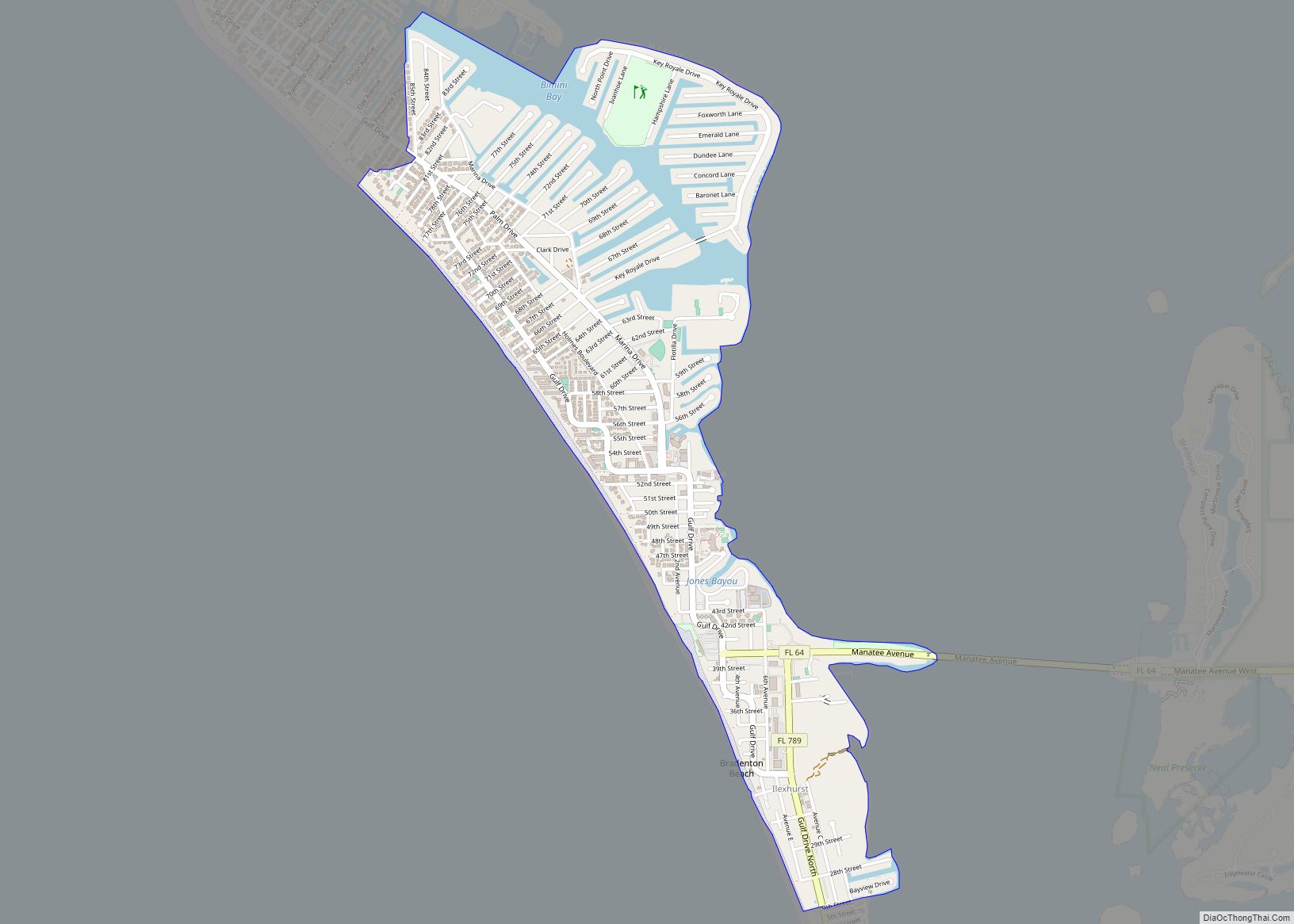
Holmes Beach is a city on Anna Maria Island in Manatee County, Florida, United States. As of the 2020 census, it had a population of 3,010, down from 3,836 at the 2010 census. It is part of the Bradenton-Sarasota-Venice, Florida Metropolitan Statistical Area. The city occupies the central part of Anna Maria Island and is one of three municipalities on the island. The others are Bradenton Beach in the south and Anna Maria in the north.
| Name: | Holmes Beach city |
|---|---|
| LSAD Code: | 25 |
| LSAD Description: | city (suffix) |
| State: | Florida |
| County: | Manatee County |
| Elevation: | 3 ft (0.9 m) |
| Total Area: | 1.91 sq mi (4.95 km²) |
| Land Area: | 1.68 sq mi (4.35 km²) |
| Water Area: | 0.23 sq mi (0.60 km²) |
| Total Population: | 3,010 |
| Population Density: | 1,793.80/sq mi (692.50/km²) |
| ZIP code: | 34217, 34218 |
| Area code: | 941 |
| FIPS code: | 1232150 |
| GNISfeature ID: | 0284190 |
| Website: | holmesbeachfl.org |
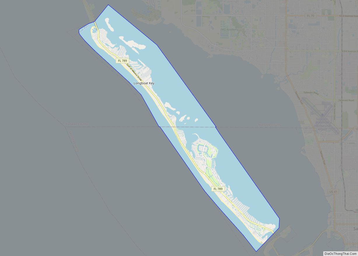
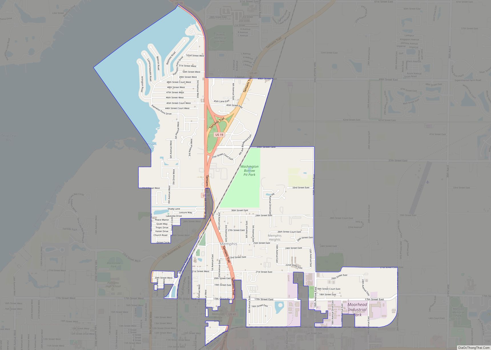
Online Interactive Map
Click on ![]() to view map in "full screen" mode.
to view map in "full screen" mode.
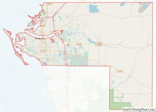
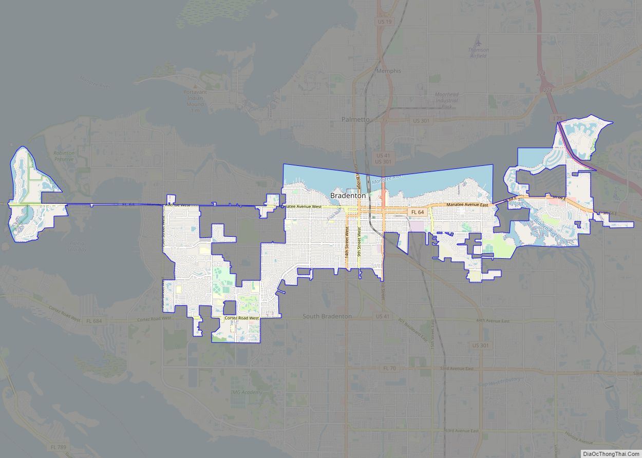
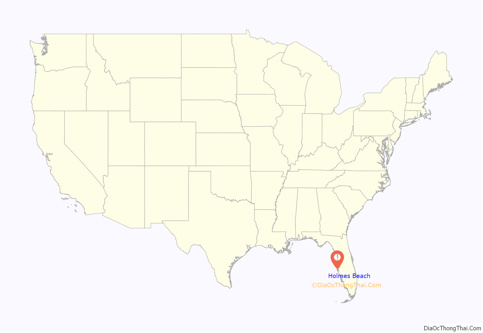
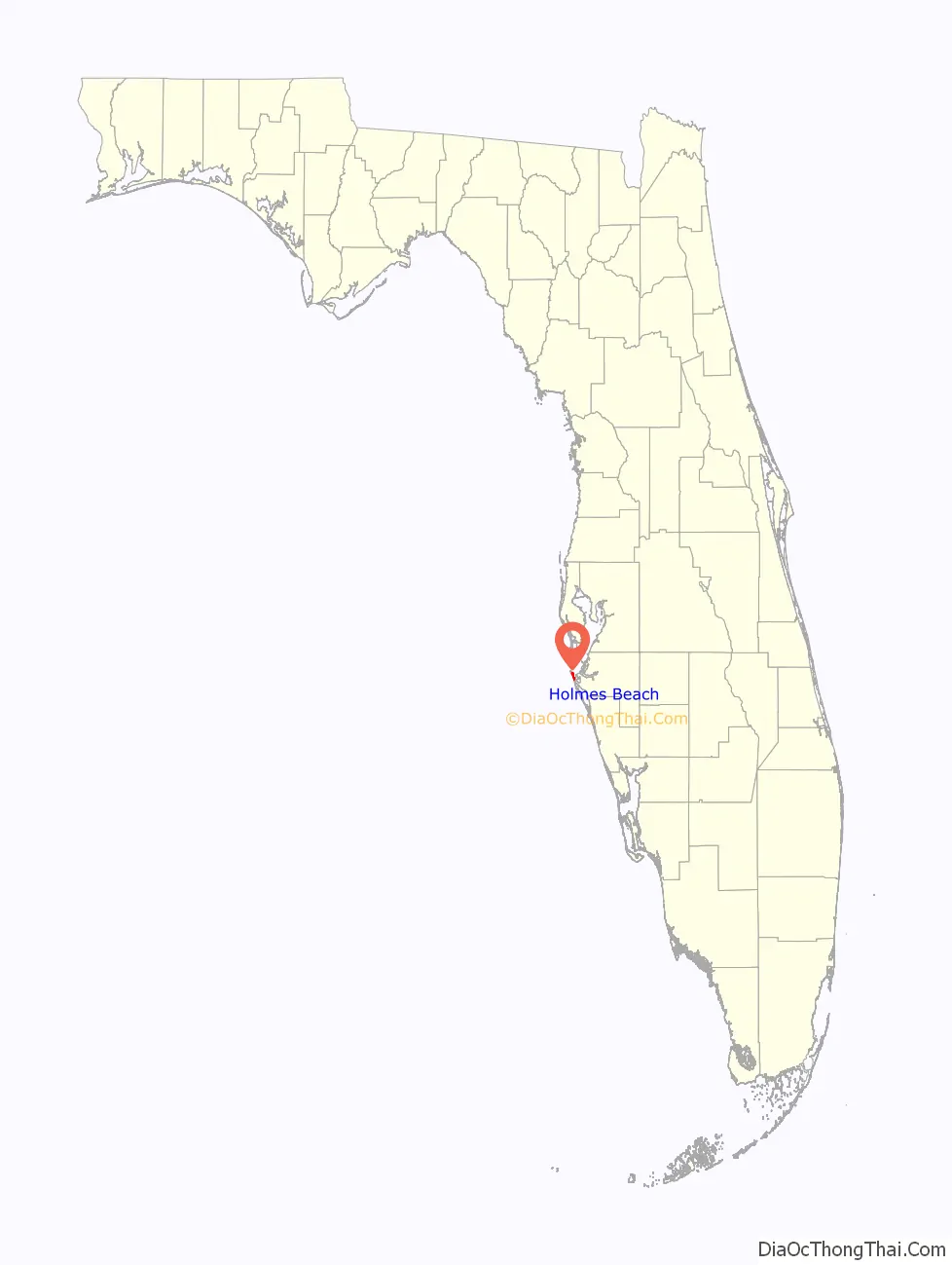
Holmes Beach location map. Where is Holmes Beach city?
History
Holmes Beach was named for John E. Holmes Sr., the property developer who started this planned community after World War II. During World War II, Holmes was stationed in Tampa. Holmes obtained the interest of three others, Frank B. Giles of Georgia, Pedar Mickelsen of Minnesota and Francis Karel of Chicago, to help develop it. In 1947 or 1948 a small airport was built. One person had a plane at the airport and used it as an air taxi during the tourist season and was used by residents and visitors taking them to wherever they wanted to go. Holmes Beach was incorporated on March 13, 1950, during a meeting about incorporating with 46 voting in favor, 13 against and 1 in abstention. Opponents of incorporation argued that tax money from cigarettes and liquor sales would be lost along with county assistance for road maintenance. Those in favor of incorporation argued that it would be easier for lenders to finance new construction on the island and give local residents an equal weight for their voice in their own government. Despite a request not to use anyone’s name, Holmes Beach was decided on, although names such as Palm City, Mid-Island Beach, Coquina Beach and Tarpon Beach were considered as well. At the end of the meeting the city’s first officials were elected.
Manatee Public Beach located at the intersection of Manatee Avenue and Gulf Drive opened in 1952 originally as Manatee County Public Beach. It was managed by a local Kiwanis Club chapter, with all proceeds going to local charity-related initiatives. During the 1950s and 1960s the beach was racially segregated like many others in the Southeastern United States. It is not clear, however, when the beach was officially desegregated. The beach was renamed “Manatee Beach” before being changed to Manatee Public Beach.
In 1954, Holmes Beach annexed the neighboring subdivision communities of Ilexhurst, Jones, and Casanas, bringing the entirety of Anna Maria Island under municipal governments.
An airport that had existed closed in 1973 because of the cost to maintain it and that it needed improvements. Between 1975 and 1980, the airport land was redeveloped by the municipal government.
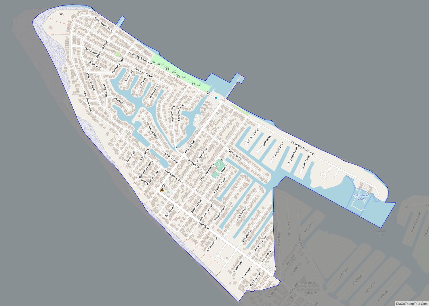
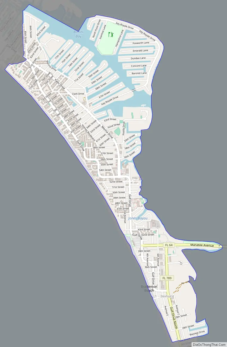
Holmes Beach Road Map
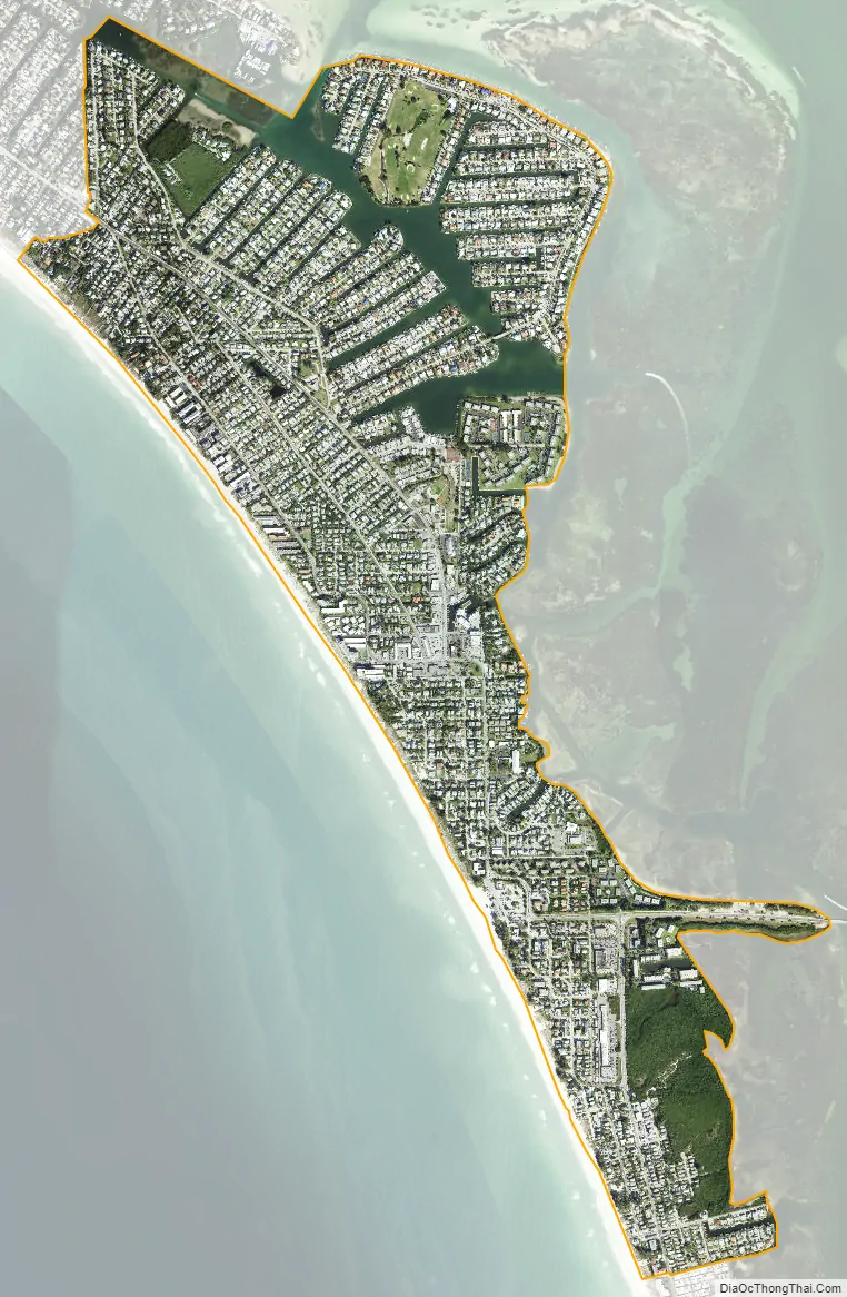
Holmes Beach city Satellite Map
Geography
According to the United States Census Bureau, the city has a total area of 1.91 square miles (4.9 km), of which 1.68 square miles (4.4 km) are land and 0.23 square miles (0.60 km), or 12.19%, are water.
Key Royale
Included in the city limits is the adjacent bayside island of Key Royale, formerly known as School Key. It was uninhabited until 1960, when a bridge was built joining it to the Holmes Beach section of Anna Maria Island; development then began.
See also
Map of Florida State and its subdivision:- Alachua
- Baker
- Bay
- Bradford
- Brevard
- Broward
- Calhoun
- Charlotte
- Citrus
- Clay
- Collier
- Columbia
- Desoto
- Dixie
- Duval
- Escambia
- Flagler
- Franklin
- Gadsden
- Gilchrist
- Glades
- Gulf
- Hamilton
- Hardee
- Hendry
- Hernando
- Highlands
- Hillsborough
- Holmes
- Indian River
- Jackson
- Jefferson
- Lafayette
- Lake
- Lee
- Leon
- Levy
- Liberty
- Madison
- Manatee
- Marion
- Martin
- Miami-Dade
- Monroe
- Nassau
- Okaloosa
- Okeechobee
- Orange
- Osceola
- Palm Beach
- Pasco
- Pinellas
- Polk
- Putnam
- Saint Johns
- Saint Lucie
- Santa Rosa
- Sarasota
- Seminole
- Sumter
- Suwannee
- Taylor
- Union
- Volusia
- Wakulla
- Walton
- Washington
- Alabama
- Alaska
- Arizona
- Arkansas
- California
- Colorado
- Connecticut
- Delaware
- District of Columbia
- Florida
- Georgia
- Hawaii
- Idaho
- Illinois
- Indiana
- Iowa
- Kansas
- Kentucky
- Louisiana
- Maine
- Maryland
- Massachusetts
- Michigan
- Minnesota
- Mississippi
- Missouri
- Montana
- Nebraska
- Nevada
- New Hampshire
- New Jersey
- New Mexico
- New York
- North Carolina
- North Dakota
- Ohio
- Oklahoma
- Oregon
- Pennsylvania
- Rhode Island
- South Carolina
- South Dakota
- Tennessee
- Texas
- Utah
- Vermont
- Virginia
- Washington
- West Virginia
- Wisconsin
- Wyoming